- Nyhet
Sweden Middle Road and Leisure Map
Sundsvall - Falun - Gavle
166 kr
Beställningsvara. Skickas inom 3-6 vardagar. Fri frakt över 249 kr.
Beskrivning
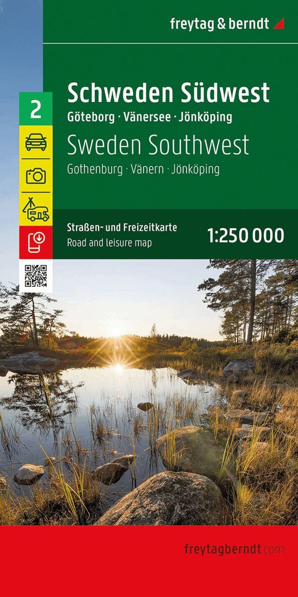
The road map of Central Sweden at a scale of 1:250,000 is a great way for active holidaymakers travelling in Sweden by car, motorbike or caravan to find their way around. The extensive road network is shown exactly, and distances and tourist destinations are marked on the map.Information about the road map of Central SwedenScale 1:250,000Sightseeing featuresCampsites and pitchesPlace register with postcodesca. 123 x 94 cmThe region's rivers and lakes are perfect for canoeing, where you can experience nature and animals from the water. There are several national parks that are perfect for hiking and outdoor activities, including the pristine Tofsingdalen, the mountainous Fulufjallet or the Hamra National Park with its ancient pine forests.Car and motorcycle drivers particularly appreciate the precise cartography of this road map for planning and orientation on site. Caravan drivers and campers will of course find all campsites and parking spaces on the map.This map is sheet 4 of the Sweden map series.The Sweden map series consists of 5 sheets in total:Sheet 1: Sweden South Malmo - Helsingborg - KalmarSheet 2: Sweden Southwest Gothenburg - Vanersee - KarlstadSheet 3: Sweden Southeast Stockholm - Uppsala - LinkopingSheet 4: Sweden Central Sundsvall - Falun - GavleSheet 5: Sweden North Swedish Lapland - Umea - OstersundPrinted in Austria.