
Alex Kendall – författare

162 kr
Skickas
2 350 kr
Skickas inom 10-15 vardagar
702 kr
Skickas inom 10-15 vardagar
824 kr
Läs direkt efter köp
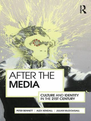
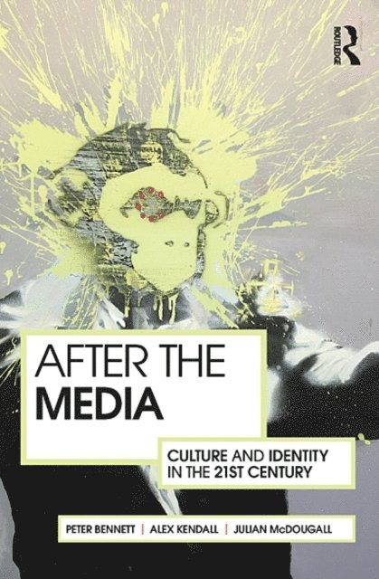
This provocative text considers the state of media and cultural studies today after the demolition of the traditional media paradigm, and engages with the new, active consumer culture.
Media Studies, particularly within schools, has until recently been concerned with mass media and the effects of ‘the media’ in society and on people. As new media technology has blurred the boundaries between the audience and the media, the status of this area of education is threatened. Whilst some have called for a drastic re-think (Media Studies 2.0), others have called for caution, arguing that the power dynamics of ownership and gatekeeping are left intact.
This book uses cultural and technological change as a context for a more forensic exploration of the traditional dependence on the idea of ‘the media’ as one homogenous unit. It suggests that it would be liberating for students, teachers and academics to depart from such a model and shift the focus to people and how they create culture in this contemporary ‘mediascape’.
824 kr
Läs direkt efter köp
This provocative text considers the state of media and cultural studies today after the demolition of the traditional media paradigm, and engages with the new, active consumer culture.
Media Studies, particularly within schools, has until recently been concerned with mass media and the effects of ‘the media’ in society and on people. As new media technology has blurred the boundaries between the audience and the media, the status of this area of education is threatened. Whilst some have called for a drastic re-think (Media Studies 2.0), others have called for caution, arguing that the power dynamics of ownership and gatekeeping are left intact.
This book uses cultural and technological change as a context for a more forensic exploration of the traditional dependence on the idea of ‘the media’ as one homogenous unit. It suggests that it would be liberating for students, teachers and academics to depart from such a model and shift the focus to people and how they create culture in this contemporary ‘mediascape’.
227 kr
Läs direkt efter köp
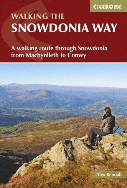
Guidebook to walking the Snowdonia Way through Eryri (Snowdonia) National Park in Wales, from Machynlleth to Conwy, with low and high-level mountain options.
The 97 mile (156km) low-level route is described over 6 stages of between 13 and 21 miles (21–34km) whereas the mountain route covers 122 miles in 9 stages of 12 to 18 miles (19–29km).
Route description illustrated with 1:50,000 OS mapping Crosses the heart of Eryri (Snowdonia) via Dolgellau, Trawsfynydd, Beddgelert, Dolwyddelan, Capel Curig and Bethesda Mountain route takes in Cadair Idris, Yr Wyddfa (Snowdon) and the Glyders The low-level route involves long days but mainly easy walking; the high-level route includes more challenging navigation, considerable ascent and some pathless terrain Since they intersect regularly, it is possible to mix and match between the low and high-level routes Information on facilities and selective accommodation listings Notes on geology, history, plants, wildlife and folklore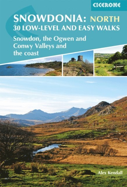
180 kr
Läs direkt efter köp
A guidebook to 30 low-level and easy day walks in the northern part of Eryri (Snowdonia) National Park in Wales. All circular except for Walk 25, which makes use of the railway link between Porthmadog and Blaeneau Ffestiniog, the routes vary in length and terrain ensuring that there is something for walkers of all levels of fitness and experience.
The walks range from 4–22km (2–14 miles) in length and can be enjoyed in 2–7 hours, although most are at the shorter end of the scale. They are arranged geographically into 4 areas: the north coast and the lower Conwy valley, Betws y Coed and Gwydyr forest, Snowdon and the Ogwen valley, and the Vale of Ffestiniog and the west.
1:25,000 or 1:50,000 OS maps for each walk Details given of terrain, refreshments and access for each walk Information given on local history, geology and wildlife GPX files available to download Part of a 2-volume set, an accompanying Cicerone guidebook Snowdonia: Low-level and Easy Walks – South is also available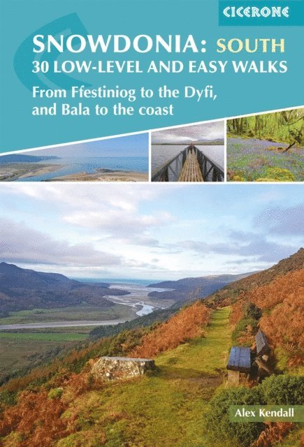
138 kr
Läs direkt efter köp
A guidebook to 30 low-level and easy day walks in the southern part of Eryri (Snowdonia) National Park in Wales. All circular except for Walk 10, which makes use of bus links, the routes vary in length and terrain ensuring that there is something for walkers of all levels of fitness and experience.
The walks range from 3–19km (2–12 miles) in length and can be enjoyed in 1–6 hours. They are arranged geographically into 4 areas: the Rhinogydd, Mawddach Estuary, Bala to Dolgellau, and Cadair Idris to the Dyfi.
1:25,000 or 1:50,000 OS maps for each walk Details given of terrain, facilities and access for each walk Information given on local history, geology and wildlife GPX files available to download Part of a 2-volume set, an accompanying Cicerone guidebook Snowdonia: Low-level and Easy Walks – North is also available

195 kr
Skickas
127 kr
Skickas