
Alexander Zipf – författare
Visar alla böcker från författaren Alexander Zipf. Handla med fri frakt och snabb leverans.
9 produkter
9 produkter
Inbunden, Engelska, 2015
1 084 kr
Skickas inom 10-15 vardagar
This edited volume presents a collection of lessons learned with, and research conducted on, OpenStreetMap, the goal being to promote the project’s integration. The respective chapters address a) state-of-the-art and cutting-edge approaches to data quality analysis in OpenStreetMap, b) investigations on understanding OpenStreetMap contributors and the nature of their contributions, c) identifying patterns of contributions and contributors, d) applications of OpenStreetMap in different domains, e) mining value-added knowledge and information from OpenStreetMap, f) limitations in the analysis OpenStreetMap data, and g) integrating OpenStreetMap with commercial and non-commercial datasets. The book offers an ideal opportunity to present and disseminate a number of cutting-edge developments and applications in the field of geography, spatial statistics, GIS, social science, and cartography.
E-bok
PDF, Engelska, 20151 416 kr
Läs direkt efter köp
This edited volume presents a collection of lessons learned with, and research conducted on, OpenStreetMap, the goal being to promote the project’s integration. The respective chapters address a) state-of-the-art and cutting-edge approaches to data quality analysis in OpenStreetMap, b) investigations on understanding OpenStreetMap contributors and the nature of their contributions, c) identifying patterns of contributions and contributors, d) applications of OpenStreetMap in different domains, e) mining value-added knowledge and information from OpenStreetMap, f) limitations in the analysis OpenStreetMap data, and g) integrating OpenStreetMap with commercial and non-commercial datasets. The book offers an ideal opportunity to present and disseminate a number of cutting-edge developments and applications in the field of geography, spatial statistics, GIS, social science, and cartography.
Häftad, Engelska, 2016
1 084 kr
Skickas inom 10-15 vardagar
This edited volume presents a collection of lessons learned with, and research conducted on, OpenStreetMap, the goal being to promote the project’s integration. The respective chapters address a) state-of-the-art and cutting-edge approaches to data quality analysis in OpenStreetMap, b) investigations on understanding OpenStreetMap contributors and the nature of their contributions, c) identifying patterns of contributions and contributors, d) applications of OpenStreetMap in different domains, e) mining value-added knowledge and information from OpenStreetMap, f) limitations in the analysis OpenStreetMap data, and g) integrating OpenStreetMap with commercial and non-commercial datasets. The book offers an ideal opportunity to present and disseminate a number of cutting-edge developments and applications in the field of geography, spatial statistics, GIS, social science, and cartography.
1 276 kr
Skickas inom 10-15 vardagar
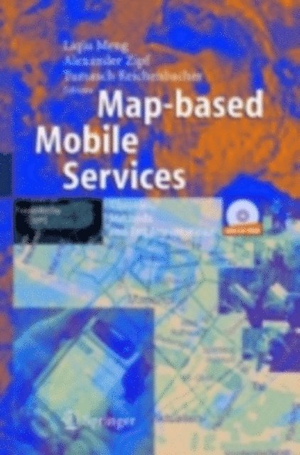
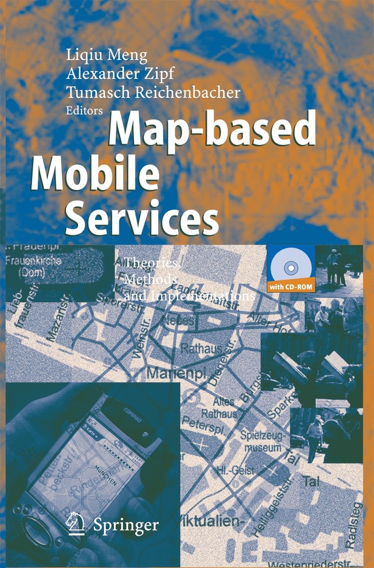
The development of wireless telecommunication and ubiquitous computing te- nologies has led to a growing mobile population and dramatically changed p- terns of working and everyday life. A smooth and safe mobility is only possible when the mobile person is well-informed of the happenings in his ambient en- ronments. Location-sensitive maps have proved a strong enhancement to what a mobile user can directly perceive from his ambient environments. Since ancient times the map has been the favorite communication language of spatial infor- tion. It is even more the case for mobile applications where brand-new maps can be wirelessly retrieved or generated in real-time. The upsurge of map-based s- vices on mobile devices has raised a number of new questions challenging the conventional computer-assisted cartography. Map-based mobile services provides a contemporary overview of research and development issues related to the design and the use of mobility-supporting maps. The book has been written for professional cartographers who are striving for - tending their theoretical, methodological and practical knowledge to mobile m- making, for surveyors and geo-service providers involved in the development of intelligent location-based services, for software developers and cognitive scientists engaged in human-computer interaction, and for students and academics in cart- raphy and geoinformation sciences. The book was initiated by the multidisciplinary workshop “Design of m- based mobile services” within the frame of the conference “Human and Computer 2003 – Interaction on the movement” held in Stuttgart, Germany, September 2003.
E-bok
PDF, Engelska, 20051 367 kr
Läs direkt efter köp
The development of wireless telecommunication and ubiquitous computing te- nologies has led to a growing mobile population and dramatically changed p- terns of working and everyday life. A smooth and safe mobility is only possible when the mobile person is well-informed of the happenings in his ambient en- ronments. Location-sensitive maps have proved a strong enhancement to what a mobile user can directly perceive from his ambient environments. Since ancient times the map has been the favorite communication language of spatial infor- tion. It is even more the case for mobile applications where brand-new maps can be wirelessly retrieved or generated in real-time. The upsurge of map-based s- vices on mobile devices has raised a number of new questions challenging the conventional computer-assisted cartography. Map-based mobile services provides a contemporary overview of research and development issues related to the design and the use of mobility-supporting maps. The book has been written for professional cartographers who are striving for - tending their theoretical, methodological and practical knowledge to mobile m- making, for surveyors and geo-service providers involved in the development of intelligent location-based services, for software developers and cognitive scientists engaged in human-computer interaction, and for students and academics in cart- raphy and geoinformation sciences. The book was initiated by the multidisciplinary workshop “Design of m- based mobile services” within the frame of the conference “Human and Computer 2003 – Interaction on the movement” held in Stuttgart, Germany, September 2003.

Inbunden, Engelska, 2008
1 622 kr
Skickas inom 10-15 vardagar
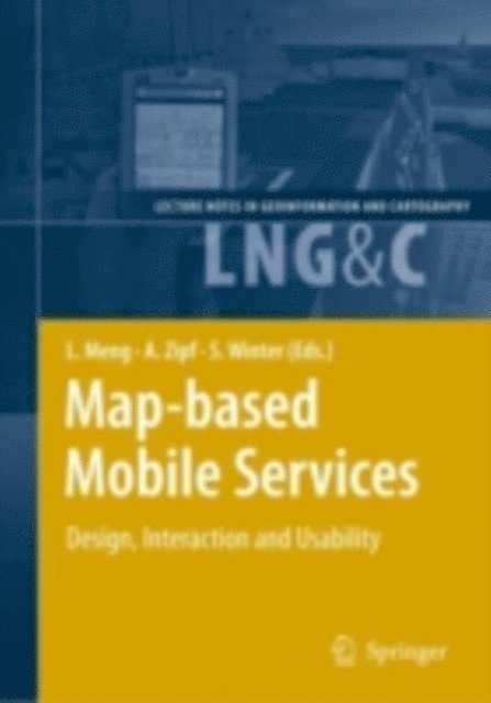
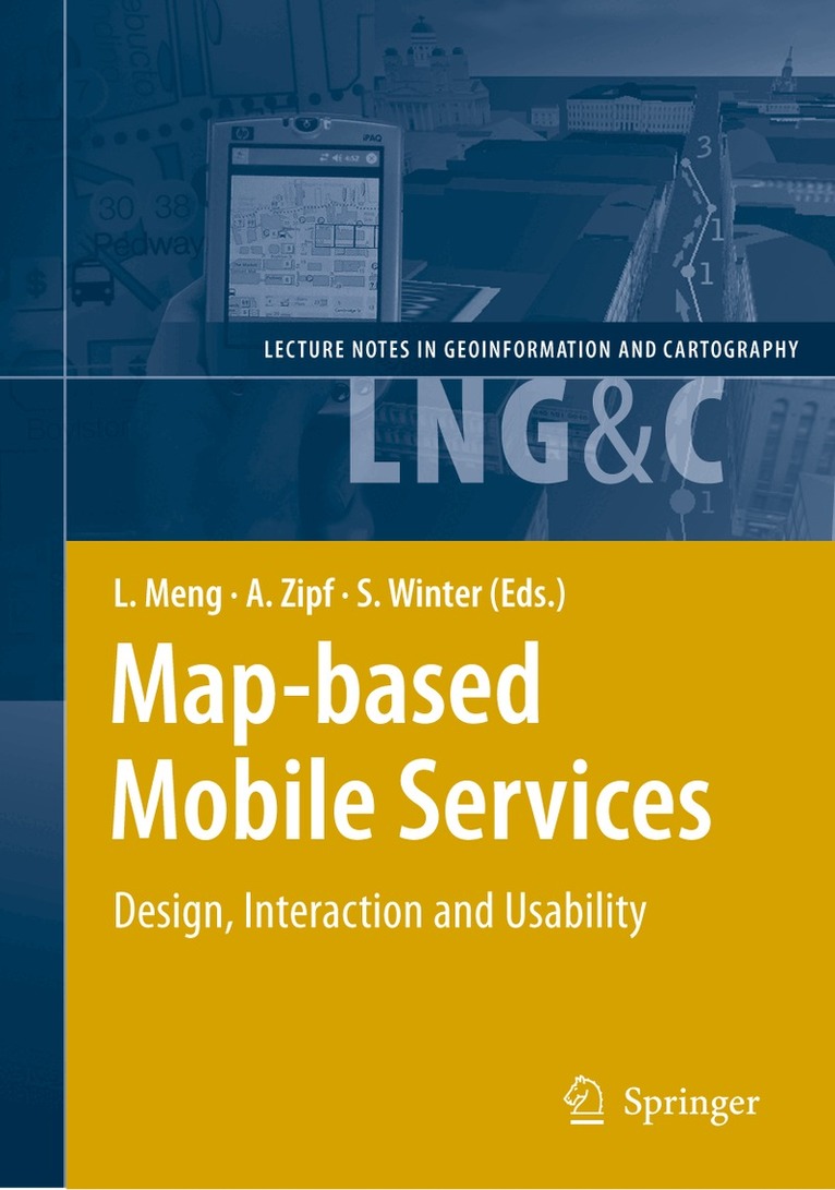
The worldwide popularisation of mobile communication technologies and the incre- ing awareness of usability issues since 1990’s have been urging map designers to s- cialise and extend cartographic semiotics, visualisation styles and map use techniques for mobile contexts and small display devices. As a follow-up to the first book “M- based Mobile Services – Theories, Methods and Implementations” published in 2005, this new one is devoted to design strategies, user interactions and usability issues. It addresses methods and techniques for topics that range from design and rendering, context modelling, personalisation, multimodal interaction to usability test. Instead of striving for a seamless coverage of all essential theoretical and technical issues with an equal depth and extent, we attempt to pinpoint a number of research highlights and representative development activities at universities, research institutions and so- ware industry. The operational prototypes and platforms reported in the book are on the one hand outcome and feasibility proof of various approaches. On the other hand, they serve as a new starting point for the refinement of user interfaces and iterative usability tests. The book is intended not only for cartographers, surveying engineers and g- information scientists engaged in the development of location-based services, but also for software engineers and cognitive scientists working with interface design and - ability assessment. In addition, we try to provide a number of real-life case studies for students, academics and practitioners from GIS, computer graphics and other relevant disciplines.
E-bok
PDF, Engelska, 20082 049 kr
Läs direkt efter köp
The worldwide popularisation of mobile communication technologies and the incre- ing awareness of usability issues since 1990’s have been urging map designers to s- cialise and extend cartographic semiotics, visualisation styles and map use techniques for mobile contexts and small display devices. As a follow-up to the first book “M- based Mobile Services – Theories, Methods and Implementations” published in 2005, this new one is devoted to design strategies, user interactions and usability issues. It addresses methods and techniques for topics that range from design and rendering, context modelling, personalisation, multimodal interaction to usability test. Instead of striving for a seamless coverage of all essential theoretical and technical issues with an equal depth and extent, we attempt to pinpoint a number of research highlights and representative development activities at universities, research institutions and so- ware industry. The operational prototypes and platforms reported in the book are on the one hand outcome and feasibility proof of various approaches. On the other hand, they serve as a new starting point for the refinement of user interfaces and iterative usability tests. The book is intended not only for cartographers, surveying engineers and g- information scientists engaged in the development of location-based services, but also for software engineers and cognitive scientists working with interface design and - ability assessment. In addition, we try to provide a number of real-life case studies for students, academics and practitioners from GIS, computer graphics and other relevant disciplines.
Häftad, Engelska, 2010
1 622 kr
Skickas inom 10-15 vardagar
The worldwide popularisation of mobile communication technologies and the incre- ing awareness of usability issues since 1990’s have been urging map designers to s- cialise and extend cartographic semiotics, visualisation styles and map use techniques for mobile contexts and small display devices. As a follow-up to the first book “M- based Mobile Services – Theories, Methods and Implementations” published in 2005, this new one is devoted to design strategies, user interactions and usability issues. It addresses methods and techniques for topics that range from design and rendering, context modelling, personalisation, multimodal interaction to usability test. Instead of striving for a seamless coverage of all essential theoretical and technical issues with an equal depth and extent, we attempt to pinpoint a number of research highlights and representative development activities at universities, research institutions and so- ware industry. The operational prototypes and platforms reported in the book are on the one hand outcome and feasibility proof of various approaches. On the other hand, they serve as a new starting point for the refinement of user interfaces and iterative usability tests. The book is intended not only for cartographers, surveying engineers and g- information scientists engaged in the development of location-based services, but also for software engineers and cognitive scientists working with interface design and - ability assessment. In addition, we try to provide a number of real-life case studies for students, academics and practitioners from GIS, computer graphics and other relevant disciplines.
Häftad, Engelska, 2014
1 084 kr
Skickas inom 10-15 vardagar
The development of wireless telecommunication and ubiquitous computing te- nologies has led to a growing mobile population and dramatically changed p- terns of working and everyday life. A smooth and safe mobility is only possible when the mobile person is well-informed of the happenings in his ambient en- ronments. Location-sensitive maps have proved a strong enhancement to what a mobile user can directly perceive from his ambient environments. Since ancient times the map has been the favorite communication language of spatial infor- tion. It is even more the case for mobile applications where brand-new maps can be wirelessly retrieved or generated in real-time. The upsurge of map-based s- vices on mobile devices has raised a number of new questions challenging the conventional computer-assisted cartography. Map-based mobile services provides a contemporary overview of research and development issues related to the design and the use of mobility-supporting maps. The book has been written for professional cartographers who are striving for - tending their theoretical, methodological and practical knowledge to mobile m- making, for surveyors and geo-service providers involved in the development of intelligent location-based services, for software developers and cognitive scientists engaged in human-computer interaction, and for students and academics in cart- raphy and geoinformation sciences. The book was initiated by the multidisciplinary workshop “Design of m- based mobile services” within the frame of the conference “Human and Computer 2003 – Interaction on the movement” held in Stuttgart, Germany, September 2003.