
Tumasch Reichenbacher – författare
Visar alla böcker från författaren Tumasch Reichenbacher. Handla med fri frakt och snabb leverans.
5 produkter
5 produkter
1 274 kr
Skickas inom 10-15 vardagar
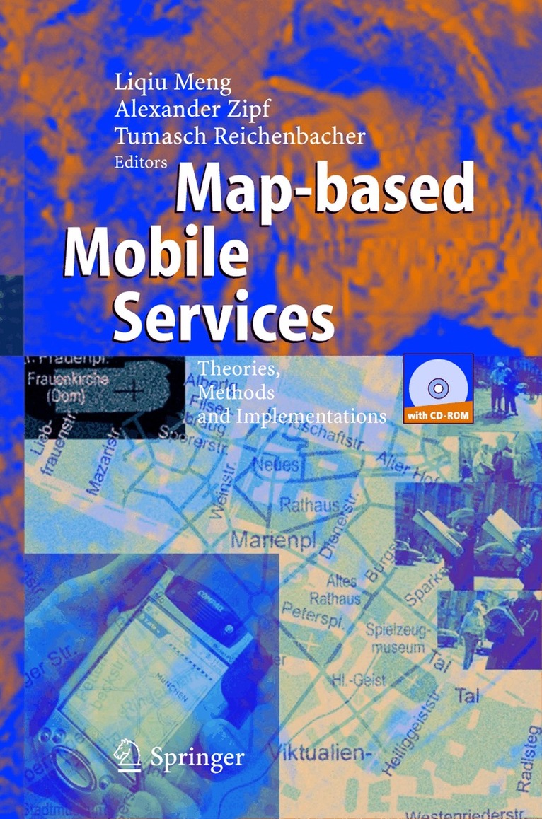
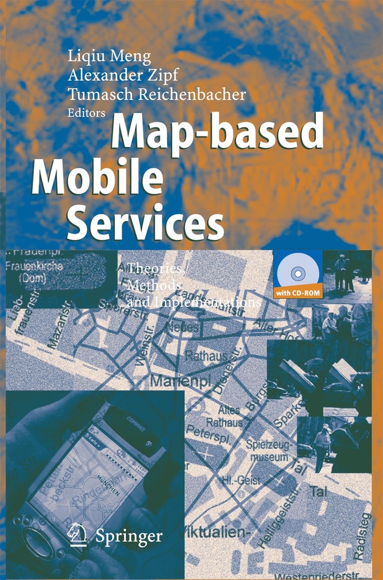
The development of wireless telecommunication and ubiquitous computing te- nologies has led to a growing mobile population and dramatically changed p- terns of working and everyday life. A smooth and safe mobility is only possible when the mobile person is well-informed of the happenings in his ambient en- ronments. Location-sensitive maps have proved a strong enhancement to what a mobile user can directly perceive from his ambient environments. Since ancient times the map has been the favorite communication language of spatial infor- tion. It is even more the case for mobile applications where brand-new maps can be wirelessly retrieved or generated in real-time. The upsurge of map-based s- vices on mobile devices has raised a number of new questions challenging the conventional computer-assisted cartography. Map-based mobile services provides a contemporary overview of research and development issues related to the design and the use of mobility-supporting maps. The book has been written for professional cartographers who are striving for - tending their theoretical, methodological and practical knowledge to mobile m- making, for surveyors and geo-service providers involved in the development of intelligent location-based services, for software developers and cognitive scientists engaged in human-computer interaction, and for students and academics in cart- raphy and geoinformation sciences. The book was initiated by the multidisciplinary workshop “Design of m- based mobile services” within the frame of the conference “Human and Computer 2003 – Interaction on the movement” held in Stuttgart, Germany, September 2003.
E-bok
PDF, Engelska, 20051 416 kr
Läs direkt efter köp
The development of wireless telecommunication and ubiquitous computing te- nologies has led to a growing mobile population and dramatically changed p- terns of working and everyday life. A smooth and safe mobility is only possible when the mobile person is well-informed of the happenings in his ambient en- ronments. Location-sensitive maps have proved a strong enhancement to what a mobile user can directly perceive from his ambient environments. Since ancient times the map has been the favorite communication language of spatial infor- tion. It is even more the case for mobile applications where brand-new maps can be wirelessly retrieved or generated in real-time. The upsurge of map-based s- vices on mobile devices has raised a number of new questions challenging the conventional computer-assisted cartography. Map-based mobile services provides a contemporary overview of research and development issues related to the design and the use of mobility-supporting maps. The book has been written for professional cartographers who are striving for - tending their theoretical, methodological and practical knowledge to mobile m- making, for surveyors and geo-service providers involved in the development of intelligent location-based services, for software developers and cognitive scientists engaged in human-computer interaction, and for students and academics in cart- raphy and geoinformation sciences. The book was initiated by the multidisciplinary workshop “Design of m- based mobile services” within the frame of the conference “Human and Computer 2003 – Interaction on the movement” held in Stuttgart, Germany, September 2003.
Häftad, Engelska, 2010
560 kr
Skickas inom 10-15 vardagar
Since its inception in Savannah, Georgia (USA) in 2000, the highly successful GIScience conferenceseries (www.giscience.org)has regularlyattractedover250 researchers from all over the world whose common interest lies in advancing the research frontiers of fundamental aspects of the production, dissemination, and use of geographic information. The conference is bi-annual and brings together leading researchers from all cognate disciplines re?ecting the interdisciplinary breadth of GIScience, including (but not limited to) geography, cognitive s- ence, computer science, engineering, information science, mathematics, philo- phy, psychology, social science, and (geo)statistics. Following the, literally breathtaking,conference in Park City, Utah (USA) at 2103m, the sixth GIScience 2010 conference returned to Europe for the second time. The 2010 conference was held in Zurich, Switzerland, a place nominated repeatedly as the world’s most livable (if not cheapest!) city. Zurich is also a GIScience landmark, as in 1990 one of the founders of the GIScience conference series, Dr. Michael Goodchild, delivered a memorable talk setting out how f- damental research on GISystems could turn into GIScience at the very same conference location during the Spatial Data Handling Symposium.

E-bok
PDF, Engelska, 2010734 kr
Läs direkt efter köp
Since its inception in Savannah, Georgia (USA) in 2000, the highly successful GIScience conferenceseries (www.giscience.org)has regularlyattractedover250 researchers from all over the world whose common interest lies in advancing the research frontiers of fundamental aspects of the production, dissemination, and use of geographic information. The conference is bi-annual and brings together leading researchers from all cognate disciplines re?ecting the interdisciplinary breadth of GIScience, including (but not limited to) geography, cognitive s- ence, computer science, engineering, information science, mathematics, philo- phy, psychology, social science, and (geo)statistics. Following the, literally breathtaking,conference in Park City, Utah (USA) at 2103m, the sixth GIScience 2010 conference returned to Europe for the second time. The 2010 conference was held in Zurich, Switzerland, a place nominated repeatedly as the world’s most livable (if not cheapest!) city. Zurich is also a GIScience landmark, as in 1990 one of the founders of the GIScience conference series, Dr. Michael Goodchild, delivered a memorable talk setting out how f- damental research on GISystems could turn into GIScience at the very same conference location during the Spatial Data Handling Symposium.
Häftad, Engelska, 2014
1 081 kr
Skickas inom 10-15 vardagar
The development of wireless telecommunication and ubiquitous computing te- nologies has led to a growing mobile population and dramatically changed p- terns of working and everyday life. A smooth and safe mobility is only possible when the mobile person is well-informed of the happenings in his ambient en- ronments. Location-sensitive maps have proved a strong enhancement to what a mobile user can directly perceive from his ambient environments. Since ancient times the map has been the favorite communication language of spatial infor- tion. It is even more the case for mobile applications where brand-new maps can be wirelessly retrieved or generated in real-time. The upsurge of map-based s- vices on mobile devices has raised a number of new questions challenging the conventional computer-assisted cartography. Map-based mobile services provides a contemporary overview of research and development issues related to the design and the use of mobility-supporting maps. The book has been written for professional cartographers who are striving for - tending their theoretical, methodological and practical knowledge to mobile m- making, for surveyors and geo-service providers involved in the development of intelligent location-based services, for software developers and cognitive scientists engaged in human-computer interaction, and for students and academics in cart- raphy and geoinformation sciences. The book was initiated by the multidisciplinary workshop “Design of m- based mobile services” within the frame of the conference “Human and Computer 2003 – Interaction on the movement” held in Stuttgart, Germany, September 2003.