
Alfred Powell – författare
Visar alla böcker från författaren . Handla med fri frakt och snabb leverans.
6 produkter
6 produkter
Inbunden, Engelska, 2010
2 215 kr
Skickas inom 10-15 vardagar
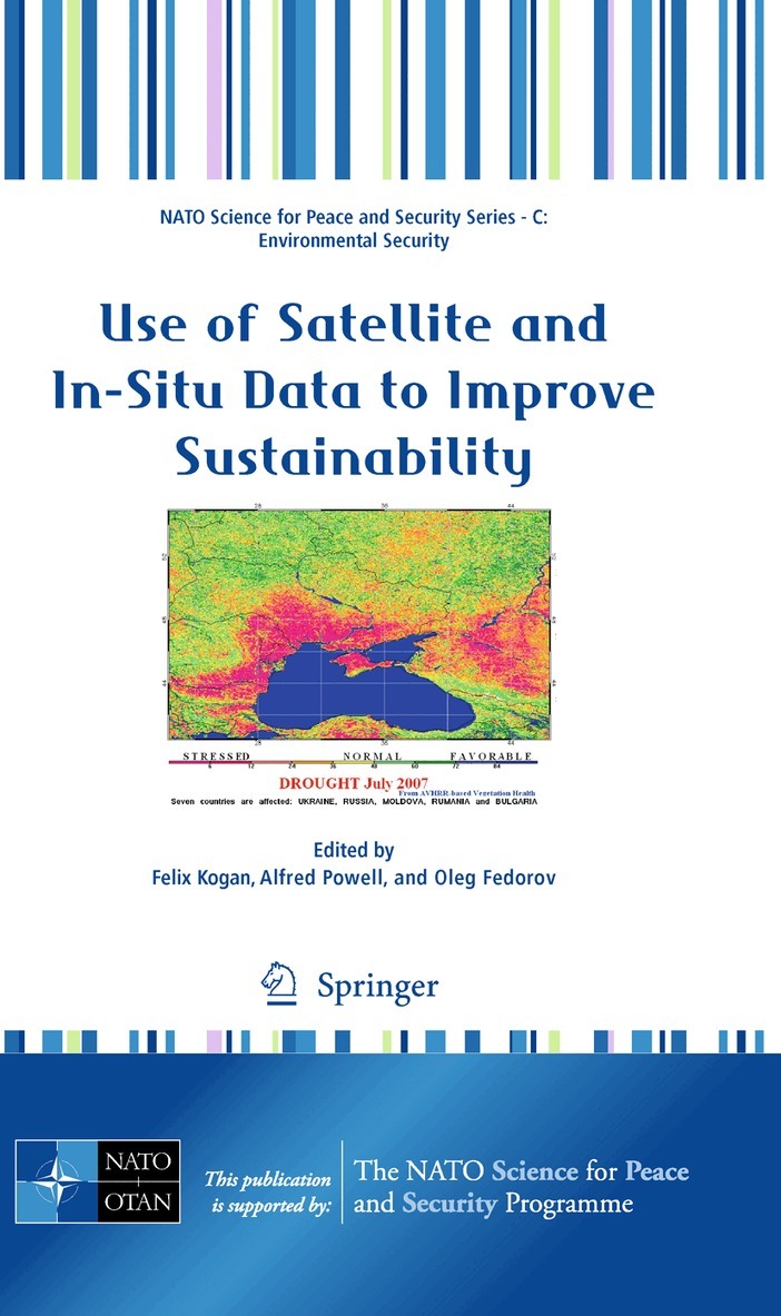
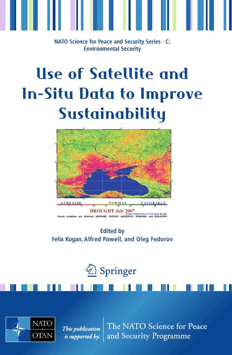
More than 30-year operational satellite data have already been used for monitoring land, ocean and atmosphere. These applications have contributed to improve sustainable economy, produce healthy environment and enhance human life. The Advanced Research Workshop sponsored by NATO and organized by the USA’s National Oceanic and Atmospheric Administration and Ukrainian’s Space Agency bring the scientists with the most mature research designed for practical use. The goals were to select those which is used for services today and identify the areas to expand research and services. Scientific and application results of the Workshop presented in this book can be used today in agriculture, forestry, water resources, healthy coastal life and fisheries, climate and land cover change, anthropogenic activities and others. The presented papers provide information on how to use operational satellites and in situ measurements for early detection of large-scale droughts, floods and fires, diagnose crop and pasture annual losses, predict periods with health/unhealthy vegetation based on such climate forcing events as ENSO, monitor air quality and geomagnetic activities, assess land cover trends in responce to global warming etc. The available satellite/ground information and method is currently warn with a lead time sufficient to respond, recover and protect.
E-bok
PDF, Engelska, 20112 925 kr
Läs direkt efter köp
More than 30-year operational satellite data have already been used for monitoring land, ocean and atmosphere. These applications have contributed to improve sustainable economy, produce healthy environment and enhance human life. The Advanced Research Workshop sponsored by NATO and organized by the USA’s National Oceanic and Atmospheric Administration and Ukrainian’s Space Agency bring the scientists with the most mature research designed for practical use. The goals were to select those which is used for services today and identify the areas to expand research and services. Scientific and application results of the Workshop presented in this book can be used today in agriculture, forestry, water resources, healthy coastal life and fisheries, climate and land cover change, anthropogenic activities and others. The presented papers provide information on how to use operational satellites and in situ measurements for early detection of large-scale droughts, floods and fires, diagnose crop and pasture annual losses, predict periods with health/unhealthy vegetation based on such climate forcing events as ENSO, monitor air quality and geomagnetic activities, assess land cover trends in responce to global warming etc. The available satellite/ground information and method is currently warn with a lead time sufficient to respond, recover and protect.
Häftad, Engelska, 2010
2 215 kr
Skickas inom 10-15 vardagar
More than 30-year operational satellite data have already been used for monitoring land, ocean and atmosphere. These applications have contributed to improve sustainable economy, produce healthy environment and enhance human life. The Advanced Research Workshop sponsored by NATO and organized by the USA’s National Oceanic and Atmospheric Administration and Ukrainian’s Space Agency bring the scientists with the most mature research designed for practical use. The goals were to select those which is used for services today and identify the areas to expand research and services. Scientific and application results of the Workshop presented in this book can be used today in agriculture, forestry, water resources, healthy coastal life and fisheries, climate and land cover change, anthropogenic activities and others. The presented papers provide information on how to use operational satellites and in situ measurements for early detection of large-scale droughts, floods and fires, diagnose crop and pasture annual losses, predict periods with health/unhealthy vegetation based on such climate forcing events as ENSO, monitor air quality and geomagnetic activities, assess land cover trends in responce to global warming etc. The available satellite/ground information and method is currently warn with a lead time sufficient to respond, recover and protect.
Inbunden, Engelska, 2013
1 937 kr
Skickas inom 10-15 vardagar
Climate and other environmental changes are drawing unprecedented concern and attention from national governments, international organizations and local communities. Global warming has left noticeable impacts on the environment and the ecosystems it supports (including humans), and has important implications for sustainable economic and social development in the future. Satellite observations of climate and environmental change have become an increasingly important tool in recent years in helping to shape the response of international communities to this critical global challenge. The book presents the latest advances in satellite-based remote sensing of the Earth’s environment - ranging from applications in climate and atmospheric science to hydrology, oceanography, hydrology, geomorphology, ecology and fire studies. Introductory chapters also cover key technical aspects such as instrumentation, calibration, data analysis, and GIS tools for decision-making.
E-bok
PDF, Engelska, 20132 524 kr
Läs direkt efter köp
Climate and other environmental changes are drawing unprecedented concern and attention from national governments, international organizations and local communities. Global warming has left noticeable impacts on the environment and the ecosystems it supports (including humans), and has important implications for sustainable economic and social development in the future. Satellite observations of climate and environmental change have become an increasingly important tool in recent years in helping to shape the response of international communities to this critical global challenge. The book presents the latest advances in satellite-based remote sensing of the Earth’s environment - ranging from applications in climate and atmospheric science to hydrology, oceanography, hydrology, geomorphology, ecology and fire studies. Introductory chapters also cover key technical aspects such as instrumentation, calibration, data analysis, and GIS tools for decision-making.

Häftad, Engelska, 2015
1 937 kr
Skickas inom 10-15 vardagar
Climate and other environmental changes are drawing unprecedented concern and attention from national governments, international organizations and local communities. Global warming has left noticeable impacts on the environment and the ecosystems it supports (including humans), and has important implications for sustainable economic and social development in the future. Satellite observations of climate and environmental change have become an increasingly important tool in recent years in helping to shape the response of international communities to this critical global challenge. The book presents the latest advances in satellite-based remote sensing of the Earth’s environment - ranging from applications in climate and atmospheric science to hydrology, oceanography, hydrology, geomorphology, ecology and fire studies. Introductory chapters also cover key technical aspects such as instrumentation, calibration, data analysis, and GIS tools for decision-making.