
Chris Rizos – författare
1 341 kr
Skickas inom 10-15 vardagar

1 597 kr
Läs direkt efter köp
3 869 kr
Skickas inom 5-8 vardagar

2 862 kr
Skickas inom 5-8 vardagar
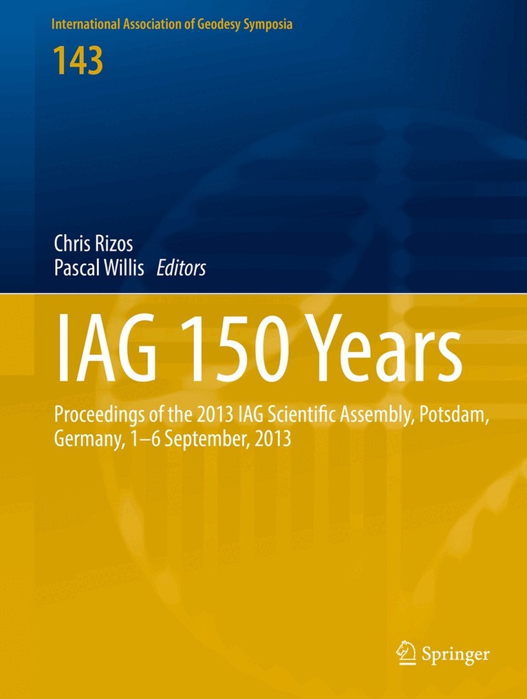
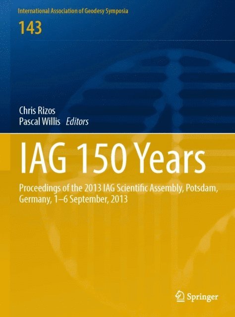
IAG 150 Years
Proceedings of the 2013 IAG Scientific Assembly, Postdam,Germany, 1–6 September, 2013
2 152 kr
Skickas inom 10-15 vardagar
2 840 kr
Läs direkt efter köp
This proceedings contains a selection of peer-reviewed papers presented at the IAG Scientific Assembly, Postdam, Germany, 1-6 September, 2013. The scientific sessions were focussed on the definition, implementation and scientific applications of reference frames; gravity field determination and applications; the observation and assessment of earth hazards. It presents a collection of the contributions on the applications of earth rotations dynamics, on observation systems and services as well as on imaging and positioning techniques and its applications.

687 kr
Läs direkt efter köp
Dynamic Planet
Monitoring and Understanding a Dynamic Planet with Geodetic and Oceanographic Tools
2 152 kr
Skickas inom 10-15 vardagar
2 741 kr
Läs direkt efter köp
Developments in Four-Dimensional Geodesy
Selected papers of the Ron S. Mather Symposium on Four- Dimensional Geodesy, Sydney, Australia, March 28-31, 1989
543 kr
Skickas inom 10-15 vardagar
Earth on the Edge: Science for a Sustainable Planet
Proceedings of the IAG General Assembly, Melbourne, Australia, June 28 - July 2, 2011
3 224 kr
Skickas inom 10-15 vardagar
3 157 kr
Läs direkt efter köp
Dynamic Planet
Monitoring and Understanding a Dynamic Planet with Geodetic and Oceanographic Tools
2 152 kr
Skickas inom 10-15 vardagar
2 515 kr
Tillfälligt slut
1 594 kr
Läs direkt efter köp
3 179 kr
Tillfälligt slut