
Danny Dorling – författare
146 kr
Skickas

166 kr
Läs direkt efter köp

171 kr
Skickas
29 kr
Läs direkt efter köp
150 kr
Skickas inom 5-8 vardagar

361 kr
Skickas inom 5-8 vardagar
755 kr
Skickas inom 5-8 vardagar
265 kr
Skickas inom 5-8 vardagar
338 kr
Läs direkt efter köp
Demography is not destiny. As Giacomo Casanova explained over two centuries ago: ''There is no such thing as destiny. We ourselves shape our own lives.''
Today we are shaping them and our societies more than ever before. Globally, we have never had fewer children per adult: our population is about to stabilize, though we do not know when or at what number, or what will happen after that. It will be the result of billions of very private decisions influenced in turn by multiple events and policies, some more unpredictable than others. More people are moving further around the world than ever before: we too often see that as frightening, rather than as indicating greater freedom. Similarly, we too often lament greater ageing, rather than recognizing it as a tremendous human achievement with numerous benefits to which we must adapt.
Demography comes to the fore most positively when we see that we have choices, when we understand variation and when we are not deterministic in our prescriptions. The study of demography has for too long been dominated by pessimism and inhuman, simplistic accounting. As this fascinating and persuasive overview demonstrates, how we understand our demography needs to change again.

727 kr
Läs direkt efter köp
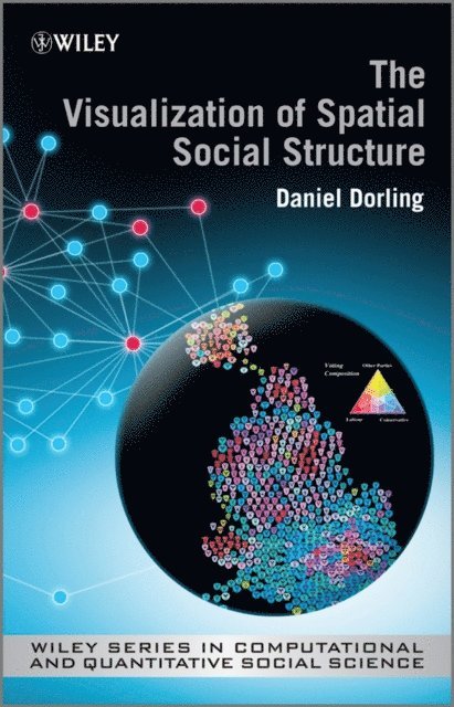
The visualization of spatial social structure means, literally, making visible the geographical patterns to the way our lives have come to be socially organised, seeing the geography in society. To a statistical readership visualization implies using data. More widely defined it implies freeing our imaginations.
The Visualization of Spatial Social Structure introduces the reader to new ways of thinking about how to look at social statistics, particularly those about people in places. The author presents a unique combination of statistical focus and understanding of social structures and innovations in visualization, describing the rationale for, and development of, a new way of visualizing information in geographical research. These methods are illustrated through extensive full colour graphics; revealing mistakes, techniques and discoveries which present a picture of a changing political and social geography. More complex aspects on the surface of social landscapes are revealed with sculptured symbols allowing us to see the relationships between the wood and the trees of social structure. Today''s software can be so flexible that these techniques can now be emulated without coding.
This book centres on a particular place and time; 1980s Britain, and a particular set of records; routine social statistics. A great deal of information about the 80s'' social geography of Britain is contained within databases such as the population censuses, surveys and administrative data. Following the release of the 2011 census, now is a good time to look back at the past to introduce many new visualization techniques that could be used by future researchers.
727 kr
Läs direkt efter köp
The visualization of spatial social structure means, literally, making visible the geographical patterns to the way our lives have come to be socially organised, seeing the geography in society. To a statistical readership visualization implies using data. More widely defined it implies freeing our imaginations.
The Visualization of Spatial Social Structure introduces the reader to new ways of thinking about how to look at social statistics, particularly those about people in places. The author presents a unique combination of statistical focus and understanding of social structures and innovations in visualization, describing the rationale for, and development of, a new way of visualizing information in geographical research. These methods are illustrated through extensive full colour graphics; revealing mistakes, techniques and discoveries which present a picture of a changing political and social geography. More complex aspects on the surface of social landscapes are revealed with sculptured symbols allowing us to see the relationships between the wood and the trees of social structure. Today''s software can be so flexible that these techniques can now be emulated without coding.
This book centres on a particular place and time; 1980s Britain, and a particular set of records; routine social statistics. A great deal of information about the 80s'' social geography of Britain is contained within databases such as the population censuses, surveys and administrative data. Following the release of the 2011 census, now is a good time to look back at the past to introduce many new visualization techniques that could be used by future researchers.
Visualization of Spatial Social Structure
629 kr
Skickas inom 11-20 vardagar

1 666 kr
Skickas inom 3-6 vardagar
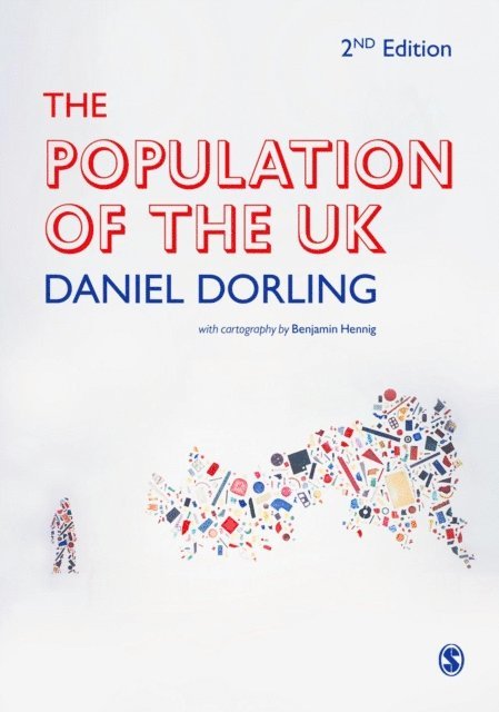
The Population of the UK explains how geography - in the widest sense - makes a difference to life outcomes. It explains the geographical differences in key socio-economic variables - like education, health, and work - that illustrate the UK's stark social inequalities and affect everyone's lives.
Written for undergraduate students across social science disciplines, this unique text presents a social geography of the UK which:
Contains over 100 maps. These are drawn in proportion to the numbers of people being depicted and so represent the human geography of the UK in a fair way.Visualises quantitative evidence. The very latest statistics from numerous sources - including the 2010 election - reveal the many aspects of the underlying geographical structure of society in the UK.Relates geographies of identity to geographies of inequality, mortality, work, and settlement, and in a final chapter shows how the UK's population fits in to the world picture of who has most of what, and where.
Using the most advanced cartographic techniques of social mapping employed anywhere in the world, The Population of the UK explains the nuts and bolts of UK population in comparative context.
A note on data: Much of the data comes from 2010 and 2011. However, because as yet only the age and sex data from the 2011 census has been released the book shows 2001 patterns where only census data can reveal it. As 2011 census data is released, Danny plans to update the maps on-line.
611 kr
Läs direkt efter köp
The Population of the UK explains how geography - in the widest sense - makes a difference to life outcomes. It explains the geographical differences in key socio-economic variables - like education, health, and work - that illustrate the UK′s stark social inequalities and affect everyone′s lives.
Written for undergraduate students across social science disciplines, this unique text presents a social geography of the UK which:
Contains over 100 maps. These are drawn in proportion to the numbers of people being depicted and so represent the human geography of the UK in a fair way. Visualises quantitative evidence. The very latest statistics from numerous sources - including the 2010 election - reveal the many aspects of the underlying geographical structure of society in the UK. Relates geographies of identity to geographies of inequality, mortality, work, and settlement, and in a final chapter shows how the UK′s population fits in to the world picture of who has most of what, and where.
Using the most advanced cartographic techniques of social mapping employed anywhere in the world, The Population of the UK explains the nuts and bolts of UK population in comparative context.
A note on data: Much of the data comes from 2010 and 2011. However, because as yet only the age and sex data from the 2011 census has been released the book shows 2001 patterns where only census data can reveal it. As 2011 census data is released, Danny plans to update the maps on-line.

456 kr
Skickas inom 5-8 vardagar

1 230 kr
Skickas inom 5-8 vardagar

64 kr
Läs direkt efter köp
64 kr
Läs direkt efter köp
66 kr
Läs direkt efter köp

1 230 kr
Skickas inom 5-8 vardagar
360 kr
Skickas inom 5-8 vardagar
1 095 kr
Skickas inom 5-8 vardagar

333 kr
Skickas inom 5-8 vardagar

187 kr
Skickas

190 kr
Läs direkt efter köp

190 kr
Läs direkt efter köp
In the five years since the first edition of Injustice there have been devastating increases in poverty, hunger and destitution in the UK. Globally, the richest 1% have never held a greater share of world wealth, while the share of most of the other 99% has fallen in the last five years, with more and more people in debt, especially the young. Economic inequalities will persist and continue to grow for as long as we tolerate the injustices which underpin them.
This fully rewritten and updated edition revisits Dorling’s claim that Beveridge’s five social evils are being replaced by five new tenets of injustice: elitism is efficient; exclusion is necessary; prejudice is natural; greed is good and despair is inevitable. By showing these beliefs are unfounded, Dorling offers hope of a more equal society.
We are living in the most remarkable and dangerous times. With every year that passes it is more evident that Injustice is essential reading for anyone concerned with social justice and wants to do something about it.
375 kr
Läs direkt efter köp

174 kr
Skickas

1 345 kr
Läs direkt efter köp
206 kr
Läs direkt efter köp
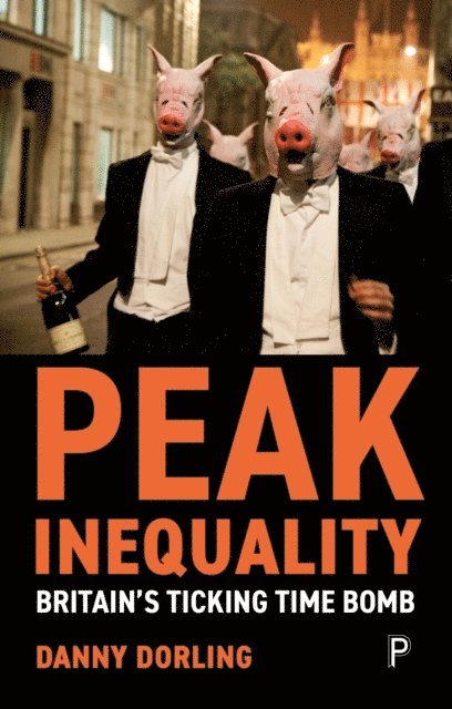
Inequality is the key political issue of our time. Danny Dorling wrote his seminal work Injustice: Why social inequality persists in 2010, and as an early proponent of rapidly reducing economic inequalities, he is now much sought-after as one of the foremost contributors to the debates surrounding it.
Here Dorling brings together brand new material alongside a carefully curated selection of his most recent writing on inequality from publications as wide ranging as the Daily Telegraph, the Guardian, New Statesman, Financial Times and the China People’s Daily.
Covering key inequality issues including politics, housing, education and health, he explores whether we have now reached ‘peak inequality’. He concludes, crucially, by predicting what the future holds for Britain, as attempts are made to defuse the ticking time bomb while we simultaneously try to negotiate Brexit and react to the wider international situation of a world of people demanding to become more equal.