
David L. Verbyla – författare
Visar alla böcker från författaren . Handla med fri frakt och snabb leverans.
10 produkter
10 produkter
E-bok
Engelska, 20061 157 kr
Läs direkt efter köp
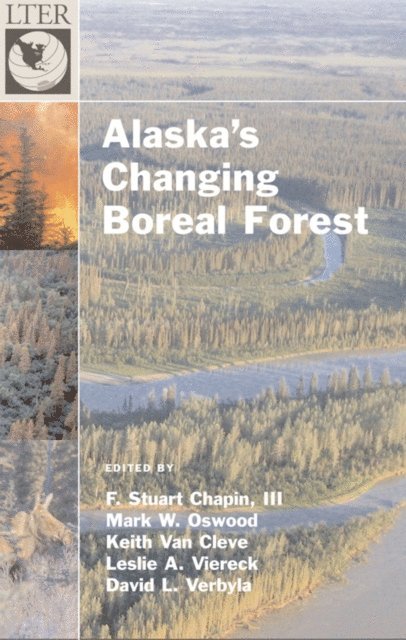
The boreal forest is the northern-most woodland biome, whose natural history is rooted in the influence of low temperature and high-latitude. Alaska''s boreal forest is now warming as rapidly as the rest of Earth, providing an unprecedented look at how this cold-adapted, fire-prone forest adjusts to change. This volume synthesizes current understanding of the ecology of Alaska''s boreal forests and describes their unique features in the context of circumpolar and global patterns. It tells how fire and climate contributed to the biome''s current dynamics. As climate warms and permafrost (permanently frozen ground) thaws, the boreal forest may be on the cusp of a major change in state. The editors have gathered a remarkable set of contributors to discuss this swift environmental and biotic transformation. Their chapters cover the properties of the forest, the changes it is undergoing, and the challenges these alterations present to boreal forest managers. In the first section, the reader can absorb the geographic and historical context for understanding the boreal forest. The book then delves into the dynamics of plant and animal communities inhabiting this forest, and the biogeochemical processes that link these organisms. In the last section the authors explore landscape phenomena that operate at larger temporal and spatial scales and integrates the processes described in earlier sections. Much of the research on which this book is based results from the Bonanza Creek Long-Term Ecological Research Program. Here is a synthesis of the substantial literature on Alaska''s boreal forest that should be accessible to professional ecologists, students, and the interested public.
Inbunden, Engelska, 2006
1 350 kr
Skickas inom 5-8 vardagar
The boreal forest is the northern-most woodland biome, whose natural history is rooted in the influence of low temperature and high-latitude. Alaska's boreal forest is now warming as rapidly as the rest of Earth, providing an unprecedented look at how this cold-adapted, fire-prone forest adjusts to change. This volume synthesizes current understanding of the ecology of Alaska's boreal forests and describes their unique features in the context of circumpolar and global patterns. It tells how fire and climate contributed to the biome's current dynamics. As climate warms and permafrost (permanently frozen ground) thaws, the boreal forest may be on the cusp of a major change in state. The editors have gathered a remarkable set of contributors to discuss this swift environmental and biotic transformation. Their chapters cover the properties of the forest, the changes it is undergoing, and the challenges these alterations present to boreal forest managers. In the first section, the reader can absorb the geographic and historical context for understanding the boreal forest. The book then delves into the dynamics of plant and animal communities inhabiting this forest, and the biogeochemical processes that link these organisms. In the last section the authors explore landscape phenomena that operate at larger temporal and spatial scales and integrates the processes described in earlier sections. Much of the research on which this book is based results from the Bonanza Creek Long-Term Ecological Research Program. Here is a synthesis of the substantial literature on Alaska's boreal forest that should be accessible to professional ecologists, students, and the interested public.
E-bok
PDF, Engelska, 20061 157 kr
Läs direkt efter köp
The boreal forest is the northern-most woodland biome, whose natural history is rooted in the influence of low temperature and high-latitude. Alaska''s boreal forest is now warming as rapidly as the rest of Earth, providing an unprecedented look at how this cold-adapted, fire-prone forest adjusts to change. This volume synthesizes current understanding of the ecology of Alaska''s boreal forests and describes their unique features in the context of circumpolar and global patterns. It tells how fire and climate contributed to the biome''s current dynamics. As climate warms and permafrost (permanently frozen ground) thaws, the boreal forest may be on the cusp of a major change in state. The editors have gathered a remarkable set of contributors to discuss this swift environmental and biotic transformation. Their chapters cover the properties of the forest, the changes it is undergoing, and the challenges these alterations present to boreal forest managers. In the first section, the reader can absorb the geographic and historical context for understanding the boreal forest. The book then delves into the dynamics of plant and animal communities inhabiting this forest, and the biogeochemical processes that link these organisms. In the last section the authors explore landscape phenomena that operate at larger temporal and spatial scales and integrates the processes described in earlier sections. Much of the research on which this book is based results from the Bonanza Creek Long-Term Ecological Research Program. Here is a synthesis of the substantial literature on Alaska''s boreal forest that should be accessible to professional ecologists, students, and the interested public.
Häftad, Engelska, 2019
992 kr
Skickas inom 10-15 vardagar
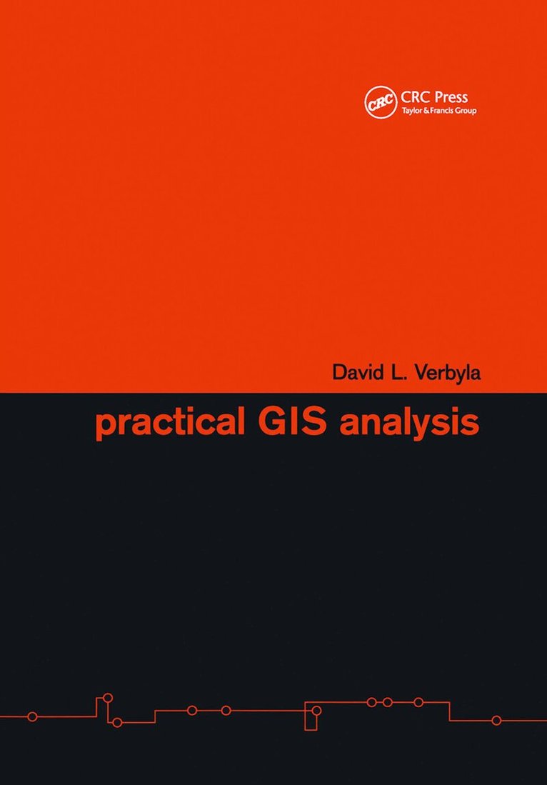
The hard part of problem solving using GIS analysis is the selection of the proper tools. The only practical guide for solving geo-spatial problems independent of specific GIS software and hardware, Practical GIS Analysis will teach you how GIS tools work, and how you can use them to solve problems in both vector and grid GIS worlds. The book includes real-life applications from urban problems including real estate query, irrigation analysis, urban emergency response, address geocoding, street management, resource allocation, groundwater analysis, auto accident analysis, parcel analysis, and optimal path analysis. You can test your problem-solving abilities by trying the more than eighty GIS problems (and solutions) presented in this book. If you want to learn how GIS works, and what kinds of problems you can solve using it, this book is for you.
Inbunden, Engelska, 2002
2 062 kr
Skickas inom 5-8 vardagar
The hard part of problem solving using GIS analysis is the selection of the proper tools. The only practical guide for solving geo-spatial problems independent of specific GIS software and hardware, Practical GIS Analysis will teach you how GIS tools work, and how you can use them to solve problems in both vector and grid GIS worlds. The book includes real-life applications from urban problems including real estate query, irrigation analysis, urban emergency response, address geocoding, street management, resource allocation, groundwater analysis, auto accident analysis, parcel analysis, and optimal path analysis. You can test your problem-solving abilities by trying the more than eighty GIS problems (and solutions) presented in this book. If you want to learn how GIS works, and what kinds of problems you can solve using it, this book is for you.

E-bok
Engelska, 20223 110 kr
Läs direkt efter köp
Satellite Remote Sensing of Natural Resources offers an introduction to digital remote sensing. This comprehensive text emphasizes the basics, with simple concepts presented in clear, easy-to-understand language. For those who are interested in practical remote sensing but do not have an extensive background in math and statistics, this primer is invaluable. The main topics covered include satellite images, image processing systems, spectral regions, radiometric and geometric corrections, supervised and unsupervised classification, and accuracy assessment. Each chapter concludes with a section of sample problems and list of additional readings.
E-bok
PDF, Engelska, 20223 110 kr
Läs direkt efter köp
Satellite Remote Sensing of Natural Resources offers an introduction to digital remote sensing. This comprehensive text emphasizes the basics, with simple concepts presented in clear, easy-to-understand language. For those who are interested in practical remote sensing but do not have an extensive background in math and statistics, this primer is invaluable. The main topics covered include satellite images, image processing systems, spectral regions, radiometric and geometric corrections, supervised and unsupervised classification, and accuracy assessment. Each chapter concludes with a section of sample problems and list of additional readings.
E-bok
Engelska, 20021 177 kr
Läs direkt efter köp
The hard part of problem solving using GIS analysis is the selection of the proper tools. The only practical guide for solving geo-spatial problems independent of specific GIS software and hardware, Practical GIS Analysis will teach you how GIS tools work, and how you can use them to solve problems in both vector and grid GIS worlds. The book inclu

E-bok
PDF, Engelska, 20021 177 kr
Läs direkt efter köp
The hard part of problem solving using GIS analysis is the selection of the proper tools. The only practical guide for solving geo-spatial problems independent of specific GIS software and hardware, Practical GIS Analysis will teach you how GIS tools work, and how you can use them to solve problems in both vector and grid GIS worlds. The book inclu
Inbunden, Engelska, 1995
1 828 kr
Tillfälligt slut
Satellite Remote Sensing of Natural Resources offers an introduction to digital remote sensing. This comprehensive text emphasizes the basics, with simple concepts presented in clear, easy-to-understand language. For those who are interested in practical remote sensing but do not have an extensive background in math and statistics, this primer is invaluable. The main topics covered include satellite images, image processing systems, spectral regions, radiometric and geometric corrections, supervised and unsupervised classification, and accuracy assessment. Each chapter concludes with a section of sample problems and list of additional readings.