
Denis Cosgrove – författare
Visar alla böcker från författaren . Handla med fri frakt och snabb leverans.
12 produkter
12 produkter
Del 9 - Cambridge Studies in Historical Geography
The Iconography of Landscape
Essays on the Symbolic Representation, Design and Use of Past Environments
Häftad, Engelska, 1989
589 kr
Skickas inom 7-10 vardagar
The Iconography of Landscape, first published in 1988, draws together fourteen scholars from diverse disciplines across the humanities and social sciences to explicate the status of landscape as a cultural image, 'a pictorial way of representing, structuring or symbolising surroundings'. By applying the art-historical method of iconography - interpreting levels of meaning in human artifacts - to landscapes on paper or canvas, in literary form or on its ground, its contributors show how landscape is an important mode of human signification, informed by, and itself informing, social, cultural and political issues. The range of examples is wide in terms of medium, period and place. It covers poetry and promotional literature, architectural design and urban ceremonial, maps and paintings. The historical periods discussed include sixteenth-century Italy, eighteenth-century England, eighteenth- and nineteenth-century Scotland and twentieth-century Canada. The book is introduced by the editors' discussion of the meanings of landscape and of the iconographic method in the context of contemporary theoretical and methodological debates on culture and society.
Häftad, Engelska, 2003
401 kr
Skickas inom 5-8 vardagar
"Earthbound humans are unable to embrace more than a tiny part of the planetary surface. But in their imagination they can grasp the whole of the earth, as a surface or a solid body, to locate it within infinities of space and to communicate and share images of it."-from the Preface Long before we had the ability to photograph the earth from space-to see our planet as it would be seen by the Greek god Apollo-images of the earth as a globe had captured popular imagination. In Apollo's Eye, geographer Denis Cosgrove examines the historical implications for the West of conceiving and representing the earth as a globe: a unified, spherical body. Cosgrove traces how ideas of globalism and globalization have shifted historically in relation to changing images of the earth, from antiquity to the Space Age. He connects the evolving image of a unified globe to politically powerful conceptions of human unity.
E-bok
PDF, Engelska, 2012636 kr
Läs direkt efter köp
Leading geographer Denis Cosgrove provides a series of personal reflections on the complex connections between seeing, imagining and representing the world geographically. In a series of eloquent essays he draws upon pictorial images - including maps, sketches, cartoons, paintings, and photographs - to explore and elaborate upon the many and varied ways in which the vast and varied earth, and at times the heavens beyond, have been both imagined and represented as a place of human habitation. The essays include reflections upon geographical discovery; urban cartography and utopian visions; ideas of landscape and the shaping of America; wilderness and masculinity; conceptions of the Pacific; and the imaginative grip of the Equator. Extensively illustrated, this engaging work reveals the richness of the geographical imagination as expressed over the past five centuries.
E-bok
PDF, Engelska, 20082 118 kr
Läs direkt efter köp
High mountains, polar expanses, volcanic peaks are exciting and special environments. 13 leading international geographers explore different aspects of these environments - disorientation, exploration, native knowledge, polar research. This is the first book to do this.High places - be they mountain peaks or the vast expanses of the polar latitudes - have always captured the human imagination. Inaccessible, extreme, they are commonly invested with awe and reverence, as places of physical challenge, intense experience. Increasingly, they are also treated as unique locations for science."High Places" explores the fascinating geographies of these special environments, revealing how senses are challenged, objectivities exposed, cultural assumptions laid bare. Whether walking the summit of Pico de Orizaba, the fourth highest volcano in the northern hemisphere; recounting the tale of the American explorer Charles Wilkes, charged with 'immoral mapping' in Antarctica; or exploring the 200,000 year old Greenland ice core; the international contributors reveal the richness and significance of these unique locations.Embracing Europe, Asia, North and Central America, Antarctica and the Arctic, "High Places" will interest geographers, historians of science, and those interested in polar/mountain studies, landscape, culture and environment.

E-bok
Engelska, 2012636 kr
Läs direkt efter köp
Leading geographer Denis Cosgrove provides a series of personal reflections on the complex connections between seeing, imagining and representing the world geographically. In a series of eloquent essays he draws upon pictorial images - including maps, sketches, cartoons, paintings, and photographs - to explore and elaborate upon the many and varied ways in which the vast and varied earth, and at times the heavens beyond, have been both imagined and represented as a place of human habitation. The essays include reflections upon geographical discovery; urban cartography and utopian visions; ideas of landscape and the shaping of America; wilderness and masculinity; conceptions of the Pacific; and the imaginative grip of the Equator. Extensively illustrated, this engaging work reveals the richness of the geographical imagination as expressed over the past five centuries.
Häftad, Engelska, 2021
139 kr
Skickas inom 5-8 vardagar
E-bok
Engelska, 2021126 kr
Läs direkt efter köp
Learn how to achieve top yields to maximize profits. This 2011 edition offers the latest information and strategies for alfalfa establishment, production, and harvest. Includes many color photos and charts.
Inbunden, Engelska, 2008
1 948 kr
Skickas inom 10-15 vardagar
High mountains, polar expanses, volcanic peaks are exciting and special environments. 13 leading international geographers explore different aspects of these environments - disorientation, exploration, native knowledge, polar research. This is the first book to do this.High places - be they mountain peaks or the vast expanses of the polar latitudes - have always captured the human imagination. Inaccessible, extreme, they are commonly invested with awe and reverence, as places of physical challenge, intense experience. Increasingly, they are also treated as unique locations for science."High Places" explores the fascinating geographies of these special environments, revealing how senses are challenged, objectivities exposed, cultural assumptions laid bare. Whether walking the summit of Pico de Orizaba, the fourth highest volcano in the northern hemisphere; recounting the tale of the American explorer Charles Wilkes, charged with 'immoral mapping' in Antarctica; or exploring the 200,000 year old Greenland ice core; the international contributors reveal the richness and significance of these unique locations.Embracing Europe, Asia, North and Central America, Antarctica and the Arctic, "High Places" will interest geographers, historians of science, and those interested in polar/mountain studies, landscape, culture and environment.
Häftad, Engelska, 2012
589 kr
Skickas inom 10-15 vardagar
Leading geographer Denis Cosgrove provides a series of personal reflections on the complex connections between seeing, imagining and representing the world geographically. In a series of eloquent essays he draws upon pictorial images - including maps, sketches, cartoons, paintings, and photographs - to explore and elaborate upon the many and varied ways in which the vast and varied earth, and at times the heavens beyond, have been both imagined and represented as a place of human habitation. The essays include reflections upon geographical discovery; urban cartography and utopian visions; ideas of landscape and the shaping of America; wilderness and masculinity; conceptions of the Pacific; and the imaginative grip of the Equator. Extensively illustrated, this engaging work reveals the richness of the geographical imagination as expressed over the past five centuries.
Häftad, Engelska, 1999
322 kr
Skickas inom 5-8 vardagar
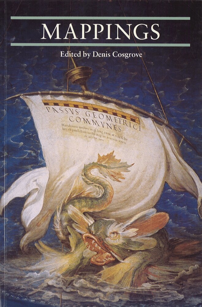
With essays by Jerry Brotton, Paul Carter, Michael Charlesworth, James Corner, Wystan Curnow, Christian Jacob, Luciana de Lima Martins, David Matless, Armand Mattelart, Lucia Nuti and Alessandro Scafi.Mappings explores what mapping has meant in the past and how its meanings have altered. How have maps and mapping served to order and represent physical, social and imaginative worlds? How has the practice of mapping shaped modern seeing and knowing? In what ways do contemporary changes in our experience of the world alter the meanings and practice of mapping, and vice versa?In their diverse expressions, maps and the representational processes of mapping have constructed the spaces of modernity since the early Renaissance. The map’s spatial fixity, its capacity to frame, control and communicate knowledge through combining image and text, and cartography’s increasing claims to scientific authority, make mapping at once an instrument and a metaphor for rational understanding of the world.Among the topics the authors investigate are projective and imaginative mappings; mappings of terraqueous spaces; mapping and localism at the ‘chorographic’ scale; and mapping as personal exploration.
Häftad, Engelska, 2010
232 kr
Skickas inom 5-8 vardagar
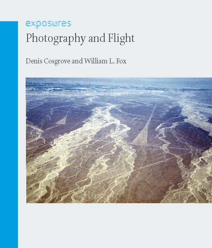
Photography and Flight charts the rich and varied history of aerial photography, which has been used for everything from geographic exploration to secret spy missions. Beginning with early images taken from hot-air balloons and fixed platforms, Denis Cosgrove and William Fox then explain how military reconnaissance was instrumental in catalysing innovations in the field. They examine pivotal historical moments when aerial photography began to establish itself as an essential tool, such as in Second World War military strategies, high-altitude photography taken from postwar rockets and aircraft, and the extensive implementation of aerial photography during the Cold War and the Cuban Missile Crisis. The book also explores the advancement of geographic scholarship through aerial photography, ranging from military excursions into remote areas like Antarctica to the images of the curvature of the earth taken during the Apollo space missions.While digital technology and remote sensing have changed the landscape of photography, Photography and Flight argues that they have not diminished the significance of aerial photography in providing images of the earth. Rather, new technologies and resulting innovations such as Google Earth have enabled the mass-democratization of access to such information.

Inbunden, Engelska, 2001
611 kr
Tillfälligt slut
"Earthbound humans are unable to embrace more than a tiny part of the planetary surface. But in their imagination they can grasp the whole of the earth, as a surface or a solid body, to locate it within infinities of space and to communicate and share images of it."-from the Preface Long before we had the ability to photograph the earth from space-to see our planet as it would be seen by the Greek god Apollo-images of the earth as a globe had captured popular imagination. In Apollo's Eye, geographer Denis Cosgrove examines the historical implications for the West of conceiving and representing the earth as a globe: a unified, spherical body. Cosgrove traces how ideas of globalism and globalization have shifted historically in relation to changing images of the earth, from antiquity to the Space Age. He connects the evolving image of a unified globe to politically powerful conceptions of human unity.