
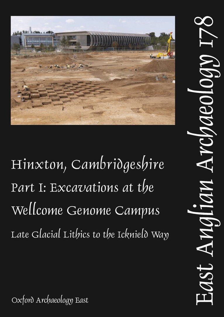
Extensive archaeological investigations were undertaken over two decades in Hinxton, south Cambridgeshire by OA East on behalf of the Wellcome Trust. The excavated areas lay in the Cam valley, a ‘borderland zone’ crossed by Icknield Way; the ridgeway route and the River Cam providing natural corridors of movement and communication. Hinxton’s post-glacial valley landscape of indigenous woodland, streams and seasonally flooded pools attracted Palaeolithic and Mesolithic communities to the area. Fills of one pool yielded a Terminal Palaeolithic ‘Long/Bruised Blade’ assemblage of national significance. Tree clearance to permit exploitation of the fertile valley sides began in the Early Neolithic. The increasingly ‘ritual’ or ceremonial significance of the landscape is indicated by a Late Neolithic/Early Bronze Age shaft containing a substantial assemblage of worked flint and Beaker pottery. During the later prehistoric and Early Roman periods, two square enclosures – the largest related to mortuary practices – were followed by a small timber shrine. Burial of selected individuals, both in graves and as disarticulated remains, occurred sporadically throughout prehistory. Agricultural exploitation of the valley seems to have been almost continuous from the Early Neolithic until the Middle Roman period, after which the land lay largely fallow. Conquest period large corrals linked to major trackways potentially demonstrate stock management on a scale commensurate with supplying the nearby fort and Roman town at Great Chesterford. The immediate landscape was not resettled until the Anglo-Saxon period. Post-Roman activity at Hinxton is the subject of a companion volume (Part II).
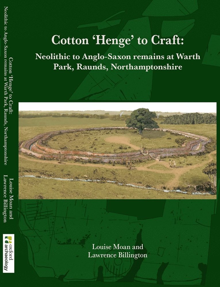
Between 2013 and 2018, the construction of a new industrial park afforded Oxford Archaeology the opportunity to investigate 19ha of land on the western edge of Raunds, Northamptonshire. The archaeological works revealed evidence for human activity spanning the early Neolithic to middle Saxon periods. From at least the early 18th century, the area has been under cultivation and has consequently suffered the effects of a substantial period of ploughing. Key to the development of the site was an early Neolithic monumental ditched enclosure, recorded in the Northamptonshire Historic Environment Record (NHER) as Cotton ‘Henge’. Its excavation provided important new evidence for its date and its influence on the surrounding landscape. Nearby lay middle and late Neolithic pits containing pottery and struck flint. Positioned at the centre of the ‘Henge’ was an early Bronze Age barrow, which was subsequently incorporated into a Middle Bronze Age field system. Dense settlement remains dating to the early to middle Iron Age transition extended across much of the site, including structures, numerous storage pits or silos, cobbled trackways and a pit alignment. Large assemblages of pottery, animal bone and other finds came from these features, alongside rich environmental remains. Romano-British activity was significant, with non-settlement, craft and agrarian-related remains extending across the area. Features included a pottery kiln and corn dryer, various burials and six stone-lined wells. The latter yielded important finds and environmental assemblages, preserved in their waterlogged fills. The most impressive item was a near life-sized carved wooden arm, believed to be a votive offering. This is an extremely rare find and perhaps the only item of its type from Roman Britain. Anglo-Saxon settlement took the form of numerous sunken-featured buildings. By the post-medieval period, the development site lay beneath strip fields associated with the village of Raunds to the east; by this time, the adjacent medieval village of Mallows Cotton (located to the immediate west) had been abandoned. The archaeological evidence uncovered at Warth Park has demonstrated that this area has been a widely exploited and managed landscape for approximately five millennia. The remains reflect an agricultural site, with associated craft and funerary activity, linked to known settlement areas in the wider environs.
Extensive archaeological investigations were undertaken over two decades in Hinxton, south Cambridgeshire by OA East on behalf of the Wellcome Trust. The excavated areas lay in the Cam valley, a ‘borderland zone’ crossed by Icknield Way; the ridgeway route and the River Cam providing natural corridors of movement and communication. Hinxton’s post-glacial valley landscape of indigenous woodland, streams and seasonally flooded pools attracted Palaeolithic and Mesolithic communities to the area. Fills of one pool yielded a Terminal Palaeolithic ‘Long/Bruised Blade’ assemblage of national significance. Tree clearance to permit exploitation of the fertile valley sides began in the Early Neolithic. The increasingly ‘ritual’ or ceremonial significance of the landscape is indicated by a Late Neolithic/Early Bronze Age shaft containing a substantial assemblage of worked flint and Beaker pottery. During the later prehistoric and Early Roman periods, two square enclosures – the largest related to mortuary practices – were followed by a small timber shrine. Burial of selected individuals, both in graves and as disarticulated remains, occurred sporadically throughout prehistory. Agricultural exploitation of the valley seems to have been almost continuous from the Early Neolithic until the Middle Roman period, after which the land lay largely fallow. Conquest period large corrals linked to major trackways potentially demonstrate stock management on a scale commensurate with supplying the nearby fort and Roman town at Great Chesterford. The immediate landscape was not resettled until the Anglo-Saxon period. Post-Roman activity at Hinxton is the subject of a companion volume (Part II).
Between 2013 and 2018, the construction of a new industrial park afforded Oxford Archaeology the opportunity to investigate 19ha of land on the western edge of Raunds, Northamptonshire. The archaeological works revealed evidence for human activity spanning the early Neolithic to middle Saxon periods. From at least the early 18th century, the area has been under cultivation and has consequently suffered the effects of a substantial period of ploughing. Key to the development of the site was an early Neolithic monumental ditched enclosure, recorded in the Northamptonshire Historic Environment Record (NHER) as Cotton ‘Henge’. Its excavation provided important new evidence for its date and its influence on the surrounding landscape. Nearby lay middle and late Neolithic pits containing pottery and struck flint. Positioned at the centre of the ‘Henge’ was an early Bronze Age barrow, which was subsequently incorporated into a Middle Bronze Age field system. Dense settlement remains dating to the early to middle Iron Age transition extended across much of the site, including structures, numerous storage pits or silos, cobbled trackways and a pit alignment. Large assemblages of pottery, animal bone and other finds came from these features, alongside rich environmental remains. Romano-British activity was significant, with non-settlement, craft and agrarian-related remains extending across the area. Features included a pottery kiln and corn dryer, various burials and six stone-lined wells. The latter yielded important finds and environmental assemblages, preserved in their waterlogged fills. The most impressive item was a near life-sized carved wooden arm, believed to be a votive offering. This is an extremely rare find and perhaps the only item of its type from Roman Britain. Anglo-Saxon settlement took the form of numerous sunken-featured buildings. By the post-medieval period, the development site lay beneath strip fields associated with the village of Raunds to the east; by this time, the adjacent medieval village of Mallows Cotton (located to the immediate west) had been abandoned. The archaeological evidence uncovered at Warth Park has demonstrated that this area has been a widely exploited and managed landscape for approximately five millennia. The remains reflect an agricultural site, with associated craft and funerary activity, linked to known settlement areas in the wider environs.