
Lynn Lyon – författare

841 kr
Läs direkt efter köp
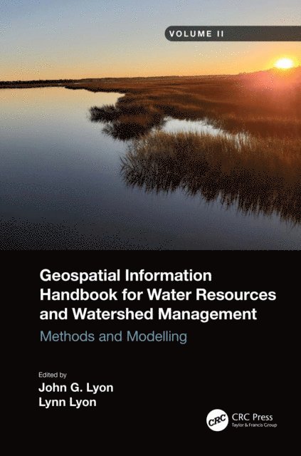
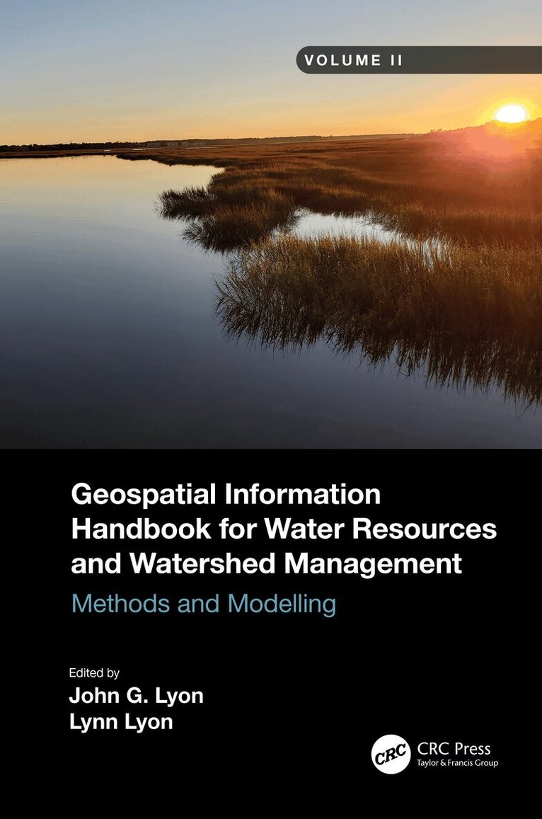
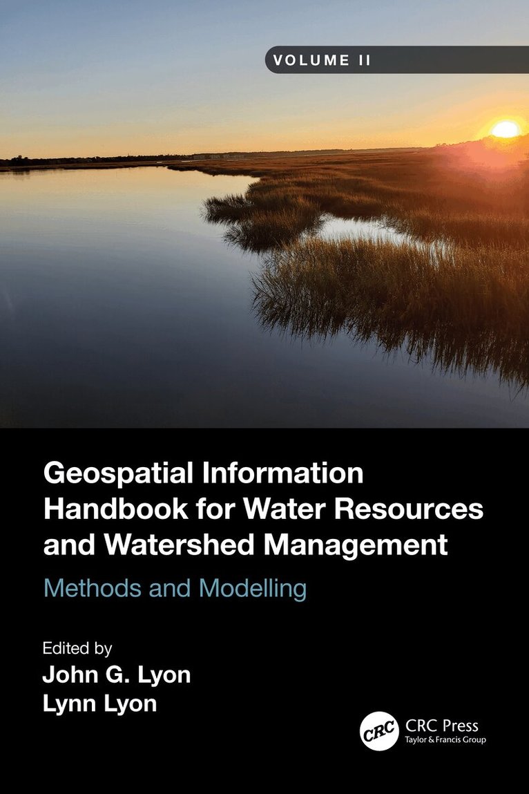
Volume II of Geospatial Information Handbook for Water Resources and Watershed Management discusses Geospatial Technology (GT) approaches using integrated modeling as applied to advanced water resource assessments. Features include multiple date land cover analyses as change in land cover influences water quality, model sensitivity analyses of DEM resolution and influences on modeling water characteristics like Manning’s n, development of seabed cover classification and sensitivity, and forecasting urban growth over time with climate vulnerability impacts on water. A detailed case study presents a range of water quality issues, all effectively demonstrating GT inputs to water quality studies from headwaters to receiving estuarine waters. Also analyzed are the comparison of evapotranspiration simulation performance by APEX model in dryland and irrigated cropping systems and perspectives on the future of transient storage modeling.
Captures advanced technologies and applications for implementation with models to address a broad spectrum of water issues
Provides real-world applications and case studies using advanced spectral and spatial sensors combined with geospatially facilitated water process models
Features a Neuse River Basin case study integrating hydrologic methods and modeling along with remote sensing and GIS technologies for nonpoint source water quality evaluations
Global coverage with applications demonstrated by more than 170 experts from around the world
This handbook is a wide-ranging and contemporary reference of advanced geospatial techniques used in numerous practical applications at the local and regional scale and is an in-depth resource for professionals and the water research community worldwide.

1 059 kr
Läs direkt efter köp
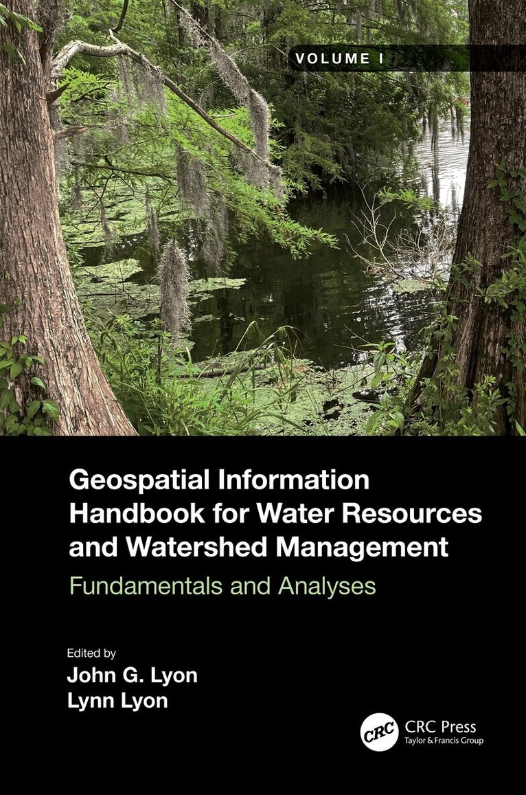
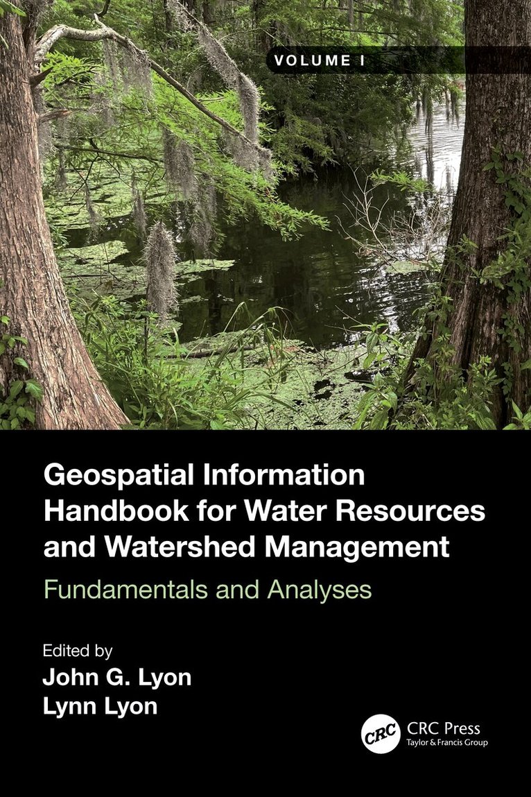
Volume I of Geospatial Information Handbook for Water Resources and Watershed Management discusses fundamental characteristics, measurements, and analyses of water features and watersheds including lakes and reservoirs, rivers and streams, and coasts and estuaries. It presents contemporary knowledge on Geospatial Technology (GT)–supported functional analyses of water runoff, storage and balance, flooding and floodplains, water quality, soils and moisture, climate vulnerabilities, and ecosystem services.
Captures advanced Geospatial Technologies (GTs) addressing a wide range of water issues
Provides real-world applications and case studies using advanced spectral and spatial sensors combined with geospatially facilitated water process models
Details applications of ArcInfo/ArcGIS, Google Earth Engine, and other systems using advanced remote sensors, including hyperspectral ER2 AVIRIS, Sentinel-1 and -2, MODIS, Landsat 7 ETM+, Landsat 8 OLI and TIPS, SAR radar, and thermal imaging
Global in coverage with applications contributed by more than 170 authors with lifelong expertise in water sciences and engineering
This handbook is a wide-ranging and contemporary reference of advanced geospatial techniques used in numerous practical applications at the local and regional scales and is an in-depth resource for professionals and the water research community worldwide.

1 059 kr
Läs direkt efter köp
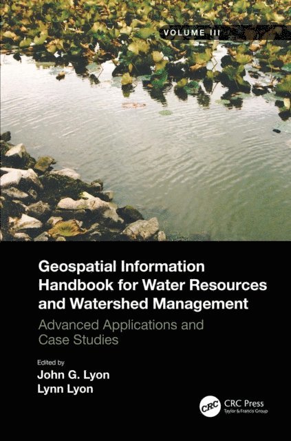
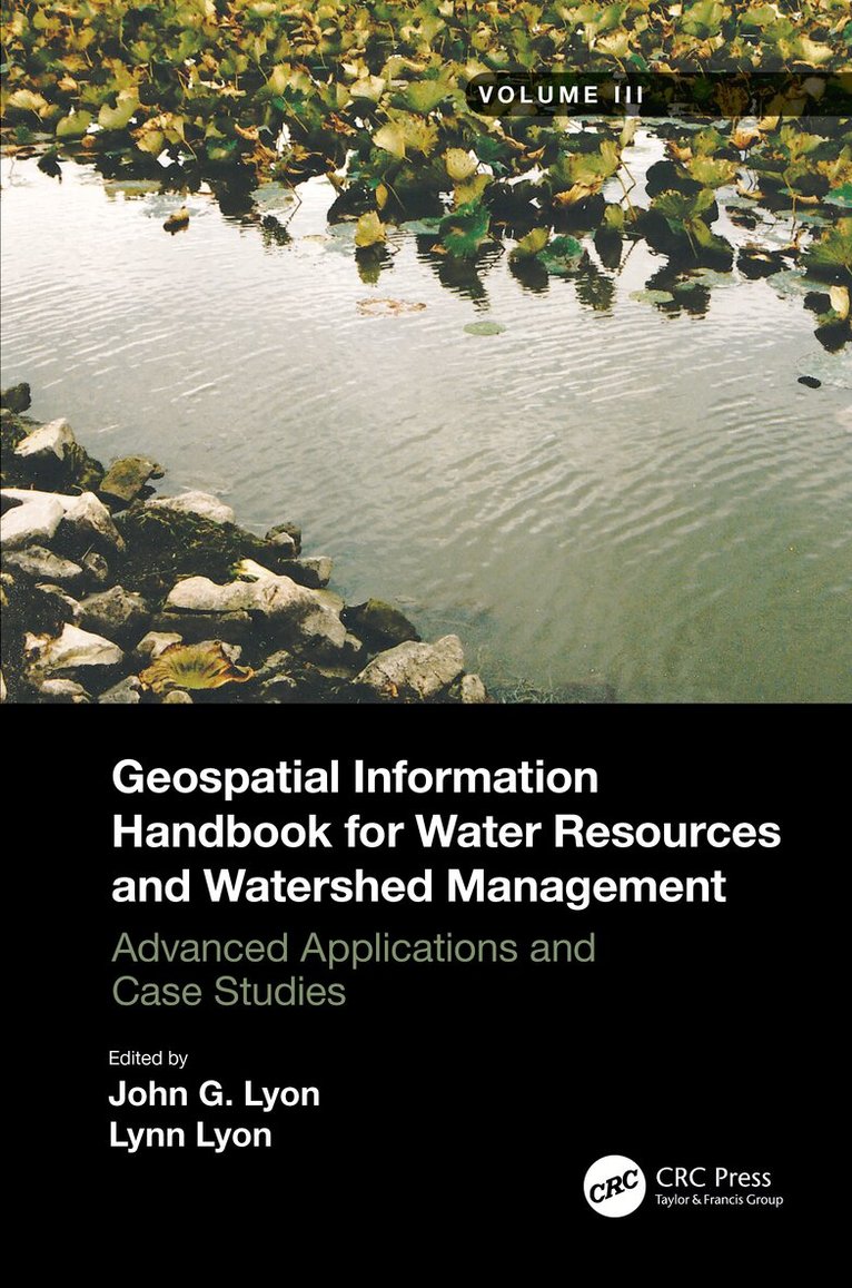
Volume III of Geospatial Information Handbook for Water Resources and Watershed Management discusses water and watershed issues such as water quality, evapotranspiration, water resource management, and ecological services.
Featured is a two-stage ditch and river geomorphology case study section with related water geospatial applications, including historical image analyses of floodplains and channels and resulting change in river geomorphology through erosion and transport and influence on dependent vegetation communities.
Captures advanced Geospatial Technologies (GT) and their applications to address a wide spectrum of water issues
Provides real-world two-stage ditch and river geomorphology case studies using river, stream and channel measures and change models, and bankfull discharge modeling
Global in coverage with applications demonstrated by more than 170 experts in water sciences and two-stage ditch and river geomorphology
This handbook is a wide-ranging and contemporary reference of advanced geospatial techniques used in numerous practical applications at the local and regional scale and is an in-depth resource for professionals and the water research community worldwide.
841 kr
Läs direkt efter köp
Volume II of Geospatial Information Handbook for Water Resources and Watershed Management discusses Geospatial Technology (GT) approaches using integrated modeling as applied to advanced water resource assessments. Features include multiple date land cover analyses as change in land cover influences water quality, model sensitivity analyses of DEM resolution and influences on modeling water characteristics like Manning’s n, development of seabed cover classification and sensitivity, and forecasting urban growth over time with climate vulnerability impacts on water. A detailed case study presents a range of water quality issues, all effectively demonstrating GT inputs to water quality studies from headwaters to receiving estuarine waters. Also analyzed are the comparison of evapotranspiration simulation performance by APEX model in dryland and irrigated cropping systems and perspectives on the future of transient storage modeling.
Captures advanced technologies and applications for implementation with models to address a broad spectrum of water issues
Provides real-world applications and case studies using advanced spectral and spatial sensors combined with geospatially facilitated water process models
Features a Neuse River Basin case study integrating hydrologic methods and modeling along with remote sensing and GIS technologies for nonpoint source water quality evaluations
Global coverage with applications demonstrated by more than 170 experts from around the world
This handbook is a wide-ranging and contemporary reference of advanced geospatial techniques used in numerous practical applications at the local and regional scale and is an in-depth resource for professionals and the water research community worldwide.

1 059 kr
Läs direkt efter köp
Volume I of Geospatial Information Handbook for Water Resources and Watershed Management discusses fundamental characteristics, measurements, and analyses of water features and watersheds including lakes and reservoirs, rivers and streams, and coasts and estuaries. It presents contemporary knowledge on Geospatial Technology (GT)–supported functional analyses of water runoff, storage and balance, flooding and floodplains, water quality, soils and moisture, climate vulnerabilities, and ecosystem services.
Captures advanced Geospatial Technologies (GTs) addressing a wide range of water issues
Provides real-world applications and case studies using advanced spectral and spatial sensors combined with geospatially facilitated water process models
Details applications of ArcInfo/ArcGIS, Google Earth Engine, and other systems using advanced remote sensors, including hyperspectral ER2 AVIRIS, Sentinel-1 and -2, MODIS, Landsat 7 ETM+, Landsat 8 OLI and TIPS, SAR radar, and thermal imaging
Global in coverage with applications contributed by more than 170 authors with lifelong expertise in water sciences and engineering
This handbook is a wide-ranging and contemporary reference of advanced geospatial techniques used in numerous practical applications at the local and regional scales and is an in-depth resource for professionals and the water research community worldwide.
1 059 kr
Läs direkt efter köp
Volume III of Geospatial Information Handbook for Water Resources and Watershed Management discusses water and watershed issues such as water quality, evapotranspiration, water resource management, and ecological services.
Featured is a two-stage ditch and river geomorphology case study section with related water geospatial applications, including historical image analyses of floodplains and channels and resulting change in river geomorphology through erosion and transport and influence on dependent vegetation communities.
Captures advanced Geospatial Technologies (GT) and their applications to address a wide spectrum of water issues
Provides real-world two-stage ditch and river geomorphology case studies using river, stream and channel measures and change models, and bankfull discharge modeling
Global in coverage with applications demonstrated by more than 170 experts in water sciences and two-stage ditch and river geomorphology
This handbook is a wide-ranging and contemporary reference of advanced geospatial techniques used in numerous practical applications at the local and regional scale and is an in-depth resource for professionals and the water research community worldwide.

6 422 kr
Skickas inom 10-15 vardagar
2 043 kr
Skickas inom 10-15 vardagar
2 968 kr
Skickas inom 10-15 vardagar
885 kr
Skickas inom 10-15 vardagar
2 043 kr
Skickas inom 10-15 vardagar
885 kr
Skickas inom 10-15 vardagar

2 043 kr
Skickas inom 10-15 vardagar
885 kr
Skickas inom 10-15 vardagar

305 kr
Skickas inom 5-8 vardagar