John G. Lyon – författare
995 kr
Skickas inom 10-15 vardagar
1 982 kr
Skickas inom 10-15 vardagar
824 kr
Läs direkt efter köp
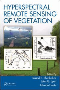
Written by leading global experts, including pioneers in the field, the four-volume set on Hyperspectral Remote Sensing of Vegetation, Second Edition, reviews existing state-of-the-art knowledge, highlights advances made in different areas, and provides guidance for the appropriate use of hyperspectral data in the study and management of agricultural crops and natural vegetation.
Volume IV, Advanced Applications in Remote Sensing of Agricultural Crops and Natural Vegetation discusses the use of hyperspectral or imaging spectroscopy data in numerous specific and advanced applications, such as forest management, precision farming, managing invasive species, and local to global land cover change detection. It emphasizes the importance of hyperspectral remote sensing tools for studying vegetation processes and functions as well as the appropriate use of hyperspectral data for vegetation management practices. The concluding chapter provides readers with useful guidance on the highlights and essence of Volume IV through the editors’ perspective.
Key Features of Volume IV:
Guides readers to harness the capabilities of the most recent advances in applying hyperspectral remote sensing technology to the study of terrestrial vegetation.
Includes specific applications on agriculture, crop management practices, study of crop stress and diseases, crop characteristics based on inputs (e.g., nitrogen, irrigation), study of vegetation impacted by heavy metals, gross and net primary productivity studies, light use efficiency studies, crop water use and actual evapotranspiration studies, phenology monitoring, land use and land cover studies, global change studies, plant species detection, wetland and forest characterization and mapping, crop productivity and crop water productivity mapping, and modeling.
Encompasses hyperspectral or imaging spectroscopy data in narrow wavebands used across visible, red-edge, near-infrared, far-infrared, shortwave infrared, and thermal portions of the spectrum.
Explains the implementation of hyperspectral remote sensing data processing mechanisms in a standard, fast, and efficient manner for their applications.
Discusses cloud computing to overcome hyperspectral remote sensing massive big data challenges. Provides hyperspectral analysis of rocky surfaces on the earth and other planetary systems.
795 kr
Läs direkt efter köp
Written by leading global experts, including pioneers in the field, the four-volume set on Hyperspectral Remote Sensing of Vegetation, Second Edition, reviews existing state-of-the-art knowledge, highlights advances made in different areas, and provides guidance for the appropriate use of hyperspectral data in the study and management of agricultural crops and natural vegetation.
Volume IV, Advanced Applications in Remote Sensing of Agricultural Crops and Natural Vegetation discusses the use of hyperspectral or imaging spectroscopy data in numerous specific and advanced applications, such as forest management, precision farming, managing invasive species, and local to global land cover change detection. It emphasizes the importance of hyperspectral remote sensing tools for studying vegetation processes and functions as well as the appropriate use of hyperspectral data for vegetation management practices. The concluding chapter provides readers with useful guidance on the highlights and essence of Volume IV through the editors’ perspective.
Key Features of Volume IV:
Guides readers to harness the capabilities of the most recent advances in applying hyperspectral remote sensing technology to the study of terrestrial vegetation.
Includes specific applications on agriculture, crop management practices, study of crop stress and diseases, crop characteristics based on inputs (e.g., nitrogen, irrigation), study of vegetation impacted by heavy metals, gross and net primary productivity studies, light use efficiency studies, crop water use and actual evapotranspiration studies, phenology monitoring, land use and land cover studies, global change studies, plant species detection, wetland and forest characterization and mapping, crop productivity and crop water productivity mapping, and modeling.
Encompasses hyperspectral or imaging spectroscopy data in narrow wavebands used across visible, red-edge, near-infrared, far-infrared, shortwave infrared, and thermal portions of the spectrum.
Explains the implementation of hyperspectral remote sensing data processing mechanisms in a standard, fast, and efficient manner for their applications.
Discusses cloud computing to overcome hyperspectral remote sensing massive big data challenges. Provides hyperspectral analysis of rocky surfaces on the earth and other planetary systems.
841 kr
Läs direkt efter köp
Written by leading global experts, including pioneers in the field, the four-volume set on Hyperspectral Remote Sensing of Vegetation, Second Edition, reviews existing stateof- the-art knowledge, highlights advances made in different areas, and provides guidance for the appropriate use of hyperspectral data in the study and management of agricultural crops and natural vegetation.
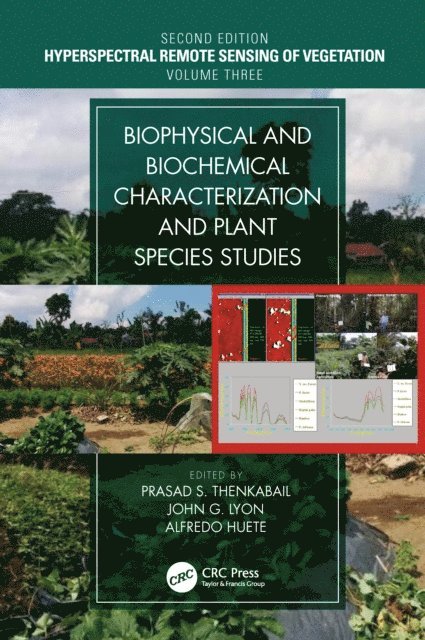
Hyperspectral remote sensing or imaging spectroscopy data has been increasingly used in studying and assessing the biophysical and biochemical properties of agricultural crops and natural vegetation. Volume III, Biophysical and Biochemical Characterization and Plant Species Studies demonstrates the methods that are developed and used to study terrestrial vegetation using hyperspectral data. This volume includes extensive discussions on hyperspectral data processing and how to implement data processing mechanisms for specific biophysical and biochemical applications such as crop yield modeling, crop biophysical and biochemical property characterization, and crop moisture assessments. The concluding chapter provides readers with useful guidance on the highlights and essence of Volume III through the editors’ perspective.
Key Features of Volume III:
Covers recent abilities to better quantify, model, and map plant biophysical, biochemical water, and structural properties.
Demonstrates characteristic hyperspectral properties through plant diagnostics or throughput phenotyping of plant biophysical, biochemical, water, and structural properties.
Establishes plant traits through hyperspectral imaging spectroscopy data as well as its integration with other data, such as LiDAR, using data from various platforms (ground-based, UAVs, and earth-observing satellites).
Studies photosynthetic efficiency and plant health and stress through hyperspectral narrowband vegetation indices.
Uses hyperspectral data to discriminate plant species and\or their types as well as their characteristics, such as growth stages.
Compares studies of plant species of agriculture, forests, and other land use\land cover as established by hyperspectral narrowband data versus multispectral broadband data.
Discusses complete solutions from methods to applications, inventory, and modeling considering various platform (e.g., earth-observing satellites, UAVs, handheld spectroradiometers) from where the data is gathered. Dwells on specific applications to detect and map invasive species by using hyperspectral data.
841 kr
Läs direkt efter köp
Written by leading global experts, including pioneers in the field, the four-volume set on Hyperspectral Remote Sensing of Vegetation, Second Edition, reviews existing stateof- the-art knowledge, highlights advances made in different areas, and provides guidance for the appropriate use of hyperspectral data in the study and management of agricultural crops and natural vegetation.
Hyperspectral remote sensing or imaging spectroscopy data has been increasingly used in studying and assessing the biophysical and biochemical properties of agricultural crops and natural vegetation. Volume III, Biophysical and Biochemical Characterization and Plant Species Studies demonstrates the methods that are developed and used to study terrestrial vegetation using hyperspectral data. This volume includes extensive discussions on hyperspectral data processing and how to implement data processing mechanisms for specific biophysical and biochemical applications such as crop yield modeling, crop biophysical and biochemical property characterization, and crop moisture assessments. The concluding chapter provides readers with useful guidance on the highlights and essence of Volume III through the editors’ perspective.
Key Features of Volume III:
Covers recent abilities to better quantify, model, and map plant biophysical, biochemical water, and structural properties.
Demonstrates characteristic hyperspectral properties through plant diagnostics or throughput phenotyping of plant biophysical, biochemical, water, and structural properties.
Establishes plant traits through hyperspectral imaging spectroscopy data as well as its integration with other data, such as LiDAR, using data from various platforms (ground-based, UAVs, and earth-observing satellites).
Studies photosynthetic efficiency and plant health and stress through hyperspectral narrowband vegetation indices.
Uses hyperspectral data to discriminate plant species and\or their types as well as their characteristics, such as growth stages.
Compares studies of plant species of agriculture, forests, and other land use\land cover as established by hyperspectral narrowband data versus multispectral broadband data.
Discusses complete solutions from methods to applications, inventory, and modeling considering various platform (e.g., earth-observing satellites, UAVs, handheld spectroradiometers) from where the data is gathered. Dwells on specific applications to detect and map invasive species by using hyperspectral data.
779 kr
Läs direkt efter köp
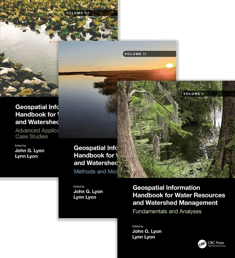
Volume II of Geospatial Information Handbook for Water Resources and Watershed Management discusses Geospatial Technology (GT) approaches using integrated modeling as applied to advanced water resource assessments. Features include multiple date land cover analyses as change in land cover influences water quality, model sensitivity analyses of DEM resolution and influences on modeling water characteristics like Manning’s n, development of seabed cover classification and sensitivity, and forecasting urban growth over time with climate vulnerability impacts on water. A detailed case study presents a range of water quality issues, all effectively demonstrating GT inputs to water quality studies from headwaters to receiving estuarine waters. Also analyzed are the comparison of evapotranspiration simulation performance by APEX model in dryland and irrigated cropping systems and perspectives on the future of transient storage modeling.
Captures advanced technologies and applications for implementation with models to address a broad spectrum of water issues
Provides real-world applications and case studies using advanced spectral and spatial sensors combined with geospatially facilitated water process models
Features a Neuse River Basin case study integrating hydrologic methods and modeling along with remote sensing and GIS technologies for nonpoint source water quality evaluations
Global coverage with applications demonstrated by more than 170 experts from around the world
This handbook is a wide-ranging and contemporary reference of advanced geospatial techniques used in numerous practical applications at the local and regional scale and is an in-depth resource for professionals and the water research community worldwide.
1 009 kr
Läs direkt efter köp
Volume I of Geospatial Information Handbook for Water Resources and Watershed Management discusses fundamental characteristics, measurements, and analyses of water features and watersheds including lakes and reservoirs, rivers and streams, and coasts and estuaries. It presents contemporary knowledge on Geospatial Technology (GT)–supported functional analyses of water runoff, storage and balance, flooding and floodplains, water quality, soils and moisture, climate vulnerabilities, and ecosystem services.
Captures advanced Geospatial Technologies (GTs) addressing a wide range of water issues
Provides real-world applications and case studies using advanced spectral and spatial sensors combined with geospatially facilitated water process models
Details applications of ArcInfo/ArcGIS, Google Earth Engine, and other systems using advanced remote sensors, including hyperspectral ER2 AVIRIS, Sentinel-1 and -2, MODIS, Landsat 7 ETM+, Landsat 8 OLI and TIPS, SAR radar, and thermal imaging
Global in coverage with applications contributed by more than 170 authors with lifelong expertise in water sciences and engineering
This handbook is a wide-ranging and contemporary reference of advanced geospatial techniques used in numerous practical applications at the local and regional scales and is an in-depth resource for professionals and the water research community worldwide.
1 009 kr
Läs direkt efter köp
Volume III of Geospatial Information Handbook for Water Resources and Watershed Management discusses water and watershed issues such as water quality, evapotranspiration, water resource management, and ecological services.
Featured is a two-stage ditch and river geomorphology case study section with related water geospatial applications, including historical image analyses of floodplains and channels and resulting change in river geomorphology through erosion and transport and influence on dependent vegetation communities.
Captures advanced Geospatial Technologies (GT) and their applications to address a wide spectrum of water issues
Provides real-world two-stage ditch and river geomorphology case studies using river, stream and channel measures and change models, and bankfull discharge modeling
Global in coverage with applications demonstrated by more than 170 experts in water sciences and two-stage ditch and river geomorphology
This handbook is a wide-ranging and contemporary reference of advanced geospatial techniques used in numerous practical applications at the local and regional scale and is an in-depth resource for professionals and the water research community worldwide.
807 kr
Läs direkt efter köp
Volume II of Geospatial Information Handbook for Water Resources and Watershed Management discusses Geospatial Technology (GT) approaches using integrated modeling as applied to advanced water resource assessments. Features include multiple date land cover analyses as change in land cover influences water quality, model sensitivity analyses of DEM resolution and influences on modeling water characteristics like Manning’s n, development of seabed cover classification and sensitivity, and forecasting urban growth over time with climate vulnerability impacts on water. A detailed case study presents a range of water quality issues, all effectively demonstrating GT inputs to water quality studies from headwaters to receiving estuarine waters. Also analyzed are the comparison of evapotranspiration simulation performance by APEX model in dryland and irrigated cropping systems and perspectives on the future of transient storage modeling.
Captures advanced technologies and applications for implementation with models to address a broad spectrum of water issues
Provides real-world applications and case studies using advanced spectral and spatial sensors combined with geospatially facilitated water process models
Features a Neuse River Basin case study integrating hydrologic methods and modeling along with remote sensing and GIS technologies for nonpoint source water quality evaluations
Global coverage with applications demonstrated by more than 170 experts from around the world
This handbook is a wide-ranging and contemporary reference of advanced geospatial techniques used in numerous practical applications at the local and regional scale and is an in-depth resource for professionals and the water research community worldwide.
1 009 kr
Läs direkt efter köp
Volume I of Geospatial Information Handbook for Water Resources and Watershed Management discusses fundamental characteristics, measurements, and analyses of water features and watersheds including lakes and reservoirs, rivers and streams, and coasts and estuaries. It presents contemporary knowledge on Geospatial Technology (GT)–supported functional analyses of water runoff, storage and balance, flooding and floodplains, water quality, soils and moisture, climate vulnerabilities, and ecosystem services.
Captures advanced Geospatial Technologies (GTs) addressing a wide range of water issues
Provides real-world applications and case studies using advanced spectral and spatial sensors combined with geospatially facilitated water process models
Details applications of ArcInfo/ArcGIS, Google Earth Engine, and other systems using advanced remote sensors, including hyperspectral ER2 AVIRIS, Sentinel-1 and -2, MODIS, Landsat 7 ETM+, Landsat 8 OLI and TIPS, SAR radar, and thermal imaging
Global in coverage with applications contributed by more than 170 authors with lifelong expertise in water sciences and engineering
This handbook is a wide-ranging and contemporary reference of advanced geospatial techniques used in numerous practical applications at the local and regional scales and is an in-depth resource for professionals and the water research community worldwide.
1 009 kr
Läs direkt efter köp
Volume III of Geospatial Information Handbook for Water Resources and Watershed Management discusses water and watershed issues such as water quality, evapotranspiration, water resource management, and ecological services.
Featured is a two-stage ditch and river geomorphology case study section with related water geospatial applications, including historical image analyses of floodplains and channels and resulting change in river geomorphology through erosion and transport and influence on dependent vegetation communities.
Captures advanced Geospatial Technologies (GT) and their applications to address a wide spectrum of water issues
Provides real-world two-stage ditch and river geomorphology case studies using river, stream and channel measures and change models, and bankfull discharge modeling
Global in coverage with applications demonstrated by more than 170 experts in water sciences and two-stage ditch and river geomorphology
This handbook is a wide-ranging and contemporary reference of advanced geospatial techniques used in numerous practical applications at the local and regional scale and is an in-depth resource for professionals and the water research community worldwide.
6 509 kr
Skickas inom 10-15 vardagar
2 071 kr
Skickas inom 10-15 vardagar
3 008 kr
Skickas inom 10-15 vardagar
897 kr
Skickas inom 10-15 vardagar
2 071 kr
Skickas inom 10-15 vardagar
897 kr
Skickas inom 10-15 vardagar
2 071 kr
Skickas inom 10-15 vardagar
897 kr
Skickas inom 10-15 vardagar
742 kr
Skickas inom 10-15 vardagar
742 kr
Skickas inom 10-15 vardagar
728 kr
Skickas inom 10-15 vardagar
742 kr
Skickas inom 10-15 vardagar
3 325 kr
Skickas inom 10-15 vardagar
2 606 kr
Läs direkt efter köp
1 328 kr
Läs direkt efter köp
1 362 kr
Läs direkt efter köp
2 858 kr
Läs direkt efter köp
942 kr
Läs direkt efter köp