
Mary Sponberg Pedley – författare
Visar alla böcker från författaren . Handla med fri frakt och snabb leverans.
3 produkter
3 produkter
E-bok
PDF, Engelska, 202010 417 kr
Läs direkt efter köp
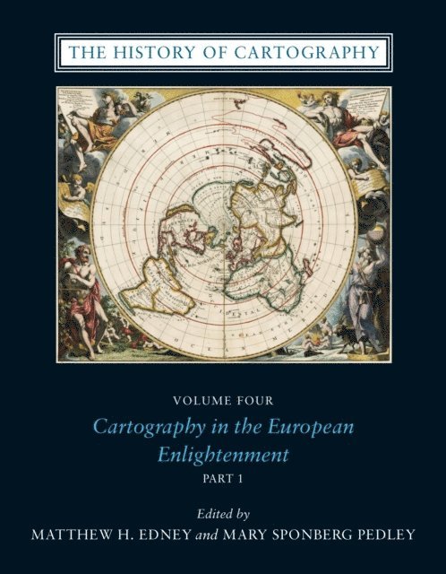
Since its launch in 1987, the History of Cartography series has garnered critical acclaim and sparked a new generation of interdisciplinary scholarship. Cartography in the European Enlightenment, the highly anticipated fourth volume, offers a comprehensive overview of the cartographic practices of Europeans, Russians, and the Ottomans, both at home and in overseas territories, from 1650 to 1800. The social and intellectual changes that swept Enlightenment Europe also transformed many of its mapmaking practices. A new emphasis on geometric principles gave rise to improved tools for measuring and mapping the world, even as large-scale cartographic projects became possible under the aegis of powerful states. Yet older mapping practices persisted: Enlightenment cartography encompassed a wide variety of processes for making, circulating, and using maps of different types. The volume’s more than four hundred encyclopedic articles explore the era’s mapping, covering topics both detailed—such as geodetic surveying, thematic mapping, and map collecting—and broad, such as women and cartography, cartography and the economy, and the art and design of maps. Copious bibliographical references and nearly one thousand full-color illustrations complement the detailed entries.
E-bok
PDF, Engelska, 20221 175 kr
Läs direkt efter köp
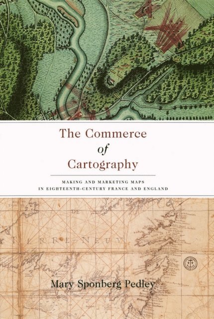
Though the political and intellectual history of mapmaking in the eighteenth century is well established, the details of its commercial revolution have until now been widely scattered. In The Commerce of Cartography, Mary Pedley presents a vivid picture of the costs and profits of the mapmaking industry in England and France, and reveals how the economics of map trade affected the content and appearance of the maps themselves. Conceptualizing the relationship between economics and cartography, Pedley traces the process of mapmaking from compilation, production, and marketing to consumption, reception, and criticism. In detailing the rise of commercial cartography, Pedley explores qualitative issues of mapmaking as well. Why, for instance, did eighteenth-century ideals of aesthetics override the modern values of accuracy and detail? And what, to an eighteenth-century mind and eye, qualified as a good map? A thorough and engaging study of the business of cartography during the Enlightenment, The Commerce of Cartography charts a new cartographic landscape and will prove invaluable to scholars of economic history, historical geography, and the history of publishing.
Häftad, Engelska, 2000
1 848 kr
Skickas inom 5-8 vardagar
This collection of eighty-nine letters written by Parisian and other European map publishers to the London map firm of Jefferys & Faden represents one of the few business archives left to us from the eighteenth-century map trade. Thomas Jefferys (c.1720-1771) and William Faden (1749-1836) both enjoyed the title of ‘Geographer to the King of England’ and were well respected by other geographers of the period. Like many of his contemporaries in the map trade, Jefferys had difficulty making a financial success of his map business; his successor Faden, by contrast, was able to expand the firm into a flourishing business which continued well into the nineteenth century. Their correspondents included important European map and print publishers such as Covens & Mortier in Amsterdam and Lattré, Julien and Desnos in Paris, as well as the French geographers d’Anville and Robert de Vaugondy. Other persons mentioned in the correspondence provide links between Faden’s London firm and the Dépôt de la Marine, the French Navy’s cartographic department, an important connection in the tumultuous decade of 1773-1783 when England found itself at war with France in North America, in the English Channel, and in India. The letters also provide a detailed view of the costs of doing business – prices, discount, payment, schedules and methods, shipping costs and arrangements- in the last quarter of the eighteenth century and further increase our knowledge of the economics of map production and sales in this period. The letters are now in the Manuscript Division of the William L. Clements Library at the University of Michigan. In this edition they have been transcribed and fully annotated and are preceded by an introduction placing the correspondence in the context of the print and book trade and the rôle of cartography in eighteenth-century politics.