Matthew H Edney – författare
Visar alla böcker från författaren Matthew H Edney. Handla med fri frakt och snabb leverans.
7 produkter
7 produkter
Del 4 - History of Cartography
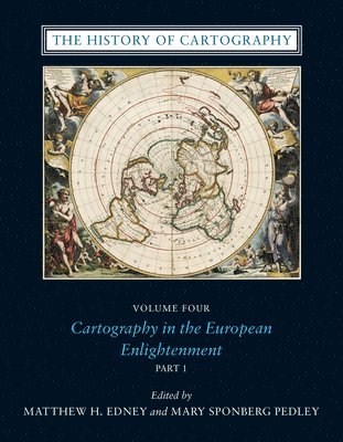
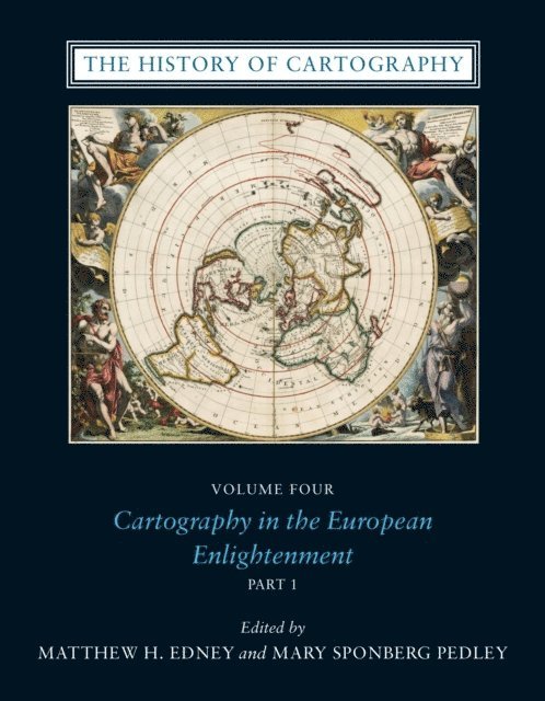
History of Cartography, Volume 4
Cartography in the European Enlightenment
Inbunden, Engelska, 2019
4 705 kr
Skickas inom 5-8 vardagar
Since its launch in 1987, the History of Cartography series has garnered critical acclaim and sparked a new generation of interdisciplinary scholarship. Cartography in the European Enlightenment, the highly anticipated fourth volume, offers a comprehensive overview of the cartographic practices of Europeans, Russians, and the Ottomans, both at home and in overseas territories, from 1650 to 1800. The social and intellectual changes that swept Enlightenment Europe also transformed many of its mapmaking practices. A new emphasis on geometric principles gave rise to improved tools for measuring and mapping the world, even as large-scale cartographic projects became possible under the aegis of powerful states. Yet older mapping practices persisted: Enlightenment cartography encompassed a wide variety of processes for making, circulating, and using maps of different types. The volume’s more than four hundred encyclopedic articles explore the era’s mapping, covering topics both detailed—such as geodetic surveying, thematic mapping, and map collecting—and broad, such as women and cartography, cartography and the economy, and the art and design of maps. Copious bibliographical references and nearly one thousand full-color illustrations complement the detailed entries.
E-bok
Engelska, 2009777 kr
Läs direkt efter köp
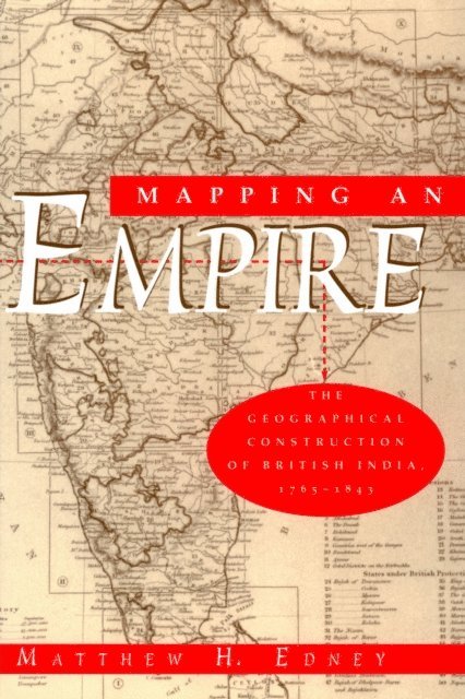
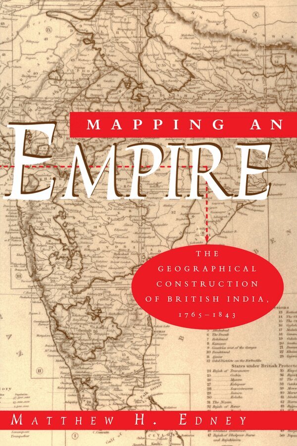
In this fascinating history of the British surveys of India, Matthew H. Edney relates how imperial Britain used modern survey techniques to not only create and define the spatial image of its Empire, but also to legitimate its colonialist activities. "There is much to be praised in this book. It is an excellent history of how India came to be painted red in the nineteenth century. But more importantly, Mapping an Empire sets a new standard for books that examine a fundamental problem in the history of European imperialism."—D. Graham Burnett, Times Literary Supplement "Mapping an Empire is undoubtedly a major contribution to the rapidly growing literature on science and empire, and a work which deserves to stimulate a great deal of fresh thinking and informed research."—David Arnold, Journal of Imperial and Commonwealth History "This case study offers broadly applicable insights into the relationship between ideology, technology and politics. . . . Carefully read, this is a tale of irony about wishful thinking and the limits of knowledge."—Publishers Weekly
Häftad, Engelska, 1999
357 kr
Skickas inom 5-8 vardagar
In this history of the British surveys of India, focusing especially on the Great Trigonometrical Survey (GTS) undertaken by the British East India Company, the author relates how imperial Britain employed modern scientific survey techniques not only to create and define the spacial inmage of its Indian empire, but also to legitimate its colonialist activities as triumphs of liberal, rational science bringing "Civilisation" to irrational, mystical and despotic Indians. The reshaping of cartographic technologies in Europe into their modern form played a key role in the use of the GTS as an instrument of British cartographic control over India. In analyzing this reconfiguration, the author undertakes a detailed critical analysis of the foundations of modern cartography.
E-bok
PDF, Engelska, 202010 417 kr
Läs direkt efter köp
Since its launch in 1987, the History of Cartography series has garnered critical acclaim and sparked a new generation of interdisciplinary scholarship. Cartography in the European Enlightenment, the highly anticipated fourth volume, offers a comprehensive overview of the cartographic practices of Europeans, Russians, and the Ottomans, both at home and in overseas territories, from 1650 to 1800. The social and intellectual changes that swept Enlightenment Europe also transformed many of its mapmaking practices. A new emphasis on geometric principles gave rise to improved tools for measuring and mapping the world, even as large-scale cartographic projects became possible under the aegis of powerful states. Yet older mapping practices persisted: Enlightenment cartography encompassed a wide variety of processes for making, circulating, and using maps of different types. The volume’s more than four hundred encyclopedic articles explore the era’s mapping, covering topics both detailed—such as geodetic surveying, thematic mapping, and map collecting—and broad, such as women and cartography, cartography and the economy, and the art and design of maps. Copious bibliographical references and nearly one thousand full-color illustrations complement the detailed entries.
Häftad, Engelska, 2019
272 kr
Skickas inom 5-8 vardagar
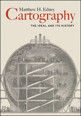
Over the past four decades, the volumes published in the landmark History of Cartography series have both chronicled and encouraged scholarship about maps and mapping practices across time and space. As the current director of the project that has produced these volumes, Matthew H. Edney has a unique vantage point for understanding what “cartography” has come to mean and include. In this book Edney disavows the term cartography, rejecting the notion that maps represent an undifferentiated category of objects for study. Rather than treating maps as a single, unified group, he argues, scholars need to take a processual approach that examines specific types of maps—sea charts versus thematic maps, for example—in the context of the unique circumstances of their production, circulation, and consumption. To illuminate this bold argument, Edney chronicles precisely how the ideal of cartography that has developed in the West since 1800 has gone astray. By exposing the flaws in this ideal, his book challenges everyone who studies maps and mapping practices to reexamine their approach to the topic. The study of cartography will never be the same.
Häftad, Engelska, 2025
1 222 kr
Skickas inom 3-6 vardagar
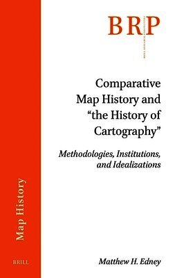
The apparently centuries-old field of “the history of cartography” was invented after 1950 through incomplete historiographies by leading map historians. This monograph uses an empirically grounded analysis of the ways in which early maps have been systematically studied since the early 1800s to offer an innovative account of the practices and institutions of comparative map history in support of Western imperialism and nationalism, and of how the field was reconfigured as the core of a newly idealized discipline of “the history of cartography.”
Inbunden, Engelska, 2019
825 kr
Tillfälligt slut
Over the past four decades, the volumes published in the landmark History of Cartography series have both chronicled and encouraged scholarship about maps and mapping practices across time and space. As the current director of the project that has produced these volumes, Matthew H. Edney has a unique vantage point for understanding what “cartography” has come to mean and include. In this book Edney disavows the term cartography, rejecting the notion that maps represent an undifferentiated category of objects for study. Rather than treating maps as a single, unified group, he argues, scholars need to take a processual approach that examines specific types of maps—sea charts versus thematic maps, for example—in the context of the unique circumstances of their production, circulation, and consumption. To illuminate this bold argument, Edney chronicles precisely how the ideal of cartography that has developed in the West since 1800 has gone astray. By exposing the flaws in this ideal, his book challenges everyone who studies maps and mapping practices to reexamine their approach to the topic. The study of cartography will never be the same.