
Mapping an Empire
The Geographical Construction of British India, 1765-1843
Häftad, Engelska, 1999
355 kr
Beställningsvara. Skickas inom 5-8 vardagar. Fri frakt över 249 kr.
Fler format och utgåvor
Beskrivning
In this history of the British surveys of India, focusing especially on the Great Trigonometrical Survey (GTS) undertaken by the British East India Company, the author relates how imperial Britain employed modern scientific survey techniques not only to create and define the spacial inmage of its Indian empire, but also to legitimate its colonialist activities as triumphs of liberal, rational science bringing "Civilisation" to irrational, mystical and despotic Indians. The reshaping of cartographic technologies in Europe into their modern form played a key role in the use of the GTS as an instrument of British cartographic control over India. In analyzing this reconfiguration, the author undertakes a detailed critical analysis of the foundations of modern cartography.
Produktinformation
Utforska kategorier

Hoppa över listan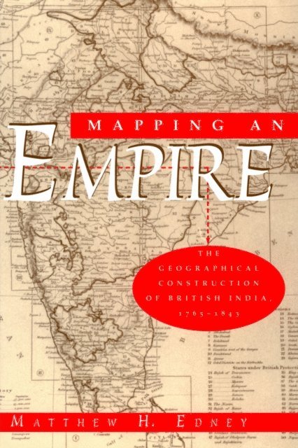


Du kanske också är intresserad av
- Signerad!
- Signerad!
Del 2
SIGNERAD - Kopians hämnd
IJustWantToBeCool, Joel Adolphson, Emil Ejdemo Beer, Victor Beer
Inbunden, 2026
189 kr
- 4 för 3
- Nyhet
Allt jag önskar att jag hade vetat om min kropp : Det ingen berättade men alla borde känna till
Monika Björn
Inbunden, 2026
299 kr
- 4 för 3
- 4 för 3
Del 1
- -30%
Del 1