
Narges Kariminejad – författare
Visar alla böcker från författaren . Handla med fri frakt och snabb leverans.
4 produkter
4 produkter
Häftad, Engelska, 2024
1 776 kr
Skickas inom 10-15 vardagar
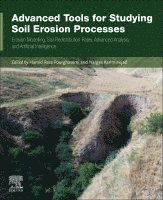
Advanced Tools for Studying Soil Erosion Processes: Erosion Modelling, Soil Redistribution Rates, Advanced Analysis, and Artificial Intelligence presents the most recent technologies and methods in quantifying soil erosion, focusing on quantitative geomorphological assessment, soil erosion interaction with natural and man-made hazards using new methods, and technologies that employ GIS, remote sensing (RS), spatial modeling, and machine learning tools as an effective plan for decision-makers and land users.Organized into three parts: 1) Erosion processes and impacts, 2) Advanced computing techniques to quantify soil erosion, and 3) Methods of Soil Erosion, this book will be an invaluable source material for researchers, academicians, graduate and undergraduate students, and professionals in the field of geology, specifically focused on geographic information systems and remote sensing.Provides an overview of soil erosion and its interaction with natural hazards (i.e., geological, hydrological, meteorological, and biological)Introduces advanced tools and technologies in soil erosion managementPresents future soil erosion opportunities and challenges
E-bok
Engelska, 20242 528 kr
Läs direkt efter köp
Advanced Tools for Studying Soil Erosion Processes: Erosion Modelling, Soil Redistribution Rates, Advanced Analysis, and Artificial Intelligence presents the most recent technologies and methods in quantifying soil erosion, focusing on quantitative geomorphological assessment, soil erosion interaction with natural and man-made hazards using new methods, and technologies that employ GIS, remote sensing (RS), spatial modeling, and machine learning tools as an effective plan for decision-makers and land users.Organized into three parts: 1) Erosion processes and impacts, 2) Advanced computing techniques to quantify soil erosion, and 3) Methods of Soil Erosion, this book will be an invaluable source material for researchers, academicians, graduate and undergraduate students, and professionals in the field of geology, specifically focused on geographic information systems and remote sensing.- Provides an overview of soil erosion and its interaction with natural hazards (i.e., geological, hydrological, meteorological, and biological)- Introduces advanced tools and technologies in soil erosion management- Presents future soil erosion opportunities and challenges
Häftad, Engelska, 2025
1 726 kr
Skickas inom 10-15 vardagar
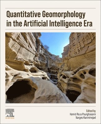
Quantitative Geomorphology in the Artificial Intelligence Era: Applications of AI for Earth and Environmental Change focuses on bridging the gaps in this emerging discipline, it delves into the complex interplay between landforms and the processes that shape them, offering innovative solutions through AI and data-driven methods. The book addresses the standards, quality assessment of data, spatial and temporal analysis tools, and rigorous validation techniques in geomorphology. It uses computational intelligence as a pivotal tool alongside GIS, remote sensing, and other advanced technologies. Readers will find a holistic resource that fosters collaboration and knowledge exchange among geological fields, aiming to address geomorphological challenges, hazards, and solutions. By harnessing AI, GIS, remote sensing, machine learning, and geophysical techniques, it offers new dimensions to existing assessment methods and techniques.Applies quantitative geomorphology techniques to different geological topics through interdisciplinary practicesAddresses the use of high and very-high resolution satellite imagery in geomorphic research for monitoring and assessment of quantitative geomorphologyProvides guidance on quantitative techniques for assessing anthropogenic influences on natural materials and Earth processes
E-bok
Engelska, 20252 184 kr
Läs direkt efter köp
Quantitative Geomorphology in the Artificial Intelligence Era: Applications of AI for Earth and Environmental Change focuses on bridging the gaps in this emerging discipline, it delves into the complex interplay between landforms and the processes that shape them, offering innovative solutions through AI and data-driven methods. The book addresses the standards, quality assessment of data, spatial and temporal analysis tools, and rigorous validation techniques in geomorphology. It uses computational intelligence as a pivotal tool alongside GIS, remote sensing, and other advanced technologies. Readers will find a holistic resource that fosters collaboration and knowledge exchange among geological fields, aiming to address geomorphological challenges, hazards, and solutions. By harnessing AI, GIS, remote sensing, machine learning, and geophysical techniques, it offers new dimensions to existing assessment methods and techniques. - Applies quantitative geomorphology techniques to different geological topics through interdisciplinary practices- Addresses the use of high and very-high resolution satellite imagery in geomorphic research for monitoring and assessment of quantitative geomorphology- Provides guidance on quantitative techniques for assessing anthropogenic influences on natural materials and Earth processes