
Hamid Reza Pourghasemi – författare
1 814 kr
Skickas inom 10-15 vardagar
Spatial Modeling in GIS and R for Earth and Environmental Sciences offers an integrated approach to spatial modelling using both GIS and R. Given the importance of Geographical Information Systems and geostatistics across a variety of applications in Earth and Environmental Science, a clear link between GIS and open source software is essential for the study of spatial objects or phenomena that occur in the real world and facilitate problem-solving. Organized into clear sections on applications and using case studies, the book helps researchers to more quickly understand GIS data and formulate more complex conclusions.
The book is the first reference to provide methods and applications for combining the use of R and GIS in modeling spatial processes. It is an essential tool for students and researchers in earth and environmental science, especially those looking to better utilize GIS and spatial modeling.
Offers a clear, interdisciplinary guide to serve researchers in a variety of fields, including hazards, land surveying, remote sensing, cartography, geophysics, geology, natural resources, environment and geography Provides an overview, methods and case studies for each application Expresses concepts and methods at an appropriate level for both students and new users to learn by example
2 439 kr
Läs direkt efter köp
1 565 kr
Skickas inom 10-15 vardagar
2 190 kr
Läs direkt efter köp
2 759 kr
Läs direkt efter köp
1 938 kr
Skickas inom 10-15 vardagar
Computers in Earth and Environmental Sciences: Artificial Intelligence and Advanced Technologies in Hazards and Risk Management addresses the need for a comprehensive book that focuses on multi-hazard assessments, natural and manmade hazards, and risk management using new methods and technologies that employ GIS, artificial intelligence, spatial modeling, machine learning tools and meta-heuristic techniques. The book is clearly organized into four parts that cover natural hazards, environmental hazards, advanced tools and technologies in risk management, and future challenges in computer applications to hazards and risk management.
Researchers and professionals in Earth and Environmental Science who require the latest technologies and advances in hazards, remote sensing, geosciences, spatial modeling and machine learning will find this book to be an invaluable source of information on the latest tools and technologies available.
Covers advanced tools and technologies in risk management of hazards in both the Earth and Environmental Sciences Details the benefits and applications of various technologies to assist researchers in choosing the most appropriate techniques for purpose Expansively covers specific future challenges in the use of computers in Earth and Environmental Science Includes case studies that detail the applications of the discussed technologies down to individual hazards
1 776 kr
Skickas inom 10-15 vardagar
2 528 kr
Läs direkt efter köp
1 726 kr
Skickas inom 10-15 vardagar
2 184 kr
Läs direkt efter köp

1 829 kr
Kommande
1 081 kr
Skickas inom 10-15 vardagar
1 416 kr
Läs direkt efter köp
1 081 kr
Skickas inom 10-15 vardagar
1 619 kr
Skickas inom 10-15 vardagar
2 049 kr
Läs direkt efter köp
Discusses major topics such as forest health assessment, estimating forest biomass & carbon stock, land use forest cover (LUFC), dynamic vegetation modeling (DVM) approaches, forest-based rural livelihood, habitat suitability analysis, biodiversity and ecology, and biodiversity, the book presents novel advances and applications of RS-GIS and R in a precise and clear manner.
By offering insights into various concepts and their importance for real-world applications, it equips researchers, professionals, and policy-makers with the knowledge and skills to tackle a wide range of issues related to geographic data, including those with scientific, societal, and environmental implications.
1 619 kr
Skickas inom 10-15 vardagar
1 726 kr
Skickas inom 10-15 vardagar
2 207 kr
Läs direkt efter köp
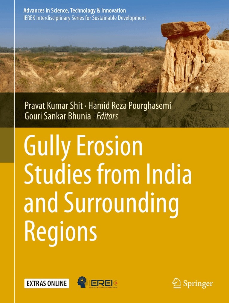
The book demonstrates the geospatial technology approach to data mining techniques, data analysis, modeling, risk assessment, visualization, and management strategies in different aspects of natural and social hazards. This book has 25 chapters associated with risk assessment, mapping and management strategies of environmental hazards. It covers major topics such as Landslide Susceptibility, Arsenic Contaminated Groundwater, Earthquake Risk Management, Open Cast Mining, Soil loss, Flood Susceptibility, Forest Fire Risk, Malaria prevalence, Flood inundation, Socio-Economic Vulnerability, River Bank Erosion, and Socio-Economic Vulnerability. The content of this book will be of interest to researchers, professionals, and policymakers, whose work involves environmental hazards and related solutions.
1 726 kr
Skickas inom 10-15 vardagar
1 940 kr
Skickas inom 10-15 vardagar
2 524 kr
Läs direkt efter köp
Floods and flash floods with hydro-meteorological and tropical cyclones are the some of the most devastating natural disasters causing massive damages to natural and man-made features. Flood hazards are a major threat to human life, properties (agricultural area, yield production, building and homes) and infrastructures (bridges, roads, railways, urban infrastructures, etc). Flood hazards susceptibility mapping (risk assessment) and modelling is an essential step for early warning systems, emergency services, prevention and mitigation of future environmental and social hazards and implementation of risk management strategies. Due to the lack of proper information, technology-based policies and strategies, mapping and modelling can often not be implemented to the best possible level. Geo-spatial techniques have enjoyed rising interest in recent decades among the earth environmental and social sciences research communities for their powerful ability to solve and understand various complex problems and develop novel approaches toward sustainable earth and human society.
By linking geo-spatial computational intelligence techniques with societal and environmental-oriented problems, this book demonstrates geospatial technology approaches to data mining techniques, data analysis, modelling, risk assessment and visualization and management strategies in different aspects of flood hazards. We believe that a diverse group of academics, scientists, geographers, hydrologist, remote sensing and GIS expertise, environmentalists, meteorologists and computing experts with a common interest in geospatial sciences within the earth environmental sciences and humanistic and social sciences will find this book to be of great value.
1 940 kr
Skickas inom 10-15 vardagar
1 404 kr
Skickas inom 10-15 vardagar

1 733 kr
Läs direkt efter köp