Inbunden, Engelska, 2019
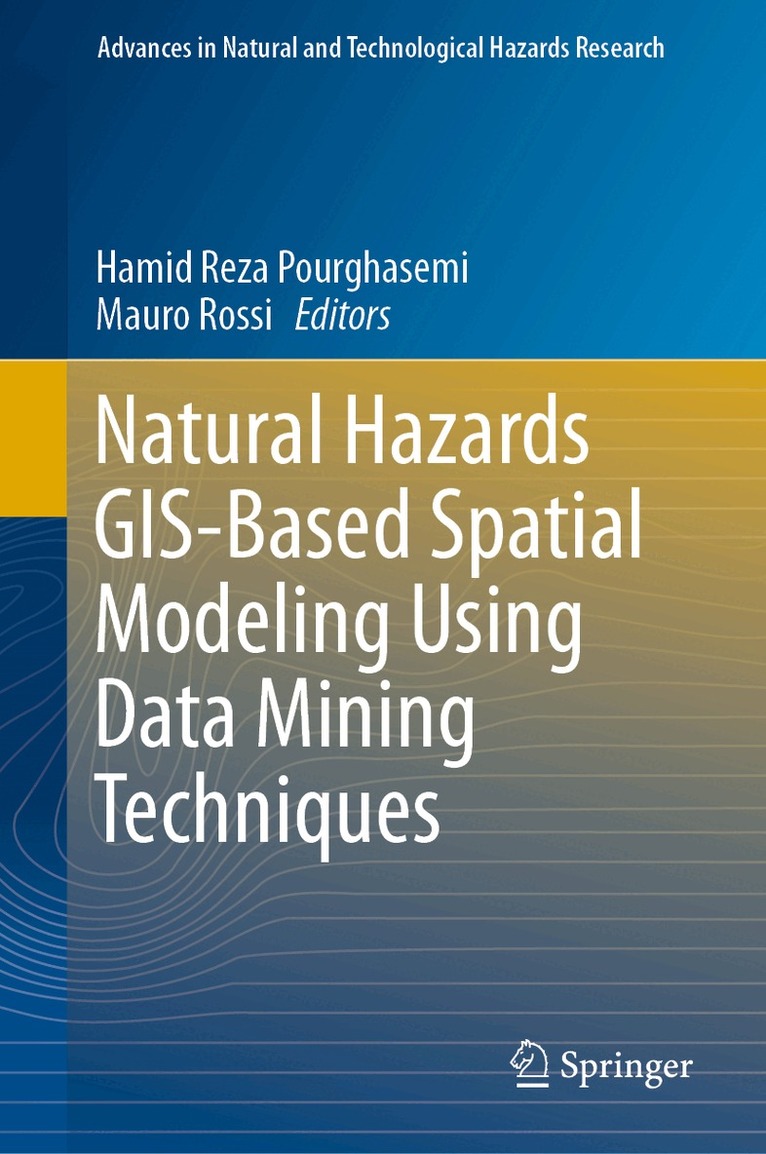
Natural Hazards GIS-Based Spatial Modeling Using Data Mining Techniques
Av Hamid Reza Pourghasemi, Mauro Rossi
Del 48 i serien Advances in Natural and Technological Hazards Research
1405 kr
Beställningsvara. Skickas inom 10-15 vardagar. Fri frakt över 249 kr.
Beskrivning
Produktinformation
- Utgivningsdatum: 2019-01-24
- Mått: 155 x 235 x 22 mm
- Vikt: 653 g
- Format: Inbunden
- Språk: Engelska
- Serie: Advances in Natural and Technological Hazards Research
- Antal sidor: 296
- Förlag: Springer International Publishing AG
- ISBN: 9783319733821
Utforska kategorier
Mer om författaren
Hamid Reza Pourghasemi is an Assistant Professor of Watershed Management Engineering in the College of Agriculture, Shiraz University, Iran. He has a BSc (2004) in watershed management engineering from the University of Gorgan, Iran, a MSc (2008) in watershed management engineering and a PhD degree (2014) in watershed management engineering from Tarbiat Modares University, Iran. His main research interests are GIS-based spatial modelling using machine learning/data mining techniques in different fields such as landslide susceptibility and hazard, flood, gully erosion, forest fire, and groundwater. Also, Hamid Reza works on multi-criteria decision-making methods in natural resources and environment. He has published more than 70 research papers in different international journals (h-index 17). Mauro Rossi is a Research Scientist from the “Consiglio Nazionale delle Ricerche” (CNR) in Roma, Italy. He is pursuing his research at the “Istituto di Ricerca per laProtezione Idrogeologica” (IRPI) in Perugia, Italy. He has diversified research interests mainly focused on mapping, modelling and forecasting of landslides, floods and erosion processes in different geo-environmental and anthropic contexts. Mauro Rossi has developed (i) new methodologies for statistical and deterministic analysis of the susceptibility and hazard posed by different geo-hydrological phenomena and for the estimation of their impacts, (ii) new approaches to the definition of rainfall thresholds for triggering Landslides, (iii) early warning systems, (iv) approaches to the design optimal models for estimating landslide susceptibility and for the assessment of social risk posed by landslides and floods. He has also developed specific software for the landslide susceptibility modelling, for the landslide magnitude modelling and for the joint modelling of landslides and erosion processes in relation to different scenarios of geomorphological, climatic, vegetation and anthropic changes, in order to adequately characterize the hill slopes and the hydrological basins dynamics. He has published more than 150 research papers in many international journals (h-index 31).
Betyg & recensioner
0 recensioner
Inga recensioner tillgängliga.