
National Parks UK – författare
Visar alla böcker från författaren . Handla med fri frakt och snabb leverans.
13 produkter
13 produkter

Engelska, 2022
55 kr
Skickas
Explore the National Parks with this handy pocket map.Handy little full colour map and guide of New Forest National Park. Detailed mapping and visitor information to the National Park along with a selection of photographs.This small map with additional text and photographs gives a great overview of the New Forest National Park, and is the perfect companion for exploring this beautiful area of Southern England. Clear, detailed mappingKey park, tourist and travel informationIdeal for planning visits to the National ParkIndex to help locate and plan your trip
Häftad, Engelska, 2021
91 kr
Skickas
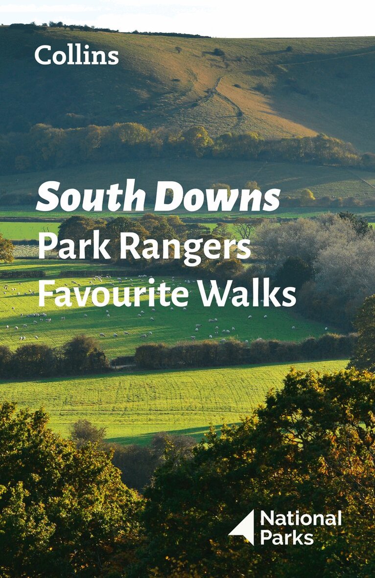
Walking guide to the South Downs National Park, with 20 best routes chosen by the park rangers. Each walk varies in length from 2 to 10 km and can be completed in less than 4 hours.20 best routes chosen and written by National Park rangers Walks from 2 to 10kmDetailed description for each walk with highlights clearly marked on the map along with an accompanying map and photographsGeneral information about the National Park plus basic advice on walkingThis and the South Downs National Park Pocket Map (ISBN: 9780008439200) are the perfect companions for exploring this superb walking area of South East England.
Häftad, Engelska, 2022
91 kr
Skickas
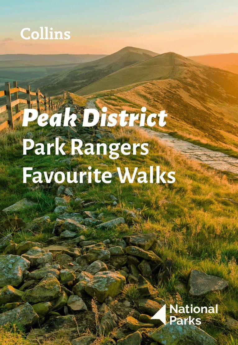
The perfect companions for exploring the National Parks.Walking guide to the Peak District National Park, with 20 best routes chosen by the park rangers. Each walk varies in length from 2 to 10 km and can be completed in less than 4 hours.20 best routes chosen and written by National Park rangers Walks from 2 to 10kmDetailed description for each walk with highlights clearly marked on the map along with an accompanying map and photographsGeneral information about the National Park plus basic advice on walkingThis and the Peak District National Park Pocket Map (ISBN: 9780008439217) are the perfect companions for exploring this superb walking area of England.
Häftad, Engelska, 2021
91 kr
Skickas
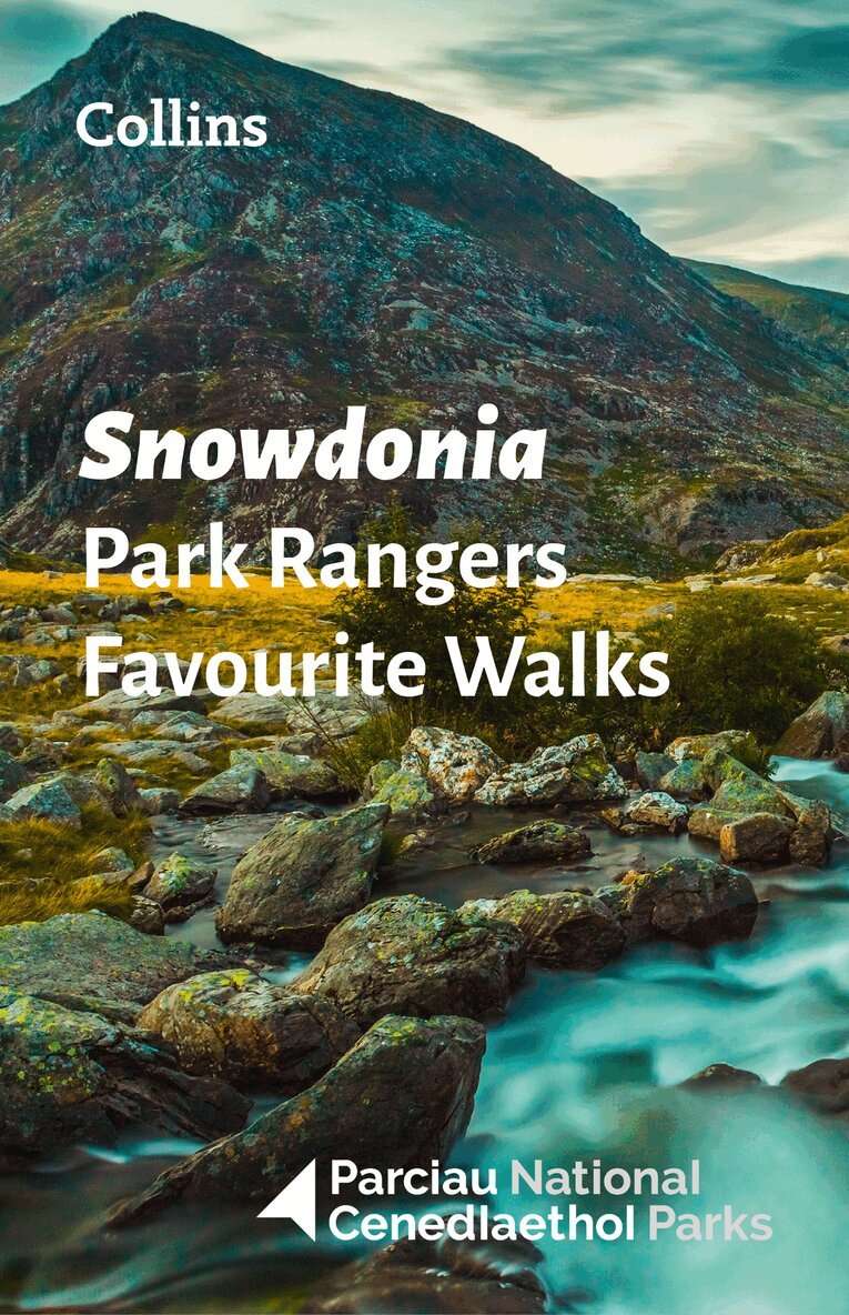
Walking guide to the Snowdonia National Park, with 20 best routes chosen by the park rangers. Each walk varies in length from 2 to 10 km and can be completed in less than 4 hours.20 best routes chosen and written by National Park rangers Walks from 2 to 10kmDetailed description for each walk with highlights clearly marked on the map along with an accompanying map and photographsGeneral information about the National Park plus basic advice on walkingThis and the Snowdonia National Park Pocket Map (ISBN: 9780008439224) are the perfect companions for exploring this superb walking area of North Wales.
Häftad, Engelska, 2022
89 kr
Skickas
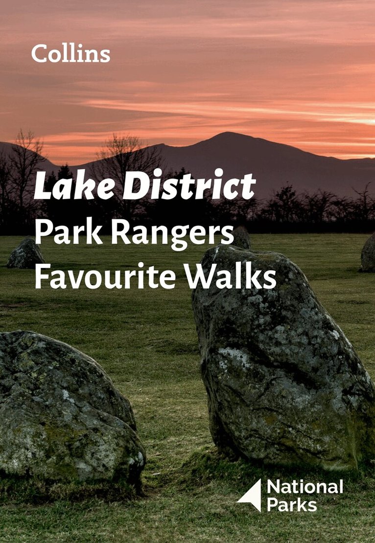
The perfect companions for exploring the National Parks.Walking guide to the Lake District National Park, with 20 best routes chosen by the park rangers. Each walk varies in length from 2 to 10 km and can be completed in less than 4 hours.20 best routes chosen and written by National Park rangers Walks from 2 to 10kmDetailed description for each walk with highlights clearly marked on the map along with an accompanying map and photographsGeneral information about the National Park plus basic advice on walkingThis and the Lake District National Park Pocket Map (ISBN: 9780008462673) are the perfect companions for exploring this superb walking area of Northwest England.
Engelska, 2021
152 kr
Skickas inom 3-6 vardagar
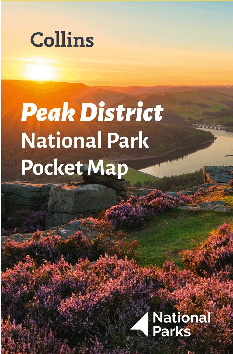
Handy little full-colour map and guide of Peak District National Park. Detailed mapping and visitor information to the National Park along with a selection of photographs. Map at a scale of 1:120 000 (1cm to 1.20km, 1.9 miles to 1 inch).This small map with additional text and photographs gives a great overview of the Peak District National Park, and is the perfect companion for exploring this beautiful area of England. Clear, detailed mappingKey park, tourist and travel informationIdeal for planning visits to the National ParkIndex to help locate and plan your tripInformation on the Pennine Way, Stanage-North Lees, caving activities and other places of interestDiscover more about the walking routes at this National Park with the Peak District Park Rangers Favourite Walks (ISBN: 9780008439125).
Engelska, 2022
55 kr
Skickas
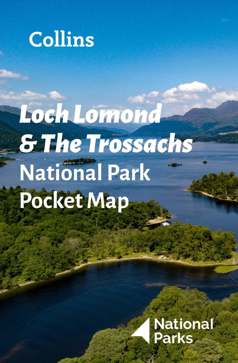
Explore the National Parks with this handy pocket map.Handy little full colour map and guide of Loch Lomond National Park. Detailed mapping and visitor information to the National Park along with a selection of photographs.This small map with additional text and photographs gives a great overview of the Loch Lomond National Park, and is the perfect companion for exploring this beautiful area of Scotland. Clear, detailed mappingKey park, tourist and travel informationIdeal for planning visits to the National ParkIndex to help locate and plan your trip
Engelska, 2022
55 kr
Skickas
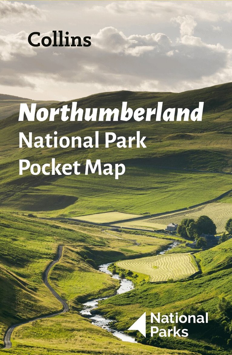
Explore the National Parks with this handy pocket map.Handy little full colour map and guide of Northumberland National Park. Detailed mapping and visitor information to the National Park along with a selection of photographs.This small map with additional text and photographs gives a great overview of the Northumberland National Park, and is the perfect companion for exploring this beautiful area of Northern England. Clear, detailed mappingKey park, tourist and travel informationIdeal for planning visits to the National ParkIndex to help locate and plan your trip
Häftad, Engelska, 2022
91 kr
Skickas
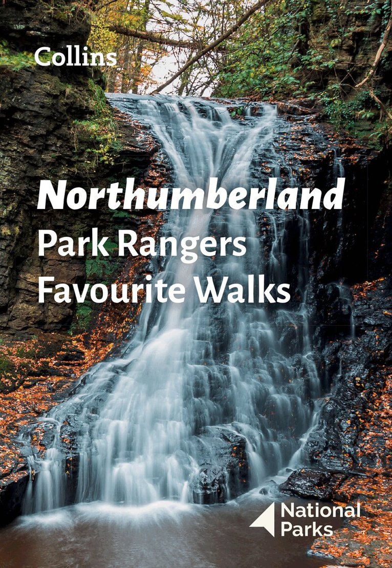
The perfect companions for exploring the National Parks.Walking guide to the Northumberland National Park, with 20 best routes chosen by the park rangers. Each walk varies in length from 2 to 10 km and can be completed in less than 4 hours.20 best routes chosen and written by National Park rangers Walks from 2 to 10kmDetailed description for each walk with highlights clearly marked on the map along with an accompanying map and photographsGeneral information about the National Park plus basic advice on walkingThis and the Northumberland National Park Pocket Map (ISBN: 9780008462703) are the perfect companions for exploring this superb walking area of the North East.
Engelska, 2022
62 kr
Tillfälligt slut
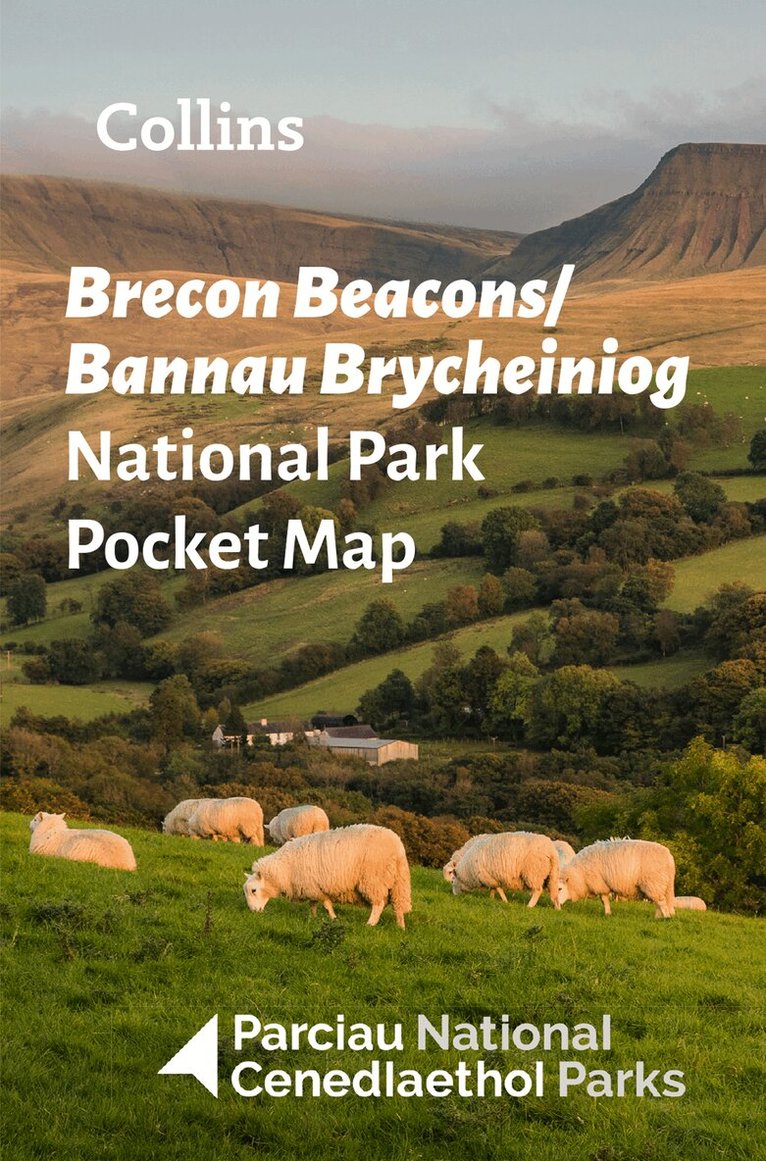
Explore the National Parks with this handy pocket map.Handy little full colour map and guide of Bannau Brycheiniog (Brecon Beacons) National Park. Detailed mapping and visitor information to the National Park along with a selection of photographs.This small map with additional text and photographs gives a great overview of the Bannau Brycheiniog (Brecon Beacons National Park), and is the perfect companion for exploring this beautiful area of Wales. Clear, detailed mappingKey park, tourist and travel informationIdeal for planning visits to the National ParkIndex to help locate and plan your trip
Engelska, 2021
60 kr
Tillfälligt slut
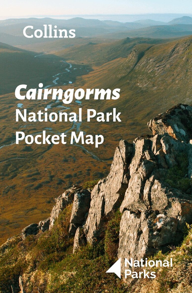
Handy little full colour map and guide of Cairngorms National Park. Detailed mapping and visitor information to the National Park along with a selection of photographs. Map at a scale of 1:91,000 (1.45 miles to 1 inch or 0.91 km to 1 cm).This small map with additional text and photographs gives a great overview of the Cairngorms National Park, and is the perfect companion for exploring this beautiful area of the Scottish Highlands. Clear, detailed mappingKey park, tourist and travel informationIdeal for planning visits to the National ParkIndex to help locate and plan your trip
Engelska, 2021
62 kr
Tillfälligt slut
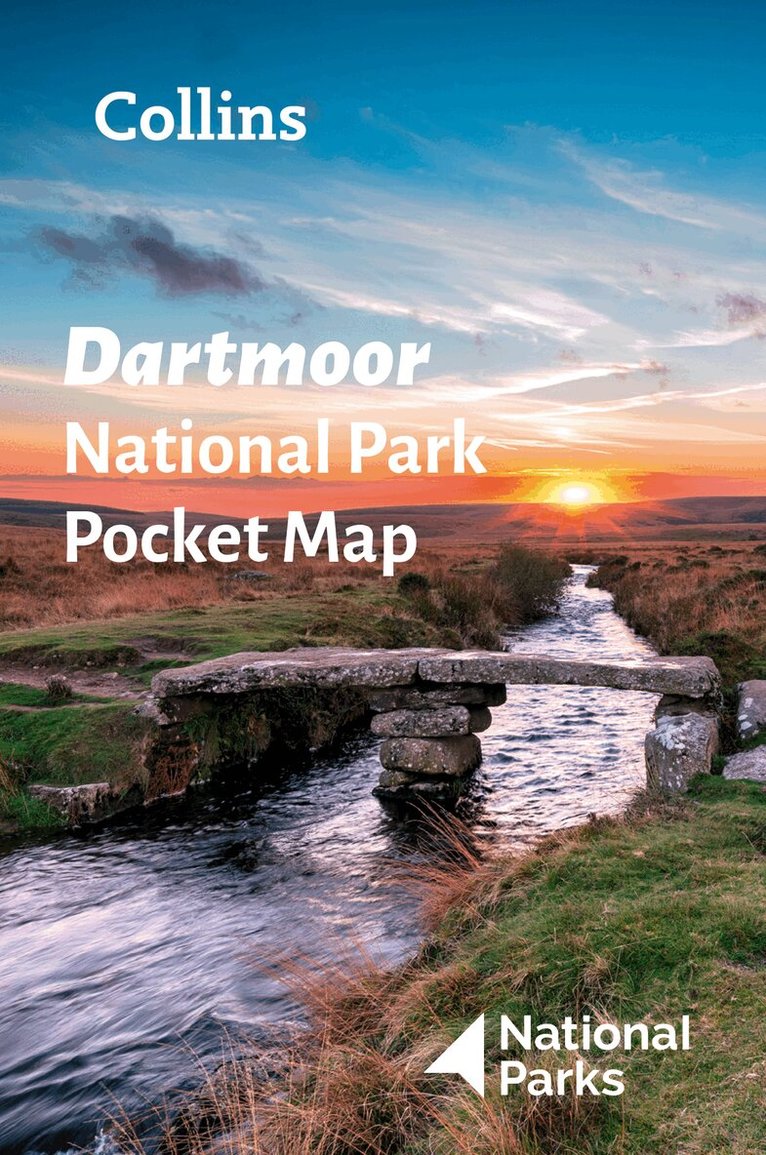
Handy little full-colour map and guide of Dartmoor National Park. Detailed mapping and visitor information to the National Park along with a selection of photographs. Map at a scale of 1:105,000 (1.68 miles to 1 inch or 1.05 km to 1cm).This small map with additional text and photographs gives a great overview of the Dartmoor National Park, and is the perfect companion for exploring this beautiful area of Southern England. Clear, detailed mappingKey park, tourist and travel informationIdeal for planning visits to the National ParkIndex to help locate and plan your trip
Engelska, 2021
62 kr
Tillfälligt slut
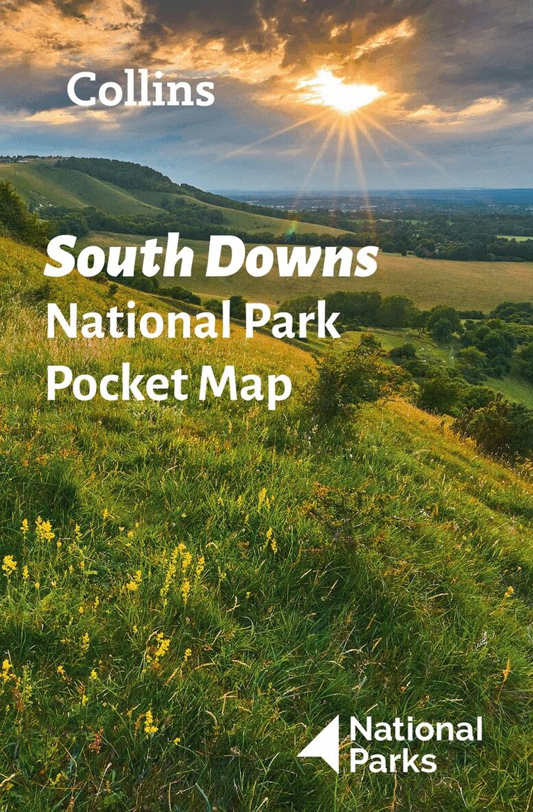
Handy little full colour map and guide of South Downs National Park.Detailed mapping and visitor information to the National Park along with a selection of photographs. Map at a scale of 1:125 000 (1cm to 1.25km, 2.0 miles to 1 inch).This small map with additional text and photographs gives a great overview of the South Downs National Park, and is the perfect companion for exploring this beautiful area of South East England. Clear, detailed mappingKey park, tourist and travel informationIdeal for planning visits to the National ParkIndex to help locate and plan your trip· Information on the South Downs Way, Miles Without Stiles routes, the Seven Sisters and other places of interestDiscover more about the walking routes at this National Park with the South Downs Park Rangers Favourite Walks (ISBN: 9780008439118).