
Tomáš Inspektor – författare
1 082 kr
Skickas inom 10-15 vardagar
1 416 kr
Läs direkt efter köp
1 082 kr
Skickas inom 10-15 vardagar
1 416 kr
Läs direkt efter köp
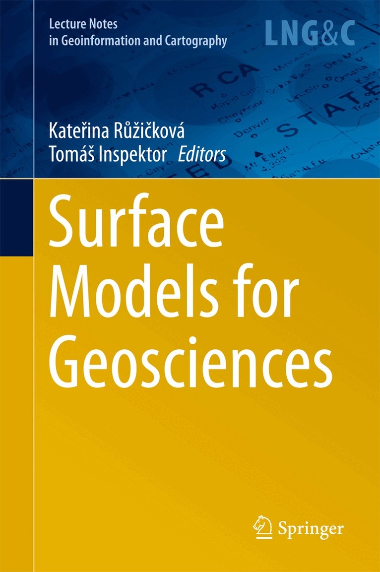
The aim of the conference is to present and discuss new methods, issues and challenges encountered in all parts of the complex process of gradual development and application of digital surface models. This process covers data capture, data generation, storage, model creation, validation, manipulation, utilization and visualization. Each stage requires suitable methods and involves issues that may substantially decrease the value of the model.
Furthermore, the conference provides a platform to discuss the requirements, features and research approaches for 3D modeling, continuous field modeling and other geoscience applications.
The conference covers the following topics:- LIDAR for elevation data- Radar interferometry for elevation data- Surface model creation- Surface model statistics- Surface model storage (including data formats, standardization, database)- Feature extraction- Analysis of surface models- Surface models for hydrology, meteorology, climatology- Surface models for signal spreading- Surface models for geology (structural, mining)- Surface models for environmental science- Surface models for visibility studies- Surface models for urban geography- Surface models for human geography- Uncertainty of surface models and digital terrain analysis- Surface model visual enhancement and rendering
1 082 kr
Skickas inom 10-15 vardagar
1 082 kr
Skickas inom 10-15 vardagar
2 479 kr
Skickas inom 10-15 vardagar
3 157 kr
Läs direkt efter köp
This edited volume gathers the proceedings of the Symposium GIS Ostrava 2016, the Rise of Big Spatial Data, held at the Technical University of Ostrava, Czech Republic, March 16–18, 2016. Combining theoretical papers and applications by authors from around the globe, it summarises the latest research findings in the area of big spatial data and key problems related to its utilisation.
Welcome to dawn of the big data era: though it’s in sight, it isn’t quite here yet. Big spatial data is characterised by three main features: volume beyond the limit of usual geo-processing, velocity higher than that available using conventional processes, and variety, combining more diverse geodata sources than usual. The popular term denotes a situation in which one or more of these key properties reaches a point at which traditional methods for geodata collection, storage, processing, control, analysis, modelling, validation and visualisation fail to provide effective solutions.
>Entering the era of big spatial data calls for finding solutions that address all “small data” issues that soon create “big data” troubles. Resilience for big spatial data means solving the heterogeneity of spatial data sources (in topics, purpose, completeness, guarantee, licensing, coverage etc.), large volumes (from gigabytes to terabytes and more), undue complexity of geo-applications and systems (i.e. combination of standalone applications with web services, mobile platforms and sensor networks), neglected automation of geodata preparation (i.e. harmonisation, fusion), insufficient control of geodata collection and distribution processes (i.e. scarcity and poor quality of metadata and metadata systems), limited analytical tool capacity (i.e. domination of traditional causal-driven analysis), low visual system performance, inefficient knowledge-discovery techniques (for transformation of vast amounts of information into tiny and essential outputs) and much more. These trends are accelerating as sensors become more ubiquitous around the world.

2 157 kr
Skickas inom 10-15 vardagar
2 840 kr
Läs direkt efter köp
2 479 kr
Skickas inom 10-15 vardagar
2 157 kr
Skickas inom 10-15 vardagar