
2000 Series – serie
Visar alla böcker i serien 2000 Series. Handla med fri frakt och snabb leverans.
4 produkter
4 produkter
Engelska, 2022
956 kr
Skickas
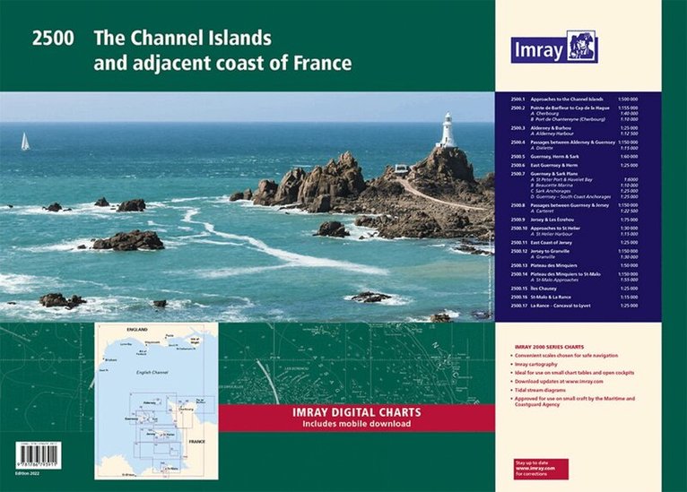
A convenient A2 format chart pack of the Channel Islands and the adjacent coast of France provided in a sturdy plastic wallet. This fully revised edition includes the latest official UKHO Digital, combined with additional information sourced from Imray's network to make it ideal for small craft. The chart pack includes all the navigational charts and tidal Digital for passage, approach and mooring. This edition has been reschemed to show passage from as far East as Saint-Vaast-la-Hougue and Barfleur. The harbour plan of Port de Chantereyne (Cherbourg) has been extended so show greater approach detail. There has been general updating throughout. This product is also available wiro bound, please use code IC2500-4W. 2500.1 Approaches to the Channel Islands 1: 500 000 WGS 84 2500.2 Pointe de Barfleur to Cap de la Hague 1: 155 000 WGS 84 Plans Cherbourg (1:40 000), Port de Chantereyne (Cherbourg) (1:10 000) 2500.3 Alderney & Burhou 1: 25 000 WGS 84 Plan Alderney Harbour (1:12 500) 2500.4 Passages Between Alderney & Guernsey 1: 150 000 WGS 84 Plan Diélette (1:15 000) 2500.5 Guernsey, Herm & Sark 1: 60 000 WGS 84 2500.6 East Guernsey & Herm 1: 25 000 WGS 84 2500.7 Guernsey & Sark Plans 1: various WGS 84 Plans St Peter Port & Havelet Bay (1:6000), Beaucette Marina (1:10 000), Sark Anchorages (1:25 000), Guernsey - South Coast Anchorages (1:25 000) 2500.8 Passages between Guernsey & Jersey 1: 150 000 WGS 84 Plan Carteret (1:22 500) 2500.9 Jersey & Les Écrehou 1: 75 000 WGS 84 2500.10 Approaches to St Helier 1: 30 000 WGS 84 Plan St Helier Harbour (1:15 000) 2500.11 East Coast of Jersey 1: 25 000 WGS 84 2500.12 Jersey to Granville 1: 150 000 WGS 84 Plan Granville (1:30 000) 2500.13 Plateau des Minquiers 1: 50 000 WGS 84 2500.14 Plateau des Minquiers to St-Malo 1: 150 000 WGS 84 Plan St-Malo Approaches (1:55 000) 2500.15 Îles Chausey 1: 25 000 WGS 84 2500.16 St-Malo & La Rance 1: 15 000 WGS 84 2500.17 La Rance - Cancaval to Lyvet 1: 25 000 WGS 84 A voucher code to download ID20 Imray English Channel charts into Imray Navigator (our app for iPad, iPhone and Android) is included with this chart pack.
956 kr
Skickas
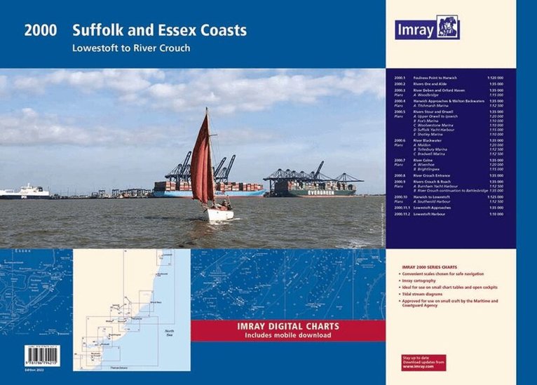
The pack includes: A convenient A2 format chart pack of Suffolk and Essex Coasts covering the waters from the River Crouch to Lowestoft. The pack is provided in a sturdy plastic wallet. This fully revised and extended edition of our popular 2000 Suffolk and Essex Coasts chart pack has been redesigned and expanded to 11 sheets, including improved coverage of Lowestoft and its approaches. The latest official UKHO Digital has been used and combined with additional information sourced from Imray's network to make it ideal for small craft. The chart pack includes all the navigational charts and tidal Digital for passage, approach, and mooring, and is designed to be used alongside East Coast Pilot by Garth Cooper and Dick Holness. 2000.1 Foulness Point to Harwich (1:120 000) 2000.2 Rivers Ore and Alde (1:35 000) 2000.3 River Deben and Orford Haven (1:35 000) Plan: Woodbridge (1:15 000) 2000.4 Harwich Approaches and Walton Backwaters (1:35 000) Plan: Titchmarsh Marina (1:12 500) 2000.5 Rivers Stour and Orwell (1:35 000) Plans: Upper Orwell to Ipswich (1:20 000), Fox's Marina (1:10 000), Woolverstone Marina (1:10 000), Suffolk Yacht Harbour (1:15 000), Shotley Marina (1:10 000) 2000.6 River Blackwater (1:35 000) Plans: Maldon (1:20 000), Tollesbury Marina (1:12 500), Bradwell Marina (1:12 500) 2000.7 River Colne (1:35 000) Plans: Wivenhoe (1:20 000), Brightlingsea (1:15 000) 2000.8 River Crouch Entrance (1:35 000) 2000.9 Rivers Crouch & Roach (1:35 000) Plans: Burnham Yacht Harbour (1:12 500), River Crouch continuation to Battlesbridge (1:35 000) 2000.10 Harwich to Lowestoft (1:125 000) Plan: Southwold Harbour (1:12 500) 2000.11 Lowestoft Approaches (1:35 000) Plan: Lowestoft Harbour (1:10 000) Imray Digital Charts: Free mobile download A voucher code to download the relevant Imray digital charts into our Imray Navigator app is included with this atlas.
956 kr
Skickas
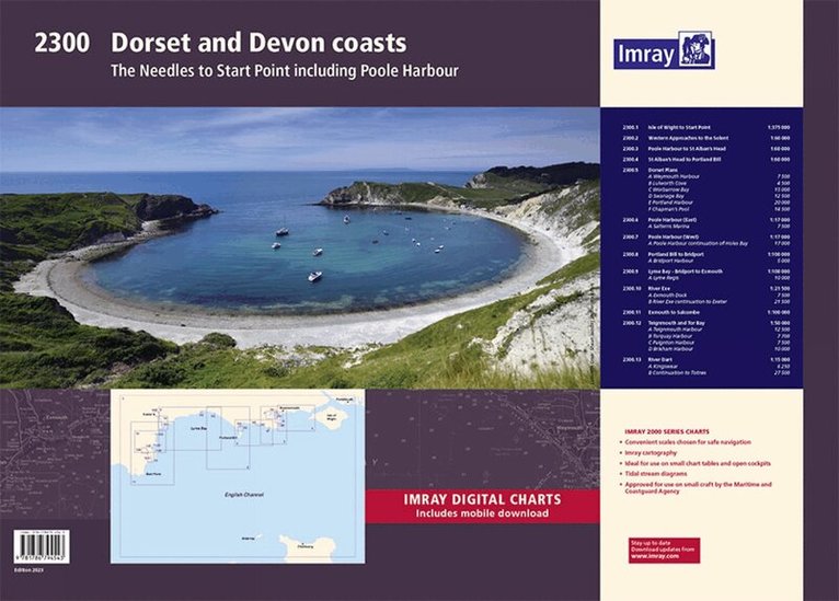
A convenient A2 format chart pack of Dorset and Devon Coasts covering waters from the River Dart to the western approaches to The Solent. The pack is provided in a sturdy plastic wallet. This fully revised and extended edition of our popular 2300 Dorset and Devon Coasts chart pack has been redesigned and expanded to 13 sheets and includes improved coastal coverage throughout. The latest official UKHO Digital has been used and combined with additional information sourced from Imray's network to make it ideal for small craft. The chart pack includes all the navigational charts and tidal Digital for passage, approach, and mooring, and is designed to be used alongside The Shell Channel Pilot by Tom Cunliffe. 2300.1 Isle of Wight to Start Point (1:375 000) 2300.2 Western Approaches to the Solent (1:60 000) 2300.3 Poole Harbour to St Alban's Head (1:60 000) 2300.4 St Alban's Head to Portland Bill (1:60 000) 2300.5 Dorset Plans Plans: Weymouth Harbour (1:7500), Lulworth Cove (1:4500), Worbarrow Bay (1:15 000), Swanage Bay (1:12 500), Portland Harbour (1:20 000), Chapman's Pool (1:14 500) 2300.6 Poole Harbour (East) (1:17 000) Plan: Salterns Marina (1:7500) 2300.7 Poole Harbour (West) (1:17 000) Plan: Poole Harbour continuation of Holes Bay (1:17 000) 2300.8 Portland Bill to Bridport (1:100 000) Plan: Bridport Harbour (1:5000) 2300.9 Lyme Bay - Bridport to Exmouth (1:100 000) Plan: Lyme Regis (1:10 000) 2300.10 River Exe (1:21 500) Plans: Exmouth Dock (1:7500), River Exe continuation to Exeter (1:21 500) 2300.11 Exmouth to Salcombe (1:100 000) 2300.12 Teignmouth & Tor Bay (1:50 000) Plan: Teignmouth Harbour (1:12 500), Torquay Harbour (1:7700), Paignton Harbour (1:7500), Brixham Harbour (1:10 000) 2300.13 River Dart (1:15 000) Plans: Kingswear (1:6250), River Dart continuation to Totnes (1:27 500)
Engelska, 2023
922 kr
Skickas
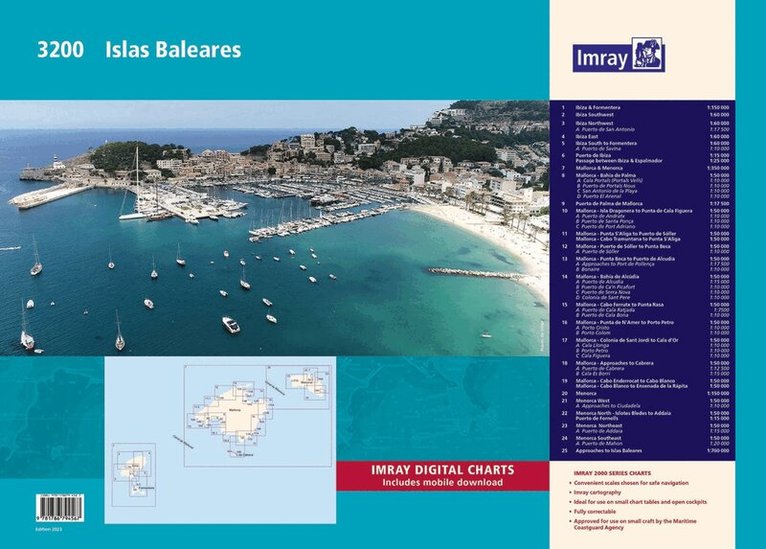
A convenient A2 format chart pack of the Balearic Islands (Ibiza, Formentera, Mallorca, Cabrera, and Menorca) provided in a sturdy plastic wallet. This fully revised edition of our popular 3200 Islas Baleares chart pack consists of 25 sheets. It includes the latest official Instituto Hidrográfico de la Marina Digital, combined with additional information sourced from Imray's network to make it ideal for small craft. The chart pack includes all the navigational charts required for passage, approach, and mooring, and is designed to be used alongside Balearic Islands by Royal Cruising Club Pilotage Foundation. Also available wiro-bound, please refer to stock code IC3200-2W. 3200.1 Ibiza & Formentera (1:150 000) 3200.2 Ibiza Southwest (1:60 000) 3200.3 Ibiza Northwest (1:60 000) Plan: Puerto de San Antonio (1:17 500) 3200.4 Ibiza East (1:60 000) 3200.5 Ibiza South to Formentera (1:60 000) Plan: Puerto de Savina (1:10 000) 3200.6 Puerto de Ibiza (1:15 000) and Passage between Ibiza & Espalmador (1:25 000) 3200.7 Mallorca & Menorca (1:350 000) 3200.8 Mallorca - Bahía de Palma (1:50 000) Plans: Cala Portals (Portals Vells) (1:10 000), Puerto de Portals Nous (1:10 000), San Antonio de la Playa (1:10 000), Puerto El Arenal (1:10 000) 3200.9 Puerto de Palma de Mallorca (1:17 500) 3200.10 Mallorca - Isla Dragonera to Punta de Cala Figuera (1:50 000) Plans: Puerto de Andratx (1:10 000), Puerto de Santa Ponça (1:10 000), Puerto de Port Adriano (1:10 000) 3200.11 Mallorca - Punta S'Aliga to Puerto de Sóller (1:50 000) and Cabo Tramuntana to Punta S'Aliga (1:50 000) 3200.12 Mallorca - Puerto de Sóller to Punta Beca (1:50 000) Plan: Puerto de Sóller (1:10 000) 3200.13 Mallorca - Punta Beca to Puerto de Alcúdia (1:50 000) Plans: Approaches to Port de Pollença (1:17 500), Bonaire (1:10 000) 3200.14 Mallorca - Bahía de Alcúdia (1:50 000) Plans: Puerto de Alcudia (1:15 000), Puerto de Ca'n Picafort (1:10 000), Puerto de Serra Nova (1:10 000), Colonia de Sant Pere (1:10 000) 3200.15 Mallorca - Cabo Ferrutx to Punta Rasa (1:50 000) Plans: Puerto de Cala Ratjada (1:7500), Puerto de Cala Bona (1:10 000) 3200.16 Mallorca - Punta de N'Amer to Porto Petro (1:50 000) Plans: Porto Cristo (1:10 000), Porto Colom (1:10 000) 3200.17 Mallorca - Colonia de Sant Jordi to Cala d'Or (1:50 000) Plans: Cala Llonga (1:10 000), Porto Petro (1:10 000), Cala Figuera (1:10 000) 3200.18 Mallorca - Approaches to Cabrera (1:50 000) Plans: Puerto de Cabrera (1:12 500), Cala Es Borri (1:15 000) 3200.19 Mallorca - Cabo Enderrocat to Cabo Blanco (1:50 000) and Cabo Blanco to Ensenada de la Rápita (1:50 000) 3200.20 Menorca (1:150 000) 3200.21 Menorca West (1:50 000) Plan: Approaches to Ciudadela (1:10 000) 3200.22 Menorca North - Islotes Bledes to Addaia (1:50 000) and Puerto de Fornells (1:15 000) 3200.23 Menorca Northeast (1:50 000) Plan: Puerto de Addaia (1:15 000) 3200.24 Menorca Southeast (1:50 000) Plan: Puerto de Mahón (1:20 000) 3200.25 Approaches to Islas Baleares (1:700 000) Imray Digital Charts: Mobile download A voucher code to download the relevant Imray digital charts into our Imray Navigator app is included with this atlas.