
AA Road Atlas Britain – serie
Visar alla böcker i serien AA Road Atlas Britain. Handla med fri frakt och snabb leverans.
3 produkter
3 produkter

Häftad, Engelska, 2026
189 kr
Skickas
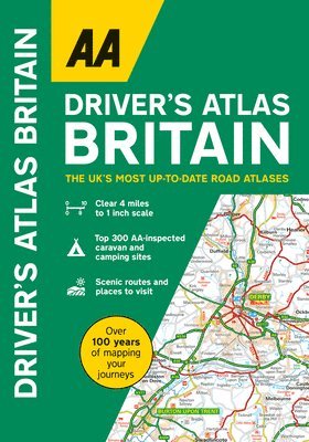
Expertly designed for travellers looking for a giant scale A4 atlas, this atlas is easy-to-use with large-print place names and a super clear index. Each page is also titled with its geographical location so you can turn to the page more easily. Discover wonderful scenic routes and tourist attractions, including National Trust, English, Scottish, Welsh and World Heritage sites, as well as other hard-to-find places and useful locations.There is also a full-colour admin map showing all the latest unitary authority areas, plus a clear 6-page route planning map. The atlas mapping includes helpful information for travelling throughout Britain including places to visit, park & ride locations, over 240 service areas, electric super hub charging points and ferry routes.
Häftad, Engelska, 2023
140 kr
Skickas
A handy, flexibound glovebox sized road atlas in an A5 format. Each page has been titled with its geographical location so that you can turn to the page you need more easily. There is also a full-colour, admin map showing all the latest unitary authority areas, easy-to-use mileage chart and clear easy-to-read index with more than 23,000 place names including airports, top tourist sites and motorway services listed. Wide minor roads (more than and less than 4m wide), National Trust, English and World Heritage sites, crematorium locations and other hard-to-find places are also shown.
Häftad, Engelska, 2023
91 kr
Skickas
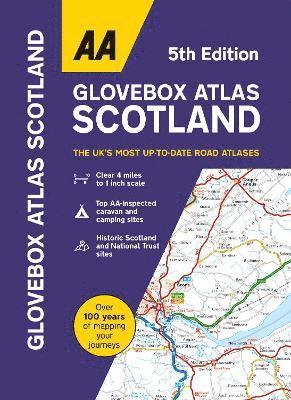
From the experts at the AA, this handy atlas fits in the glovebox of your car, perfect for quick referencing on the move. Including information on route planning, car ferry routes and operators, restricted motorway junctions, county map and a distance chart, this is the perfect glovebox companion for traveling through Scotland. The clear mapping shows a range of features including award winning beaches, football stadia, tourist attractions, waterfalls, service areas, steep gradients and road tolls. Easy to read index including airports, top tourist sites, motorway services and national parks