
Microsatellite Remote Sensing, GNSS, and Applications – serie
Visar alla böcker i serien Microsatellite Remote Sensing, GNSS, and Applications. Handla med fri frakt och snabb leverans.
3 produkter
3 produkter
Inbunden, Engelska, 2025
2 629 kr
Skickas inom 10-15 vardagar
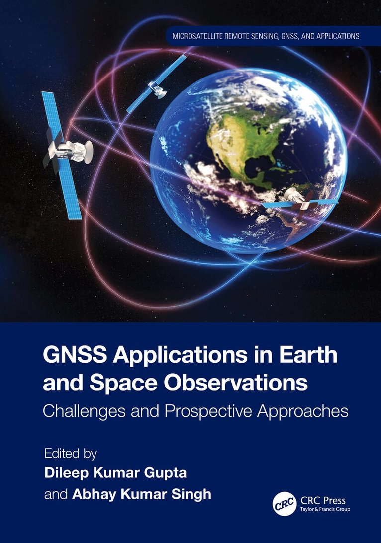
Global Navigation Satellite Systems (GNSSs) have become an essential technology used in navigation, positioning, and timing applications in meteorology, environmental monitoring, disaster management, and space exploration. This comprehensive book explores the various applications of GNSS technology in different fields of Earth and Space observations and provides researchers, professionals, and students valuable insights into these emerging trends. It discusses the challenges that impact the performance of GNSS technology and offers solutions through several case studies on Space weather and climate disasters, opening a different dimension of approaches in various paradigms of GNSS technology.Features:Covers the most up-to-date GNSS applications in three major areas related to Earth and Space observations: climate studies, disaster management, and Space weather monitoringIncludes case studies of best practices in climate studies and disaster managementExplains the impacts of Space weather events on the near-Earth environmentDescribes limitations and future possibilities of better use of GNSS in Earth and Space observation and monitoringHighlights an integrated and interdisciplinary approach valuable to a wide range of readers studying Earth and Space interactionsThis book is a valuable resource for professionals, researchers, academics, and students in Remote Sensing and GIS, Earth Science, Physics and Electronics, Climate Studies, Disaster Management, Geophysics, and Space Science.
- Nyhet
Häftad, Engelska, 2026
872 kr
Skickas inom 10-15 vardagar
Global Navigation Satellite Systems (GNSSs) have become an essential technology used in navigation, positioning, and timing applications in meteorology, environmental monitoring, disaster management, and space exploration. This comprehensive book explores the various applications of GNSS technology in different fields of Earth and Space observations and provides researchers, professionals, and students valuable insights into these emerging trends. It discusses the challenges that impact the performance of GNSS technology and offers solutions through several case studies on Space weather and climate disasters, opening a different dimension of approaches in various paradigms of GNSS technology.Features:Covers the most up-to-date GNSS applications in three major areas related to Earth and Space observations: climate studies, disaster management, and Space weather monitoringIncludes case studies of best practices in climate studies and disaster managementExplains the impacts of Space weather events on the near-Earth environmentDescribes limitations and future possibilities of better use of GNSS in Earth and Space observation and monitoringHighlights an integrated and interdisciplinary approach valuable to a wide range of readers studying Earth and Space interactionsThis book is a valuable resource for professionals, researchers, academics, and students in Remote Sensing and GIS, Earth Science, Physics and Electronics, Climate Studies, Disaster Management, Geophysics, and Space Science.
Inbunden, Engelska, 2026
1 750 kr
Skickas inom 10-15 vardagar
This book is focused on a specialized but important subject of coastal and marine ecosystem management based on remote sensing imageries, such as Synthetic Aperture Radar (SAR) from Sentinel-1, MultiSpectral Instrument (MSI) from Sentinel-2A and Landsat, bathymetry form GEBCO, sea surface temperature (SST) from CMEMS. It includes practical case studies with thematic datasets and clear step-by-step instructions for data processing. Key resources for advanced knowledge on coastal and marine ecosystem conservation, zonation, planning, and management based on satellite imaging data are also presented.FeaturesProvides innovative methods and advanced analytical approaches for processing satellite and radar data tailored to specific applicationsIncludes case studies of best practices in marine studies and coastal disaster management from Indonesia, Japan, Malaysia, Vietnam, and ChinaExplains how to build a new thematic spatial database system and how to develop an individual new thematic algorithmShowcases thematic spatial database systems that serve as the foundation for local and national regulatory frameworks and support international solutions to environmental challengesDescribes limitations and future possibilities for additional studiesThis is a vital resource for professionals, researchers, and students using remote sensing applications in various fields, especially in marine sciences and oceanography.