

Coastal and Marine Spatial Database Systems
Image Processing and Applications
AvAgus Hartoko,Josaphat Sri Sumantyo
Inbunden, Engelska, 2026
1 750 kr
Beställningsvara. Skickas inom 10-15 vardagar. Fri frakt över 249 kr.
Beskrivning
This book is focused on a specialized but important subject of coastal and marine ecosystem management based on remote sensing imageries, such as Synthetic Aperture Radar (SAR) from Sentinel-1, MultiSpectral Instrument (MSI) from Sentinel-2A and Landsat, bathymetry form GEBCO, sea surface temperature (SST) from CMEMS. It includes practical case studies with thematic datasets and clear step-by-step instructions for data processing. Key resources for advanced knowledge on coastal and marine ecosystem conservation, zonation, planning, and management based on satellite imaging data are also presented.FeaturesProvides innovative methods and advanced analytical approaches for processing satellite and radar data tailored to specific applicationsIncludes case studies of best practices in marine studies and coastal disaster management from Indonesia, Japan, Malaysia, Vietnam, and ChinaExplains how to build a new thematic spatial database system and how to develop an individual new thematic algorithmShowcases thematic spatial database systems that serve as the foundation for local and national regulatory frameworks and support international solutions to environmental challengesDescribes limitations and future possibilities for additional studiesThis is a vital resource for professionals, researchers, and students using remote sensing applications in various fields, especially in marine sciences and oceanography.
Produktinformation
Utforska kategorier
Mer om författaren
Innehållsförteckning
Hoppa över listan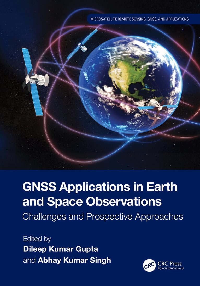
Mer från samma serie
GNSS Applications in Earth and Space Observations
Dileep Kumar Gupta, Abhay Kumar Singh
Inbunden, 2025
2 629 kr
- Nyhet
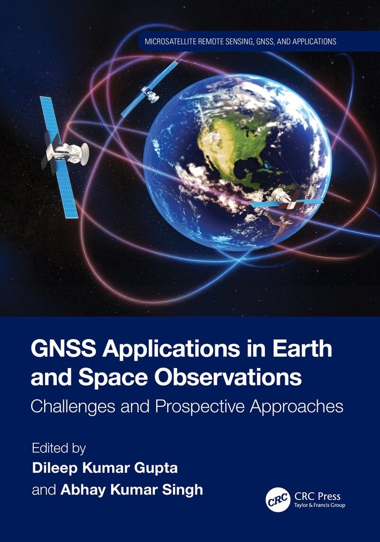
GNSS Applications in Earth and Space Observations
Dileep Kumar Gupta, Abhay Kumar Singh
Häftad, 2026
872 kr
Hoppa över listan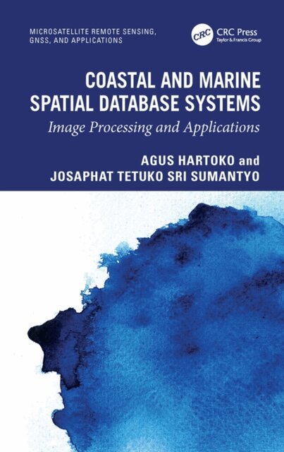


Du kanske också är intresserad av
GNSS Applications in Earth and Space Observations
Dileep Kumar Gupta, Abhay Kumar Singh
Inbunden, 2025
2 629 kr
- Nyhet
GNSS Applications in Earth and Space Observations
Dileep Kumar Gupta, Abhay Kumar Singh
Häftad, 2026
872 kr
- Signerad!
Del 2
SIGNERAD - Kopians hämnd
IJustWantToBeCool, Joel Adolphson, Emil Ejdemo Beer, Victor Beer
Inbunden, 2026
189 kr
- Signerad!
- -19%
- 4 för 3
- -20%
- 4 för 3