
Caribbean Charts S. – serie
Visar alla böcker i serien Caribbean Charts S.. Handla med fri frakt och snabb leverans.
2 produkter
2 produkter
220 kr
Skickas inom 11-20 vardagar
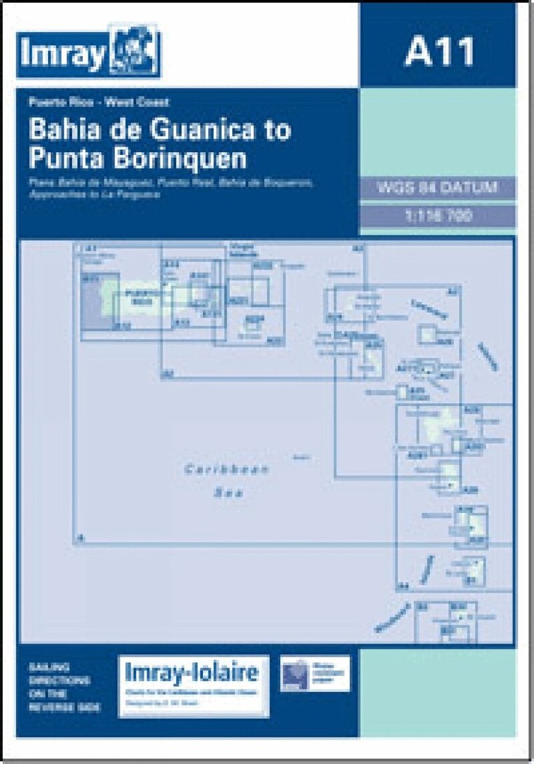
Imray-Iolaire charts for Caribbean are widely acknowledged as the best available for the cruising sailor. They combine the latest official survey Digital with first-hand information gathered over 60 years of research by Don Street Jr and his wide network of contributors. Like all Imray charts, they are printed on water resistant Pretex paper for durability, and they include many anchorages, facilities and inlets not included on official charts. West Coast of Puerto Rico Plans include: Bahia de Mayaguez Puerto Real Bahia de Boqueron Approaches to La Parguera
234 kr
Skickas inom 11-20 vardagar
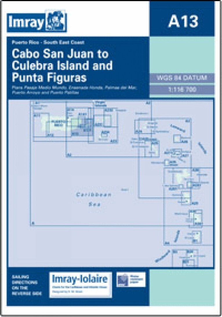
Imray-Iolaire charts for Caribbean are widely acknowledged as the best available for the cruising sailor. They combine the latest official survey Digital with first-hand information gathered over 60 years of research by Don Street Jr and his wide network of contributors. Like all Imray charts, they are printed on water resistant Pretex paper for durability, and they include many anchorages, facilities and inlets not included on official charts. Southeast Coast of Puerto Rico Plans include: Pasaje Medio Mundo Ensenada Honda Palmas del Mar Puerto Arroyo & Puerto Patillas