
Lancaster Imprints – serie
Visar alla böcker i serien Lancaster Imprints. Handla med fri frakt och snabb leverans.
13 produkter
13 produkter
Del 10 - Lancaster Imprints
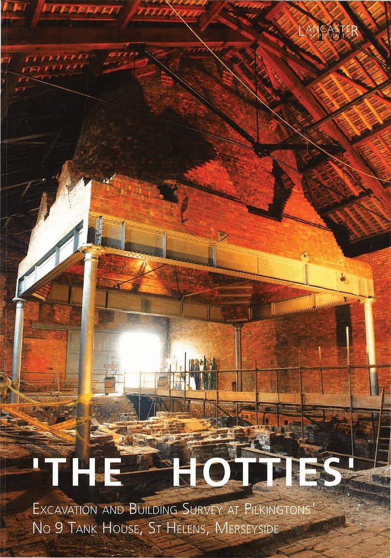
Hotties: Excavation and Building Survey at Pilkingtons No. 9 Tank House, St Helens Merseyside
Häftad, Engelska, 2002
297 kr
Skickas
Del 11 - Lancaster Imprints
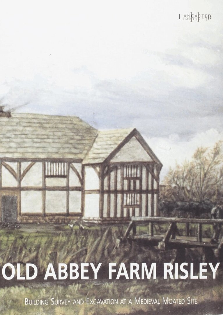
Old Abbey Farm Risley: Building Survey and Excavation at a Medieval Moated Site
Häftad, Engelska, 2004
282 kr
Skickas
Del 12 - Lancaster Imprints
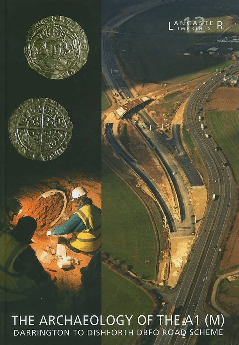
Archaeology of the A1 (M) Darrington to Dishforth DBFO Road Scheme
Inbunden, Engelska, 2008
376 kr
Skickas
Del 14 - Lancaster Imprints
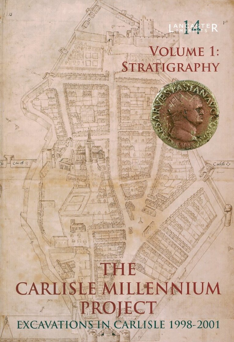
Carlisle Millennium Project: Excavations in Carlisle 1998-2001. Volume 1
Stratigraphy
Inbunden, Engelska, 2009
389 kr
Skickas
- Nyhet
Del 35 - Lancaster Imprints
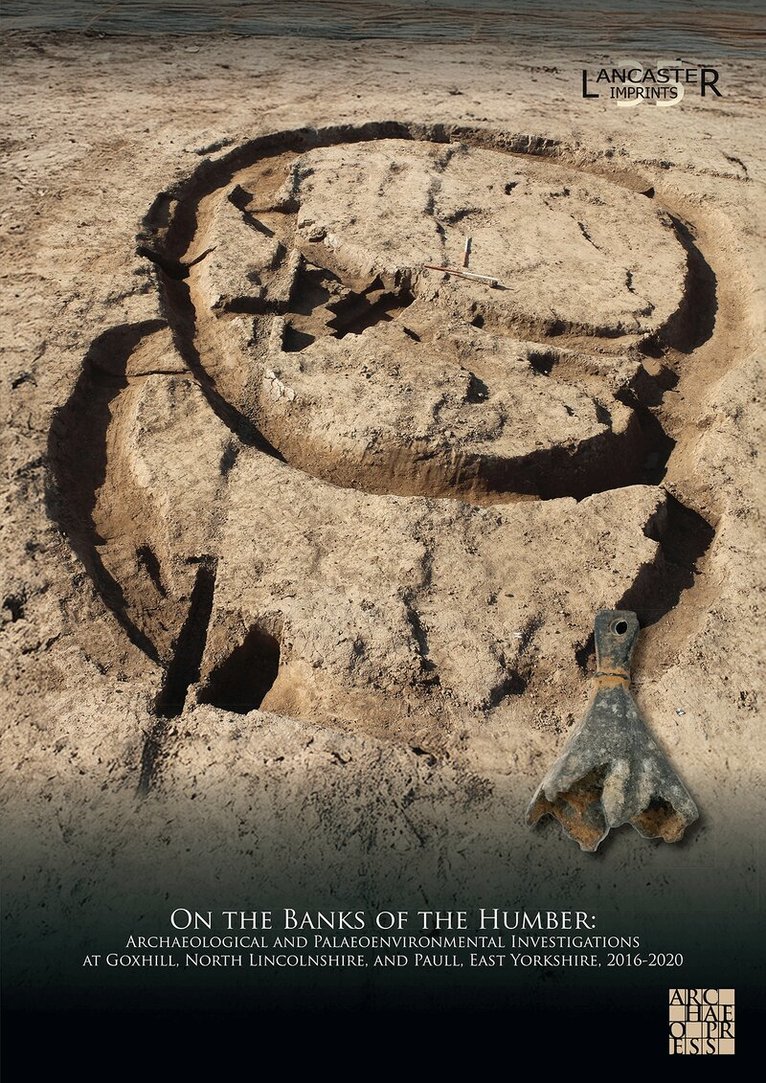
On the Banks of the Humber: Archaeological and Palaeoenvironmental Investigations at Goxhill, North Lincolnshire, and Paull, East Yorkshire, 2016-2020
Häftad, Engelska, 2026
629 kr
Skickas
The replacement of the Number 9 Feeder Gas Transmission Pipeline has provided an important opportunity to investigate early landscapes and settlement either side of the Humber Estuary. A combination of techniques has been employed over an eight-year period by Oxford Archaeology in order to explore the geoarchaeology and archaeology within two landscape areas, at Paull, East Yorkshire, and Goxhill, North Lincolnshire.Geoarchaeological investigations at both Paull and Goxhill included borehole coring, lithological, pollen, and diatom analyses, deposit modelling, and radiocarbon dating, the results of which provide details of the evolving early prehistoric coastal landscape that was present in the Mesolithic and earlier Neolithic periods. All of the archaeological remains investigated by the project were confined to Goxhill, and evaluation trenching, open-area excavation, and archaeological monitoring, together with detailed post-excavation analysis, have greatly enhanced understanding of prehistoric and historic settlement in this area. Within this landscape, limited evidence for Bronze Age and post-medieval activity was recovered, with the vast majority of the excavated remains dating to the Iron Age, Roman, and medieval periods, relating to progressive phases of open and enclosed settlement.This synthetic volume arises from a multi-disciplinary approach to geoarchaeology and archaeology, with an emphasis on interpreting the evidence in terms of landscape development. It includes the work of a range authors drawn from Oxford Archaeology and several external specialists.
Del 34 - Lancaster Imprints
Pioneers, Settlers, Villagers, and Warriors: Excavations at Ronaldsway Airport, Isle of Man
Inbunden, Engelska, 2026
1 306 kr
Skickas
During 2008 and 2009, Oxford Archaeology completed an extensive campaign of archaeological excavation at Ronaldsway Airport, Isle of Man, as part of a programme of runway and taxiway extension, and other airport improvements, undertaken by the Isle of Man Airport Division (part of the Isle of Man Government Department of Transport). This investigation uncovered a range of highly significant archaeological remains that complement other important discoveries made at the airport in the mid-twentieth century, which have figured prominently in discussions of the archaeology of the island.This volume presents details of these recent discoveries, which included an extremely rare Mesolithic dwelling dating to the end of the ninth millennium cal BC, representing the island’s earliest known house, along with Mesolithic pits and artefact scatters. Other important discoveries included Neolithic and earlier Bronze Age timber structures, and well-preserved elements of a later Bronze Age ‘village’, which contained domestic roundhouses, ancillary buildings, and workshops engaged in the casting of bronze and lead objects. Evidence relating to an unenclosed Iron Age settlement was also identified, as well as two important Iron Age burials, one of which contained an Iron Age ‘warrior’ who had been graphically killed during an act of interpersonal violence. Other recorded remains, dated to the later medieval and postmedieval periods and furnish evidence for the form of the agricultural landscape that existed prior to the construction of the modern airport.This volume is the result of a multi-disciplinary approach to the archaeology, involving detailed analyses of buried remains, artefacts, and environmental remains, with the work of a range of authors from Oxford Archaeology, as well as several external specialists. The results greatly enhance an understanding of the archaeology of the Isle of Man, and, more generally, provide important information on prehistoric settlement, contacts, and connections in the Irish Sea region, and along Britain’s western seaboard.
Del 6 - Lancaster Imprints
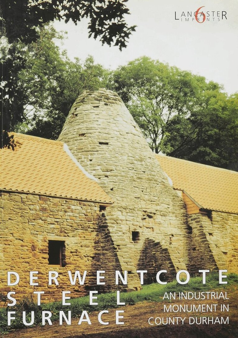
Derwentcote Steel Furnace
An Industrial monument in County Durham
Häftad, Engelska, 1997
302 kr
Skickas
Del 23 - Lancaster Imprints
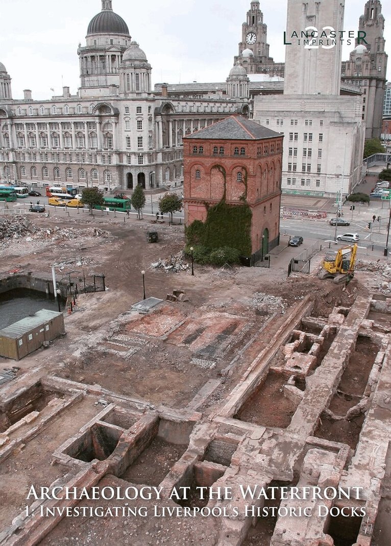
Archaeology at the Waterfront vol 1
Liverpool Docks
Häftad, Engelska, 2014
302 kr
Skickas

Del 24 - Lancaster Imprints
From Mesolithic Encampment to Medieval Estate: The Archaeology of the Bay Gateway
The Archaeology of the Bay Gateway
Häftad, Engelska, 2018
389 kr
Skickas
The Bay Gateway, a highway developed by Lancashire County Council and substantially funded by the Department for Transport, was constructed by Costain between 2014 and 2016 to provide a direct connection between the Port of Heysham, on the Lancashire coast, and Junction 34 of the M6 motorway, c 11 km to the north-east. Whilst groundworks at either end of the scheme involved substantial alterations to existing infrastructure within already heavily developed urban and suburban settings, the majority of the newly constructed elements of the route traversed a largely pastoral landscape, parallel with the River Lune. The undulating countryside is predominantly agricultural in nature, with a patchwork of fields and isolated farmsteads. As well as providing the backdrop for the Bay Gateway, the rolling landscape appears to have been attractive to human settlers within this part of the Lune Valley for some 9000 years, from the Late Mesolithic period, through to the Middle Ages and beyond.Excavations by Oxford Archaeology along the route in 2014 marked the culmination of almost ten years of archaeological investigation, with each study contributing to an understanding of an area that had previously seen little comprehensive research. Preliminary works had comprised desk-based assessment and walkover surveys, devised to define the known archaeological resource of the route, while geophysical survey was undertaken to identify the presence of possible, hitherto unidentified, archaeological remains. The first intrusive survey comprised the evaluation excavation of a series of trial trenches by Rubicon Heritage in early 2013. This tested the results of previous studies and established the presence and potential significance of buried remains. When combined with development proposals, the evaluation permitted the compilation of a mitigation strategy for detailed archaeological investigation in advance of construction works. In its final form, the mitigation was focused on seven discrete areas, wherein remains relating to prehistoric, medieval, and post-medieval activity were identified.
Del 25 - Lancaster Imprints
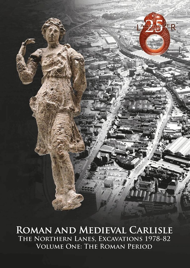
Roman and Medieval Carlisle: the Northen Lanes, Excavations 1978-82
Volume One: The Roman Period
Häftad, Engelska, 2019
389 kr
Skickas
Del 27 - Lancaster Imprints
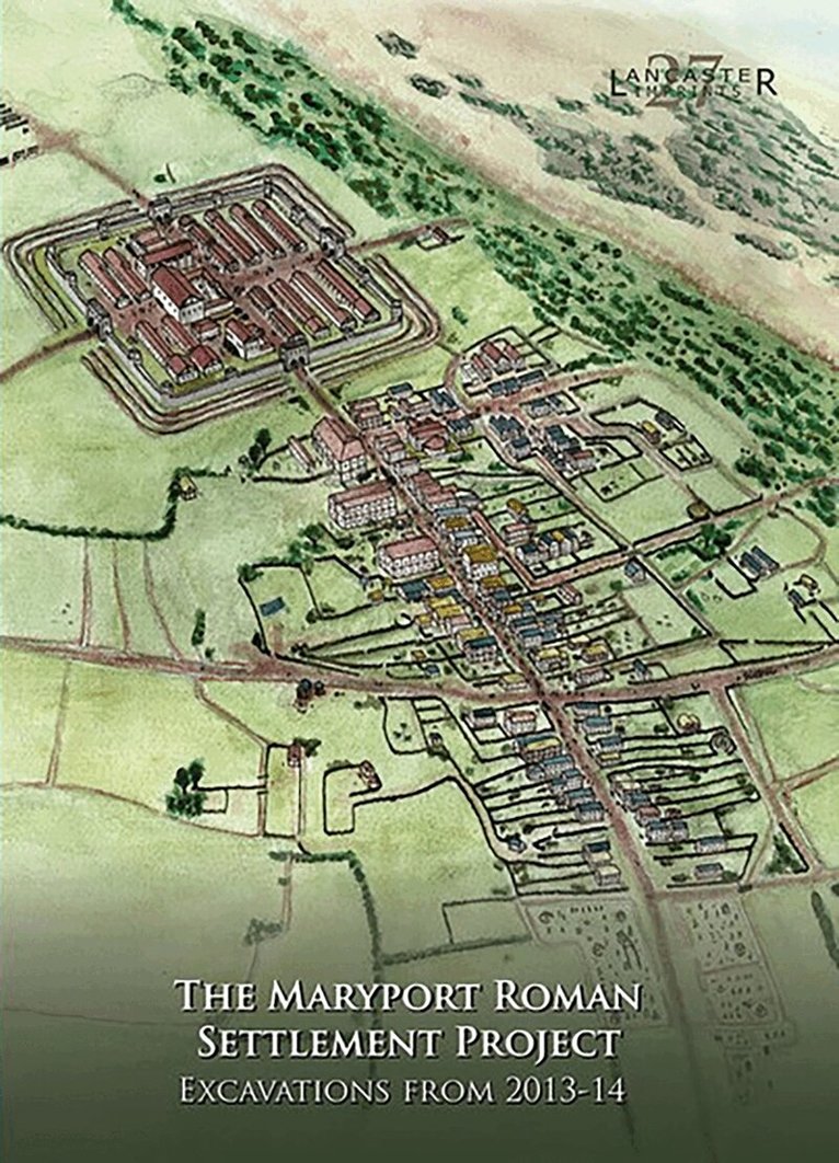
Maryport Roman Settlement Project
Excavations, 2013-14
Häftad, Engelska, 2019
389 kr
Skickas
In August and September 2013, and again in April and May 2014, Oxford Archaeology, on behalf of the former Hadrian's Wall Trust (HWT), undertook a research and community-training excavation within the extramural settlement associated with the Roman fort at Maryport, Cumbria. The project sought to engage, and train, a wide cross-section of the community in a broad range of fieldwork and post-excavation techniques, and to address a series of academic research questions pertaining to the Maryport site, and to Roman extramural settlements in general. Based on the evidence of an extensive programme of geophysical survey undertaken on the site in 2000-4, a block of four putative Roman building plots was selected for investigation, north-west of the main axial road leading north-east from the fort (which appears to have formed the principal focus of settlement on this side of the fort). Following an initial phase of prospection at the beginning of the 2013 season, which included a ground-penetrating radar (GPR) survey and the excavation of four test-pits, what was thought to be a single building plot was selected for more detailed investigation. Open-area excavation within this putative plot quickly established that in fact it comprised a complete building plot, considerably narrower than was suggested by the geophysical survey data, and substantive parts of two others, to the north-east and south-west, with a probable external area, including what may have been a minor road, between the central and south-western plots. The primary aim of the project was to enhance understanding of this part of the settlement through the excavation of as much as possible of a single building plot (including the 'backplot' area to the rear of the street frontage); consequently, the fully exposed central plot was chosen for more extensive excavation. The south-western and north-eastern plots were not excavated, other than to establish the presence of stone/stone-footed buildings within them. The 2014 season was focused almost exclusively on the central plot, with the area investigated within the backplot being substantially enlarged. However, a small area immediately to the south was also excavated, to investigate stratigraphic links between the structures in the central plot and what appeared to be an external area adjacent to them. The earliest evidence for a human presence at the site comprised a few prehistoric stone artefacts, intensive occupation clearly beginning in the Roman period. The main road leading north-east from the fort was identified, with the three building plots extending westwards from it. Following its initial construction, the road was resurfaced only once, in the third century AD. The stratigraphically earliest feature recorded was a small, north-east/south-west-aligned ditch, approximately 10 m north-west of, and aligned broadly parallel to, the road, possibly part of a field system of late pre-Roman or (perhaps more likely) early Roman date. The ceramic evidence from the site provides a strong indication that the investigated area as a whole saw little activity before the late Hadrianic period (c AD 130+), when a rectilinear timber building, probably a strip building, was constructed on the frontage of the targeted building plot. Since this structure clearly referenced the position and alignment of the axial road, this proves that this road was in existence by the late Hadrianic period and was not, like the Military Way associated with Hadrian's Wall, a later feature. The limited dating evidence associated with the building suggests that it may have remained in use to around the middle of the second century, probably sometime within the period 140-60, but it appears to have been immediately replaced with another, very similar, timber structure. This indicates that no break in occupation occurred at the time Hadrian's Wall was abandoned in favour of the Antonine Wall across the Forth-Clyde isthmus.
Del 28 - Lancaster Imprints
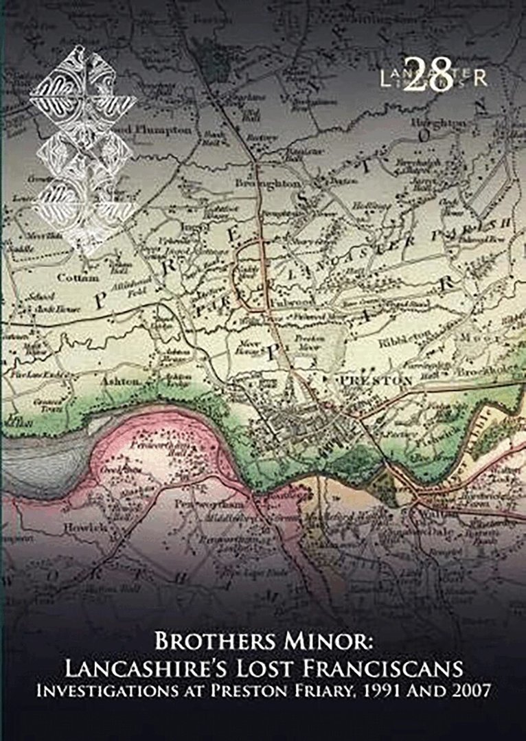
Brothers Minor: Lancashire's Lost Franciscans
Investigations at Preston Friary 1991 and 2007
Häftad, Engelska, 2020
184 kr
Skickas
Explores significant medieval remains in Preston identified as the Franciscan friary of St Clare.
Del 29 - Lancaster Imprints
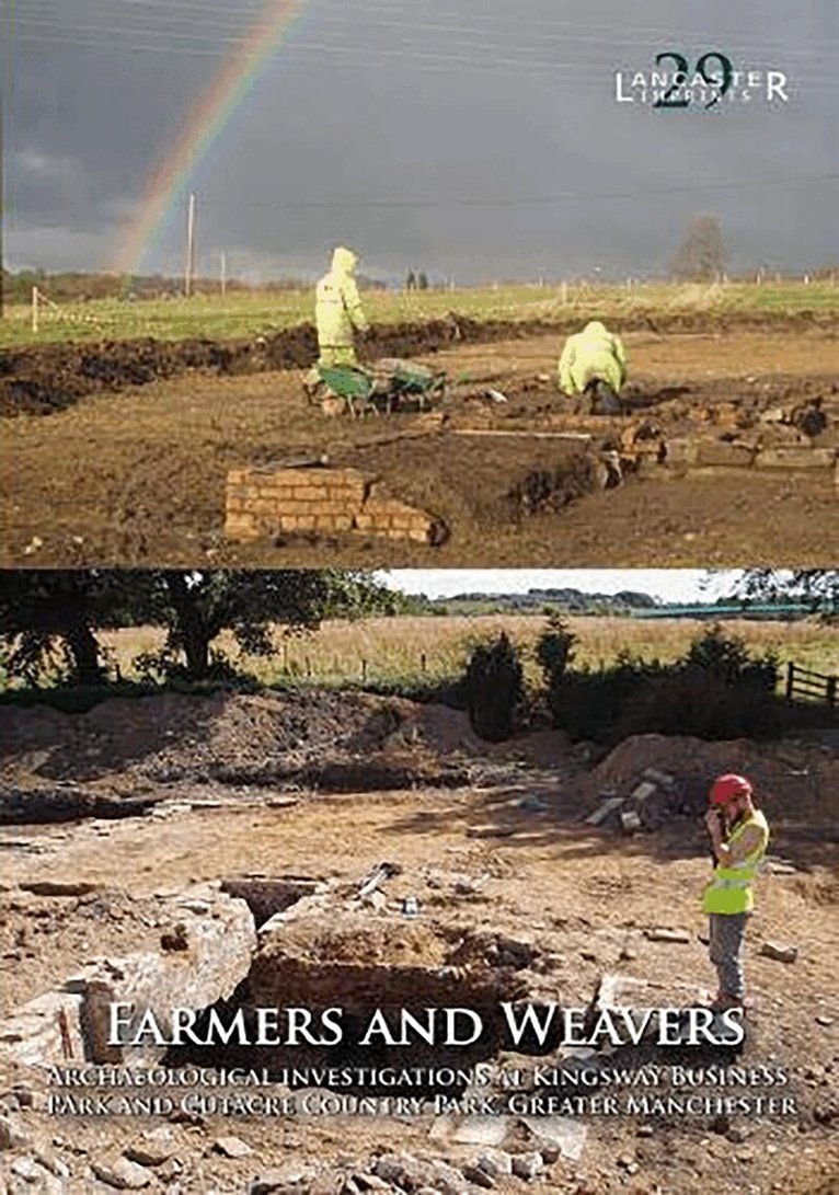
Farmers and Weavers: Archaeological Investigations at Kingsway Business Park and Cutacre Country Park, Greater Manchester
Investigation at Kingsway Buisiness Park and Cutacre Country Park, Greater Manchester
Häftad, Engelska, 2021
389 kr
Skickas
Large-scale redevelopment at Kingsway Business Park, near Rochdale, and Cutacre Country Park, near Bolton, has provided an important opportunity to investigate the prehistoric and later rural landscapes in the south-eastern corner of the historic county of Lancashire, now part of Greater Manchester. A combination of archaeological techniques has been employed to explore the archaeology of these areas, principally comprising standing-building survey and open-area excavation, directed towards the investigation of 17 sites. Topographical survey and palaeoenvironmental coring were also used to examine the character of the early landscape. Evidence for prehistoric and medieval activity was discovered within the two areas, although the majority of the remains investigated dated to the post-medieval and industrial periods. These latter remains relate to a range of different rural house types and farm buildings, built by the lesser gentry, and the yeoman and tenant farmers of the region. This volume is the result of a multi-disciplinary approach to the archaeology, with the work of a range of authors from Oxford Archaeology and the University of Salford, and also several external specialists. The results greatly enhance an understanding of the archaeology of Greater Manchester, and, more generally, provide important information on rural settlement in north-west England.