John Zant – författare
Visar alla böcker från författaren John Zant. Handla med fri frakt och snabb leverans.
4 produkter
4 produkter
Del 14 - Lancaster Imprints
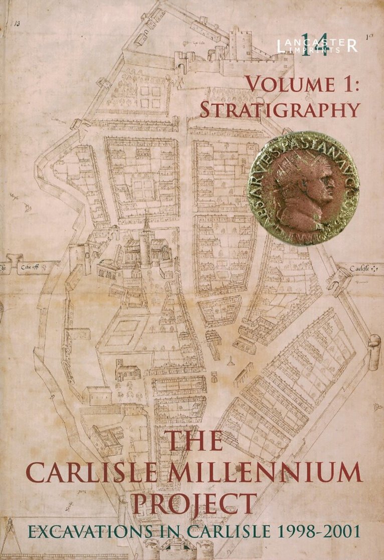
Carlisle Millennium Project: Excavations in Carlisle 1998-2001. Volume 1
Stratigraphy
Inbunden, Engelska, 2009
389 kr
Skickas
Del 35 - Lancaster Imprints
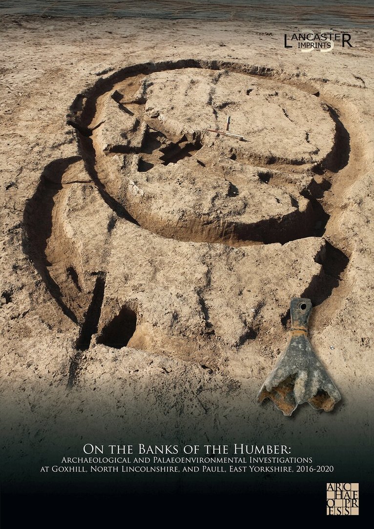
On the Banks of the Humber: Archaeological and Palaeoenvironmental Investigations at Goxhill, North Lincolnshire, and Paull, East Yorkshire, 2016-2020
Häftad, Engelska, 2026
629 kr
Skickas
The replacement of the Number 9 Feeder Gas Transmission Pipeline has provided an important opportunity to investigate early landscapes and settlement either side of the Humber Estuary. A combination of techniques has been employed over an eight-year period by Oxford Archaeology in order to explore the geoarchaeology and archaeology within two landscape areas, at Paull, East Yorkshire, and Goxhill, North Lincolnshire.Geoarchaeological investigations at both Paull and Goxhill included borehole coring, lithological, pollen, and diatom analyses, deposit modelling, and radiocarbon dating, the results of which provide details of the evolving early prehistoric coastal landscape that was present in the Mesolithic and earlier Neolithic periods. All of the archaeological remains investigated by the project were confined to Goxhill, and evaluation trenching, open-area excavation, and archaeological monitoring, together with detailed post-excavation analysis, have greatly enhanced understanding of prehistoric and historic settlement in this area. Within this landscape, limited evidence for Bronze Age and post-medieval activity was recovered, with the vast majority of the excavated remains dating to the Iron Age, Roman, and medieval periods, relating to progressive phases of open and enclosed settlement.This synthetic volume arises from a multi-disciplinary approach to geoarchaeology and archaeology, with an emphasis on interpreting the evidence in terms of landscape development. It includes the work of a range authors drawn from Oxford Archaeology and several external specialists.
Del 27 - Lancaster Imprints
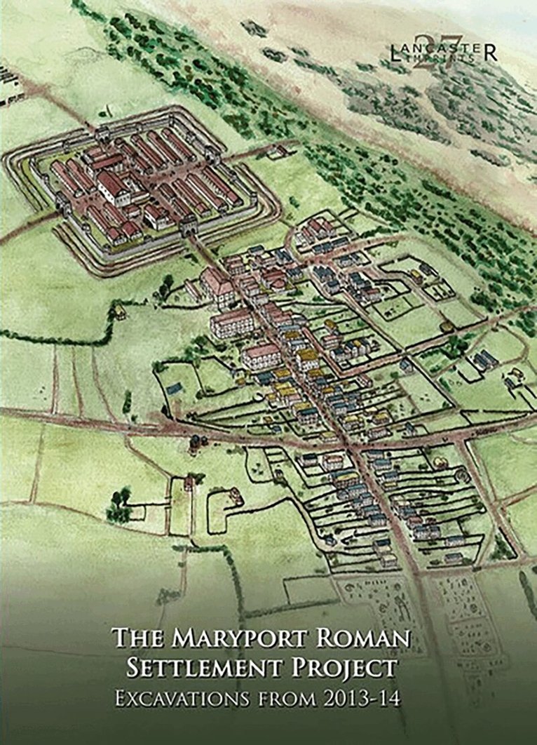
Maryport Roman Settlement Project
Excavations, 2013-14
Häftad, Engelska, 2019
389 kr
Skickas
In August and September 2013, and again in April and May 2014, Oxford Archaeology, on behalf of the former Hadrian's Wall Trust (HWT), undertook a research and community-training excavation within the extramural settlement associated with the Roman fort at Maryport, Cumbria. The project sought to engage, and train, a wide cross-section of the community in a broad range of fieldwork and post-excavation techniques, and to address a series of academic research questions pertaining to the Maryport site, and to Roman extramural settlements in general. Based on the evidence of an extensive programme of geophysical survey undertaken on the site in 2000-4, a block of four putative Roman building plots was selected for investigation, north-west of the main axial road leading north-east from the fort (which appears to have formed the principal focus of settlement on this side of the fort). Following an initial phase of prospection at the beginning of the 2013 season, which included a ground-penetrating radar (GPR) survey and the excavation of four test-pits, what was thought to be a single building plot was selected for more detailed investigation. Open-area excavation within this putative plot quickly established that in fact it comprised a complete building plot, considerably narrower than was suggested by the geophysical survey data, and substantive parts of two others, to the north-east and south-west, with a probable external area, including what may have been a minor road, between the central and south-western plots. The primary aim of the project was to enhance understanding of this part of the settlement through the excavation of as much as possible of a single building plot (including the 'backplot' area to the rear of the street frontage); consequently, the fully exposed central plot was chosen for more extensive excavation. The south-western and north-eastern plots were not excavated, other than to establish the presence of stone/stone-footed buildings within them. The 2014 season was focused almost exclusively on the central plot, with the area investigated within the backplot being substantially enlarged. However, a small area immediately to the south was also excavated, to investigate stratigraphic links between the structures in the central plot and what appeared to be an external area adjacent to them. The earliest evidence for a human presence at the site comprised a few prehistoric stone artefacts, intensive occupation clearly beginning in the Roman period. The main road leading north-east from the fort was identified, with the three building plots extending westwards from it. Following its initial construction, the road was resurfaced only once, in the third century AD. The stratigraphically earliest feature recorded was a small, north-east/south-west-aligned ditch, approximately 10 m north-west of, and aligned broadly parallel to, the road, possibly part of a field system of late pre-Roman or (perhaps more likely) early Roman date. The ceramic evidence from the site provides a strong indication that the investigated area as a whole saw little activity before the late Hadrianic period (c AD 130+), when a rectilinear timber building, probably a strip building, was constructed on the frontage of the targeted building plot. Since this structure clearly referenced the position and alignment of the axial road, this proves that this road was in existence by the late Hadrianic period and was not, like the Military Way associated with Hadrian's Wall, a later feature. The limited dating evidence associated with the building suggests that it may have remained in use to around the middle of the second century, probably sometime within the period 140-60, but it appears to have been immediately replaced with another, very similar, timber structure. This indicates that no break in occupation occurred at the time Hadrian's Wall was abandoned in favour of the Antonine Wall across the Forth-Clyde isthmus.
Häftad, Engelska, 2022
389 kr
Skickas
Excavations in the northern lanes of Carlisle have revealed evidence of the city’s post-Roman inhabitants.