
Pathfinder Guide – serie
Visar alla böcker i serien Pathfinder Guide. Handla med fri frakt och snabb leverans.
12 produkter
12 produkter

Häftad, Engelska, 2016
157 kr
Skickas
Pathfinder(R) North York Moors covering parts of the Pickering, Whitby and Ingleby Moor. This selection offers interest, regional variety and balance of routes in the North York Moors providing the best walks in the area. From an easy stroll through Robin Hood's Bay to the much more challenging walks on Westerdale Moor this volume contains something for everyone. Covering walks through the whole of the North York Moors both popular and little know scenic routes including Runswick Bay, Saltwick and Ainthorpe Rigg. -See walk locations by Looking Inside Inside: -28 great North York Moor walks from 2 to 10 miles -Clear, large scale Ordnance Survey route maps -GPS reference for all North York Moor waypoints -Where to park, good pubs and places of interest en route -All routes have been fully researched and written by expert outdoor writers -Beautiful photography of scenes from the walks Pathfinder(R) Guides are Britain's best loved walking guides. Made with durable covers, they are the perfect companion for countryside walks throughout Britain. Each title features circular walks with easy-to-follow route descriptions, large-scale Ordnance Survey route maps and GPS waypoints.With over 70 titles in the series, they offer essential information for walkers throughout the country.
Häftad, Engelska, 2016
163 kr
Skickas
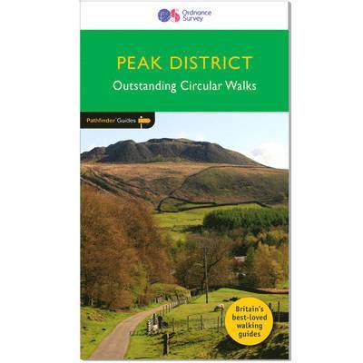
Pathfinder Peak District covering Eyam, the Chatsworth Estate and the Monk's Dale Nature Reserve. This selection offers interest, regional variety and balance of routes in the Peak District providing the best walks in the area. From an easy stroll through Robin Hood's Stride to the much more challenging walks in Thornhill this volume contains something for everyone. Covering walks through the whole of the Peak District both popular and little know scenic routes including Crowden, Eyam and Win Hill. -See walk locations by Looking Inside Inside: -28 great walks in the Peak District from 2 to 10 miles -Clear, large scale Ordnance Survey route maps -GPS reference for all Peak District waypoints -Where to park, good pubs and places of interest en route -All routes have been fully researched and written by expert outdoor writers -Beautiful photography of scenes from the walks Pathfinder Guides are Britain's best loved walking guides. Made with durable covers, they are the perfect companion for countryside walks throughout Britain. Each title features circular walks with easy-to-follow route descriptions, large-scale Ordnance Survey route maps and GPS waypoints.With over 70 titles in the series, they offer essential information for walkers throughout the country.
Häftad, Engelska, 2016
163 kr
Skickas
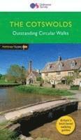
Pathfinder(R) Cotswolds covering parts of the Snowshill, Buckholt Wood and Burford. This selection offers interest, regional variety and balance of routes in the Cotswolds providing the best walks in the area. From an easy stroll through Castle Combe to the much more challenging walks on Bredon Hill this volume contains something for everyone. Covering walks through the whole of the Cotswolds both popular and little know scenic routes including Stanway, Bourton-on-the-Water and Blenheim Park. -See walk locations by Looking Inside Inside: -28 great Cotswold walks from 2 to 10 miles -Clear, large scale Ordnance Survey route maps -GPS reference for all Cotswold waypoints -Where to park, good pubs and places of interest en route -All routes have been fully researched and written by expert outdoor writers -Beautiful photography of scenes from the walks Pathfinder(R) Guides are Britain's best loved walking guides. Made with durable covers, they are the perfect companion for countryside walks throughout Britain. Each title features circular walks with easy-to-follow route descriptions, large-scale Ordnance Survey route maps and GPS waypoints.With over 70 titles in the series, they offer essential information for walkers throughout the country.
Häftad, Engelska, 2016
163 kr
Skickas
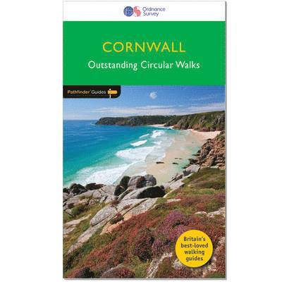
Pathfinder(R) Cornwall covering Land's End, Prussia Cove and Bodmin Moor. This selection offers interest, regional variety and balance of routes in Cornwall providing the best walks in the area. From an easy stroll along Falmouth Bay to the much more challenging walks along Looe Bar this volume contains something for everyone. Covering walks through the whole of Cornwall both popular and little know scenic routes including St Agnes, Tintagel and Portloe. -See walk locations by Looking Inside Inside: -28 great walks in Cornwall from 2 to 10 miles -Clear, large scale Ordnance Survey route maps -GPS reference for all Cornwall waypoints -Where to park, good pubs and places of interest en route -All routes have been fully researched and written by expert outdoor writers -Beautiful photography of scenes from the walks Pathfinder(R) Guides are Britain's best loved walking guides. Made with durable covers, they are the perfect companion for countryside walks throughout Britain. Each title features circular walks with easy-to-follow route descriptions, large-scale Ordnance Survey route maps and GPS waypoints.With over 70 titles in the series, they offer essential information for walkers throughout the country.Contents* Mylor, Restronguet Creek and the Pandora Inn* Men-an-tol, the Nine Maidens and Lanyon Quoit* Prussia Cover and Cudden Point* West pentire, the Kelseys and Holywell Bay* Lerryn and St Winnow* Porthcurno, Porthgwarra and St Levan's Church* Polruan and Lanteglos* Helford, Little Dennis and Manaccan* Efford Down and the Bude Canal* Land's End and Nanjizal from Sennen Cove* Falmouth Bay and the Helford River* Hawker Country - Morwenstow and Marsland Mouth* Mount Edgcumbe, the Sound and Cawsand* The Cheesewring and Kilmar Tor* Around St Agnes* Little Petherick Creek, Dennis Hill and the Carnel Trail* Polkerris, Readymoney Cove and Gribbin Head* Stepper Point from Trevone* Looe, Kilminorth Wood and Talland Bay* Portloe and Veryan* Lizard Point, Kynance Cove and Cadgwith* Dizzard Point, St Gennys and Millook Water* Chun Quoit, Pendeen Watch and Botallack* Lamoma, St Loy's and the Merry Maidens* Zennor to St Ives by the Coffin Path* Trebarwith and Delabole* Tintagel, Boscastle and St Nectan's Glen* The Dodman, Gorran Haven and Portmellon.
Häftad, Engelska, 2016
163 kr
Skickas
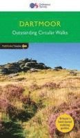
Much of central Dartmoor is an uninhabited wilderness almost free of villages, farms, trees and roads making it outstanding environmental value. From this mass rise Dartmoor's rivers, including the Lyd, Tavy, East and West Dart, Bovey, Teign, Taw and Okement, nearly all of which flow southwards to the English Channel. The large numbers of tors that dominate Dartmoor are the remnants of hard masses of granite, drastically reduced in size and moulded into their present shapes by millions of years of weatherings. Bowerman's Nose, Hound Tor and Haytor Rocks are famous examples included on these walks.
Häftad, Engelska, 2016
163 kr
Skickas
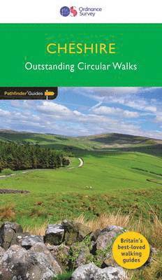
Walkers coming to Cheshire and expecting an entirely flat county are in for a surprise. There are easy, undemanding walks that take you across characteristic, pastoral Cheshire landscapes, invariably passing through some of the attractive villages and by some of the county's outstanding churches and country houses. But you can also experience rough and challenging moorland hikes on the edge of the Peak District, plenty of attractive woodland walks along the sandstone ridge, or across parklands, or through the remnants of the medieval forests, a superb choice of peaceful canal walks and, on the Wirral, even coastal - or at least estuary - walking.
Del 74 - Pathfinder Guide
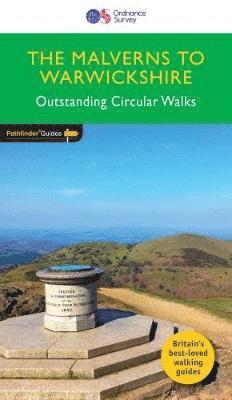
Malverns to Warwickshire
Häftad, Engelska, 2017
160 kr
Skickas
The area covered by this guide encompasses all the scenic features that are generally considered to be traditionally English. It is a landscape characterised by gently rolling hills, wide and verdant river valleys, wooded tracts, small market towns and, above all, an abundance of exceptionally attractive villages mainly timber-framed and built of brick, with most of them featuring thatched cottages, medieval churches and fine old pubs. The walks in this guide incorporate historic highlights such as Coughton Court, Wroxton Abbey and Charlecote Park landscaped by 'Capability' Brown and allegedly where Shakespeare was once caught poaching.
Del 49 - Pathfinder Guide
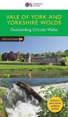
Vale of York & the Yorkshire Wolds
Häftad, Engelska, 2017
160 kr
Skickas
Pathfinder® Guide to the East Riding of Yorkshire, covering the Vale of York and the Yorkshire Wolds between Ripon and Filey in the north of the region and between Tadcaster, the Humber and to Hornsea in the south of the region, featuring 28 outstanding circular rambles designed for a wide range of walking abilities; there's something for everyone. There are coastal walks at Filey, Flamborough and Hornsea, and a Humber Estuary ramble between Hessle and North Ferriby; routes along the crest of the Wolds from Hunmanby to Thixendale to Welton; and riverside and canal walks taking in the Ure, Ouse, Wharfe and Derwent in the lowland vale south of the Howardian Hills, west of the Wolds and east of the Pennines. Walks are professionally authored and depicted with GPS waypoints, Ordnance Survey maps and beautiful photography
Del 50 - Pathfinder Guide
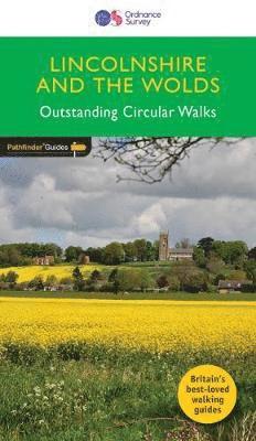
Pathfinder Lincolnshire & the Wolds
Häftad, Engelska, 2018
160 kr
Skickas
The second largest county in England, Lincolnshire offers a surprising diversity of landscape - rolling wolds, coastal reaches, marshlands with endless skies and wide and impressive vistas, interspersed with historic market towns, magnificent churches and, of course, the ancient cathedral city of Lincoln. The county is largely unspoilt and offers a great opportunity for new and unique walking experiences. Outstanding features of the 28 walks in this guide include the Lincoln Edge, Boston and the River Witham, Somersby in the heart of Tennyson Country, and the River Humber. Now fully revised to include GPS data and new Ordnance Survey open access land mapping.
Del 31 - Pathfinder Guide
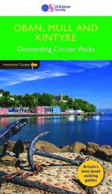
Pathfinder Oban, Mull & Kintyre
Häftad, Engelska, 2019
163 kr
Skickas
The rock of Dunadd, a few miles north of Lochgilphead, marks the place where the Scots established their headquarters after landing from Ireland around 500AD, and it can rightfully claim to be the birthplace of Scotland. It is also at the heart of present-day Argyll, which roughly corresponds to the area covered by this guide. There are a range of routes across different terrains, including a walk around the Isle of Iona, with its wealth of ancient monuments, superb beaches and an ascent up Ben More, the highest peak on Mull.
Del 20 - Pathfinder Guide
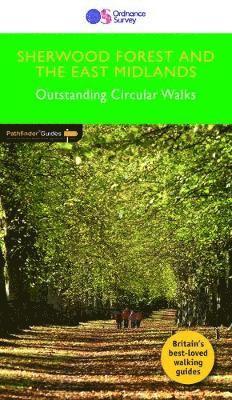
Pathfinder Sherwood Forest & the East Midlands
Häftad, Engelska, 2019
163 kr
Skickas
28 mapped walks ranging in length from 3.5 miles to 10 miles across the region comprising Nottinghamshire, Leicestershire, Rutland and Northamptonshire. Accompanying the route text of each walk is an OS Explorer map extract highlighting the route, GPS references of the main route waypoints, an introduction to the area covered on the walk and a key facts panel providing useful walk details.
Del 27 - Pathfinder Guide
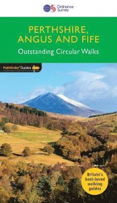
PERTHSHIRE, ANGUS & FIFE
Häftad, Engelska, 2018
160 kr
Skickas
Approaching the eastern part of central Scotland, where the Grampians dominate the horizon, it appears at first glance to be mountain country. In fact much of the area is low-lying, with flat woodland and agricultural land bordered by gentle, rounded hills and an attractive North Sea coastline. Perthshire has enough lochs to vie with Cumbria's Lake District. Dunsinane Hill and the site of Macbeth's castle can be seen on the Sidlaw Hills in Strathmore, Angus, and there are also coastal walks around the Fife peninsula, with its waterfront villages, sheltered harbours and sandy beaches.