
Wander-Rad-Freizeitkarte – serie
Visar alla böcker i serien Wander-Rad-Freizeitkarte. Handla med fri frakt och snabb leverans.
17 produkter
17 produkter
166 kr
Skickas inom 3-6 vardagar
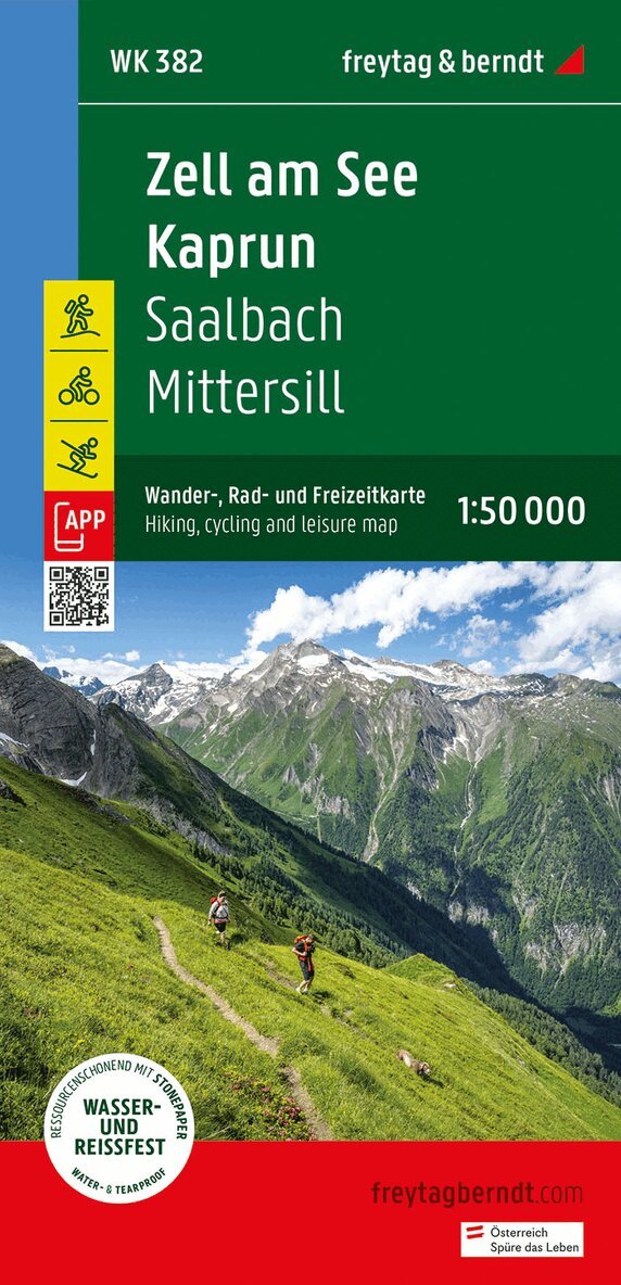
Thanks to the detailed digital cartography and the precise scales, freytag & berndt hiking maps are ideal companions for hiking, mountaineering and ski tours. They are regularly revised and contain updated information on hiking trails, cycling and mountain biking routes, huts, natural monuments, cultural sights and leisure facilities. The enclosed information booklet offers a selection of the best hiking trails, cycle paths and mountain bike routes as well as a brief description of the individual communities and their leisure activities. (Language: German) Leisure information, hiking and long-distance hiking trails, mountain bike and cycling tours, register of places with postcodes, GPS-compatible, via ferrata, ski route, cross-country route, Nordic walking route; Region: Hohe Tauern, Pinzgau, Salzburg; Special themed hiking trails: Central Alpine Trail, Arno Trail, King's Trail, Bach educational trail in the Vorderen Hollersbachtal, Austria Trail on the Mooserboden, hike to the Walcher waterfall, Kasereck - Kreuzköpfl summit tour, summit hike around the Torsee, Kohlmais circular tour; Special bike tours: Tauern cycle path, Watzmann-Hochkönig tour, Stubach valley panoramic road, Fuschertörl, Ellmaualm-Zwölferkogel tour; Environment maps: WK 103, WK 120, WK 121, WK 123, WK 191, WK 301, WK 393;
Engelska, 2023
166 kr
Skickas inom 3-6 vardagar
Freytag & Berndt hiking maps are the perfect companion for hiking, mountaineering and ski touring, thanks to detailed digital cartography and precise yardsticks. They are regularly revised and contain updated information on hiking trails, cycling and mountain biking trails, huts, natural monuments, cultural attractions and leisure facilities.The enclosed information booklet contains a selection of the best hiking trails, cycle paths and mountain bike trails as well as a short description of the individual municipalities with their leisure time activities. (Language: German)Leisure information, hiking and long-distance hiking trails, mountain biking and cycling tours, local register with zip codes, GPS-capable, via ferrata, ski route, cross-country route, Nordic walking trail;Region: Murau, Wölzer Valley, Wölzer Tauern, Lachtal, Metnitztal, Metnitzer BergeSpecial hiking theme trails:Steirischer Landesrundwanderweg, Via Natura LeseGarten, Hemmapilgerweg, Mariazeller Gründerweg, Styrian Holzstraße, Graggerschlucht, Friesacher castle and culture hike, legendary WölzertalSpecial cycling and mountain bike tours:Mur-Radweg, Grebenzen-Radweg Nature Park, Norischer Radweg, Ranten-Radweg, Allgau-Tour, Prebertal-Tour, Teich-Runde, Grebenzer Höhen Trail, Tour to the Klosterneuburger Hütte
Engelska, 2024
166 kr
Skickas inom 3-6 vardagar
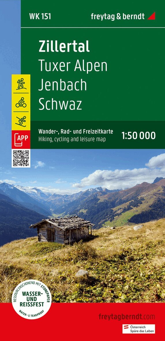
Thanks to the detailed digital cartography and precise scales, freytag & berndt hiking maps are ideal companions for hiking, mountaineering and ski tours. The WK 0151 'Zillertal - Tux Alps - Jenbach - Schwaz' 1:50,000 is regularly revised and contains updated information on hiking trails, cycling and mountain bike routes, huts, natural monuments, cultural sights and leisure facilities. The enclosed information booklet contains a selection of the best hiking trails, cycle paths and mountain bike routes as well as a brief description of the individual communities and their leisure activities. (Language: German) Leisure information, hiking and long-distance hiking trails, mountain bike and cycling tours, location register with postal codes, GPS compatible, via ferrata, ski route, cross-country ski route, Nordic walking route; Region: Zillertal, Zillertal Alps, Lower Inn Valley, Kitzbühler Alps, Tux Alps, Karwendel Mountains, Tyrol, North Tyrol, Austria; Special themed hiking trails: Northern Alpine Trail, Central Alpine Trail, Jakobsweg, Adlerweg, Via Alpina, Voldertal, Kellerjoch, Ebner Joch; Special cycling and mountain bike tours: Inn cycle path (Inntal cycle path), Zillertal cycle path, Bike Trail Tyrol, Alpbachtal tour, panoramic path; Environment maps: WK 121, WK 152, WK 241, WK 302, WK 321;
Engelska, 2023
166 kr
Skickas inom 3-6 vardagar
freytag & berndt Wanderkarten sind dank der detaillierten digitalen Kartographie und der genauen Maßstäbe ideale Begleiter beim Wandern, Bergsteigen und auf Skitouren. Die Wanderkarte WK 131 "Grazer Bergland - Schöckl - Almenland-Teichalm - Stubenbergsee 1:50.000" wird regelmäßig überarbeitet und enthält aktualisierte Informationen zu Wanderwegen, Rad- und Mountainbikestrecken, Hütten, Naturdenkmälern, kulturellen Sehenswürdigkeiten und Freizeiteinrichtungen. Das beiliegende Informationsheft enthält eine Auswahl der besten Wanderwege, Radwege und Mountainbikestrecken sowie eine kurze Beschreibung der einzelnen Gemeinden mit ihrem Freizeitangebot. (Sprache: Deutsch) Freizeitinformationen, Wander- und Weitwanderwege, Mountainbike- und Radtouren, Ortsregister mit Postleitzahlen, GPS-tauglich, Klettersteig, Schiroute, Langlaufroute, Nordic-Walking-Strecke; Besondere Wander-Themenwege: Mariazellerweg, Grazer Umlandweg, Vom Gletscher zum Wein, Via Slavorum; Spezielle Radtouren: Schöckl-Rundfahrt, Drachentour, Birkfeld-Offnerberg-Tour; Umgebungskarten: WK 021, WK 041, WK 132, WK 133, WK 422, WK 423;
Engelska, 2023
166 kr
Skickas inom 3-6 vardagar
freytag & berndt Wanderkarten sind dank der detaillierten digitalen Kartographie und der genauen Maßstäbe ideale Begleiter beim Wandern, Bergsteigen und auf Skitouren. Die WK 223 "Karnische Alpen - Gailtal - Gitschtal - Nassfeld - Lesachtal - Weissensee - Oberdrautal, 1:50.000" wird regelmäßig überarbeitet und enthält aktualisierte Informationen zu Wanderwegen, Rad- und Mountainbikestrecken, Hütten, Naturdenkmälern, kulturellen Sehenswürdigkeiten und Freizeiteinrichtungen. Das beiliegende Informationsheft enthält eine Auswahl der besten Wanderwege, Radwege und Mountainbikestrecken sowie eine kurze Beschreibung der einzelnen Gemeinden mit ihrem Freizeitangebot. (Sprache: Deutsch) Details: Freizeitinformationen, Wander- und Weitwanderwege, Mountainbike- und Radtouren, Ortsregister mit Postleitzahlen, GPS-tauglich, Klettersteig, Schiroute, Langlaufroute, Nordic-Walking-Strecke, doppelseitig; Region: Oberkärnten, Gailtaler Alpen, Karnische Alpen, Oberes Gailtal, Unteres Gailtal, Naturpark Weissensee; Besondere Wander-Themenwege: Rupertiweg, Südalpenweg, Via Alpina, Jakobsweg, Carnica Trekking, Hemmapilgerweg, Weg des Buches, Alpe Adria Trail, Marienpilgerweg, Dolomiten Höhenweg, Weissensee-Uferwanderung, Samalm-Runde, Luggauer Höhenwanderung; Spezielle Rad- und Mountainbiketouren: Drauradweg, Gailtal Radweg, Pressegger See Radweg, Weissensee Radweg, Ciclovia Alpe Adria Radweg, Naggler Alm-Tour, Jaukenalm-Tour, Guggenberg-Tour;
166 kr
Skickas inom 3-6 vardagar
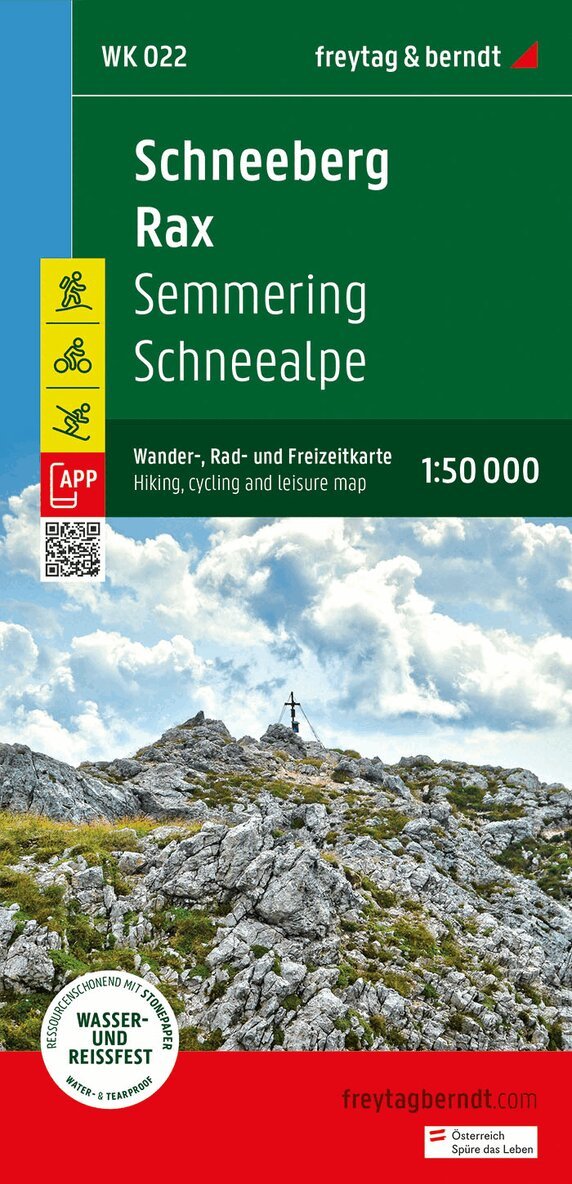
Schneeberg and Rax are popular destinations for excursions and mountain hikes. Hikers can explore the fascinating mountain landscape and enjoy beautiful views on well-marked hiking trails. For inexperienced hikers, there are easier tours where you can explore forests and alpine meadows. The hiking map provides detailed information about the various hiking and cycling trails in the area. With the hiking and cycling map you can ideally plan your tours and find out about sights and viewpoints along the route. Information about the hiking, cycling and leisure map Schneeberg - Rax - Semmering - Schneealpe Scale 1:50,000 Hiking trails Cycle paths, mountain bike Ski routes, cross-country ski trails Tourist information Rother App Waterproof and tear-resistant 99 x 61 cm Rother App The linked free version of the Rother App offers a digital map with the complete hiking and cycling network in the Schneeberg Rax region as well as some sample tours in the region (free registration required). Waterproof and tear-resistant So that the hiking map can be used for orientation even on rainy days, it is printed on a special waterproof and durable paper. Manufactured to conserve resources The card consists of 80% ground limestone. The production is much more resource-efficient than conventional paper because the consumption of water, wood and energy is significantly lower. Printed in Austria.
Engelska, 2023
166 kr
Skickas inom 3-6 vardagar
freytag & berndt Wanderkarten sind dank der detaillierten digitalen Kartographie und der genauen Maßstäbe ideale Begleiter beim Wandern, Bergsteigen und auf Skitouren. Sie werden regelmäßig überarbeitet und enthalten aktualisierte Informationen zu Wanderwegen, Rad- und Mountainbikestrecken, Hütten, Naturdenkmälern, kulturellen Sehenswürdigkeiten und Freizeiteinrichtungen. Das beiliegende Informationsheft enthält eine Auswahl der besten Wanderwege, Radwege und Mountainbikestrecken sowie eine kurze Beschreibung der einzelnen Gemeinden mit ihrem Freizeitangebot. (Sprache: Deutsch) Freizeitinformationen, Wander- und Weitwanderwege, Mountainbike- und Radtouren, Ortsregister mit Postleitzahlen, GPS-tauglich, Klettersteig, Schiroute, Langlaufroute, Nordic-Walking-Strecke, doppelseitig; Region: Faaker See, Ossiacher See, Villach, Dreiländereck, Unteres Gailtal, Kärnten; Besondere Wander-Themenwege: Via Alpina, Wörthersee Höhenrundwanderweg, Jakobsweg, Weg des Buches, Hemmapilgerweg, Alpe Adria Trail, Marienpilgerweg, Mittagskogel, Dobratsch, Stollenwanderweg; Spezielle Rad- und Mountainbiketouren: Drauradweg, Karnischer Radweg, Alpe-Adria-Radweg, Ossiacher-See-Tour, Wörthersee-Ossiacher See Tour, Faaker See Runde, Faaker Dobrova; Umgebungskarten: WK 141, WK 221, WK 222, WK 223, WK 233;
Engelska, 2023
131 kr
Skickas inom 3-6 vardagar
Kontinent: EuropaLand: ÖsterreichBundesland / Provinz: Oberösterreich, SteiermarkRegion: Salzkammergut, Wolfgangsee, Traunviertel, Obersteiermark, AusseerlandOrte / Berge / Seen: Bad Ischl, Altaussee, St. Wolfgang, Altausseer See
154 kr
Skickas inom 3-6 vardagar
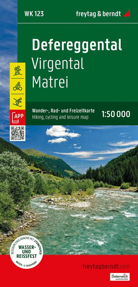
The Defereggental hiking, cycling and leisure map is the ideal map for hikes, bike tours and excursions in the region. With the hiking and cycling map you can ideally plan your tours and find out about sights and viewpoints along the route. For winter sports enthusiasts, the map offers ski routes, cross-country ski trails and all cable cars and lifts. Information on the Defereggental hiking and cycling map Scale 1:50,000 Hiking and long-distance trails Cycle paths and mountain bike tours Ski routes and cross-country ski trails Tourist information Rother App Waterproof and tear-resistant approx. 82 x 68 cm, double-sided Waterproof and tear-resistant So that the hiking map can also be used for orientation on rainy days, it is printed on a special waterproof and durable paper. Manufactured using resources sparingly The card is made of 80% ground limestone. The production process is much more resource-efficient than with conventional paper, as the consumption of water, wood and energy is significantly lower. Printed in Austria.
166 kr
Skickas inom 3-6 vardagar
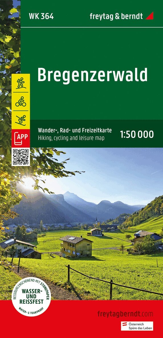
Thanks to the detailed digital cartography and precise scales, freytag & berndt hiking maps are ideal companions for hiking, mountaineering and ski tours. The 'Bregenzerwald Hiking Map 1:50,000' is regularly revised and contains updated information on hiking trails, cycling and mountain bike routes, huts, natural monuments, cultural sights and leisure facilities. The enclosed information booklet contains a selection of the best hiking trails, cycle paths and mountain bike routes as well as a brief description of the individual communities and their leisure activities. (Language: German) Leisure information, hiking and long-distance hiking trails, mountain bike and cycling tours, location register with postal codes, GPS compatible, via ferrata, ski route, cross-country ski route, Nordic walking route; Region: Bregenzerwald, Kleinwalsertal, Großes Walsertal, Vorarlberg, Austria, Allgäu Alps; Special themed hiking trails: Northern Alpine Trail, Central Alpine Trail, Pre-Alpine Trail, St. James Way, Via Alpina, family hike to the Diedamskopf, circular hiking trail to the Hohe Kugel; Special cycling and mountain bike tours: Rhine Valley cycle path, Lake Constance cycle path, Bregenzerwald cycle path, Auf der Hohe Kugel, Kleinwalsertaler Tälerrunde; Environment maps: WK 351, WK 374, WK 375, WK 5364, WK 5374, WK D10;
166 kr
Skickas inom 3-6 vardagar
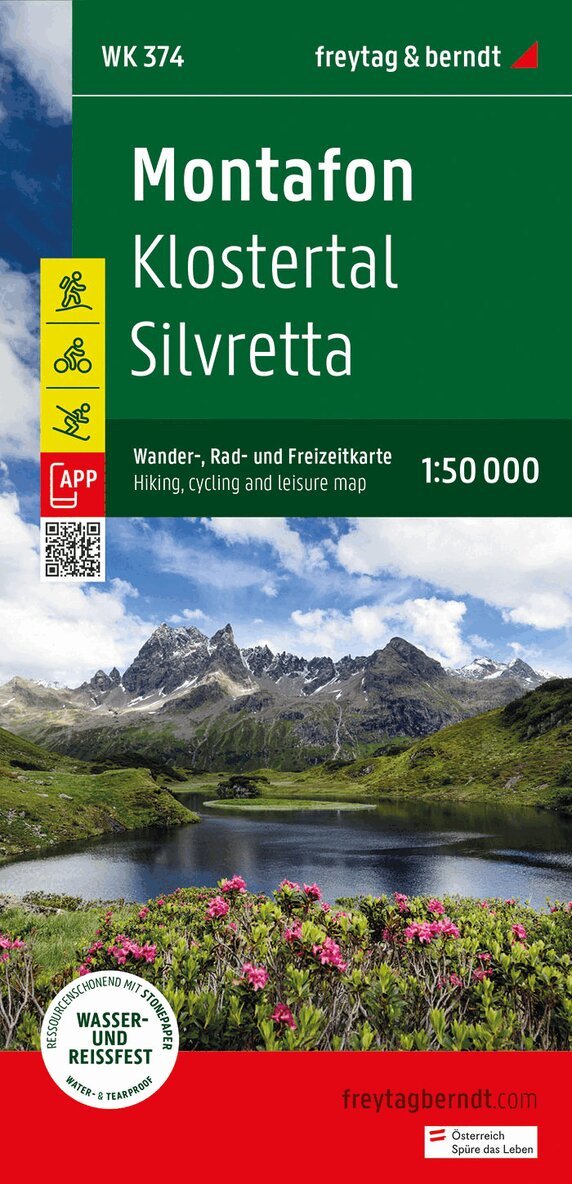
The Montafon hiking, cycling and leisure map offers detailed information about the hiking and cycling trails in Montafon, Klostertal and the Silvretta. With the hiking and cycling map you can ideally plan your tours and find out about the sights along the route. Information on the Montafon hiking and cycling map 1:50,000 Hiking and long-distance hiking trails Mountain bike and cycle paths Ski route, cross-country ski trails Roth app Waterproof and tear-resistant 82 x 90 cm, double-sided Rother App The linked free version of the Rother App offers a digital map with the complete hiking trails as well as some sample tours in the region (free registration required). Waterproof and tear-resistant So that the Montafon hiking map can be used for orientation even on rainy days, it is printed on a special waterproof and durable paper. Manufactured to conserve resources The card consists of 80% ground limestone. The production is much more resource-efficient than conventional paper because the consumption of water, wood and energy is significantly lower.
166 kr
Skickas inom 3-6 vardagar
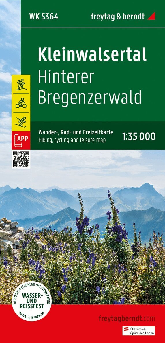
The Kleinwalsertal hiking, cycling and leisure map offers detailed information about the hiking and cycling trails in Kleinwalsertal and the Hinterer Bregenzerwald. You can use the map to plan your hikes and bike tours and find out about the sights along the route. Information on the Kleinwalsertal hiking and cycling map 1:35,000 Hiking and long-distance hiking trails Mountain bike and cycle paths Ski route, cross-country ski trails Roth app Waterproof and tear-resistant 82 x 69 cm, double-sided Rother App The linked free version of the Rother App offers a digital map with the complete hiking trails as well as some sample tours in the region (free registration required). Waterproof and tear-resistant So that the Kleinwalsertal hiking map can be used for orientation even on rainy days, it is printed on a special waterproof and durable paper. Manufactured to conserve resources The card consists of 80% ground limestone. The production is much more resource-efficient than conventional paper because the consumption of water, wood and energy is significantly lower.
Engelska, 2024
166 kr
Skickas inom 3-6 vardagar
The Arlberg hiking, cycling and leisure map provides detailed information about the hiking and cycling trails in the Arlberg, Lech, Verwall Group, Klostertal and Stanzer Tal regions. With the hiking and cycling map you can ideally plan your tours and find out about the sights along the route. Information about the Arlberg hiking and cycling map 1:35,000 Hiking and long-distance trails Mountain bike and cycle paths Ski route, cross-country ski trails Rother-App Waterproof and tear-resistant Rother App The linked free version of the Rother App offers a digital map with all the hiking trails as well as some sample tours in the region (free registration required). Waterproof and tear-resistant So that the Arlberg hiking map can also be used for orientation on rainy days, it is printed on a special waterproof and durable paper. Manufactured using resources sparingly The card is made of 80% ground limestone. The production process is much more resource-efficient than with conventional paper, as the consumption of water, wood and energy is significantly lower. Printed in Austria.
Engelska, 2024
166 kr
Skickas inom 3-6 vardagar
Thanks to the detailed digital cartography and the precise scales, freytag & berndt hiking maps are ideal companions for hiking, mountaineering and ski tours. The Montafon hiking map is revised regularly and contains updated information on hiking trails, cycle and mountain bike trails, huts, natural monuments, cultural sights and leisure facilities. Region: Montafon, Vorarlberg Special themed hiking trails: Central Alpine Trail, Via Alpina, Way of St. James, around the Lünersee, Golmi's Research Trail, St. Gallenkircher Verwall Circuit; Environment maps: WK 254, WK 351, WK 364, WK 374, WK 375, WK 5374, WK 5504;
166 kr
Skickas inom 3-6 vardagar
Thanks to the detailed digital cartography and precise scales, freytag & berndt hiking maps are ideal companions for hiking, mountaineering and ski tours. They are regularly revised and contain updated information on hiking trails, cycling and mountain bike routes, huts, natural monuments, cultural attractions and leisure facilities. The enclosed information booklet contains a selection of the best hiking trails, cycle paths and mountain bike routes as well as a brief description of the individual communities and their leisure activities. (Language: German) Leisure information, hiking and long-distance hiking trails, mountain bike and cycling tours, location register with postal codes, GPS compatible, via ferrata, ski route, cross-country ski route, Nordic walking route, UTM; Region: Upper Inn Valley, Samnaun, Paznaun, Tyrol, Vorarlberg, Graubünden, Switzerland; Special themed hiking trails: Northern Alpine Trail, Central Alpine Trail, St. James Way, Via Alpina, Eagle Trail, Via Claudia Augusta, Wassertalweg to Gfrans, Madleinsee; Special cycling and mountain bike tours: Bike Trail Tyrol, Stanzertal cycle path, Inn cycle path, Via Claudia Augusta cycle path, Paznauner Talweg, Zeblasjoch tour, Medrigalp downhill;
166 kr
Skickas inom 3-6 vardagar
Thanks to the detailed digital cartography and precise scales, freytag & berndt hiking maps are ideal companions for hiking, mountaineering and ski tours. The 'WK 351 Lechtal Alps - Allgäu Alps, hiking map 1:50,000' is regularly revised and contains updated information on hiking trails, cycling and mountain bike routes, huts, natural monuments, cultural sights and leisure facilities. The enclosed information booklet contains a selection of the best hiking trails, cycle paths and mountain bike routes as well as a brief description of the individual communities and their leisure activities. (Language: German) Leisure information, hiking and long-distance hiking trails, mountain bike and cycling tours, location register with postal codes, GPS compatible, via ferrata, ski route, cross-country ski route, Nordic walking route; Region: Lechtal Alps, Lechtal, Oberinntal, Tyrol, Allgäu Alps, Allgäu, Oberallgäu, Germany; Long-distance hiking trails and special themed hiking trails: E4, E5, Nordalpenweg, Jakobsweg, Adlerweg, Via Alpina, Lechweg, Via Claudia Augusta, Holzgau-Steeg circular hike, Memminger Hütte, Parseierspitze; Special cycle and mountain bike tours: Inn cycle path (Inntal cycle path), Lech cycle path, Bike Trail Tirol, Via Claudia Augusta cycle route, Stanzertal cycle path, Falterschein circuit, Martinau high-altitude circular route; Environment maps: WK 251, WK 254, WK 352, WK 364, WK 374;
Engelska, 2024
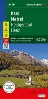
162 kr
Skickas inom 3-6 vardagar
Freytag & Berndt hiking maps are the perfect companion for hiking, mountaineering and ski touring, thanks to detailed digital cartography and precise yardsticks. They are regularly revised and contain updated information on hiking trails, cycling and mountain biking trails, huts, natural monuments, cultural attractions and leisure facilities.The enclosed information booklet contains a selection of the best hiking trails, cycle paths and mountain bike trails as well as a short description of the individual municipalities with their leisure time activities. (Language: German)Leisure information, hiking and long-distance hiking trails, mountain biking and cycling tours, local register with zip codes, GPS-capable, via ferrata, ski route, cross-country route, Nordic walking trail;Region: Val Pusteria, Iseltal, Defereggental, Lienz basin, Lienz Dolomites, Hohe Tauern, Lienz district, East Tyrol, Glockner group, Mölltal, Oberdrautal, CarinthiaSpecial hiking theme trails:Jakobsweg, Arnoweg, Adlerweg, Alpe Adria Trail, Through the Zedlacher Paradies, Pustertaler Almweg to the Hochstein, Geo-Trail Tauernfenster;Special cycling and mountain bike tours:Drauradweg, Glockner Cycle Path, Iseltal Cycle Path, Lucknerhaus - Glocknerblick, Grünalmtal