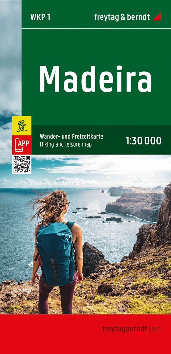
Defereggental, Virgental, Matrei WK123
1:50,000 Hiking, cycling & Leisure Map
154 kr
Beställningsvara. Skickas inom 3-6 vardagar. Fri frakt över 249 kr.
Beskrivning
The Defereggental hiking, cycling and leisure map is the ideal map for hikes, bike tours and excursions in the region. With the hiking and cycling map you can ideally plan your tours and find out about sights and viewpoints along the route. For winter sports enthusiasts, the map offers ski routes, cross-country ski trails and all cable cars and lifts. Information on the Defereggental hiking and cycling map Scale 1:50,000 Hiking and long-distance trails Cycle paths and mountain bike tours Ski routes and cross-country ski trails Tourist information Rother App Waterproof and tear-resistant approx. 82 x 68 cm, double-sided Waterproof and tear-resistant So that the hiking map can also be used for orientation on rainy days, it is printed on a special waterproof and durable paper. Manufactured using resources sparingly The card is made of 80% ground limestone. The production process is much more resource-efficient than with conventional paper, as the consumption of water, wood and energy is significantly lower. Printed in Austria.