
Children’s Wall Map of the United Kingdom and Ireland
Ideal Way for Kids to Improve Their Uk Knowledge
Engelska, 2017
97 kr
Tillfälligt slut
Beskrivning
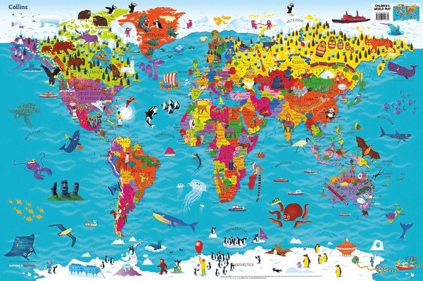
Colourful Illustrated Map of the United Kingdom and IrelandThis highly illustrated, rolled pictorial map is designed to take children on a journey of discovery around the United Kingdom and Ireland.Stunning illustrations are used to depict themes such as national emblems, customs, food, birds, animals, buildings and sports to help younger readers gain an understanding of peoples around the world.Illustrated by Steve Evans.
Produktinformation
Utforska kategorier
Mer om författaren
Hoppa över listan
Du kanske också är intresserad av
Homework Guide 2
Jo Power, Caroline Clissold, Nicola Morgan, Louise Wallace, Cherri Moseley, Peter Clarke
Häftad
1 351 kr