
Remote Sensing and GIS Integration: Theories, Methods, and Applications
Theory, Methods, and Applications
E-bok
Engelska, 20092 320 kr
Läs direkt i Bokus Reader – eller ladda ned till din enhet
Fler format och utgåvor
Beskrivning
Publisher''s Note: Products purchased from Third Party sellers are not guaranteed by the publisher for quality, authenticity, or access to any online entitlements included with the product.
Maximize a geographical information tool by incorporating it with up-to-date remotely sensed data
GIS is predominantly a data-handling technology, while remote sensing is a data retrieval and analysis technology. This book addresses the need to combine remotely sensed data with cartographic, socioeconomic, and environmental data and GIS functionalities.
Remote Sensing and GIS Integration begins with theoretical discussions, followed by a series of application areas in urban and environmental studies that employ the integration of remote sensing and GIS. Each application area is examined through analysis of state-of-the-art methods and detailed presentations of one or more case studies.
Produktinformation
Utforska kategorier
Hoppa över listan
Mer från samma författare
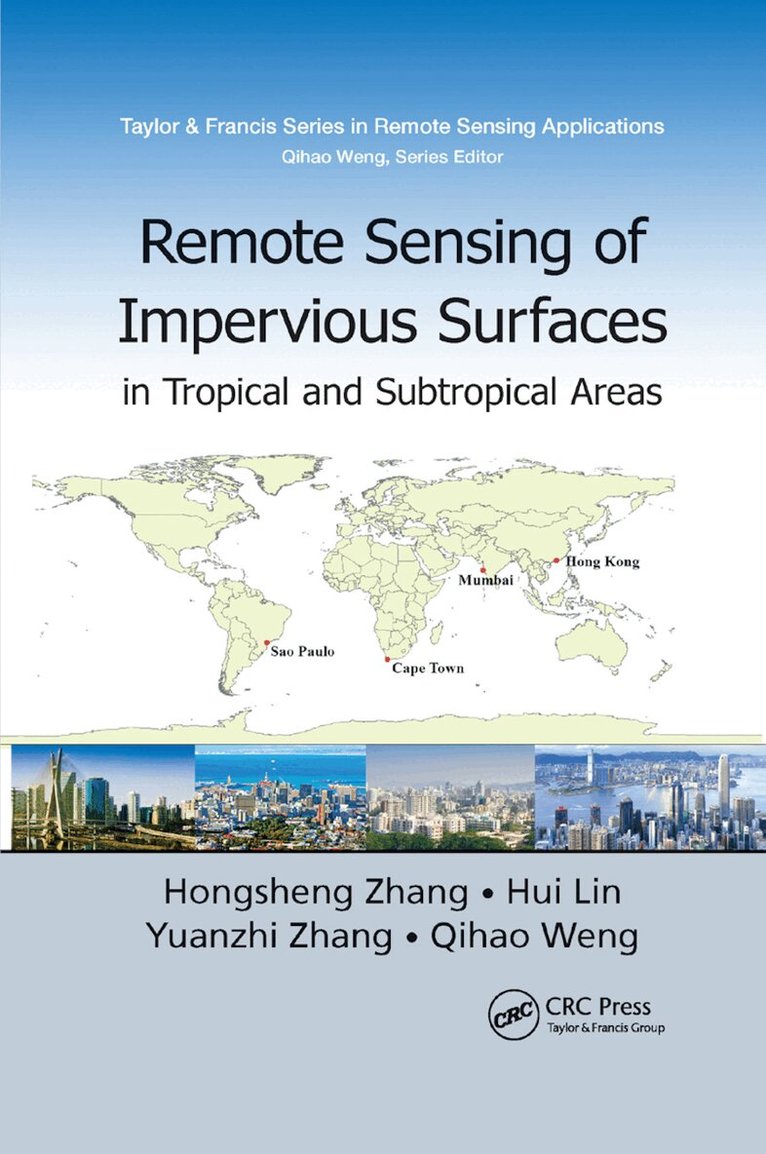
Remote Sensing of Impervious Surfaces in Tropical and Subtropical Areas
Hongsheng Zhang, Hui Lin, Yuanzhi Zhang, Qihao Weng
Häftad, 2019
840 kr
Hoppa över listan
Du kanske också är intresserad av
Remote Sensing and GIS Integration: Theories, Methods, and Applications
Qihao Weng
Inbunden, 2009
1 814 kr