
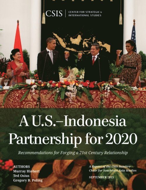
South China Sea in Focus
Clarifying the Limits of Maritime Dispute
770 kr
Beställningsvara. Skickas inom 10-15 vardagar. Fri frakt över 249 kr.
Fler format och utgåvor
Beskrivning
Satellite imagery and geospatial analysis tools offer an unprecedented opportunity to harness new technologies in order to help resolve boundary disputes. The South China Sea in Focus: Clarifying the Limits of Maritime Dispute uses these tools to provide a first and necessary step toward tackling the overlapping maritime disputes in the South China Sea: determining which waters are and are not in dispute under international law. The report opens with a set of geographic information system (GIS)–based maps that provide an easily understandable benchmark against which policymakers and academics can judge the claims and actions of the South China Sea claimants. More detailed color maps and methodological information follow for those who want to dig deeper into the claims and the report’s conclusions.
Produktinformation
Utforska kategorier
Mer om författaren
Hoppa över listan
Mer från samma författare
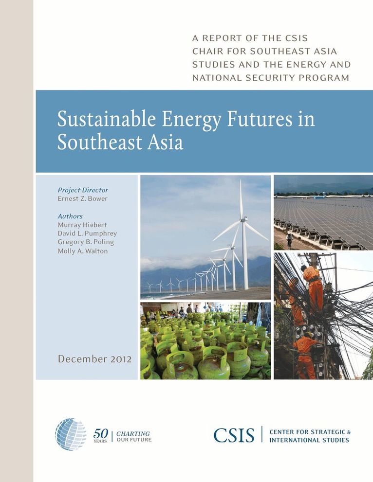
Sustainable Energy Futures in Southeast Asia
Murray Hiebert, David L. Pumphrey, Gregory B. Poling
Häftad, 2013
701 kr
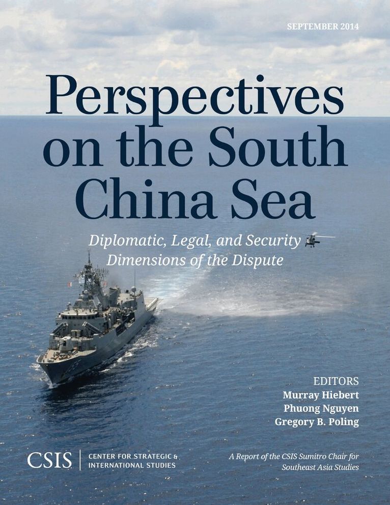
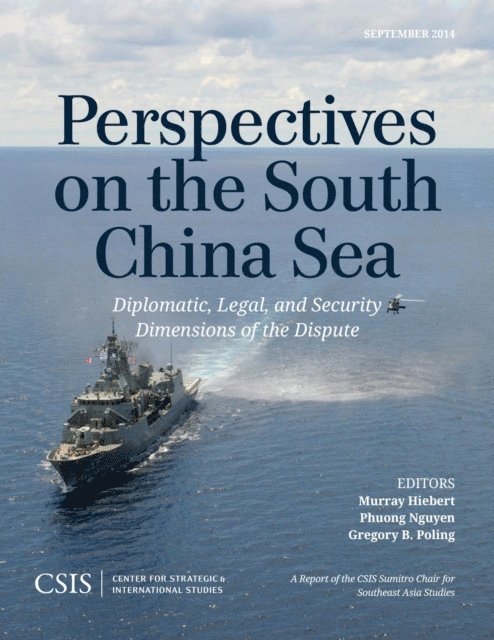
Perspectives on the South China Sea
Murray Hiebert, Phuong Nguyen, Gregory B. Poling
Häftad, 2014
701 kr
Hoppa över listan


Mer från samma serie
Del 27
Sustainable Energy Futures in Southeast Asia
Murray Hiebert, David L. Pumphrey, Gregory B. Poling
Häftad, 2013
701 kr
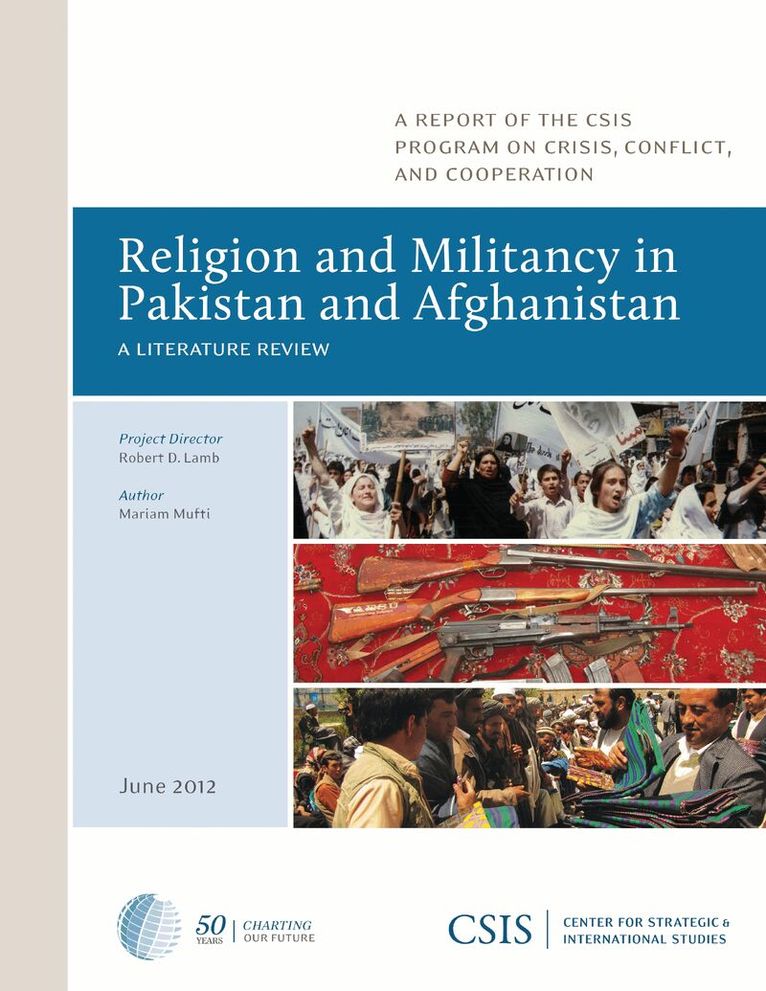
Rise of Radical and Nonofficial Islamic Groups in Russia's Volga Region
Sergey Markedonov
Häftad, 2013
588 kr
Hoppa över listan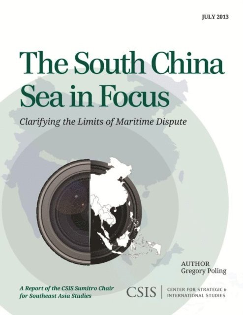
Du kanske också är intresserad av
Building a More Robust U.S.-Philippines Alliance
Murray Hiebert, Phuong Nguyen, Gregory B. Poling
E-bok
2015590 kr
Examining the South China Sea Disputes
Murray Hiebert, Phuong Nguyen, Gregory B. Poling
E-bok
2015590 kr
Sustainable Energy Futures in Southeast Asia
Murray Hiebert, David L. Pumphrey, Gregory B. Poling
Häftad, 2013
701 kr
Southeast Asia's Geopolitical Centrality and the U.S.-Japan Alliance
Ernest Z. Bower, Murray Hiebert, Phuong Nguyen, Gregory B. Poling
E-bok
2015501 kr
Perspectives on the South China Sea
Murray Hiebert, Phuong Nguyen, Gregory B. Poling
Häftad, 2014
701 kr