
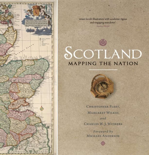
Scotland: Mapping the Nation
Inbunden, Engelska, 2017
399 kr
Skickas . Fri frakt över 249 kr.
Beskrivning
Winner of the Saltire Society Research Book of the YearWhilst documents and other written material are obvious resources that help shape our view of the past, maps too can say much about a nation's history. This is the first book to take maps seriously as a form of history, from the earliest representations of Scotland by Ptolemy in the second century AD to the most recent form of Scotland's mapping and geographical representation in GIS, satellite imagery and SATNAV.Compiled by three experts who have spent their lives working with maps, Scotland: Mapping the Nation offers a fascinating and thought-provoking perspective on Scottish history which is beautifully illustrated with complete facsimiles and details of hundreds of the most significant manuscript and printed maps from the National Library of Scotland and other institutions, including those by Timothy Pont, Joan Blaeu and William Roy, amongst many others.
Produktinformation
Utforska kategorier
Mer om författaren
Recensioner i media
Hoppa över listan
Du kanske också är intresserad av
Del 33
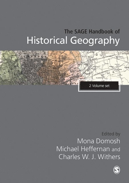
SAGE Handbook of Historical Geography
Charles W. J. Withers, Michael Heffernan, Mona Domosh
E-bok
20202 516 kr