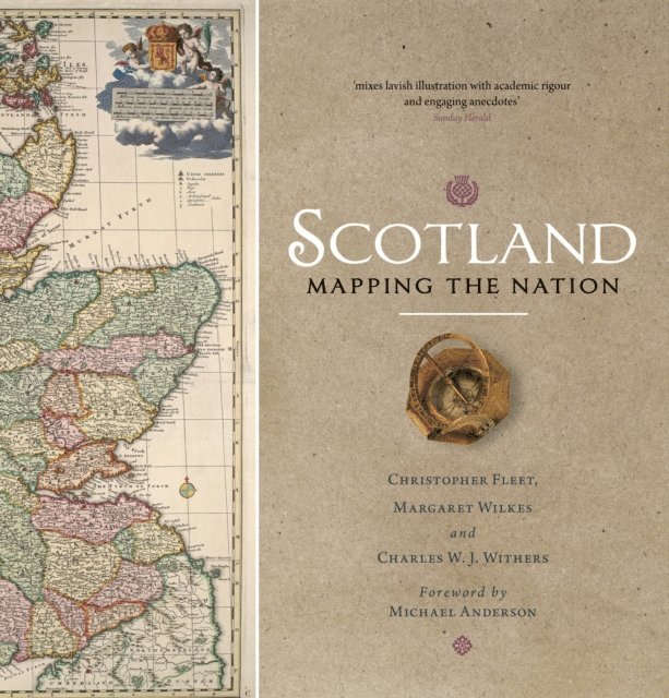
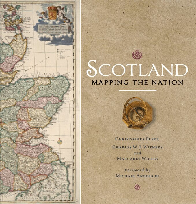
Winner of the Saltire Society Research Book of the YearWhilst documents and other written material are obvious resources that help shape our view of the past, maps too can say much about a nation''s history. This is the first book to take maps seriously as a form of history, from the earliest representations of Scotland by Ptolemy in the second century AD to the most recent form of Scotland''s mapping and geographical representation in GIS, satellite imagery and SATNAV.Compiled by three experts who have spent their lives working with maps, Scotland: Mapping the Nation offers a fascinating and thought-provoking perspective on Scottish history which is beautifully illustrated with complete facsimiles and details of hundreds of the most significant manuscript and printed maps from the National Library of Scotland and other institutions, including those by Timothy Pont, Joan Blaeu and William Roy, amongst many others.
Winner of the Saltire Society Research Book of the YearWhilst documents and other written material are obvious resources that help shape our view of the past, maps too can say much about a nation's history. This is the first book to take maps seriously as a form of history, from the earliest representations of Scotland by Ptolemy in the second century AD to the most recent form of Scotland's mapping and geographical representation in GIS, satellite imagery and SATNAV.Compiled by three experts who have spent their lives working with maps, Scotland: Mapping the Nation offers a fascinating and thought-provoking perspective on Scottish history which is beautifully illustrated with complete facsimiles and details of hundreds of the most significant manuscript and printed maps from the National Library of Scotland and other institutions, including those by Timothy Pont, Joan Blaeu and William Roy, amongst many others.
Scotland has had a uniquely important military history over the last five centuries. Conflict with England in the 16th century, Jacobite rebellions in the 18th century, 20th-century defences and the two world wars, as well as the Cold War, all resulted in significant cartographic activity.In this book two map experts explore the extraordinarily rich legacy of Scottish military mapping, including fortification plans, reconnaissance mapping, battle plans, plans of military roads and routeways, tactical maps, plans of mines, enemy maps showing targets, as well as plans showing the construction of defences. In addition to plans, elevations and views, they also discuss unrealised proposals and projected schemes. Most of the maps – some of them reproduced in book form for the first time – are visually striking and attractive, and all have been selected for the particular stories they tell about both attacking and defending the country.
Winner of the Saltire Society Research Book of the YearWhilst documents and other written material are obvious resources that help shape our view of the past, maps too can say much about a nation''s history. This is the first book to take maps seriously as a form of history, from the earliest representations of Scotland by Ptolemy in the second century AD to the most recent form of Scotland''s mapping and geographical representation in GIS, satellite imagery and SATNAV.Compiled by three experts who have spent their lives working with maps, Scotland: Mapping the Nation offers a fascinating and thought-provoking perspective on Scottish history which is beautifully illustrated with complete facsimiles and details of hundreds of the most significant manuscript and printed maps from the National Library of Scotland and other institutions, including those by Timothy Pont, Joan Blaeu and William Roy, amongst many others.
Winner of the Saltire Society Research Book of the YearWhilst documents and other written material are obvious resources that help shape our view of the past, maps too can say much about a nation's history. This is the first book to take maps seriously as a form of history, from the earliest representations of Scotland by Ptolemy in the second century AD to the most recent form of Scotland's mapping and geographical representation in GIS, satellite imagery and SATNAV.Compiled by three experts who have spent their lives working with maps, Scotland: Mapping the Nation offers a fascinating and thought-provoking perspective on Scottish history which is beautifully illustrated with complete facsimiles and details of hundreds of the most significant manuscript and printed maps from the National Library of Scotland and other institutions, including those by Timothy Pont, Joan Blaeu and William Roy, amongst many others.
Scotland has had a uniquely important military history over the last five centuries. Conflict with England in the 16th century, Jacobite rebellions in the 18th century, 20th-century defences and the two world wars, as well as the Cold War, all resulted in significant cartographic activity.In this book two map experts explore the extraordinarily rich legacy of Scottish military mapping, including fortification plans, reconnaissance mapping, battle plans, plans of military roads and routeways, tactical maps, plans of mines, enemy maps showing targets, as well as plans showing the construction of defences. In addition to plans, elevations and views, they also discuss unrealised proposals and projected schemes. Most of the maps – some of them reproduced in book form for the first time – are visually striking and attractive, and all have been selected for the particular stories they tell about both attacking and defending the country.