
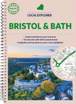
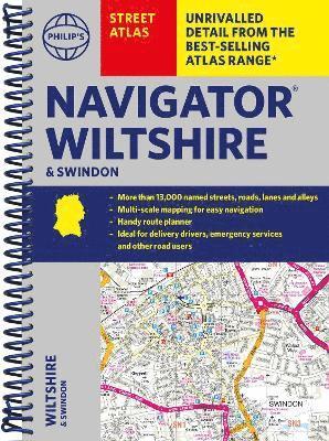
Philip's Navigator Street Atlas Bristol & Bath
177 kr
Beställningsvara. Skickas inom 5-8 vardagar. Fri frakt över 249 kr.
Beskrivning
The only street atlas of its kind, this fully updated mapping of Bristol and Bath gives comprehensive and detailed coverage of the county and unitary authority - perfect for finding the best and most effective route anywhere in the area.Routinely used by the emergency services, the street maps show every named road, street and lane very clearly, with major roads picked out in colour. The route planner shows all the A and B roads, and can be used when driving to get close to the destination before turning to the relevant large-scale street map. The maps are at a standard scale of 3.5 inches to 1 mile, and show postcode boundaries. Packed with useful information including car parks, railway and bus stations, post offices, schools, colleges, universities, hospitals, police and fire stations, places of worship, leisure centres, footpaths and bridleways, camping and caravan sites, golf-courses, and many other places of interest. The easy-to-use index lists street names and postcodes, plus schools, hospitals, railway stations, shopping centres and other such features picked out in red, with other places of interest shown in blue for quick reference.
Produktinformation
Utforska kategorier
Mer om författaren


Hoppa över listan

Mer från samma serie
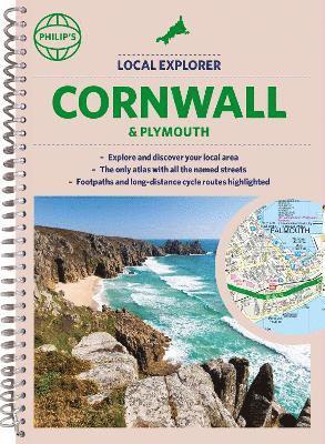
Philip's Local Explorer Street Atlas Cornwall & Plymouth
Philip's Maps, Philip'S Maps
Häftad, 2022
177 kr
Hoppa över listan
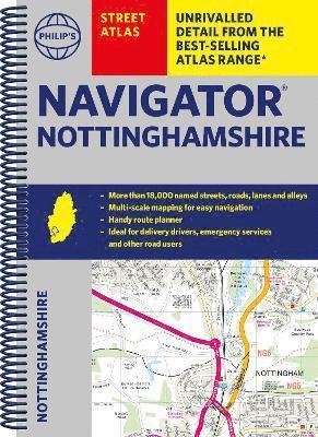
Du kanske också är intresserad av
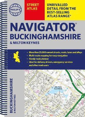
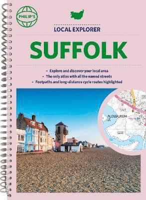
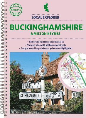
Philip's Navigator Street Atlas Buckinghamshire and Milton Keynes
Philip's Maps, Philip'S Maps
Häftad, 2023
199 kr
Philip's Local Explorer Street Atlas Buckinghamshire and Milton Keynes
Philip's Maps, Philip'S Maps
Häftad, 2023
199 kr