

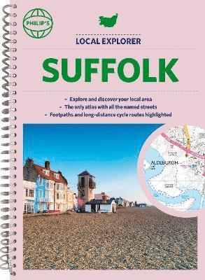
Philip's Navigator Street Atlas Wiltshire and Swindon
200 kr
Beställningsvara. Skickas inom 5-8 vardagar. Fri frakt över 249 kr.
Beskrivning
The only county Street Atlas with all the named streets of Wiltshire and Swindon and perfect back-up for emergency services, delivery drivers, visitors and locals.With more than 13,000 named streets, roads, lanes and alleys, this is the essential map book for residents and visitors - especially if you're in a hurry.Includes all the streets in CHIPPENHAM, DEVIZES, MARLBOROUGH, SALISBURY, SWINDON, TROWBRIDGE, Warminster, Amesbury, Avebury, Bradford-on-Avon, Burbage, Calne, Corsham, Cricklade, Durrington, Frome, Great Bedwyn, Highworth, Hungerford, Lambourn, Larkhill, Lechlade-on-Thames, Little Bedwyn, Ludgershall, Lyneham, Malmesbury, Melksham, Mere, Pewsey, Purton, Royal Wootton Bassett, Shaftesbury, South Cerney, Stourton, Tidworth, Westbury, Wilton.- New completely revised edition in practical spiral-bound format- Street maps show car parks, schools, hospitals and many other places of interest, including off the beaten track- 4-page practical route-planning section showing all A and B roads- Super-clear mapping- Easy-to-use index- Scales: 1¾ inches to 1 mile (1:36,000) and 3½ inches to 1 mile (1:18,000). Other information on the maps includes postcode boundaries, car parks, railway and bus stations, post offices, schools, colleges, hospitals, police and fire stations, places of worship, leisure centres, footpaths and bridleways, camping and caravan sites, golf courses, and many other places of interest.
Produktinformation
Utforska kategorier
Mer om författaren


Hoppa över listan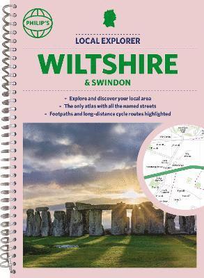

Du kanske också är intresserad av
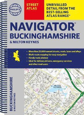
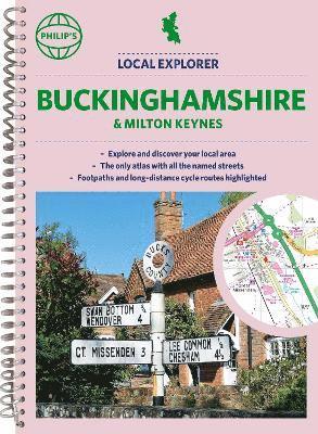
Philip's Navigator Street Atlas Buckinghamshire and Milton Keynes
Philip's Maps, Philip'S Maps
Häftad, 2023
200 kr
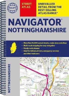
Philip's Local Explorer Street Atlas Buckinghamshire and Milton Keynes
Philip's Maps, Philip'S Maps
Häftad, 2023
200 kr