
A-Z Maps – författare
Visar alla böcker från författaren . Handla med fri frakt och snabb leverans.
86 produkter
86 produkter
Häftad, Engelska, 2026
115 kr
Skickas
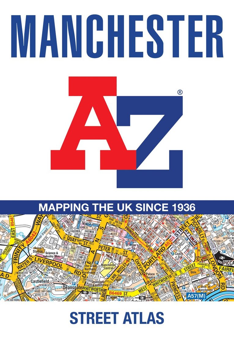
Navigate your way around Manchester with this detailed and easy-to-use A-Z Street Atlas.Printed in full-colour, paperback format, this atlas contains more than 90 pages of continuous street mapping in a NEW A5 format for ease of use.Coverage extends to: Haywood in the north, Droyslsden in the east, Altringham in the south, and Walkden in the west. Additional pages cover the city centre with large-scale mapping. Postcode districts, one-way streets and National Park boundaries are also featured on the mapping.The index section lists streets, selected flats, walkways and places of interest, place and area names, National Rail and Metrolink station names, hospitals, hospices and NHS Walk-in Centres.
Häftad, Engelska, 2023
91 kr
Skickas
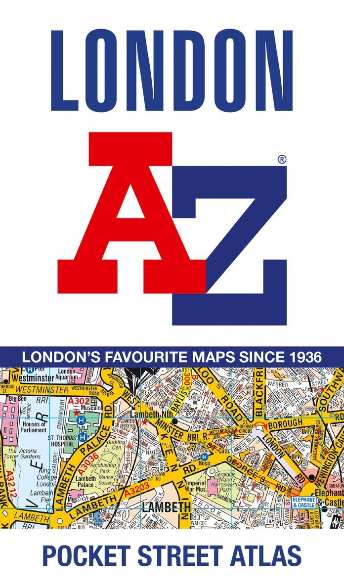
A pocket-sized, paperback street atlas of Central London and the surrounding areas in full colour.Covering an area extending from the centre of London to: Brent Cross, Golders Green, Highgate, Finsbury Park, Stoke Newington, Leytonstone, Wanstead, West Ham, Thames Flood Barrier, Eltham, Grove Park, Catford, Streatham, Wimbledon, Barnes Bridge, Willesden Junction, Neasden.Highlights include: Large scale 3 inches to 1 mile mapIndex to more than 35,700 streetsAdditional street map section of the inner London area which extends north to Regent's Park and Shoreditch, south to London Victoria station and Lambeth, west to Hyde Park and east to Tower BridgeOne-way streets and safety camera locations with their maximum speed limit are featured on both scales of street mappingCongestion charging zone boundary is shown on both scales of mappingThe comprehensive index lists streets, selected flats, walkways and places of interest, place, area and junction names. There are separate index listings for both hospitals, walk-in centres and hospices and for the National Rail, London Tramlink, Docklands Light Railway, London Underground and Overground stations and River Bus piers covered by this atlas.Previously published as London Mini A-Z Street Atlas.
Häftad, Engelska, 2025
115 kr
Skickas
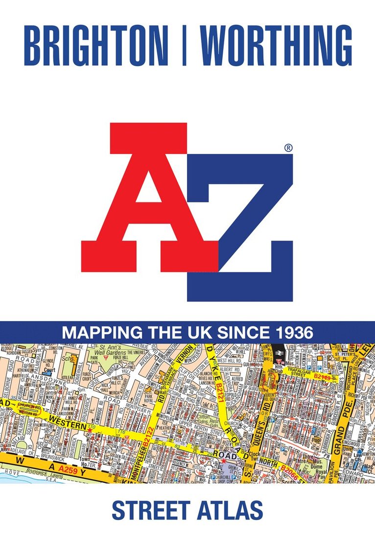
Navigate your way around Brighton and Worthing with this detailed and easy-to-use A-Z Street Atlas. Printed in full-colour, paperback format, this atlas contains 41 pages of continuous street mapping.The main mapping extends to Hove, Newhaven, Shoreham-by-Sea at a scale of 4 inches to 1 mile, featuring postcode districts, one-way streets, park and ride sites, and safety camera locations. Areas covered include:• Findon• Durrington• Goring-by-Sea• Lancing• Southwick• Patcham• Falmer• Woodingdean• Saltdean• Rottingdean• PeacehavenSeparate coverage of Lewes, Seaford, Steyning, Bramber and Upper Beeding is provided.The large-scale street map of Brighton city centre – at a scale of 8 inches to 1 mile – includes:• Postcode map of the Brighton area• Road map of the Brighton areaA comprehensive index lists streets, selected flats, walkways and places of interest, place, area and station names. Additional healthcare (hospitals, walk-in centres and hospices) are indexed as well.
Häftad, Engelska, 2025
153 kr
Skickas
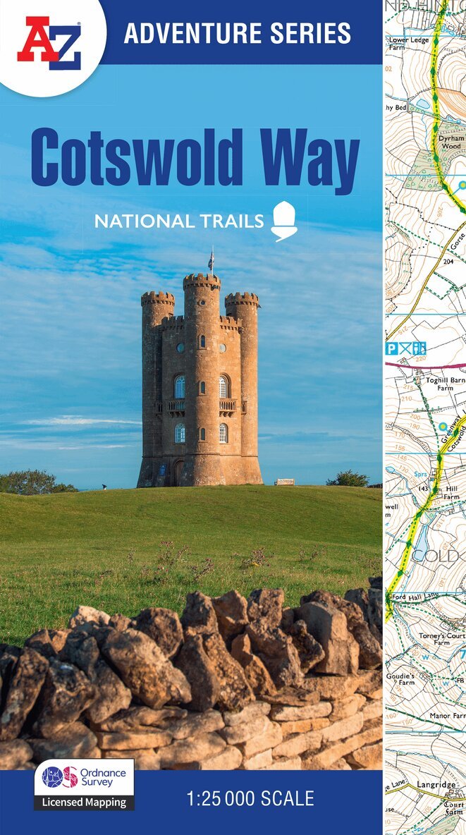
The A-Z Adventure Series uses Ordnance Survey mapping and is the perfect companion for walkers, off-road cyclists, and anyone wishing to explore the great outdoors.The Cotswold Way is a 102 mile (164 km) National Trail running along the Cotswold Hills. Starting in the historic City of Bath and finishing in Chipping Campden, the clearly marked route passes through numerous places of interest and an abundance of wildlife.This official National Trail Map features detailed Ordnance Survey mapping at a scale of 1:25 000, providing complete coverage of the Cotswold Way. There is also a route planner included to show distances between places and the amenities available making it easy to plan your adventure. Additional features include: Information CentresHotels/B&BsYouth HostelsCampsites (seasonal opening)Public HousesRestaurantsShopsCafes (seasonal opening)Petrol StationsOther books available in the A-Z Adventure series include: Peak District (Dark Peak), Peddars Way and Norfolk Coast Path, South Downs Way, Pembrokeshire Coast Path, South West Coast Path and The North Coast 500.
Häftad, Engelska, 2023
212 kr
Tillfälligt slut
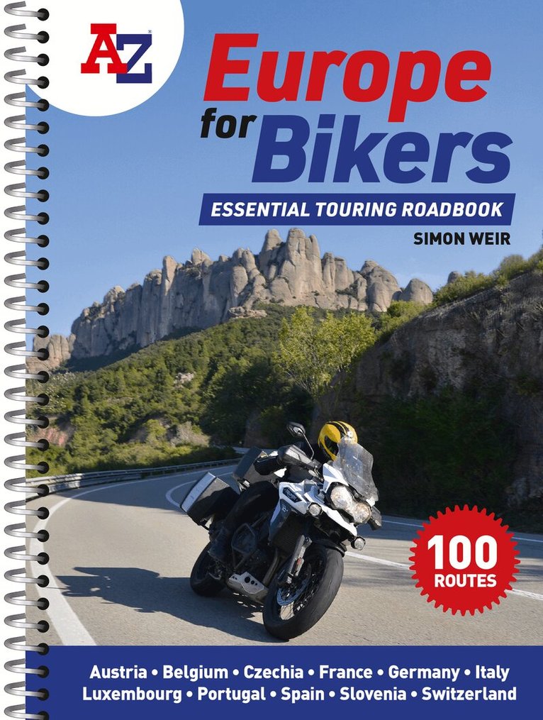
Discover the best biking routes around Europe.The definitive European motorcycle touring bible, with the best biking roads presented in 100 easy-to-follow, tried-and-tested routes from motorcycle journalist, author and traveller Simon Weir.From the peaks of the Picos de Europa to the sun-kissed shores of Sicily, from Alpine passes to dramatic gorges, atmospheric forests and fabulous historic sites, A-Z Europe for Bikers is packed with fantastic places to ride.With full-day and multi-day touring rides across the whole of western Europe, each route is presented with turn-by-turn directions and detailed mapping, with all the key attractions highlighted. Printed on high-durability paper and spiral bound to fit in a tankbag, you need never end up on a dull road again.Packed with practical advice and stunning photography, there are memorable rides to be discovered in every corner of Portugal, Spain, France, Belgium, Luxembourg, Germany, Austria, Czechia, Switzerland, Slovenia and Italy.Features include: 100 great biking routes to discover on your European adventureClear, detailed maps to help you planRoutes for short days and long daysIdeal size for fitting in a tank bag
Häftad, Engelska, 2022
88 kr
Skickas
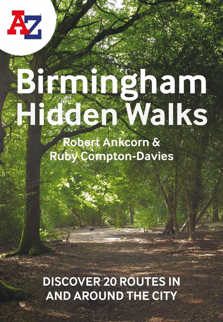
Discover hidden gems around Birmingham with 20 walking routes.Featuring 20 walks in and around the city, including lesser-known circuits and details on popular walks. Accompanied by guided walking instructions and written by local experts, A-Z Birmingham Hidden Walks is the perfect way to explore the city in a new light.Small enough to fit in a bag or pocket, this handy guidebook is ideal for tourists or locals looking to discover more about the city. Each route varies in length from 1 to 6 miles (1.6 to 9.6 km), and is clearly outlined on detailed A-Z street mapping.• 20 walking routes with instructions and maps• Full-colour photographs of hidden gems and city attractions• Key sights and locations clearly marked on map• Information such as start/finish points, nearest postcodes, distance and terrain includedMore from the A-Z Hidden Walks series:A-Z Birmingham Hidden WalksA-Z Bristol & Bath Hidden WalksA-Z Edinburgh Hidden WalksA-Z London Hidden WalksA-Z Oxford Hidden WalksA-Z York Hidden WalksA-Z Brighton Hidden WalksA-Z Cambridge Hidden WalksA-Z Manchester Hidden WalksA-Z Liverpool Hidden Walks
Häftad, Engelska, 2022
91 kr
Skickas
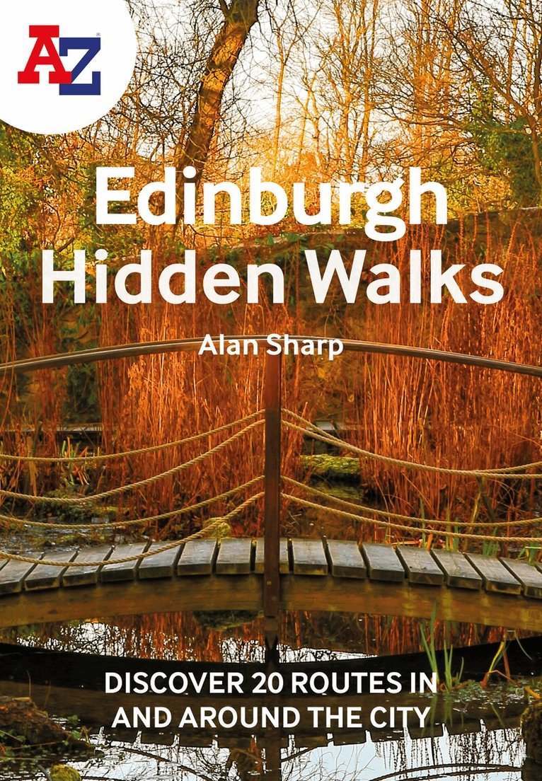
Discover hidden gems around Edinburgh with 20 walking routes.Featuring 20 walks in and around the city, including lesser-known circuits and details on popular walks. Accompanied by guided walking instructions and written by a local expert, A-Z Edinburgh Hidden Walks is the perfect way to explore the city in a new light.Small enough to fit in a bag or pocket, this handy guidebook is ideal for tourists or locals looking to discover more about the city. Each route varies in length from 1 to 6 miles (1.6 to 9.6 km), and is clearly outlined on detailed A-Z street mapping.• 20 walking routes with instructions and maps• Full-colour photographs of hidden gems and city attractions• Key sights and locations clearly marked on map• Information such as start/finish points, nearest postcodes, distance and terrain includedMore from the A-Z Hidden Walks series:A-Z Birmingham Hidden WalksA-Z Bristol & Bath Hidden WalksA-Z Edinburgh Hidden WalksA-Z London Hidden WalksA-Z Oxford Hidden WalksA-Z York Hidden WalksA-Z Brighton Hidden WalksA-Z Cambridge Hidden WalksA-Z Manchester Hidden WalksA-Z Liverpool Hidden Walks
Häftad, Engelska, 2022
91 kr
Skickas
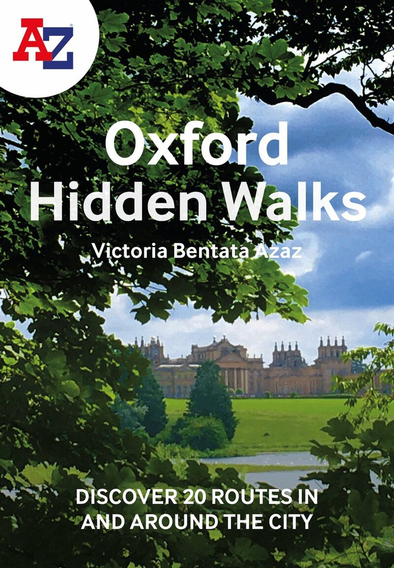
Discover hidden gems around Oxford with 20 walking routes.Featuring 20 walks in and around the city, including lesser-known circuits and details on popular walks. Accompanied by guided walking instructions and written by a local expert, A-Z Oxford Hidden Walks is the perfect way to explore the city in a new light.Small enough to fit in a bag or pocket, this handy guidebook is ideal for tourists or locals looking to discover more about the city. Each route varies in length from 1 to 6 miles (1.6 to 9.6 km), and is clearly outlined on detailed A-Z street mapping.• 20 walking routes with instructions and maps• Full-colour photographs of hidden gems and city attractions• Key sights and locations clearly marked on map• Information such as start/finish points, nearest postcodes, distance and terrain includedMore from the A-Z Hidden Walks series:A-Z Birmingham Hidden WalksA-Z Bristol & Bath Hidden WalksA-Z Edinburgh Hidden WalksA-Z London Hidden WalksA-Z Oxford Hidden WalksA-Z York Hidden WalksA-Z Brighton Hidden WalksA-Z Cambridge Hidden WalksA-Z Manchester Hidden WalksA-Z Liverpool Hidden Walks
Häftad, Engelska, 2022
91 kr
Skickas
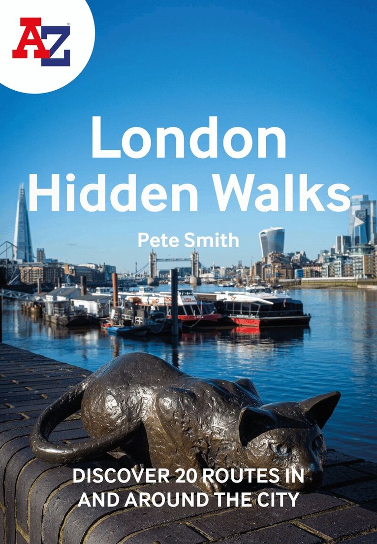
Discover hidden gems around London with 20 walking routes.Featuring 20 walks in and around the city, including lesser-known circuits and details on popular walks. Accompanied by guided walking instructions and written by a local expert, A-Z London Hidden Walks is the perfect way to explore the city in a new light.Small enough to fit in a bag or pocket, this handy guidebook is ideal for tourists or locals looking to discover more about the city. Each route varies in length from 1 to 6 miles (1.6 to 9.6 km), and is clearly outlined on detailed A-Z street mapping.• 20 walking routes with instructions and maps• Full-colour photographs of hidden gems and city attractions• Key sights and locations clearly marked on map• Information such as start/finish points, nearest postcodes, distance and terrain includedMore from the A-Z Hidden Walks series:A-Z Birmingham Hidden WalksA-Z Bristol & Bath Hidden WalksA-Z Edinburgh Hidden WalksA-Z London Hidden WalksA-Z Oxford Hidden WalksA-Z York Hidden WalksA-Z Brighton Hidden WalksA-Z Cambridge Hidden WalksA-Z Manchester Hidden WalksA-Z Liverpool Hidden Walks
Häftad, Engelska, 2022
103 kr
Skickas
Find your way around Northern England with this fully revised and updated road atlas. A full colour regional road atlas featuring 52 pages of road mapping.Covers an area extending to: Berwick-upon-TweedNewcastle upon TyneMiddlesbroughKingston upon HullGrimsbyBostonNottinghamStoke-on-TrentWrexhamChesterLiverpoolBlackpoolBarrow-in-FurnessDumfriesThe road mapping is shown at a clear 3.5 miles to 1 inch scale (2.2 km to 1 cm) and includes the following features: Motorways open with full junction detail, motorways under construction and proposed, service areas, primary routes and destinations, A & B roads, selected minor roads, gradients 1:5 and steeper, tolls, mileages, county boundaries, spot heights and hill shadingSelected safety camera locations with their maximum speed limitsSelected fuel stationsNational Park boundariesSelected places of interest, tourist information centres and golf coursesAlso, within this Northern England Road Atlas are 24 city, town, airport or port plans for: BlackpoolBradfordCarlisleChesterDerbyDumfriesDurhamHarrogateKingston upon HullLeedsLincolnLiverpoolManchesterMiddlesbroughNewcastle upon TyneNottinghamPrestonSheffieldStoke-on-TrentSunderlandYorkManchester AirportKingston upon Hull PortNewcastle upon Tyne PortThe index section lists cities, towns, villages, hamlets and locations covered by this atlas.
Häftad, Engelska, 2023
211 kr
Skickas
Navigate your way in and around Glasgow with this detailed and easy-to-use A-Z Street Atlas.Printed in full-colour, paperback format, this A4 atlas contains 168 pages of continuous street mapping. More than 23,000 streets indexed.The main mapping extends well beyond central Glasgow at a scale of 5.4 inches to 1 mile, featuring postcode districts, one-way streets and park and ride sites.Areas covered include Hamilton, Motherwell, Paisley, Clydebank, Coatbridge, Airdrie, Renfrew, Kirkintilloch, Dumbarton, Milngavie, Cumbernauld, Johnstone, Barrhead, East Kilbride, Larkhall, Carluke.The large-scale street map of Glasgow city centre is at a scale of 10.82 inches to 1 mile.The atlas also includes:• Postcode map of the Glasgow area• Road map of the Glasgow area• Diagrammatic map of rail and subway connectionsA comprehensive index lists streets, places & areas, industrial estates, selected flats & walkways, junction names & service areas, stations and selected places of interest.
Häftad, Engelska, 2023
187 kr
Skickas
Navigate your way around Bristol and Bath with this detailed and easy-to-use A-Z Street Atlas.Printed in full-colour, paperback format, this atlas contains 104 pages of continuous street mapping. More than 12,800 streets indexed. Large scale 6.25 inches to 1 mile map.Areas covered include: Avonmouth, Bradley Stoke, Filton, Keynsham, Kingswood, Mangotsfield, Portishead, Yate, Frampton Cotterell, Chipping Sodbury, Oldland, Swainswick, Batheaston, University of Bath, Combe Down, Bath Spa University, Saltford, Whitchurch, Bedminster, Long Ashton, Easton-in-Gordano, Cribbs Causeway.Also included are large scale city centre maps of both Bristol and Bath and a postcode map of the atlas area.Postcode districts, one-way streets and safety camera locations with their maximum speed are featured on the street mapping.A comprehensive index lists streets, selected flats, walkways and places of interest, place, area and station names. Additional healthcare (hospitals, walk-in centres and hospices) and transport connections are indexed as well.
Häftad, Engelska, 2023
103 kr
Skickas
Navigate your way around Torbay with this detailed and easy-to-use A-Z Street Atlas.Printed in full-colour, paperback format, this atlas contains 38 pages of continuous street mapping. More than 5,100 streets indexed. Large scale 4 inches to 1 mile map.Areas covered include: Brixham, Paignton, Torquay, Kingskerswell, Newton Abbot, Bovey Tracey, Teignmouth, Dawlish, Ashburton, Buckfastleigh, Totnes, Kingsbridge, Salcombe, Dartmouth.In addition, there are insets of: Bishopsteignton, Ipplepen, Stoke Gabriel and a large scale town centre map of Dartmouth.Postcode districts, one-way streets, Park and Ride sites, safety camera locations with their maximum speed and Dartmoor National Park boundary are featured on the mapping.The Places of Interest Guide is both informative and helpful with information about: Tourist Information CentresBoat tripsSelected places of interestThe English RivieraA comprehensive index lists streets, selected flats, walkways and places of interest, place, area and station names. Additional healthcare (hospitals, walk-in centres and hospices) and transport connections are indexed as well.
161 kr
Skickas inom 3-6 vardagar
Navigate your way around Bath with detailed street maps from A-ZThis up-to-date, folded A-Z street map includes all of the 1,500 streets in and around Bath.The large scale 1 mile to 5.5 inch (1 km to 8.68 cm) street map includes the following:• Places of interest• One-way streets and car parks• Index to streets, places of interest, place and area names, park and ride sites, national rail stations, hospitals and hospicesThe perfect reference map for finding your way around Bath.
Häftad, Engelska, 2023
99 kr
Skickas
Full-colour road atlas of Wales, with extended coverage into England and including all the major routes into the country. The detailed road mapping also includes Liverpool, Warrington, Nantwich, Shrewsbury, Hereford, Bristol and Severn River Crossings.Published at a clear 2.5 miles to 1 inch the following features are shown on the road mapping: Motorways open with full junction detail, motorways under construction and proposed, motorway service areas, primary routes and destinations, A and B roads, selected minor roads, gradients 1:5 and steeper, tolls, mileages, national and county boundaries, spot heights and hill shadingSelected places of interest, tourist information centres and golf coursesNational Park boundaries for Snowdonia, Brecon Beacons and Pembrokeshire CoastAlso included are 21 city, town, airport, or port plans for; Aberystwyth; Bangor; Cardiff; Caernarfon; Carmarthen; Chester; Colwyn Bay; Hereford; Llandudno; Llanelli; Merthyr Tydfil; Newport; Prestatyn; Rhyl Shrewsbury; Swansea; Wrexham; Cardiff International Airport; Holyhead Port; and Pembroke Dock.Two separate indexes provide extensive coverage of cities, towns, hamlets, and places of interest within Wales. Corresponding map symbols alongside each entry make for easy identification.
Häftad, Engelska, 2023
103 kr
Skickas
A full-colour regional road atlas featuring 39 pages of continuous road mapping. Covering an extensive area, including Bristol, Swindon, Reading, Slough, Guildford, Littlehampton, Portsmouth, Isle of Wight, Bournemouth, Cardiff, Newport, Weymouth, Sidmouth, Taunton and Weston-Super-Mare.This atlas is shown at a clear 2.5 miles to 1 inch scale (1.58 km to 1 cm) and includes the following features: Motorways open with full junction detail, motorways under construction and proposed, service areas, primary routes and destinations, A & B roads, selected minor roads, gradients 1:5 and steeper, tolls, mileages, county boundaries, spot heights and hill shadingSelected fuel stationsNational Park boundariesSelected places of interest, tourist information centres and golf coursesAlso included are 15 city, town, airport or port plans for: Bath, Bournemouth, Bristol, Cardiff, Guildford, Portsmouth, Reading, Salisbury, Southampton, Swindon, Taunton, Winchester, Windsor, London Heathrow Airport, and Poole Port.The expansive index section lists cities, towns, villages, hamlets and locations covered by this atlas.
Häftad, Engelska, 2023
121 kr
Skickas
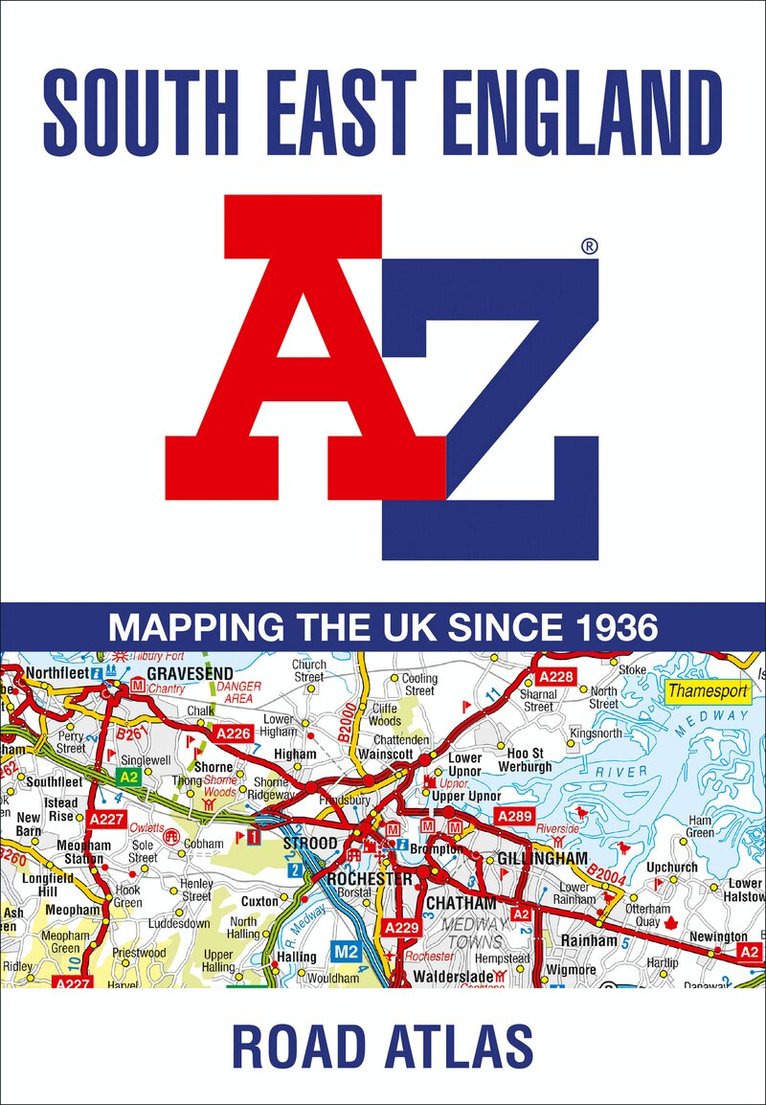
This A-Z map of South East England is a full colour regional road atlas featuring 46 pages of continuous road mapping extending from Banbury and Felixstowe to the south coast, and from Oxford and Southampton to Margate and Clacton-on-Sea in the east.Road map detail is shown at a clear 2.5 miles to 1 inch scale (1.58 km to 1 cm) and includes the following features: Motorways open with full junction detail, motorways under construction and proposed, service areas, primary routes and destinations, A & B roads, selected minor roads, gradients 1:5 and steeper, tolls, mileages, county boundaries, spot heights and hill shadingSelected fuel stationsNational Park boundariesSelected places of interest, tourist information centres and golf coursesAlso included are 21 city, town, airport or port plans for Brighton & Hove, Canterbury, Dover, Eastbourne, Folkestone, Guildford, London, Medway Towns, Milton Keynes, Oxford, Portsmouth, Reading. Southampton, Winchester, Windsor, London Gatwick Airport, London Heathrow Airport, London Luton Airport, London Stansted Airport, Newhaven Port, and Portsmouth Port.The index section lists cities, towns, villages, hamlets and locations covered by the road mapping.
Häftad, Engelska, 2023
91 kr
Skickas
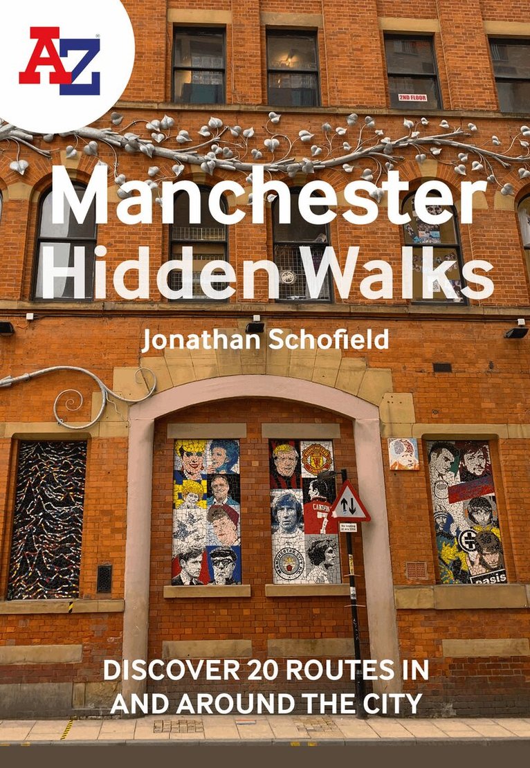
Discover hidden gems around Manchester with 20 walking routes.Featuring 20 walks in and around the city, including lesser-known circuits and details on popular walks. Accompanied by guided walking instructions and written by a local expert, A-Z Manchester Hidden Walks is the perfect way to explore the city in a new light.Small enough to fit in a bag or pocket, this handy guidebook is ideal for tourists or locals looking to discover more about the city. Each route varies in length from 1 to 6 miles (1.6 to 9.6 km), and is clearly outlined on detailed A-Z street mapping.• 20 walking routes with instructions and maps• Full-colour photographs of hidden gems and city attractions• Key sights and locations clearly marked on map• Information such as start/finish points, nearest postcodes, distance and terrain includedMore from the A-Z Hidden Walks series:A-Z Birmingham Hidden WalksA-Z Bristol & Bath Hidden WalksA-Z Edinburgh Hidden WalksA-Z London Hidden WalksA-Z Oxford Hidden WalksA-Z York Hidden WalksA-Z Brighton Hidden WalksA-Z Cambridge Hidden WalksA-Z Manchester Hidden WalksA-Z Liverpool Hidden Walks
Häftad, Engelska, 2023
88 kr
Skickas
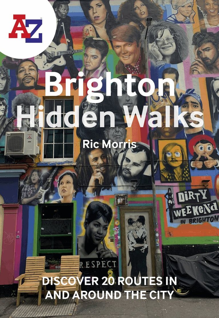
Discover hidden gems around Brighton with 20 walking routes.Featuring 20 walks in and around the city, including lesser-known circuits and details on popular walks. Accompanied by guided walking instructions and written by a local expert, A-Z Brighton Hidden Walks is the perfect way to explore the city in a new light.Small enough to fit in a bag or pocket, this handy guidebook is ideal for tourists or locals looking to discover more about the city. Each route varies in length from 1 to 6 miles (1.6 to 9.6 km), and is clearly outlined on detailed A-Z street mapping.• 20 walking routes with instructions and maps• Full-colour photographs of hidden gems and city attractions• Key sights and locations clearly marked on map• Information such as start/finish points, nearest postcodes, distance and terrain includedMore from the A-Z Hidden Walks series:A-Z Birmingham Hidden WalksA-Z Bristol & Bath Hidden WalksA-Z Edinburgh Hidden WalksA-Z London Hidden WalksA-Z Oxford Hidden WalksA-Z York Hidden WalksA-Z Brighton Hidden WalksA-Z Cambridge Hidden WalksA-Z Manchester Hidden WalksA-Z Liverpool Hidden Walks
Häftad, Engelska, 2023
91 kr
Skickas
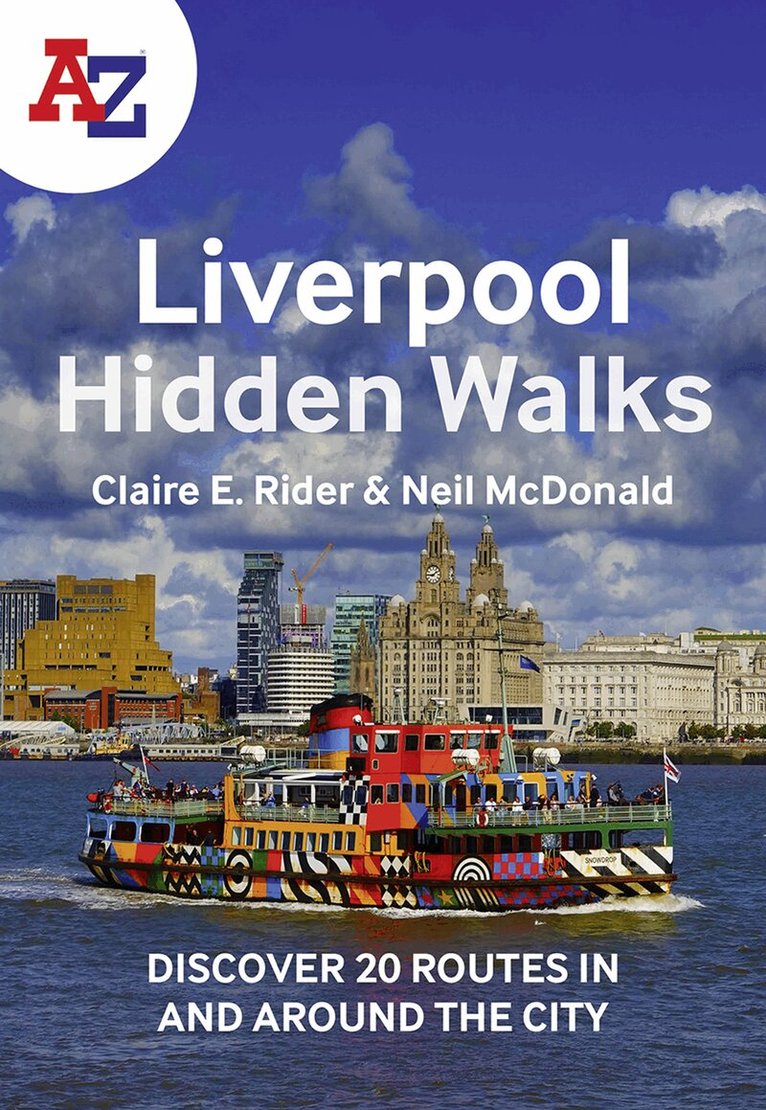
Discover hidden gems around Liverpool with 20 walking routes.Featuring 20 walks in and around the city, including lesser-known circuits and details on popular walks. Accompanied by guided walking instructions and written by a local expert, A-Z Liverpool Hidden Walks is the perfect way to explore the city in a new light.Small enough to fit in a bag or pocket, this handy guidebook is ideal for tourists or locals looking to discover more about the city. Each route varies in length from 1 to 6 miles (1.6 to 9.6 km), and is clearly outlined on detailed A-Z street mapping.• 20 walking routes with instructions and maps• Full-colour photographs of hidden gems and city attractions• Key sights and locations clearly marked on map• Information such as start/finish points, nearest postcodes, distance and terrain includedMore from the A-Z Hidden Walks series:A-Z Birmingham Hidden WalksA-Z Bristol & Bath Hidden WalksA-Z Edinburgh Hidden WalksA-Z London Hidden WalksA-Z Oxford Hidden WalksA-Z York Hidden WalksA-Z Brighton Hidden WalksA-Z Cambridge Hidden WalksA-Z Manchester Hidden WalksA-Z Liverpool Hidden Walks
Häftad, Engelska, 2023
91 kr
Skickas
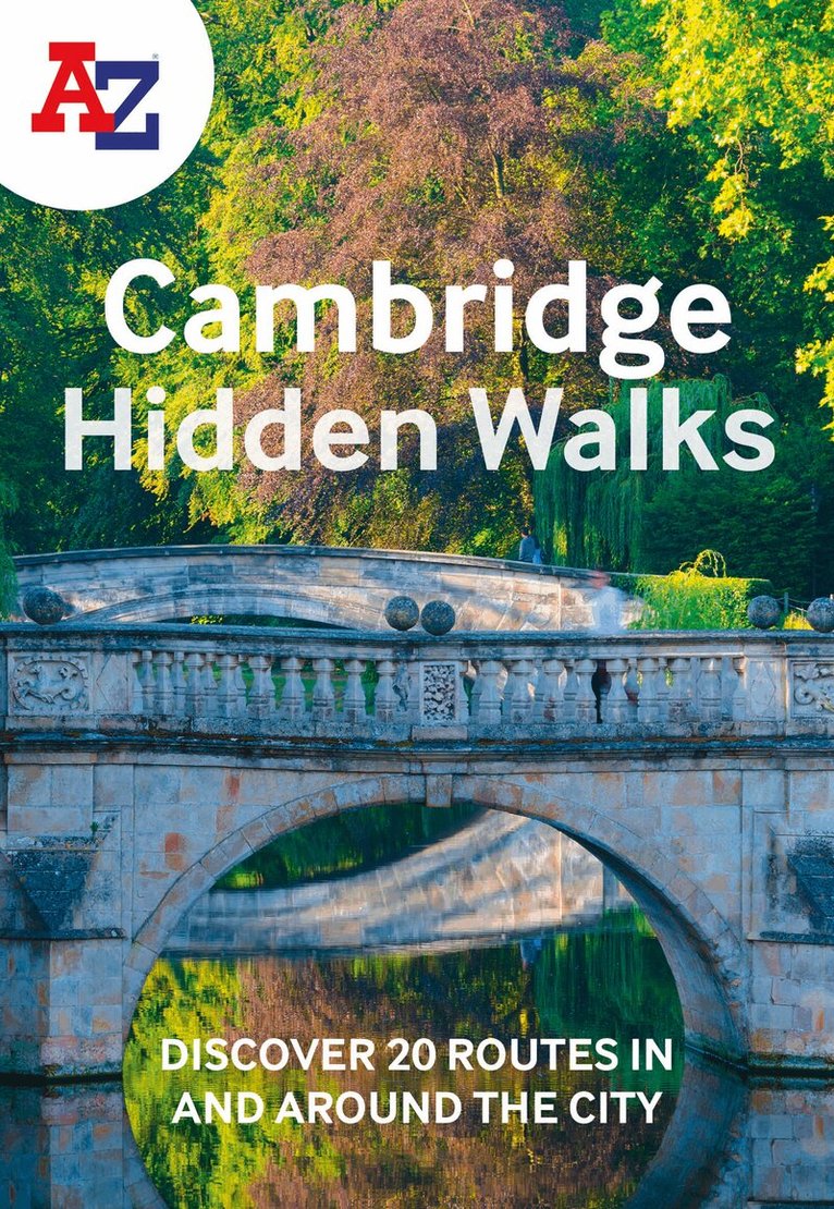
Discover hidden gems around Cambridge with 20 walking routes.Featuring 20 walks in and around the city, including lesser-known circuits and details on popular walks. Accompanied by guided walking instructions and written by a local expert, A-Z Cambridge Hidden Walks is the perfect way to explore the city in a new light.Small enough to fit in a bag or pocket, this handy guidebook is ideal for tourists or locals looking to discover more about the city. Each route varies in length from 1 to 6 miles (1.6 to 9.6 km), and is clearly outlined on detailed A-Z street mapping.• 20 walking routes with instructions and maps• Full-colour photographs of hidden gems and city attractions• Key sights and locations clearly marked on map• Information such as start/finish points, nearest postcodes, distance and terrain included More from the A-Z Hidden Walks series: A-Z Birmingham Hidden WalksA-Z Bristol & Bath Hidden WalksA-Z Edinburgh Hidden WalksA-Z London Hidden WalksA-Z Oxford Hidden WalksA-Z York Hidden WalksA-Z Brighton Hidden WalksA-Z Cambridge Hidden WalksA-Z Manchester Hidden WalksA-Z Liverpool Hidden Walks
Häftad, Engelska, 2024
103 kr
Skickas
A full-colour, regional road atlas from A-Z Maps. Featuring more than 50 pages of continuous mapping of regions in the east of England.Published at a clear 2.5 miles to 1 inch the following features are shown on the road mapping: Motorways with full junction detail, primary routes and destinations, A & B roads, under construction and proposed roads, service areas, tolls, mileages, county and unitary authority boundariesNational Park boundariesSelected places of interest and tourist information centresSeparate city, town, airport, and port plansThe comprehensive index section lists cities, towns, villages, hamlets and locations covered by this atlas.
Häftad, Engelska, 2024
103 kr
Skickas
A full-colour, regional road atlas of the Midlands from A-Z Maps, featuring 46 pages of continuous road mapping.Road map detail is shown at a clear 2.5 miles to 1 inch scale (1.58 km to 1 cm) and includes the following features: Motorways open with full junction detail, motorways under construction and proposed, service areas, primary routes and destinations, A & B roads, selected minor roads, gradients 1:5 and steeper, tolls, mileages, county boundaries, spot heights and hill shadingSelected safety camera locations with their maximum speed limitsSelected fuel stationsNational Park boundariesSelected places of interest, tourist information centres and golf coursesThe index section lists cities, towns, villages, hamlets and locations covered by the road mapping.
Häftad, Engelska, 2024
115 kr
Skickas
Navigate your way around Scotland with this detailed, full-colour and easy-to-use A-Z Road Atlas.From the border to the north coast, the mainland pages scale is 3.5 miles to 1 inch and the Western Isles, Shetland Islands and Orkney Islands scale is 4.5 miles to 1 inch.Covering the entire country, this road atlas includes the following features:• Motorways with full junction detail, primary routes and destinations, A & B roads, under construction and proposed roads, service areas, tolls, mileages, national, county and unitary authority boundaries• Cairngorms and Loch Lomond & The Trossachs National Park boundaries• Selected places of interest and tourist information centres20 city and town street maps are included for Aberdeen, Aviemore, Ayr, Dumfries, Dundee, Dunfermline, Edinburgh, Glasgow, Falkirk, Fort William, Hamilton, Inverness, Kilmarnock, Kirkcaldy, Motherwell, Oban, Paisley, Perth, St Andrews and Stirling. Also included is a comprehensive index to cities, towns, villages, hamlets and locations.
Engelska, 2024
169 kr
Skickas inom 3-6 vardagar
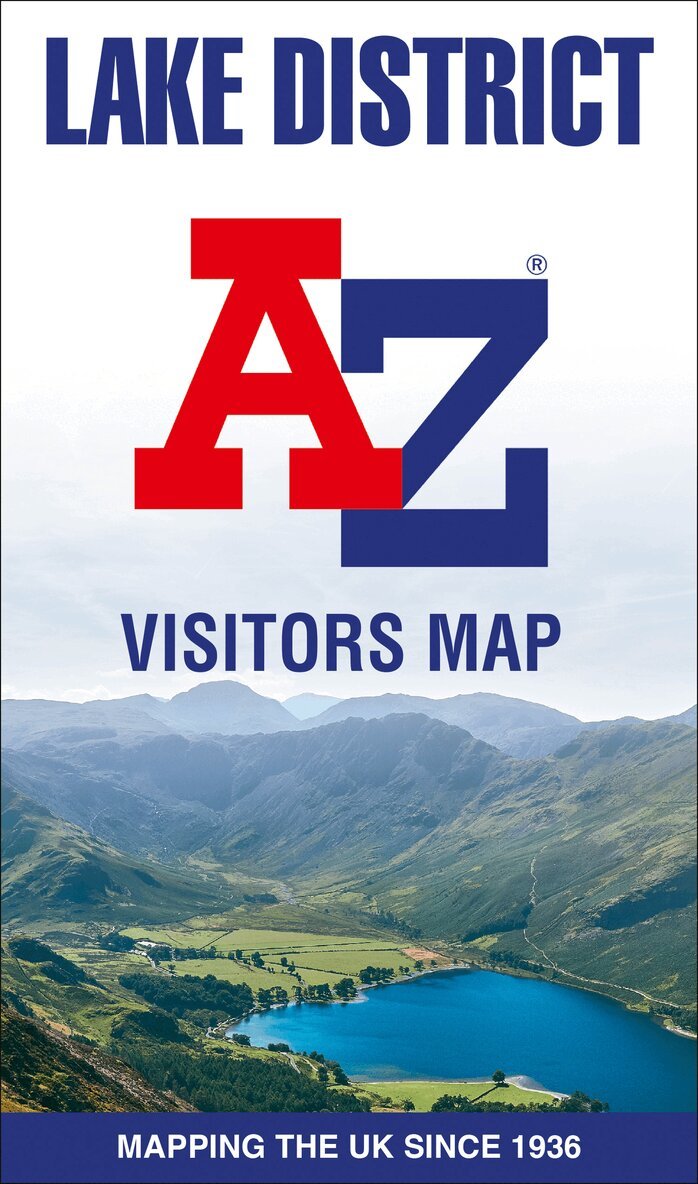
Explore the whole region and area extending from Cockermouth and Penrith in the north to Ulverston and Grange-over-Sands in the south and from the M6 in the east to the coast in the west.Published at a clear 2.45 miles to 1 inch scale, this detailed visitors map of the Lake District includes primary route destinations and selected caravan and camping sites. Plus, there is detailed informative text for visitor attractions and places of interest.There are also 12 town centre street maps of: Ambleside, Cockermouth, Coniston, Grange-over-Sands, Grasmere, Hawkshead, Kendal, Keswick, Penrith, Ulverston, Windermere and Bowness-on-Windermere. Each town centre map includes descriptive text and useful information about its visitor attractions and places of interest. Each town plan also has a separate index, while the main road map index lists towns, villages, hamlets and locations. The 'Index to Places of Interest' lists tourist sites by feature type.For 2024, there is also now added electric charge point locations courtesy of Zapmap making this is the perfect map for exploring the English Lakes as a local or a tourist.
55 kr
Skickas
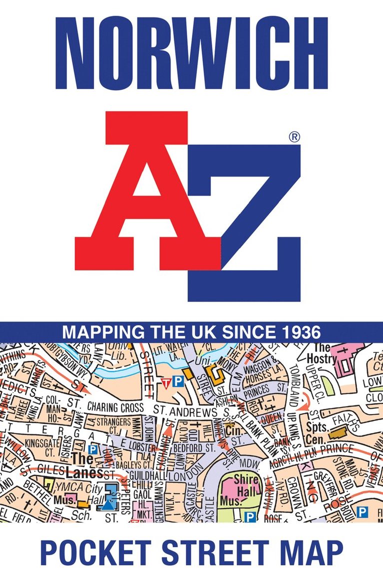
Navigate your way around Norwich with detailed street maps from A-ZThis up-to-date, folded A-Z street map includes more than 2,000 streets in and around Norwich. As well as the Norwich Cathedral and central Norwich, the other areas covered include Cringleford, Lakenham, Whitlingham Country Park, Thorpe St Andrew, New Catton and Hellesdon.The large scale 1 mile to 5.5 inch (1 km to 8.68 cm) street map includes the following:• Places of interest• One-way streets and car parks• Index to streets, places of interest, place and area names, park and ride sites, national rail stations, hospitals and hospicesThe perfect reference map for finding your way around Norwich.
55 kr
Skickas
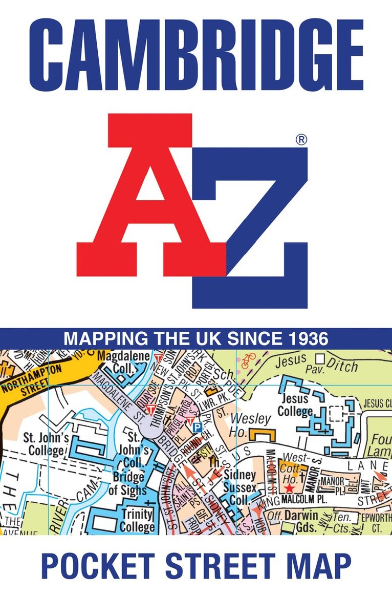
Navigate your way around Cambridge with detailed street maps from A-ZThis up-to-date, folded A-Z street map includes over 1,700 streets in and around Cambridge.As well as the University of Cambridge and Cambridge city centre, other areas covered are Newnham, Barnwell, Cherry Hinton, Chesterton and Cambridge North.The large scale 1 mile to 5.5 inch (1 km to 8.68 cm) street map includes the following:· Places of interest· One-way streets and car parks· Index to streets, places of interest, place and area names, park and ride sites, national rail stations, hospitals and hospicesThe perfect reference map for finding your way around Cambridge.
Häftad, Engelska, 2024
127 kr
Skickas
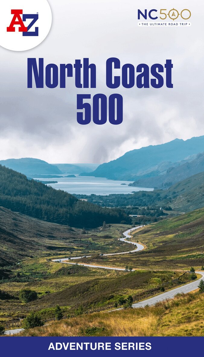
The A-Z Adventure Series of maps is the perfect companion for walkers, off-road cyclists, and anyone wishing to explore the great outdoors.The scenic North Coast 500 is one of the most popular routes in Scotland and journeying along it makes for an incredible adventure. The 516 mile (830 km) route passes through picturesque landscapes and abundant wildlife, linking a wide range of tourist destinations in the Highlands.This A-Z North Coast 500 Adventure Atlas features more than 90 pages of continuous 1:50 000 mapping, providing detailed coverage of the entire route. A route planner showing distances between places and the amenities available is also included, along with the locations of: Campsites (seasonal opening)Information CentresHotels/B&BsYouth HostelsPubs, Restaurants and CafesShopsPetrol StationsNow with NEW electric charge point data from Zapmap!Other walks available in the A-Z Adventure series include: Cotswold Way, Peddars Way and Norfolk Coast Path, Coast to Coast Path, South Downs Way and The Pembrokeshire Coast Path.
Häftad, Engelska, 2024
133 kr
Skickas
Navigate your way around London with this detailed, easy-to-use and up-to-date A-Z Street Atlas.First published in 1936, this iconic atlas is a trusted means of finding your way around the capital city.The main mapping extends beyond Central London from Heathrow Airport to Chingford at a scale of 2.88 inches to 1 mile (4.55 cm to 1 km), featuring postcode districts, one-way streets, the Congestion Charging Zone and Low Emission Zone.The large-scale street map of Central London – at a scale of 5.75 inches to 1 mile – cover Regent’s Park and Shoreditch, Chelsea and Vauxhall, Hyde Park and Bermondsey.A comprehensive index lists streets, selected flats, walkways and places of interest, place, area and junction names. Additional healthcare (hospitals, walk-in centres and hospices) and transport connections (National Rail, London Tramlink, Docklands Light Railway, London Underground and Overground stations, and River Bus pier) are indexed as well.Also included are:• Overview map of the Congestion Charging Zone, Ultra Low Emission and Low Emission Zones• West End Theatre map• London Connections rail services map
Häftad, Engelska, 2025
151 kr
Skickas
Plan your next adventure along the North Cornwall section of the South West Coast Path with trusted mapping from A-ZThe perfect companion for those wanting to explore the iconic route as seen in The Salt Path, the A-Z Adventure Series features 1:25 000 Ordnance Survey mapping in a convenient book, complete with index.The South West Coast Path is a National Trail along the Somerset, Devon, Cornwall and Dorset coasts. This stunning walk from Minehead, Somerset covers 630 miles to South Haven Point in Poole Harbour, passing through two World Heritage Sites (the Jurassic Coast and the Cornwall and West Devon Mining Landscape), Exmoor National Park, Land's End and many areas of outstanding natural beauty.This A-Z Adventure Atlas of the South West Coast Path: North Cornwall features 41 pages of continuous Ordnance Survey mapping covering the route from Devon/Cornwall border to Land's End. The trail is easy to follow, highlighted in yellow to stand out from other footpaths, with mileage markers to gauge distances when planning your own sections of the walk to enjoy.The book includes a route planner showing distances between places and indicates available amenities, including: Information CentresInformation CentresHotels/B&BsYouth HostelsCampsites (seasonal opening)Pubs, shops, restaurants, and cafes (seasonal opening)Petrol StationsA series of five A-Z Adventure Atlases together cover the South West Coast Path: South West Coast Path: North Devon and Somerset (9780008707651)South West Coast Path: North Cornwall (9780008707620) South West Coast Path: South Cornwall (9780008707637)South West Coast Path: South Devon (9780008707644)South West Coast Path: Dorset (9780008707668)Other National Trails available within the A-Z Adventure Series include: Peak District (Dark Peak), Cotswold Way, Peddars Way and Norfolk Coast Path, Pembrokeshire Coast Path, North Coast 500 and South Downs Way.