Häftad, Engelska, 2023
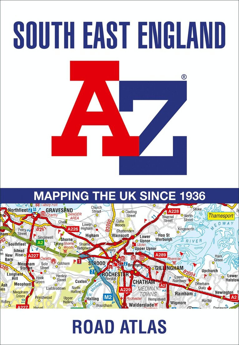
South East England A-Z Road Atlas
Av A-Z Maps
101 kr
Skickas tisdag 27/10. Fri frakt över 249 kr.
Beskrivning
This A-Z map of South East England is a full colour regional road atlas featuring 46 pages of continuous road mapping extending from Banbury and Felixstowe to the south coast, and from Oxford and Southampton to Margate and Clacton-on-Sea in the east.Road map detail is shown at a clear 2.5 miles to 1 inch scale (1.58 km to 1 cm) and includes the following features: Motorways open with full junction detail, motorways under construction and proposed, service areas, primary routes and destinations, A & B roads, selected minor roads, gradients 1:5 and steeper, tolls, mileages, county boundaries, spot heights and hill shadingSelected fuel stationsNational Park boundariesSelected places of interest, tourist information centres and golf coursesAlso included are 21 city, town, airport or port plans for Brighton & Hove, Canterbury, Dover, Eastbourne, Folkestone, Guildford, London, Medway Towns, Milton Keynes, Oxford, Portsmouth, Reading. Southampton, Winchester, Windsor, London Gatwick Airport, London Heathrow Airport, London Luton Airport, London Stansted Airport, Newhaven Port, and Portsmouth Port.The index section lists cities, towns, villages, hamlets and locations covered by the road mapping.
Produktinformation
- Utgivningsdatum: 2023-04-13
- Mått: 170 x 245 x 4 mm
- Vikt: 140 g
- Format: Häftad
- Språk: Engelska
- Serie: Geographers' A-Z Map Co Ltd
- Antal sidor: 72
- Upplaga: 17
- Förlag: HarperCollins Publishers
- ISBN: 9780008560584
- Miljömärkning: Produced using independently certified paper to ensure responsible forestry management. (Certification is by FSC, PEFC or SFI.)
Utforska kategorier
Betyg & recensioner
0 recensioner
Inga recensioner tillgängliga.