
Geographers' A-Z Map Co Ltd – serie
Visar alla böcker i serien Geographers' A-Z Map Co Ltd. Handla med fri frakt och snabb leverans.
32 produkter
32 produkter
Häftad, Engelska, 2026
115 kr
Skickas
Navigate your way around Manchester with this detailed and easy-to-use A-Z Street Atlas.Printed in full-colour, paperback format, this atlas contains more than 90 pages of continuous street mapping in a NEW A5 format for ease of use.Coverage extends to: Haywood in the north, Droyslsden in the east, Altringham in the south, and Walkden in the west. Additional pages cover the city centre with large-scale mapping. Postcode districts, one-way streets and National Park boundaries are also featured on the mapping.The index section lists streets, selected flats, walkways and places of interest, place and area names, National Rail and Metrolink station names, hospitals, hospices and NHS Walk-in Centres.
Häftad, Engelska, 2023
91 kr
Skickas
A pocket-sized, paperback street atlas of Central London and the surrounding areas in full colour.Covering an area extending from the centre of London to: Brent Cross, Golders Green, Highgate, Finsbury Park, Stoke Newington, Leytonstone, Wanstead, West Ham, Thames Flood Barrier, Eltham, Grove Park, Catford, Streatham, Wimbledon, Barnes Bridge, Willesden Junction, Neasden.Highlights include: Large scale 3 inches to 1 mile mapIndex to more than 35,700 streetsAdditional street map section of the inner London area which extends north to Regent's Park and Shoreditch, south to London Victoria station and Lambeth, west to Hyde Park and east to Tower BridgeOne-way streets and safety camera locations with their maximum speed limit are featured on both scales of street mappingCongestion charging zone boundary is shown on both scales of mappingThe comprehensive index lists streets, selected flats, walkways and places of interest, place, area and junction names. There are separate index listings for both hospitals, walk-in centres and hospices and for the National Rail, London Tramlink, Docklands Light Railway, London Underground and Overground stations and River Bus piers covered by this atlas.Previously published as London Mini A-Z Street Atlas.
Häftad, Engelska, 2025
115 kr
Skickas
Navigate your way around Brighton and Worthing with this detailed and easy-to-use A-Z Street Atlas. Printed in full-colour, paperback format, this atlas contains 41 pages of continuous street mapping.The main mapping extends to Hove, Newhaven, Shoreham-by-Sea at a scale of 4 inches to 1 mile, featuring postcode districts, one-way streets, park and ride sites, and safety camera locations. Areas covered include:• Findon• Durrington• Goring-by-Sea• Lancing• Southwick• Patcham• Falmer• Woodingdean• Saltdean• Rottingdean• PeacehavenSeparate coverage of Lewes, Seaford, Steyning, Bramber and Upper Beeding is provided.The large-scale street map of Brighton city centre – at a scale of 8 inches to 1 mile – includes:• Postcode map of the Brighton area• Road map of the Brighton areaA comprehensive index lists streets, selected flats, walkways and places of interest, place, area and station names. Additional healthcare (hospitals, walk-in centres and hospices) are indexed as well.
Häftad, Engelska, 2022
88 kr
Skickas
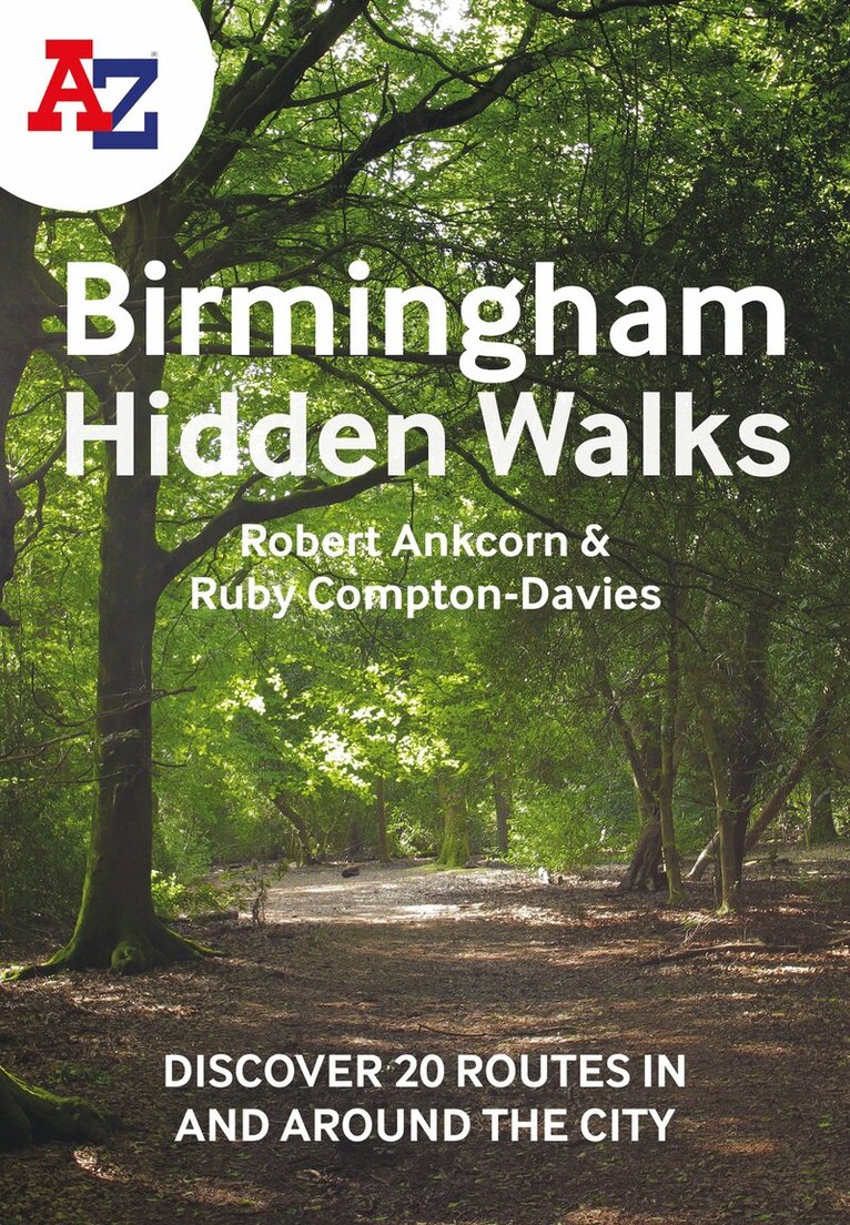
Discover hidden gems around Birmingham with 20 walking routes.Featuring 20 walks in and around the city, including lesser-known circuits and details on popular walks. Accompanied by guided walking instructions and written by local experts, A-Z Birmingham Hidden Walks is the perfect way to explore the city in a new light.Small enough to fit in a bag or pocket, this handy guidebook is ideal for tourists or locals looking to discover more about the city. Each route varies in length from 1 to 6 miles (1.6 to 9.6 km), and is clearly outlined on detailed A-Z street mapping.• 20 walking routes with instructions and maps• Full-colour photographs of hidden gems and city attractions• Key sights and locations clearly marked on map• Information such as start/finish points, nearest postcodes, distance and terrain includedMore from the A-Z Hidden Walks series:A-Z Birmingham Hidden WalksA-Z Bristol & Bath Hidden WalksA-Z Edinburgh Hidden WalksA-Z London Hidden WalksA-Z Oxford Hidden WalksA-Z York Hidden WalksA-Z Brighton Hidden WalksA-Z Cambridge Hidden WalksA-Z Manchester Hidden WalksA-Z Liverpool Hidden Walks
Häftad, Engelska, 2022
91 kr
Skickas
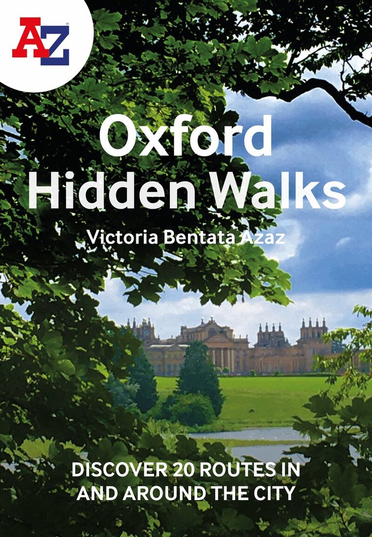
Discover hidden gems around Oxford with 20 walking routes.Featuring 20 walks in and around the city, including lesser-known circuits and details on popular walks. Accompanied by guided walking instructions and written by a local expert, A-Z Oxford Hidden Walks is the perfect way to explore the city in a new light.Small enough to fit in a bag or pocket, this handy guidebook is ideal for tourists or locals looking to discover more about the city. Each route varies in length from 1 to 6 miles (1.6 to 9.6 km), and is clearly outlined on detailed A-Z street mapping.• 20 walking routes with instructions and maps• Full-colour photographs of hidden gems and city attractions• Key sights and locations clearly marked on map• Information such as start/finish points, nearest postcodes, distance and terrain includedMore from the A-Z Hidden Walks series:A-Z Birmingham Hidden WalksA-Z Bristol & Bath Hidden WalksA-Z Edinburgh Hidden WalksA-Z London Hidden WalksA-Z Oxford Hidden WalksA-Z York Hidden WalksA-Z Brighton Hidden WalksA-Z Cambridge Hidden WalksA-Z Manchester Hidden WalksA-Z Liverpool Hidden Walks
Häftad, Engelska, 2022
103 kr
Skickas
Find your way around Northern England with this fully revised and updated road atlas. A full colour regional road atlas featuring 52 pages of road mapping.Covers an area extending to: Berwick-upon-TweedNewcastle upon TyneMiddlesbroughKingston upon HullGrimsbyBostonNottinghamStoke-on-TrentWrexhamChesterLiverpoolBlackpoolBarrow-in-FurnessDumfriesThe road mapping is shown at a clear 3.5 miles to 1 inch scale (2.2 km to 1 cm) and includes the following features: Motorways open with full junction detail, motorways under construction and proposed, service areas, primary routes and destinations, A & B roads, selected minor roads, gradients 1:5 and steeper, tolls, mileages, county boundaries, spot heights and hill shadingSelected safety camera locations with their maximum speed limitsSelected fuel stationsNational Park boundariesSelected places of interest, tourist information centres and golf coursesAlso, within this Northern England Road Atlas are 24 city, town, airport or port plans for: BlackpoolBradfordCarlisleChesterDerbyDumfriesDurhamHarrogateKingston upon HullLeedsLincolnLiverpoolManchesterMiddlesbroughNewcastle upon TyneNottinghamPrestonSheffieldStoke-on-TrentSunderlandYorkManchester AirportKingston upon Hull PortNewcastle upon Tyne PortThe index section lists cities, towns, villages, hamlets and locations covered by this atlas.
Häftad, Engelska, 2023
103 kr
Skickas
Navigate your way around Torbay with this detailed and easy-to-use A-Z Street Atlas.Printed in full-colour, paperback format, this atlas contains 38 pages of continuous street mapping. More than 5,100 streets indexed. Large scale 4 inches to 1 mile map.Areas covered include: Brixham, Paignton, Torquay, Kingskerswell, Newton Abbot, Bovey Tracey, Teignmouth, Dawlish, Ashburton, Buckfastleigh, Totnes, Kingsbridge, Salcombe, Dartmouth.In addition, there are insets of: Bishopsteignton, Ipplepen, Stoke Gabriel and a large scale town centre map of Dartmouth.Postcode districts, one-way streets, Park and Ride sites, safety camera locations with their maximum speed and Dartmoor National Park boundary are featured on the mapping.The Places of Interest Guide is both informative and helpful with information about: Tourist Information CentresBoat tripsSelected places of interestThe English RivieraA comprehensive index lists streets, selected flats, walkways and places of interest, place, area and station names. Additional healthcare (hospitals, walk-in centres and hospices) and transport connections are indexed as well.
Häftad, Engelska, 2023
99 kr
Skickas
Full-colour road atlas of Wales, with extended coverage into England and including all the major routes into the country. The detailed road mapping also includes Liverpool, Warrington, Nantwich, Shrewsbury, Hereford, Bristol and Severn River Crossings.Published at a clear 2.5 miles to 1 inch the following features are shown on the road mapping: Motorways open with full junction detail, motorways under construction and proposed, motorway service areas, primary routes and destinations, A and B roads, selected minor roads, gradients 1:5 and steeper, tolls, mileages, national and county boundaries, spot heights and hill shadingSelected places of interest, tourist information centres and golf coursesNational Park boundaries for Snowdonia, Brecon Beacons and Pembrokeshire CoastAlso included are 21 city, town, airport, or port plans for; Aberystwyth; Bangor; Cardiff; Caernarfon; Carmarthen; Chester; Colwyn Bay; Hereford; Llandudno; Llanelli; Merthyr Tydfil; Newport; Prestatyn; Rhyl Shrewsbury; Swansea; Wrexham; Cardiff International Airport; Holyhead Port; and Pembroke Dock.Two separate indexes provide extensive coverage of cities, towns, hamlets, and places of interest within Wales. Corresponding map symbols alongside each entry make for easy identification.
Häftad, Engelska, 2023
103 kr
Skickas
A full-colour regional road atlas featuring 39 pages of continuous road mapping. Covering an extensive area, including Bristol, Swindon, Reading, Slough, Guildford, Littlehampton, Portsmouth, Isle of Wight, Bournemouth, Cardiff, Newport, Weymouth, Sidmouth, Taunton and Weston-Super-Mare.This atlas is shown at a clear 2.5 miles to 1 inch scale (1.58 km to 1 cm) and includes the following features: Motorways open with full junction detail, motorways under construction and proposed, service areas, primary routes and destinations, A & B roads, selected minor roads, gradients 1:5 and steeper, tolls, mileages, county boundaries, spot heights and hill shadingSelected fuel stationsNational Park boundariesSelected places of interest, tourist information centres and golf coursesAlso included are 15 city, town, airport or port plans for: Bath, Bournemouth, Bristol, Cardiff, Guildford, Portsmouth, Reading, Salisbury, Southampton, Swindon, Taunton, Winchester, Windsor, London Heathrow Airport, and Poole Port.The expansive index section lists cities, towns, villages, hamlets and locations covered by this atlas.
Häftad, Engelska, 2023
121 kr
Skickas
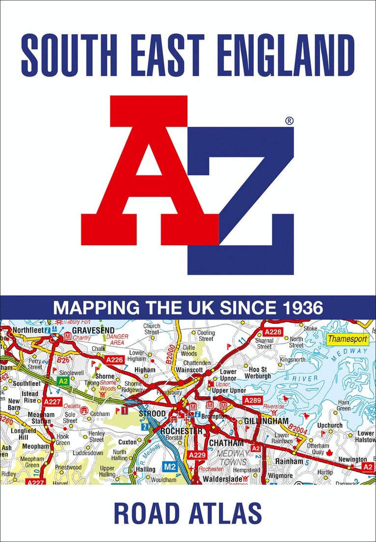
This A-Z map of South East England is a full colour regional road atlas featuring 46 pages of continuous road mapping extending from Banbury and Felixstowe to the south coast, and from Oxford and Southampton to Margate and Clacton-on-Sea in the east.Road map detail is shown at a clear 2.5 miles to 1 inch scale (1.58 km to 1 cm) and includes the following features: Motorways open with full junction detail, motorways under construction and proposed, service areas, primary routes and destinations, A & B roads, selected minor roads, gradients 1:5 and steeper, tolls, mileages, county boundaries, spot heights and hill shadingSelected fuel stationsNational Park boundariesSelected places of interest, tourist information centres and golf coursesAlso included are 21 city, town, airport or port plans for Brighton & Hove, Canterbury, Dover, Eastbourne, Folkestone, Guildford, London, Medway Towns, Milton Keynes, Oxford, Portsmouth, Reading. Southampton, Winchester, Windsor, London Gatwick Airport, London Heathrow Airport, London Luton Airport, London Stansted Airport, Newhaven Port, and Portsmouth Port.The index section lists cities, towns, villages, hamlets and locations covered by the road mapping.
Häftad, Engelska, 2023
91 kr
Skickas
Discover hidden gems around Manchester with 20 walking routes.Featuring 20 walks in and around the city, including lesser-known circuits and details on popular walks. Accompanied by guided walking instructions and written by a local expert, A-Z Manchester Hidden Walks is the perfect way to explore the city in a new light.Small enough to fit in a bag or pocket, this handy guidebook is ideal for tourists or locals looking to discover more about the city. Each route varies in length from 1 to 6 miles (1.6 to 9.6 km), and is clearly outlined on detailed A-Z street mapping.• 20 walking routes with instructions and maps• Full-colour photographs of hidden gems and city attractions• Key sights and locations clearly marked on map• Information such as start/finish points, nearest postcodes, distance and terrain includedMore from the A-Z Hidden Walks series:A-Z Birmingham Hidden WalksA-Z Bristol & Bath Hidden WalksA-Z Edinburgh Hidden WalksA-Z London Hidden WalksA-Z Oxford Hidden WalksA-Z York Hidden WalksA-Z Brighton Hidden WalksA-Z Cambridge Hidden WalksA-Z Manchester Hidden WalksA-Z Liverpool Hidden Walks
Häftad, Engelska, 2024
103 kr
Skickas
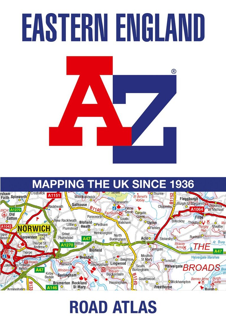
A full-colour, regional road atlas from A-Z Maps. Featuring more than 50 pages of continuous mapping of regions in the east of England.Published at a clear 2.5 miles to 1 inch the following features are shown on the road mapping: Motorways with full junction detail, primary routes and destinations, A & B roads, under construction and proposed roads, service areas, tolls, mileages, county and unitary authority boundariesNational Park boundariesSelected places of interest and tourist information centresSeparate city, town, airport, and port plansThe comprehensive index section lists cities, towns, villages, hamlets and locations covered by this atlas.
55 kr
Skickas
Navigate your way around Norwich with detailed street maps from A-ZThis up-to-date, folded A-Z street map includes more than 2,000 streets in and around Norwich. As well as the Norwich Cathedral and central Norwich, the other areas covered include Cringleford, Lakenham, Whitlingham Country Park, Thorpe St Andrew, New Catton and Hellesdon.The large scale 1 mile to 5.5 inch (1 km to 8.68 cm) street map includes the following:• Places of interest• One-way streets and car parks• Index to streets, places of interest, place and area names, park and ride sites, national rail stations, hospitals and hospicesThe perfect reference map for finding your way around Norwich.
55 kr
Skickas
Navigate your way around Cambridge with detailed street maps from A-ZThis up-to-date, folded A-Z street map includes over 1,700 streets in and around Cambridge.As well as the University of Cambridge and Cambridge city centre, other areas covered are Newnham, Barnwell, Cherry Hinton, Chesterton and Cambridge North.The large scale 1 mile to 5.5 inch (1 km to 8.68 cm) street map includes the following:· Places of interest· One-way streets and car parks· Index to streets, places of interest, place and area names, park and ride sites, national rail stations, hospitals and hospicesThe perfect reference map for finding your way around Cambridge.
Häftad, Engelska, 2024
133 kr
Skickas
Navigate your way around London with this detailed, easy-to-use and up-to-date A-Z Street Atlas.First published in 1936, this iconic atlas is a trusted means of finding your way around the capital city.The main mapping extends beyond Central London from Heathrow Airport to Chingford at a scale of 2.88 inches to 1 mile (4.55 cm to 1 km), featuring postcode districts, one-way streets, the Congestion Charging Zone and Low Emission Zone.The large-scale street map of Central London – at a scale of 5.75 inches to 1 mile – cover Regent’s Park and Shoreditch, Chelsea and Vauxhall, Hyde Park and Bermondsey.A comprehensive index lists streets, selected flats, walkways and places of interest, place, area and junction names. Additional healthcare (hospitals, walk-in centres and hospices) and transport connections (National Rail, London Tramlink, Docklands Light Railway, London Underground and Overground stations, and River Bus pier) are indexed as well.Also included are:• Overview map of the Congestion Charging Zone, Ultra Low Emission and Low Emission Zones• West End Theatre map• London Connections rail services map
Häftad, Engelska, 2025
240 kr
Skickas
The ultimate street atlas to navigate your way around London. This comprehensive, paperback atlas encompasses an area of 1,450 square miles, including more than 90,000 streets and other addresses, and is trusted by local authorities, taxi drivers and emergency services.The coverage extends beyond the Greater London and M25 area to: Hemel Hempstead, St. Albans, Potters Bar, Waltham Cross, Epping, Brentwood, Thurrock, Stanford-le-Hope, Gravesend, Wrotham, Sevenoaks, Westerham, Oxted, Redhill, Reigate, Leatherhead, Great Bookham, Woking, Egham, Windsor, Slough, Chalfont St. Peter, Chorleywood, BovingdonThere are eighteen pages of large scale (9" to 1 mile) street mapping of central London which gives additional clarity and detail, this mapping extends to: Regent's Park, St. Pancras International Station, Old Street, Tower Bridge, Bricklayer's Arms Junction, Vauxhall Bridge, South Kensington, Paddington Station and Lord's Cricket Ground.Postcode districts and one-way streets are included on the street mapping.Other features include: The Congestion Charging Zone (CCZ) boundary which is shown on both scales of mapping and an overview map of the zone is also includedThe Greater London Low Emission Zone boundary is shown on the street mapping and an overview map of the zone is also includedThe Ultra Low Emission Zone (ULEZ) boundaryThere are eight pages of road mapping at 3 miles to 1 inch that cover much of the Home Counties areaLondon Underground mapLondon Rail Connections mapWest End Cinema and Theatre mapsThe index section of the atlas includes streets, places & areas, hospitals, industrial estates, selected flats & walkways, service areas, stations and selected places of interest. Please note hospitals and rail stations are now listed in the main index and highlighted in different colour. They are not included as a separate list as in previous editions.
152 kr
Skickas inom 3-6 vardagar
Navigate your way around Plymouth with detailed street maps from A-ZThis up-to-date, folded A-Z street map includes all of the 2000 streets in and around Plymouth.As well as the Royal William Yard and Crownhill Fort, the other areas covered include Stoke, Efford, Pennycross, St Budeaux, King’s Tamerton, Eggbuckland and Manadon.The large-scale street map includes the following:• Places of interest• Postcode districts, one-way streets and car parks• Index to streets, places of interest, place and area names, park and ride sites, national rail stations, hospitals and hospicesThe perfect reference map for finding your way around Plymouth.
Häftad, Engelska, 2025
111 kr
Skickas
Navigate your way around Edinburgh with this detailed and easy-to-use A-Z Street Atlas.Printed in full-colour, paperback format, this atlas contains 45 pages of continuous street mapping.The main mapping extends beyond central Edinburgh at a scale of 3.33 inches to 1 mile, featuring postcode districts, one-way streets, park and ride sites, and safety camera locations. Areas covered include: South QueensferryLeithPrestonpansTranentMusselburghDalkeithBonnyriggLoanheadGorebridgePenicuikBalernoEdinburgh AirportThe large-scale street map of Edinburgh city centre – at a scale of 6.67 inches to 1 mile – includes: Places of Interest Guide, highlighting the city’s major tourist attractions and world-famous Edinburgh FestivalPostcode map of the Edinburgh areaRoad map of the Edinburgh areaDiagrammatic map of rail and tram connectionsA comprehensive index lists streets, selected flats, walkways and places of interest, place, area and station names. Additional healthcare (hospitals, walk-in centres and hospices) and transport connections (Edinburgh Tramway stops) are indexed as well.
Häftad, Engelska, 2025
115 kr
Skickas
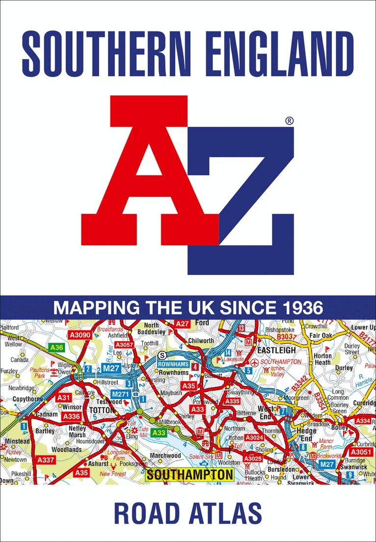
Navigate your way around Southampton with this detailed and easy-to-use A-Z Street Atlas. Printed in full-colour, paperback format, this atlas contains 50 pages of continuous street mapping.The main mapping extends beyond central Southampton at a scale of 4 inches to 1 mile, featuring postcode districts, one-way streets, park and ride sites, and safety camera locations. Areas covered include:• Eastleigh• Fawley• Hythe• Romsey• Southampton Airport• Totton• Chandler's Ford• Hamble-le-Rice• Hedge End• North BaddesleyThe large-scale street map of Southampton city centre – at a scale of 8 inches to 1 mile – includes:• Postcode map of the Southampton area• Road map of the Southampton area• New Forest National Park boundariesA comprehensive index lists streets, selected flats, walkways and places of interest, place, area and station names. Additional healthcare (hospitals, walk-in centres and hospices) are indexed as well.
Häftad, Engelska, 2026
115 kr
Skickas
Navigate your way around Liverpool with this detailed and easy-to-use A-Z Street Atlas.Printed in full-colour, paperback format, this atlas contains 96 pages of continuous street mapping in a NEW A5 format for ease of use.Coverage extends to include: Aintree, Bootle, St Helens, Widnes, Runcorn, Garston, Gayton, Moreton, and Wallasey.Also included is:• a large scale city centre map of Liverpool• a postcode map of the Liverpool area• a Liverpool rail connections mapPostcode districts, one-way streets and park and ride sites are featured on the mapping.The index section lists streets, selected flats, walkways and places of interest, place, area and station names, hospitals, NHS Walk-in Centres and hospices.
Häftad, Engelska, 2026
115 kr
Skickas
Navigate your way around Birmingham with this detailed and easy-to-use A-Z Street Atlas.Printed in full-colour, paperback format, this atlas contains 96 pages of continuous street mapping in a NEW A5 format for ease of use.Coverage extends to include: Wednesbury, Coleshill, Knowle, Alvechurch, Rubery, Smethick, and West Bromwich.There are large scale city centre maps of Birmingham and Wolverhampton and a West Midlands rail and Midland Metro transport connections map.Postcode districts and one-way streets are featured on the mapping.The index section lists streets; selected flats, walkways and places of interest; place and area names; National Rail and Midland Metro stations; hospitals, NHS Walk-in Centres and hospices.

Häftad, Engelska, 2027
99 kr
Kommande

Häftad, Engelska, 2027
99 kr
Kommande
Häftad, Engelska, 2021
103 kr
Tillfälligt slut
Navigate your way around Portsmouth with this detailed and easy-to-use A-Z Street Atlas. Printed in full-colour, paperback format, this atlas contains 54 pages of continuous street mapping.The main mapping extends beyond central Portsmouth at a scale of 4 inches to 1 mile, featuring postcode districts, one-way streets, park and ride sites, and safety camera locations. Areas covered include:• Fareham• Gosport• Havant• Horndean• Waterlooville• Emsworth• Hayling Island• Portsea Island• Cosham• Lee-on-the-Solent• Stubbington• Portchester• Wickham and Clanfield (inset)Separate coverage of Petersfeld is provided.The large-scale street map of Portsmouth city centre – at a scale of 8 inches to 1 mile – includes:• Places of Interest Guide, highlighting historic maritime tourist attractions to modern-day landmarks• Postcode map of the Portsmouth area• Road map of the Portsmouth area• South Downs National Park boundariesA comprehensive index lists streets, selected flats, walkways and places of interest, place, area and station names. Additional healthcare (hospitals, walk-in centres and hospices) are indexed as well.
62 kr
Tillfälligt slut
Navigate your way around Reading with detailed street maps from A-ZThis up-to-date, folded A-Z street map includes all of the 1,500 streets in and around Reading.As well as the city centre and the University of Reading, the other areas covered include Whitley, Coley Park, New Town and Caversham.The large-scale street map includes the following:• Places of interest• Postcode districts, one-way streets and car parks• Index to streets, places of interest, place and area names, park and ride sites, national rail stations, hospitals and hospicesThe perfect reference map for finding your way around Reading.
62 kr
Tillfälligt slut
Navigate your way around Manchester with detailed street maps from A-ZThis up-to-date, folded A-Z street map includes all of the 4,500 streets in and around Manchester. As well as the Northern Quarter and Spinningfields, the other areas covered include Moss Side, Ordsall, Weaste, Salford, Seedley, Lower Kersal, Strangeways, Miles Platting and West Gorton.The large-scale street map includes the following: Places of interestPostcode districts, one-way streets and car parksIndex to streets, places of interest, place and area names, park and ride sites, national rail stations, hospitals and hospicesThe perfect reference map for finding your way around Manchester.
62 kr
Tillfälligt slut
Navigate your way around Cheltenham with detailed street maps from A-ZThis up-to-date, folded A-Z street map includes all of the 2000 streets in and around Cheltenham. As well as the Cheltenham Racecourse, the other areas covered include Badgeworth, The Reddings, Up Hatherley, Charlton Kings, Montpellier, Battledown, Hayden, Swindon and Prestbury.The large-scale street map includes the following:• Places of interest• Postcode districts, one-way streets and car parks• Index to streets, places of interest, place and area names, park and ride sites, national rail stations, hospitals and hospicesThe perfect reference map for finding your way around Cheltenham.
62 kr
Tillfälligt slut
Navigate your way around Birmingham with detailed street maps from A-ZThis up-to-date, folded A-Z street map includes more than 3000 streets in and around Birmingham. As well as the city centre and St Philip’s Cathedral, the other areas covered include Moseley, Edgbaston, Small Heath, the Jewellery Quarter, Winson Green, Gib Heath, Lozells, Saltley and Aston.The large-scale street map includes the following: Places of interestPostcode districts, one-way streets and car parksIndex to streets, places of interest, place and area names, park and ride sites, national rail stations, hospitals and hospicesThe perfect reference map for finding your way around Birmingham.
Häftad, Engelska, 2026
120 kr
Tillfälligt slut
Navigate your way around Great Britain with this detailed and easy-to-use A-Z Road AtlasA full-colour, spiral bound road atlas, now fully revised and updated. Clear detailed road mapping at a scale of 5 miles to 1 inch. Presented in a compact A5 size for ease of storage.This handy road atlas of Great Britain includes: Mileage chartChannel Tunnel terminus mapsIndex to cities, towns, villages, hamlets and major destinationsMap reference information also in French and GermanInstantly recognisable and easy to use, the road mapping has been specifically tailored for the smaller scale featuring: clear standard road classification colours for easy identification, motorway junction symbols, under construction and proposed roads, primary route destinations, service areas, National and county boundaries, and a wide range of tourist and ancillary information, including Blue Flag Beaches.This A-Z Handy Road Atlas of Great Britain and Northern Ireland is the perfect choice for those wanting a compact spiral bound publication with A-Z quality road mapping.
Häftad, Engelska, 2026
189 kr
Tillfälligt slut
Navigate your way around Great Britain with this detailed and easy-to-use A-Z Road AtlasA spiral bound, full-colour road atlas, now fully revised and updated. Clear detailed road mapping at a mainland map scale of 3.5 miles to 1 inch. Published in an easy-to-read A4 size.This essential road atlas includes:• 11 pages of main route mapping covering Greater London, Birmingham and Manchester• Route planning maps• Mileage chart with average journey times• 80 city and town centre street plans• 16 port and airport plans• Channel Tunnel terminus maps• Index to cities, towns, villages, hamlets, major destinations and selected places of interest with postcodes for sat-nav use• Map reference information also in French and GermanInstantly recognisable and easy to use, A-Z road mapping includes the following features: clear standard road classification colours for easy identification, full motorway junction detail, under construction and proposed roads, primary route destinations, service areas, selected truck stop locations, national and county boundaries and a wide range of tourist and ancillary information, including Blue Flag Beaches.A portable sized publication with a spiral binding; a popular choice for those wanting superb map clarity.