Övrigt, Engelska, 2025
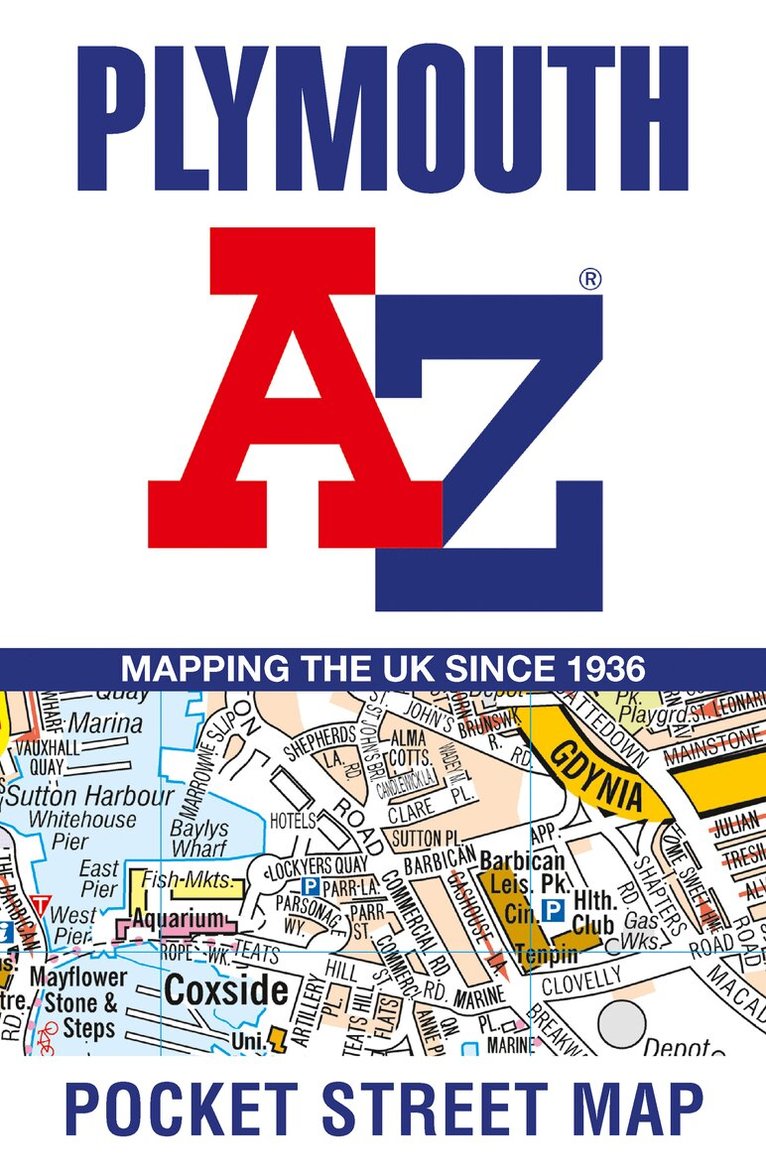
Plymouth A-Z Pocket Street Map
Accurate Street Map for Easy Navigation
Av A-Z Maps
Del i serien Geographers' A-Z Map Co Ltd
63 kr
Tillfälligt slut
Beskrivning
Navigate your way around Plymouth with detailed street maps from A-ZThis up-to-date, folded A-Z street map includes all of the 2000 streets in and around Plymouth.As well as the Royal William Yard and Crownhill Fort, the other areas covered include Stoke, Efford, Pennycross, St Budeaux, King’s Tamerton, Eggbuckland and Manadon.The large-scale street map includes the following:• Places of interest• Postcode districts, one-way streets and car parks• Index to streets, places of interest, place and area names, park and ride sites, national rail stations, hospitals and hospicesThe perfect reference map for finding your way around Plymouth.
Produktinformation
- Utgivningsdatum: 2025-04-10
- Mått: 90 x 140 x 6 mm
- Vikt: 40 g
- Format: Övrigt
- Språk: Engelska
- Serie: Geographers' A-Z Map Co Ltd
- Antal sidor: 2
- Upplaga: 2
- Förlag: HarperCollins Publishers
- ISBN: 9780008725488
Utforska kategorier
Mer om författaren
Britain’s leading street map publisher providing cartographic services, digital data products and paper mapping publications (including Street Atlases, Visitors Guides, Great Britain Road Atlases and The Adventure Atlas).
Recensioner i media
Select Guide Rating
Betyg & recensioner
0 recensioner
Inga recensioner tillgängliga.