Häftad, Engelska, 2025
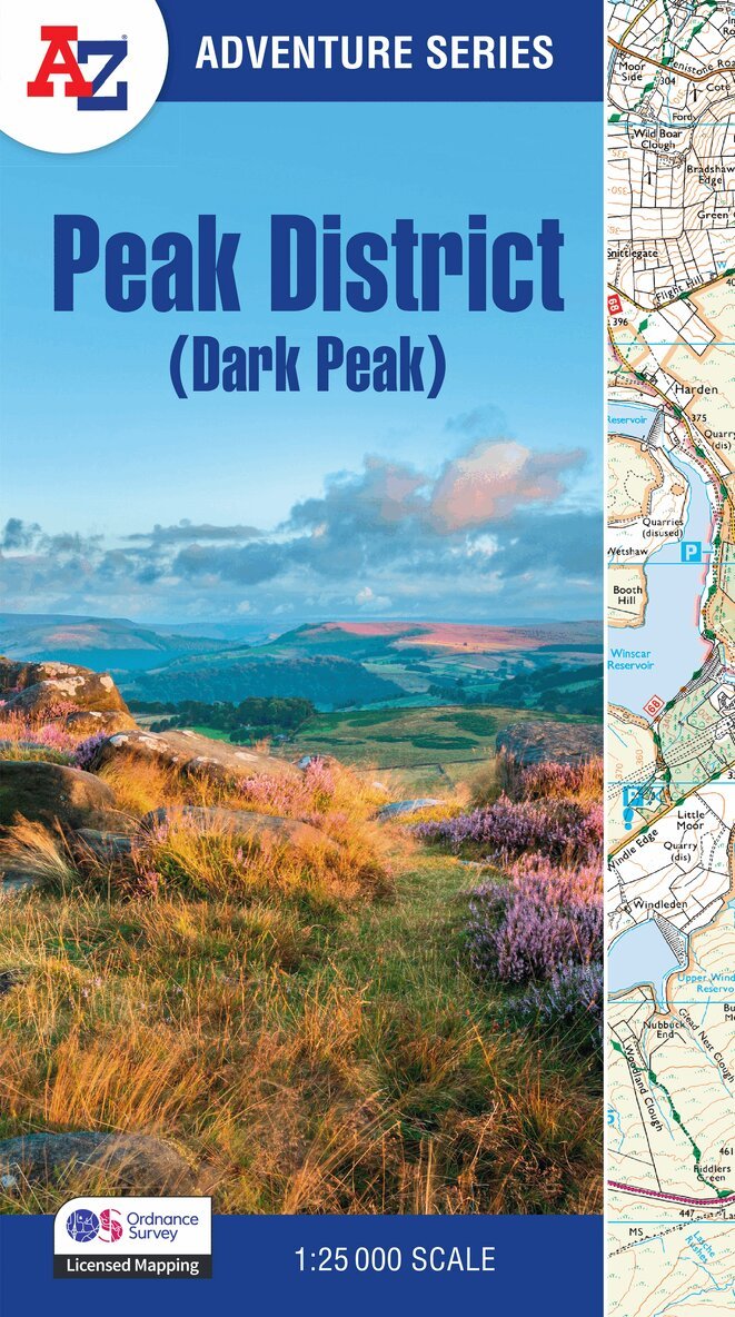
Peak District (Dark Peak)
Av A-Z Maps
155 kr
Skickas tisdag 20/10. Fri frakt över 249 kr.
Beskrivning
The A-Z Adventure Series uses Ordnance Survey mapping and is the perfect companion for walkers, off-road cyclists, and anyone wishing to explore the great outdoors.This A-Z Adventure Atlas of the Peak District (Dark Peak) features 50 pages of continuous Ordnance Survey mapping covering: Peak District National Park (northern part)Kinder ScoutHope ValleyHathersageCastletonSnake PassDerwent ValleyThis National Trail Map features detailed mapping at a scale of 1:25 000, providing complete coverage of the Peak District (Dark Peak). Additional features include: Information CentresHotels/B&BsYouth HostelsCampsites (seasonal opening)Public HousesShopsRestaurantsCafes (seasonal opening)Petrol StationsOther books available in the A-Z Adventure series include: Pembrokeshire Coast Path, Peddars Way and Norfolk Coast Path, South Downs Way, Cotswold Way, South West Coast Path and The North Coast 500.
Produktinformation
- Utgivningsdatum: 2025-03-27
- Mått: 240 x 4 x 134 mm
- Vikt: 270 g
- Format: Häftad
- Språk: Engelska
- Serie: -Z Adventure Series
- Antal sidor: 60
- Upplaga: 3
- Förlag: HarperCollins Publishers
- ISBN: 9780008744205
- Miljömärkning: Produced using independently certified paper to ensure responsible forestry management. (Certification is by FSC, PEFC or SFI.)
Utforska kategorier
Betyg & recensioner
0 recensioner
Inga recensioner tillgängliga.