
Chet van Duzer – författare
Visar alla böcker från författaren . Handla med fri frakt och snabb leverans.
13 produkter
13 produkter
Häftad, Engelska, 2014
214 kr
Skickas inom 5-8 vardagar
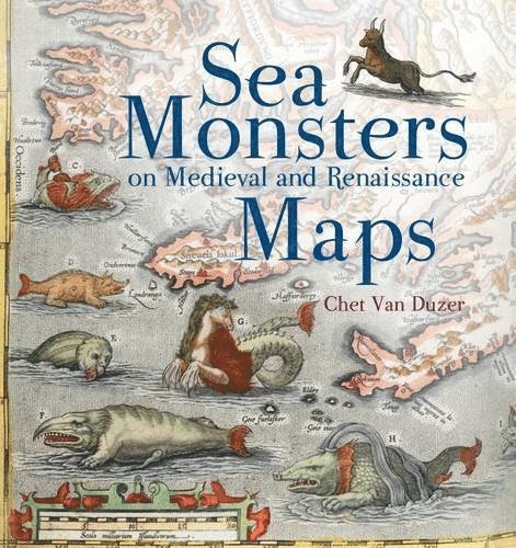
The sea monsters on medieval and Renaissance maps, whether swimming vigorously, gambolling amid the waves, attacking ships, or simply displaying themselves for our appreciation, are one of the most visually engaging elements on these maps, and yet they have never been carefully studied. The subject is important not only in the history of cartography, art, and zoological illustration, but also in the history of the geography of the 'marvellous' and of western conceptions of the ocean. Moreover, the sea monsters depicted on maps can supply important insights into the sources, influences, and methods of the cartographers who drew or painted them. In this highly-illustrated book the author analyzes the most important examples of sea monsters on medieval and Renaissance maps produced in Europe, beginning with the earliest mappaemundi on which they appear in the tenth century and continuing to the end of the sixteenth century.
Häftad, Engelska, 2020
585 kr
Skickas inom 5-8 vardagar
Inbunden, Engelska, 2020
656 kr
Skickas inom 5-8 vardagar
Häftad, Engelska, 2010
510 kr
Skickas inom 10-15 vardagar
Inbunden, Engelska, 2017
1 294 kr
Skickas inom 5-8 vardagar
Häftad, Engelska, 2018
1 144 kr
Skickas inom 5-8 vardagar
Häftad, Engelska, 2018
1 334 kr
Skickas inom 10-15 vardagar
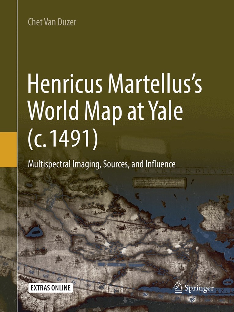
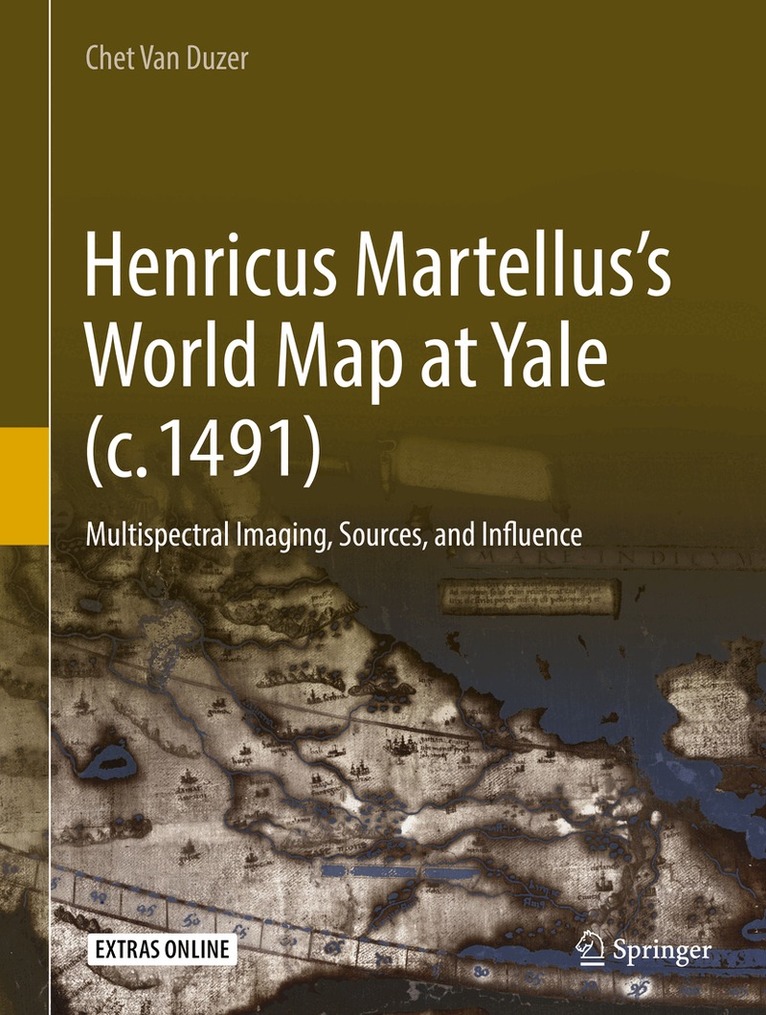
This book presents groundbreaking new research on a fifteenth-century world map by Henricus Martellus, c. 1491, now at Yale. The importance of the map had long been suspected, but it was essentially unstudiable because the texts on it had faded to illegibility. Multispectral imaging of the map, performed with NEH support in 2014, rendered its texts legible for the first time, leading to renewed study of the map by the author. This volume provides transcriptions, translations, and commentary on the Latin texts on the map, particularly their sources, as well as the place names in several regions. This leads to a demonstration of a very close relationship between the Martellus map and Martin Waldseemüller’s famous map of 1507. One of the most exciting discoveries on the map is in the hinterlands of southern Africa. The information there comes from African sources; the map is thus a unique and supremely important document regarding African cartography in the fifteenth century. This book is essential reading for digital humanitarians and historians of cartography.
Inbunden, Engelska, 2019
560 kr
Skickas inom 10-15 vardagar
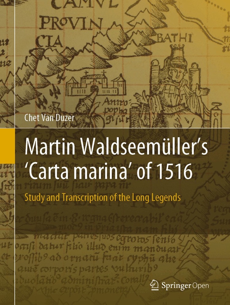
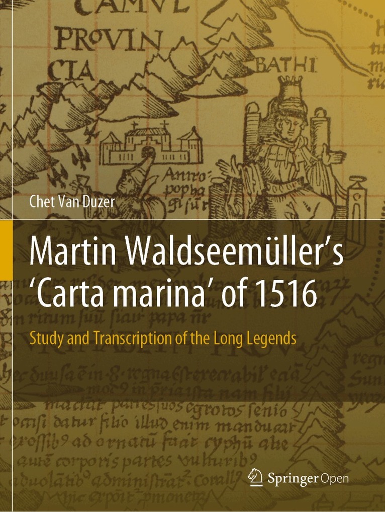
This open access book presents the first detailed study of one of the most important masterpieces of Renaissance cartography, Martin Waldseemüller’s Carta marina of 1516. By transcribing, translating into English, and detailing the sources of all of the descriptive texts on the map, as well as the sources of many of the images, the book makes the map available to scholars in a wholly unprecedented way. In addition, the book provides revealing insights into how Waldseemüller went about making the map -- information that can’t be found in any other source. The Carta marina is the result of Waldseemüller’s radical re-evaluation of what a world map should be; he essentially started from scratch when he created it, rejecting the Ptolemaic model and other sources he had used in creating his 1507 map, and added more descriptive texts and a wealth of illustrations. Given its content, the book offers an essential reference work not only on this map, but also for anyone working in sixteenth-century European cartography.
Häftad, Engelska, 2020
560 kr
Skickas inom 10-15 vardagar
This open access book presents the first detailed study of one of the most important masterpieces of Renaissance cartography, Martin Waldseemüller’s Carta marina of 1516. By transcribing, translating into English, and detailing the sources of all of the descriptive texts on the map, as well as the sources of many of the images, the book makes the map available to scholars in a wholly unprecedented way. In addition, the book provides revealing insights into how Waldseemüller went about making the map -- information that can’t be found in any other source. The Carta marina is the result of Waldseemüller’s radical re-evaluation of what a world map should be; he essentially started from scratch when he created it, rejecting the Ptolemaic model and other sources he had used in creating his 1507 map, and added more descriptive texts and a wealth of illustrations. Given its content, the book offers an essential reference work not only on this map, but also for anyone working in sixteenth-century European cartography.
Inbunden, Engelska, 2018
1 336 kr
Skickas inom 10-15 vardagar
This book presents groundbreaking new research on a fifteenth-century world map by Henricus Martellus, c. 1491, now at Yale. The importance of the map had long been suspected, but it was essentially unstudiable because the texts on it had faded to illegibility. Multispectral imaging of the map, performed with NEH support in 2014, rendered its texts legible for the first time, leading to renewed study of the map by the author. This volume provides transcriptions, translations, and commentary on the Latin texts on the map, particularly their sources, as well as the place names in several regions. This leads to a demonstration of a very close relationship between the Martellus map and Martin Waldseemüller’s famous map of 1507. One of the most exciting discoveries on the map is in the hinterlands of southern Africa. The information there comes from African sources; the map is thus a unique and supremely important document regarding African cartography in the fifteenth century. This book is essential reading for digital humanitarians and historians of cartography.
E-bok
Engelska, 20181 785 kr
Läs direkt efter köp
This book presents groundbreaking new research on a fifteenth-century world map by Henricus Martellus, c. 1491, now at Yale. The importance of the map had long been suspected, but it was essentially unstudiable because the texts on it had faded to illegibility. Multispectral imaging of the map, performed with NEH support in 2014, rendered its texts legible for the first time, leading to renewed study of the map by the author. This volume provides transcriptions, translations, and commentary on the Latin texts on the map, particularly their sources, as well as the place names in several regions. This leads to a demonstration of a very close relationship between the Martellus map and Martin Waldseemüller’s famous map of 1507. One of the most exciting discoveries on the map is in the hinterlands of southern Africa. The information there comes from African sources; the map is thus a unique and supremely important document regarding African cartography in the fifteenth century. This book is essential reading for digital humanitarians and historians of cartography.
Inbunden, Engelska, 2015
2 909 kr
Skickas inom 5-8 vardagar
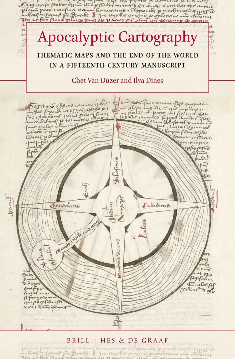
In Apocalyptic Cartography: Thematic Maps and the End of the World in a Fifteenth-Century Manuscript, Chet Van Duzer and Ilya Dines analyse Huntington Library HM 83, an unstudied manuscript produced in Lübeck, Germany. The manuscript contains a rich collection of world maps produced by an anonymous but strikingly original cartographer. These include one of the earliest programs of thematic maps, and a remarkable series of maps that illustrate the transformations that the world was supposed to undergo during the Apocalypse. The authors supply detailed discussion of the maps and transcriptions and translations of the Latin texts that explain the maps. Copies of the maps in a fifteenth-century manuscript in Wolfenbüttel prove that this unusual work did circulate.A brief article about this book on the website of National Geographic can be found here.
- Nyhet

E-bok
Spanska, 202670 kr
Läs direkt efter köp
Los monstruos marinos plasmados en mapas medievales y renacentistas son de los elementos mas cautivadores de la cartografia antigua -bien sea que esas criaturas aparezcan nadando agilmente, retozando entre las olas, atacando barcos o simplemente exhibiendose ante nuestra mirada para que nos deleitemos con ellas-, pero nunca han sido estudiados con detenimiento. Se trata de un asunto central para la historia de la cartografia, para la historia del arte y, en particular, para la historia de la ilustracion zoologica, asi como para la historia de la geografia de lo asombroso y de las concepciones occidentales del mar. Los monstruos marinos, ademas, pueden ofrecer importantes claves sobre las fuentes, las influencias y los metodos de los cartografos que los dibujaron o los pintaron. En este libro, el autor analiza los mas importantes ejemplos de monstruos marinos incluidos en mapas medievales y renacentistas producidos en Europa, comenzando con los que fueron representados en los mappaemundi mas tempranos, del siglo X, hasta llegar a los que figuran en mapas de finales del siglo XVI. La exhaustividad y la vistosidad de esta obra, ilustrada con abundantes imagenes, la convierten en un trabajo de referencia fundamental.