• Fri frakt över 249 kr
  • •
  • Snabba leveranser
  • •
  • Billiga böcker
Kundservice

Du är på sajten för privatpersoner.

Företag, bibliotek eller offentlig verksamhet?

Du handlar på classic.bokus.com, där alla dina funktioner finns intakta.
Till classic.bokus.com
Bokus logotyp. Gå till startsidan.
  • Erbjudanden
  • Nyheter
  • Student
  • Topplistor
  • Barn & ungdom
  • Bokus Play
  • E-böcker
  • Pocketböcker
  • Spel & pussel

10% rabatt på allt med kod: NYSTART10 →

Sidfot

Mina sidor

    Hjälp

    • Kundservice
    • Vanliga frågor och svar
    • Frakt och leverans
    • Retur vid ångerrätt
    • Reklamera vara
    • Betalning
    • Köpvillkor
    • Allmänna villkor
    • Information om webbplatsens tillgänglighet

    Om Bokus

    • Om oss
    • Pressrum
    • För studenter
    • För företag
    • För bibliotek och offentlig verksamhet
    • För leverantörer
    • Hållbarhet

    Populärt

    • Aktuella erbjudanden
    • Presentkort
    • Studentlitteratur
    • Nya böcker
    • Topplistor
    • Signerade böcker
    • Engelska böcker

    Inspiration

    • Boktips
    • BookTok
    • Populära bokserier
    • Barnbokskaraktärer
    • Populära författare
    Logotyp för Bokus
    Följ oss på Facebook (extern länk)Följ oss på Instagram (extern länk)Följ oss på YouTube (extern länk)Följ oss på TikTok (extern länk)
    bokus @ CookiesAnpassa cookiesIntegritetspolicyKöpvillkor
    Till Citymail hemsida (extern länk)Till Budbee hemsida (extern länk)Till Postnord hemsida (extern länk)Till Schenker hemsida (extern länk)Till Early Bird hemsida (extern länk)Till Walleys hemsida (extern länk)
    1. Samhälle och politik
    2. Samhälle och kultur
    3. Kultur och medier
    4. Kulturvetenskap

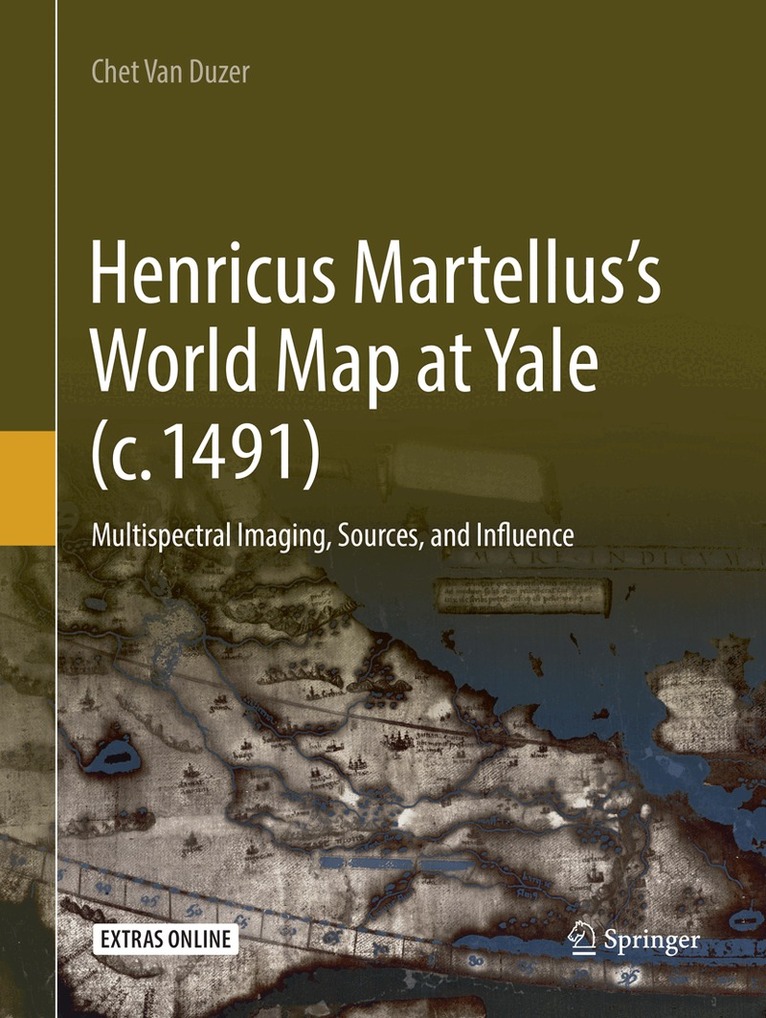
    Henricus Martellus’s World Map at Yale (c. 1491)

    Multispectral Imaging, Sources, and Influence

    AvChet Van Duzer

    Häftad, Engelska, 2018

    1 341 kr

    Beställningsvara. Skickas inom 10-15 vardagar. Fri frakt över 249 kr.

    Fler format och utgåvor

    Inbunden

    1 341 kr

    E-bok

    1 780 kr

    Beskrivning

    This book presents groundbreaking new research on a fifteenth-century world map by Henricus Martellus, c. 1491, now at Yale. The importance of the map had long been suspected, but it was essentially unstudiable because the texts on it had faded to illegibility. Multispectral imaging of the map, performed with NEH support in 2014, rendered its texts legible for the first time, leading to renewed study of the map by the author. This volume provides transcriptions, translations, and commentary on the Latin texts on the map, particularly their sources, as well as the place names in several regions. This leads to a demonstration of a very close relationship between the Martellus map and Martin Waldseemüller’s famous map of 1507. One of the most exciting discoveries on the map is in the hinterlands of southern Africa. The information there comes from African sources; the map is thus a unique and supremely important document regarding African cartography in the fifteenth century. This book is essential reading for digital humanitarians and historians of cartography.

    Produktinformation

    • Utgivningsdatum:2018-12-22
    • Mått:210 x 279 x 12 mm
    • Vikt:642 g
    • Format:Häftad
    • Språk:Engelska
    • Antal sidor:208
    • Förlag:Springer Nature Switzerland AG
    • ISBN:9783030083052

    Utforska kategorier

    • Kulturvetenskap inom Samhälle och politik
    • Afrikas historia inom Historia och arkeologi
    • Geografi inom Naturvetenskap och teknik

    Mer om författaren

    Chet Van Duzer is a David Rumsey Research Fellow at the John Carter Brown Library and a board member of the Lazarus Project at the University of Rochester, which brings multispectral imaging to cultural institutions around the world. He has also held research fellowships at the Library of Congress, the Huntington Library, the Clements Library, and Princeton University Library. He has published extensively on medieval and Renaissance maps in journals such as Imago Mundi, Terrae Incognitae, Word & Image, and Viator. He is the author of Johann Schöner’s Globe of 1515: Transcription and Study, the first detailed analysis of one of the earliest surviving terrestrial globes that includes the New World; and (with John Hessler) Seeing the World Anew: The Radical Vision of Martin Waldseemüller’s 1507 & 1516 World Maps. His book Sea Monsters on Medieval and Renaissance Maps was published in 2013 by the British Library, and is now available in German and Russian editions, with a Chinese edition on the way. In 2014 the Library of Congress published a study of Christopher Columbus’s Book of Privileges which he co-authored with John Hessler and Daniel De Simone. His book The World for a King: Pierre Desceliers’ Map of 1550 was published at the end of 2015 by the British Library, and in 2016 Brill published a book he co-authored with Ilya Dines, Apocalyptic Cartography: Thematic Maps and the End of the World in a Fifteenth-Century Manuscript. His current NEH project is a study of the annotations in a heavily annotated copy of the 1525 edition of Ptolemy’s Geography.

    Recensioner i media

    “This first overall study of Martellus’s map provides new findings solidly established and focuses on the Martellus figure hitherto poorly known.” (Patrick Gautier Dalché, Aethiopica, Vol. 22, 2019)

    Innehållsförteckning

    • Acknowledgements.- Preface.- 1 Henricus Martellus and his Works.- 2 The Legends on the Yale Martellus Map.- 3 Toponyms in Arabia, Syria, and Mesopotamia.- 4 Toponyms on the Western and Southern Coasts of Africa.- 5 Southern Africa and the Egyptus novelo maps.- 6 The Influence of the Yale Martellus Map.- 7 Conclusions.- Appendix A: Equipment and Techniques Used in the Multispectral Imaging of the Yale Martellus Map, by Roger Easton, Gregory Heyworth, and Kenneth Boydston.- Appendix B: Supplementary Images.