
Jonathan Li – författare
3 733 kr
Skickas inom 10-15 vardagar
1 975 kr
Skickas inom 10-15 vardagar
1 362 kr
Läs direkt efter köp
942 kr
Läs direkt efter köp
942 kr
Läs direkt efter köp
1 177 kr
Läs direkt efter köp
1 177 kr
Läs direkt efter köp
1 146 kr
Skickas inom 10-15 vardagar
3 100 kr
Skickas inom 10-15 vardagar

1 362 kr
Läs direkt efter köp
1 082 kr
Skickas inom 10-15 vardagar
1 416 kr
Läs direkt efter köp
1 082 kr
Skickas inom 10-15 vardagar
1 619 kr
Skickas inom 10-15 vardagar

2 049 kr
Läs direkt efter köp
1 619 kr
Skickas inom 10-15 vardagar
1 619 kr
Skickas inom 10-15 vardagar
2 049 kr
Läs direkt efter köp
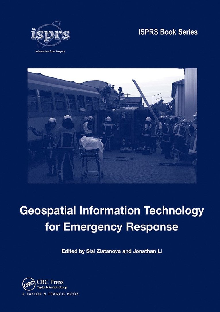
Natural and anthropogenic disasters have caused a large number of victims and significant social and economic losses in the last few years. There is no doubt that the risk prevention and disaster management sector needs drastic measures and improvements in order to decrease damage and save lives of inhabitants. Effective utilization of satellite positioning, remote sensing, and GIS in disaster monitoring and management requires research and development in numerous areas: data collection, access and delivery, information extraction and analysis, management and their integration with other data sources (airborne and terrestrial imagery, GIS data, etc.), data standardization, organizational and legal aspects of sharing of remote sensing information. This book provides researchers and practitioners with a good overview of what is being developed in this topical area.

1 619 kr
Skickas inom 10-15 vardagar
1 082 kr
Skickas inom 10-15 vardagar
1 416 kr
Läs direkt efter köp
1 082 kr
Skickas inom 10-15 vardagar
1 082 kr
Skickas inom 10-15 vardagar
1 416 kr
Läs direkt efter köp
The chapters in this book present state-of-the-art geomatics technologies applied in global environmental studies. This text provides the latest research findings and delivers complete references to related publications. This book will motivate the undergraduate and graduate students, researchers and practitioners to better understand the environmental changes with informed solutions.
Global Change studies are increasingly considered a vital source of information to understand the Earth Environment, especially in the framework of human-induced, climate change and land use transformation. Satellite Earth Observing systems and geomatics technologies provide a unique tool to monitor and model the changes, respectively. While the range of applications and innovative techniques are always increasing, this book provides a summary of key study cases where satellite data offers critical information to understand the usefulness of the geomatics technologies and global environmental issues. Geomatics technologies provide powerful tools to model and analyze the effects of those global environmental changes towards minimizing their adverse impacts on human health and the environment.
1 082 kr
Skickas inom 10-15 vardagar