• Fri frakt över 249 kr
  • •
  • Snabba leveranser
  • •
  • Billiga böcker
Kundservice

Du är på sajten för privatpersoner.

Företag, bibliotek eller offentlig verksamhet?

Du handlar på classic.bokus.com, där alla dina funktioner finns intakta.
Till classic.bokus.com
Bokus logotyp. Gå till startsidan.
  • Erbjudanden
  • Nyheter
  • Student
  • Topplistor
  • Barn & ungdom
  • Bokus Play
  • E-böcker
  • Pocketböcker
  • Spel & pussel

10% rabatt på allt med kod NYSTART10 →

Sidfot

Mina sidor

    Hjälp

    • Kundservice
    • Vanliga frågor och svar
    • Frakt och leverans
    • Retur vid ångerrätt
    • Reklamera vara
    • Betalning
    • Köpvillkor
    • Allmänna villkor
    • Information om webbplatsens tillgänglighet

    Om Bokus

    • Om oss
    • Pressrum
    • För studenter
    • För företag
    • För bibliotek och offentlig verksamhet
    • För leverantörer
    • Hållbarhet

    Populärt

    • Aktuella erbjudanden
    • Presentkort
    • Studentlitteratur
    • Nya böcker
    • Topplistor
    • Signerade böcker
    • Engelska böcker

    Inspiration

    • Boktips
    • BookTok
    • Populära bokserier
    • Barnbokskaraktärer
    • Populära författare
    Logotyp för Bokus
    Följ oss på Facebook (extern länk)Följ oss på Instagram (extern länk)Följ oss på YouTube (extern länk)Följ oss på TikTok (extern länk)
    bokus @ CookiesAnpassa cookiesIntegritetspolicyKöpvillkor
    Till Citymail hemsida (extern länk)Till Budbee hemsida (extern länk)Till Postnord hemsida (extern länk)Till Schenker hemsida (extern länk)Till Early Bird hemsida (extern länk)Till Walleys hemsida (extern länk)
    1. Naturvetenskap och teknik
    2. Geovetenskap
    3. Geografi

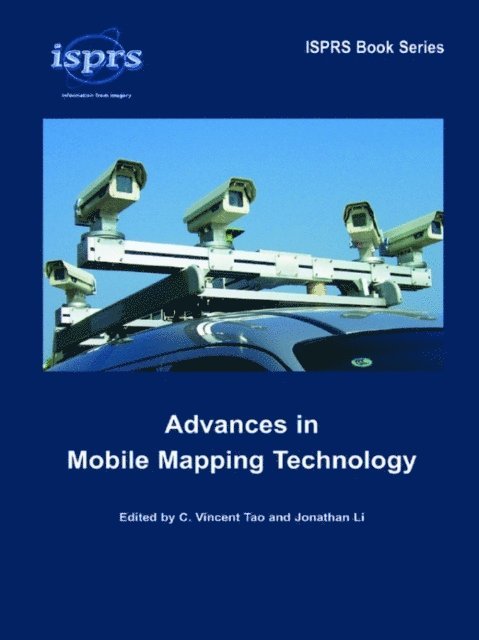
    Advances in Mobile Mapping Technology

    AvC. Vincent Tao,Jonathan Li

    Inbunden, Engelska, 2007

    Del i serien ISPRS Book Series

    2 058 kr

    Beställningsvara. Skickas inom 10-15 vardagar. Fri frakt över 249 kr.

    Beskrivning

    The growing market penetration of Internet mapping, satellite imaging and personal navigation has opened up great research and business opportunities to geospatial communities. Multi-platform and multi-sensor integrated mapping technology has clearly established a trend towards fast geospatial data acquisition. Sensors can be mounted on various platforms, such as satellites, aircrafts or helicopters, terrestrial vehicles, water-based vessels, and may even be hand-carried by individuals. Mobile mapping refers to a means of collecting geospatial data using mapping sensors mounted on a mobile platform. Its development was primarily driven by the advances in digital imaging and direct-georeferencing technologies. With the escalating use of telecommunication networks and the increasing availability of low-cost and portable sensors, mobile mapping has become more dynamic, and even pervasive. The book addresses a wide variety of research issues in the mobile mapping community, ranging from system development to sensor integration, imaging algorithms and mobile GIS applications. This book will provide researchers and practitioners a good overall view of what is being developed in this topical area.

    Produktinformation

    • Utgivningsdatum:2007-02-08
    • Mått:174 x 246 x undefined mm
    • Vikt:520 g
    • Format:Inbunden
    • Språk:Engelska
    • Serie:ISPRS Book Series
    • Antal sidor:192
    • Förlag:Taylor & Francis Ltd
    • ISBN:9780415427234

    Utforska kategorier

    • Geografi inom Naturvetenskap och teknik

    Mer om författaren

    Dr. C. Vincent Tao is Director of Microsoft Virtual Earth Business Unit. Prior to joining Microsoft, he was Canada Research Chair in Geomatics, Professor and the Director of the GeoICT Lab at York University in Toronto, Canada. He was the Conference Chair of MMT’2004. He is currently serving as Chair for the ISPRS WG III/3 (2004-2008). His research interest ranges from on-line mapping, 3D web, local search, Lidar and image based feature extraction and 3D modeling. Dr. Jonathan Li is Associate Professor, Department of Geography, University of Waterloo, Canada. From 2001-2006, he was Assistant/Associate Professor and the Director of GeoVELab at Ryerson University in Toronto. He was the Conference Secretary of MMT’2004. He is currently serving as Co-Chair for the ISPRS WG IV/8 (2004-2008). His research interests include remote sensing, 3D urban modeling, intelligent object extraction from imagery, spatial data integration for disaster management, and WebGIS.

    Recensioner i media

    ‘The diversity of the topics and authors‘ backgrounds makes this book a good reference for researchers and practitioners in the areas of system development, sensor integration, imaging algorithms, mobile data management, and monitoring and decision making efforts.’ ‘The book offers a wide range of research topics in an organized and well-presented manner.’‘The book includes selected papers from experts in the field of mobile mapping technology, which provide readers with not only an overview of recent advances and future technological trends in the field but also detailed technical description of system components, hardware and software integration and applications.' From: PHOTOGRAMMETRIC ENGINEERING & REMOTE SENSING -JOURNAL OF THE AMERICAN SOCIETY FOR PHOTOGRAMMETRY AND REMOTE SENSING, vol. 74, no. 4 (April 2008), pp 397/398.

    Innehållsförteckning

    • AcknowledgementsContributorsForeword: Advances in mobile mapping technologyPart 1. Terrestrial and airborne mobile mapping systemsPart 2. Multi-sensor integrationPart 3. Image processing and object extractionPart 4. Mobile GIS and distributed GISAuthor indexSubject index