• Fri frakt över 249 kr
  • •
  • Snabba leveranser
  • •
  • Billiga böcker
Kundservice

Du är på sajten för privatpersoner.

Företag, bibliotek eller offentlig verksamhet?

Du handlar på classic.bokus.com, där alla dina funktioner finns intakta.
Till classic.bokus.com
Bokus logotyp. Gå till startsidan.
  • Erbjudanden
  • Nyheter
  • Student
  • Topplistor
  • Barn & ungdom
  • Bokus Play
  • E-böcker
  • Pocketböcker
  • Spel & pussel

10% rabatt på allt med kod: NYSTART10 →

Sidfot

Mina sidor

    Hjälp

    • Kundservice
    • Vanliga frågor och svar
    • Frakt och leverans
    • Retur vid ångerrätt
    • Reklamera vara
    • Betalning
    • Köpvillkor
    • Allmänna villkor
    • Information om webbplatsens tillgänglighet

    Om Bokus

    • Om oss
    • Pressrum
    • För studenter
    • För företag
    • För bibliotek och offentlig verksamhet
    • För leverantörer
    • Hållbarhet

    Populärt

    • Aktuella erbjudanden
    • Presentkort
    • Studentlitteratur
    • Nya böcker
    • Topplistor
    • Signerade böcker
    • Engelska böcker

    Inspiration

    • Boktips
    • BookTok
    • Populära bokserier
    • Barnbokskaraktärer
    • Populära författare
    Logotyp för Bokus
    Följ oss på Facebook (extern länk)Följ oss på Instagram (extern länk)Följ oss på YouTube (extern länk)Följ oss på TikTok (extern länk)
    bokus @ CookiesAnpassa cookiesIntegritetspolicyKöpvillkor
    Till Citymail hemsida (extern länk)Till Budbee hemsida (extern länk)Till Postnord hemsida (extern länk)Till Schenker hemsida (extern länk)Till Early Bird hemsida (extern länk)Till Walleys hemsida (extern länk)
    1. Naturvetenskap och teknik
    2. Geovetenskap
    3. Geovetenskap

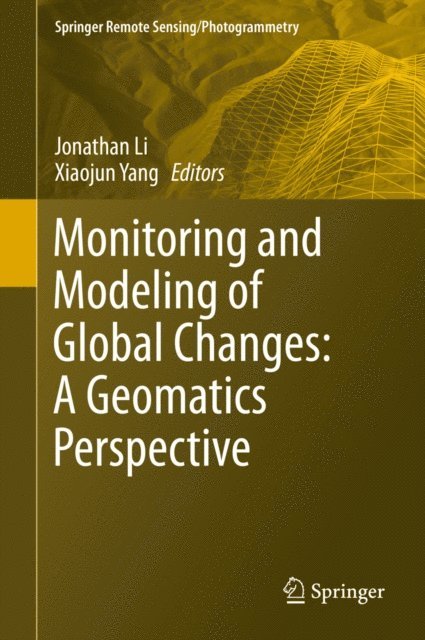
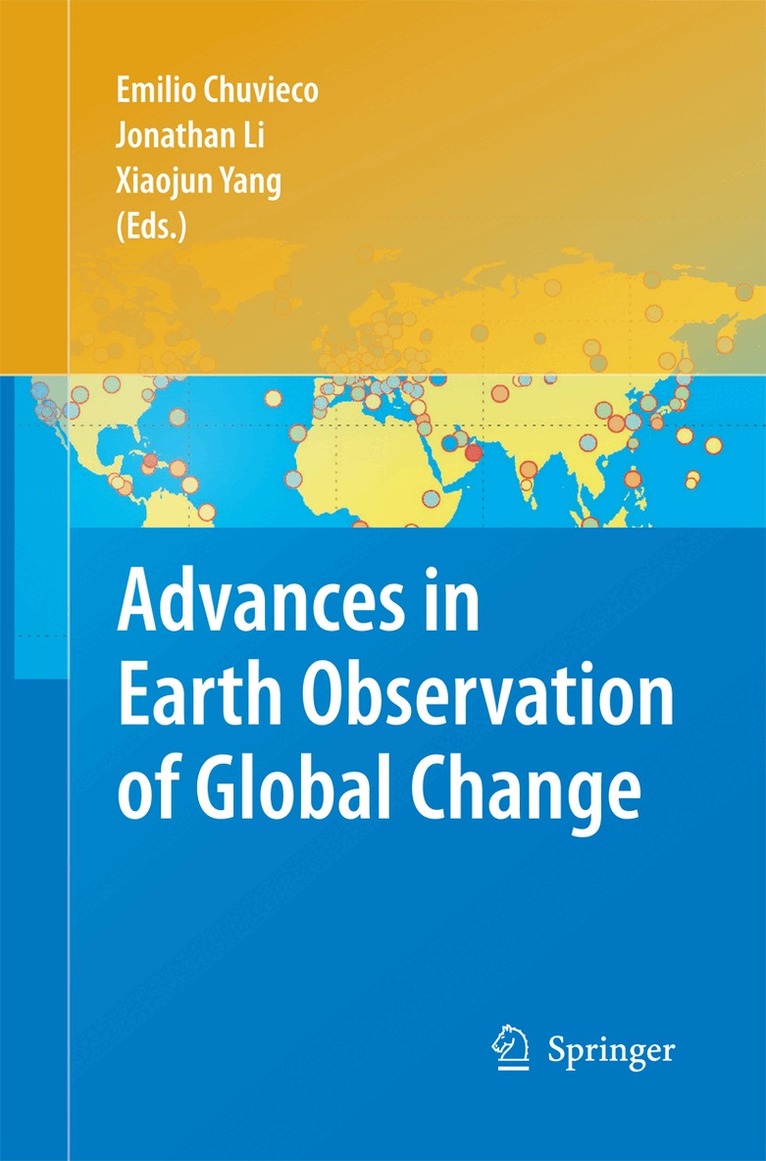
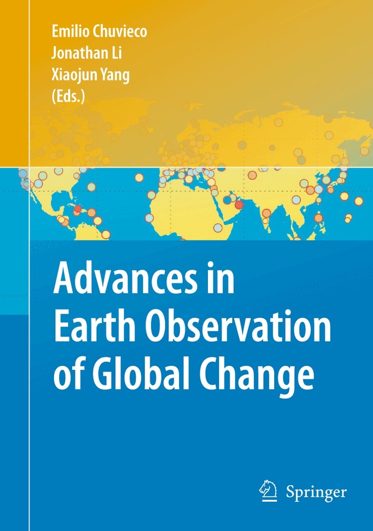
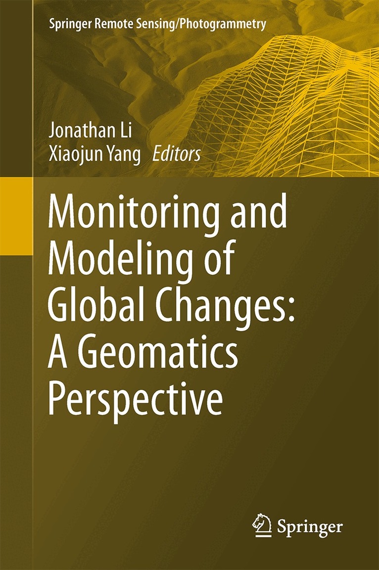
    Monitoring and Modeling of Global Changes: A Geomatics Perspective

    AvJonathan Li,Xiaojun Yang

    Häftad, Engelska, 2016

    Del i serien Springer Remote Sensing/Photogrammetry

    1 086 kr

    Beställningsvara. Skickas inom 10-15 vardagar. Fri frakt över 249 kr.

    Beskrivning

    The chapters in this book present state-of-the-art geomatics technologies applied in global environmental studies. This text provides the latest research findings and delivers complete references to related publications. This book will motivate the undergraduate and graduate students, researchers and practitioners to better understand the environmental changes with informed solutions. Global Change studies are increasingly considered a vital source of information to understand the Earth Environment, especially in the framework of human-induced, climate change and land use transformation. Satellite Earth Observing systems and geomatics technologies provide a unique tool to monitor and model the changes, respectively. While the range of applications and innovative techniques are always increasing, this book provides a summary of key study cases where satellite data offers critical information to understand the usefulness of the geomatics technologies and global environmental issues. Geomatics technologies provide powerful tools to model and analyze the effects of those global environmental changes towards minimizing their adverse impacts on human health and the environment.

    Produktinformation

    • Utgivningsdatum:2016-10-23
    • Mått:155 x 235 x 17 mm
    • Vikt:565 g
    • Format:Häftad
    • Språk:Engelska
    • Serie:Springer Remote Sensing/Photogrammetry
    • Antal sidor:320
    • Förlag:Springer
    • ISBN:9789402401561

    Utforska kategorier

    • Geovetenskap inom Naturvetenskap och teknik
    • Miljövetenskap och miljöpolitik inom Naturvetenskap och teknik
    • Meteorologi och klimatologi inom Naturvetenskap och teknik

    Mer om författaren

    Dr. Jonathan Li is currently Professor of Geomatics at the University of Waterloo, Ontario, Canada. He holds a PhD degree in Geomatics Engineering from the University of Cape Town, South Africa. Dr. Li’s research interests lie mainly in the areas of remote sensing and geographical information science. The focus is placed on use of the-state-of-art Earth observation and mobile mapping systems to derive spatial and attribute information to support effective urban-suburban planning and environmental management activities; to extract geometric information of urban structures for developing theories and models of urban morphology; to detect land use and land cover changes to study spatiotemporal dynamics and consequences of urbanization as a major form of global changes. He has been a guest editor for Photogrammetric Engineering and Remote Sensing, International Journal of Applied Earth Observation and Geoinformation and IEEE Journal of Selected Topics in Applied Earth Observation and Remote Sensing. He is currently serving as Vice Chair of ICA Commission on Mapping from Remote Sensor Images (2011-2015). He is co-author of more than 190 scientific papers and 5 books.Dr. Yang is a tenured faculty member with t the Florida State University, USA. He received higher education from China, Holland, and USA. Dr. Yang’s research interest includes the development of remote sensing and geospatial techniques to support geographic inquiries in the urban and environmental domains. He has done research for NASA and received competitive grants from NSF, EPA and the Chinese Academy of Sciences. Dr. Yang has authored or co-authored more than 90 publications including five books by Springer, CRC/Taylor Francis and John Wiley. He has been a guest editor for Environmental Management, ISPRS Journal of Photogrammetry and Remote Sensing, Photogrammetrical Engineering and Remote Sensing, International Journal of Remote Sensing, IEEE Journal of Selected Topics in AppliedEarth Observation and Remote Sensing, and Computer, Environment and Urban Systems. Dr. Yang currently serves the second term as Chair, Commission on Mapping from Remote Sensor Imagery of the International Cartographic Association (2011-2015) and Director of the Cartography and Geographic Information Society (2012-2015).

    Innehållsförteckning

    • 1. Land change modeling: status and challenges.- 2. Long-Term change dynamics using Landsat archive for the Region of Waterloo in Ontario, Canada.- 3. Modeling the effects of land use change and climate change on stream flow using GIS and hydrological model.- 4. Support vector machines for land cover mapping from remote sensor imagery.- 5. Digital processing of SAR Data and image analysis techniques.- 6. Development of a new wetness index based on RADARSAT-1 ScanSAR data.- 7. Mapping sea ice from satellite SAR imagery.- 8. Modelling shallow landslide risk using GIS and a distributed hydro-geotechnical model.- 9. Mapping coastal erosion risk in the southern Red River Delta, Vietnam.- 10. An integrated model for assessing carbon dioxide emissions considering climate change mitigation and flood risk adaptation interaction.- 11. Glaciological studies at Pasterze Glacier (Austria) based on aerial photographs.- 12. Grassland productivity simulation: integrating remote sensing and an ecosystem process model.- 13. Landscape ecological mapping for biodiversity evaluation using airborne laser data.- 14. Combining different data sources for city growth analysis and architectural heritage mapping.- 15. Influence of political regime change to land use development in urban areas in the Czech Republic.- Index.