Springer Remote Sensing/Photogrammetry – serie
Visar alla böcker i serien Springer Remote Sensing/Photogrammetry. Handla med fri frakt och snabb leverans.
47 produkter
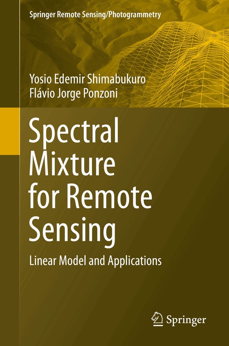
Spectral Mixture for Remote Sensing
Linear Model and Applications
Av Yosio Edemir Shimabukuro, Flávio Jorge Ponzoni
Inbunden, 2018
1527 kr
Lägg i varukorg
This book explains in a didactic way the basic concepts of spectral mixing, digital numbers and orbital sensors, and then presents the linear modelling technique of spectral mixing and the generation of fractional images. In addition to presenting a theoretical basis for spectral mixing, the book …
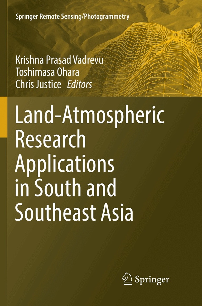
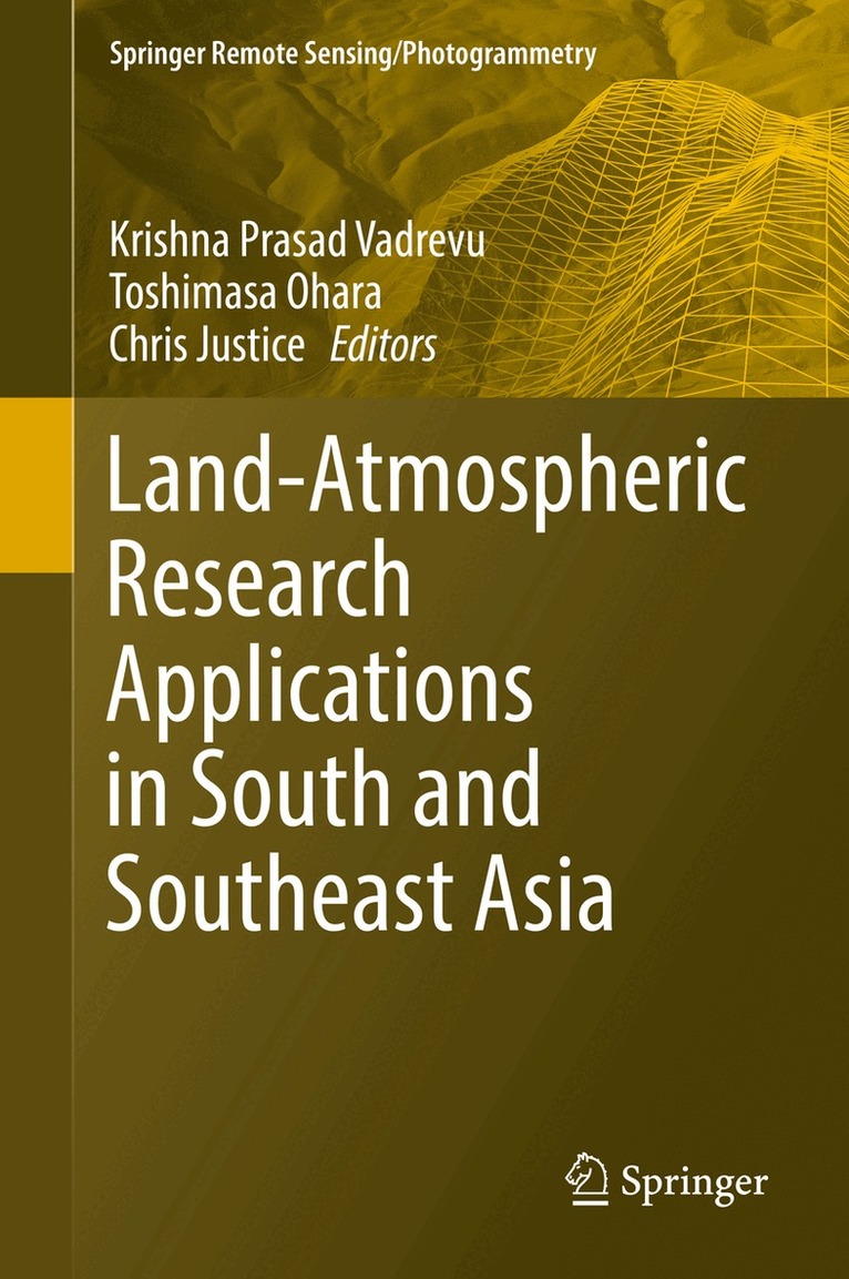
Land-Atmospheric Research Applications in South and Southeast Asia
Av Krishna Prasad Vadrevu, Toshimasa Ohara m. fl.
Häftad, 2018
2179 kr
Lägg i varukorg
This edited volume sheds new light on the impact of rapid Land Use/Cover Changes (LU/CC) on greenhouse gases (GHG’s) and aerosol emissions in South and Southeast Asia. Several countries in South/Southeast Asia have the highest population growth rates in the world, which is the main cause for LU/CC. …
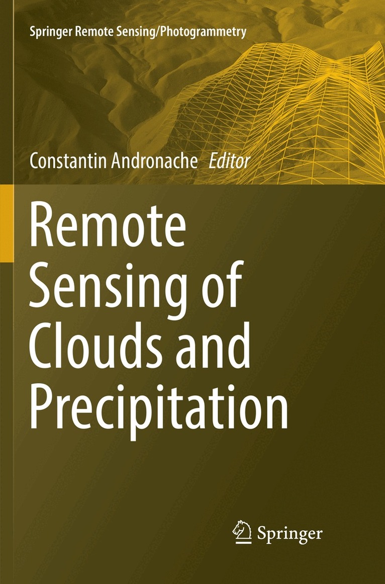
Remote Sensing of Clouds and Precipitation
Häftad, 2019
1853 kr
Lägg i varukorg
This book presents current applications of remote sensing techniques for clouds and precipitation for the benefit of students, educators, and scientists. It covers ground-based systems such as weather radars and spaceborne instruments on satellites. Measurements and modeling of precipitation are at …
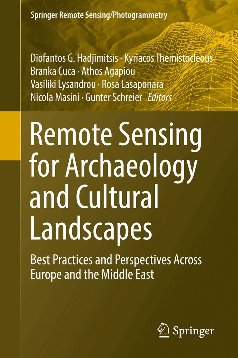
Remote Sensing for Archaeology and Cultural Landscapes
Best Practices and Perspectives Across Europe and the Middle East
Av Diofantos G. Hadjimitsis, Kyriacos Themistocleous m. fl.
Inbunden, 2019
1909 kr
Lägg i varukorg
This book investigates the added value that satellite technologies and remote sensing could provide for a more sustainable mapping, monitoring and management of heritage sites, be it for purposes of regular maintenance or for risk mitigation in case of natural or man-caused hazards. One of the …
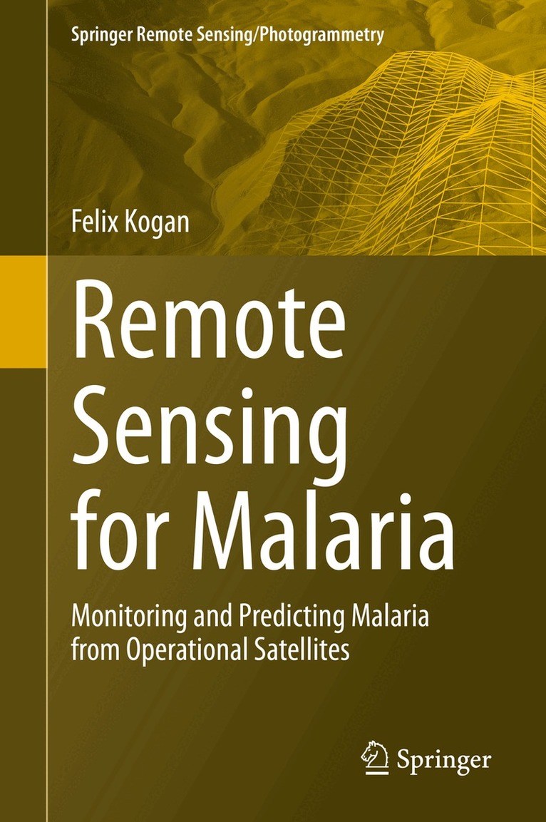
Remote Sensing for Malaria
Monitoring and Predicting Malaria from Operational Satellites
Av Felix Kogan
Inbunden, 2020
1126 kr
Lägg i varukorg
This book presents research using high-resolution operational satellite data for monitoring and assessing numerically how to reduce the area and intensity of malaria outbreaks. Satellite data and imageries a powerful and effective tool for malaria monitoring and reduction of the number of affected …
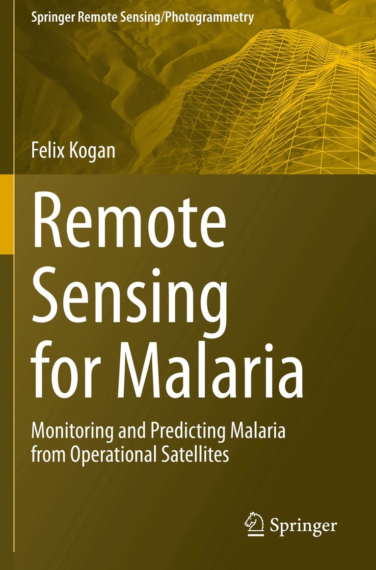
Remote Sensing for Malaria
Monitoring and Predicting Malaria from Operational Satellites
Av Felix Kogan
Häftad, 2021
1126 kr
Lägg i varukorg
This book presents research using high-resolution operational satellite data for monitoring and assessing numerically how to reduce the area and intensity of malaria outbreaks. Satellite data and imageries a powerful and effective tool for malaria monitoring and reduction of the number of affected …
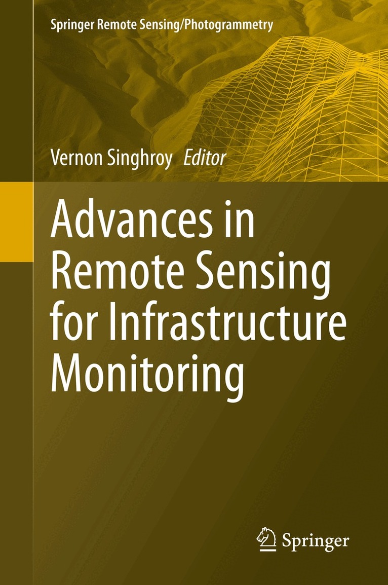
Advances in Remote Sensing for Infrastructure Monitoring
Inbunden, 2020
1745 kr
Lägg i varukorg
This volume provides international case studies of practical and advanced methods using satellite images integrated with other airborne, drone images and field data to monitor infrastructure. The book is timely, as infrastructure spending by national governments is increasing and robust monitoring …
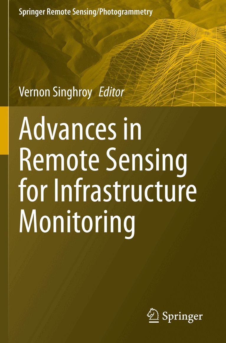
Advances in Remote Sensing for Infrastructure Monitoring
Häftad, 2021
1745 kr
Lägg i varukorg
This volume provides international case studies of practical and advanced methods using satellite images integrated with other airborne, drone images and field data to monitor infrastructure. The book is timely, as infrastructure spending by national governments is increasing and robust monitoring …
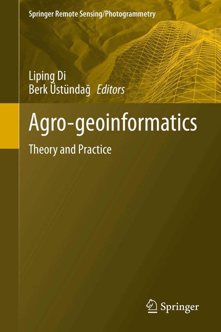
Agro-geoinformatics
Theory and Practice
Inbunden, 2021
1853 kr
Lägg i varukorg
This volume collects and presents the fundamentals, tools, and processes of utilizing geospatial information technologies to process remotely sensed data for use in agricultural monitoring and management. The issues related to handling digital agro-geoinformation, such as collecting (including …
Agro-geoinformatics
Theory and Practice
Häftad, 2022
1853 kr
Lägg i varukorg
This volume collects and presents the fundamentals, tools, and processes of utilizing geospatial information technologies to process remotely sensed data for use in agricultural monitoring and management. The issues related to handling digital agro-geoinformation, such as collecting (including …
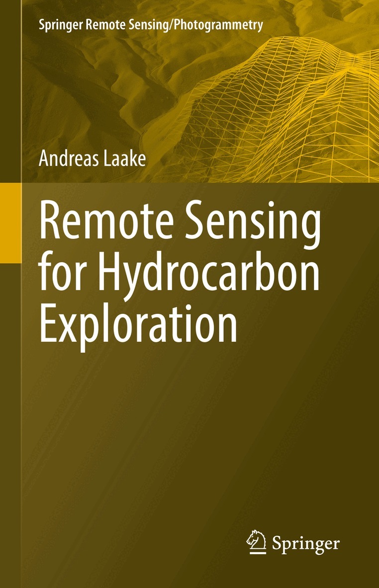
Remote Sensing for Hydrocarbon Exploration
Inbunden, 2021
1636 kr
Lägg i varukorg
This book provides insights into the benefits of using remote sensing data from a geoscientist's perspective, by integrating the data with the understanding of Earth's surface and subsurface. In 3 sections, the book takes a detailed look at what data explorationists use when they explore for …
Remote Sensing for Hydrocarbon Exploration
Häftad, 2022
1481 kr
Lägg i varukorg
This book provides insights into the benefits of using remote sensing data from a geoscientist's perspective, by integrating the data with the understanding of Earth's surface and subsurface. In 3 sections, the book takes a detailed look at what data explorationists use when they explore for …
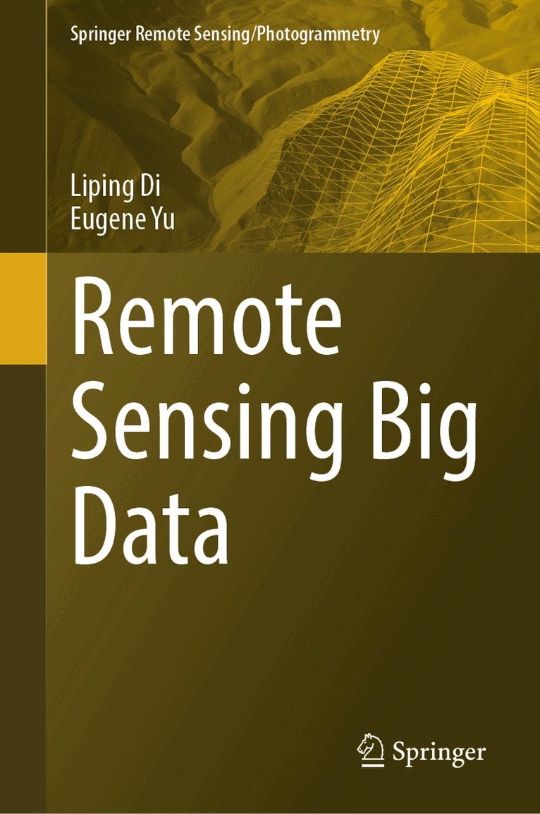
Remote Sensing Big Data
Inbunden, 2023
2296 kr
Lägg i varukorg
This monograph provides comprehensive coverage of the collection, management, and use of big data obtained from remote sensing. The book begins with an introduction to the basics of big data and remote sensing, laying the groundwork for the more specialized information to follow. The volume then …
Remote Sensing Big Data
Häftad, 2024
1745 kr
Lägg i varukorg
This monograph provides comprehensive coverage of the collection, management, and use of big data obtained from remote sensing. The book begins with an introduction to the basics of big data and remote sensing, laying the groundwork for the more specialized information to follow. The volume then …
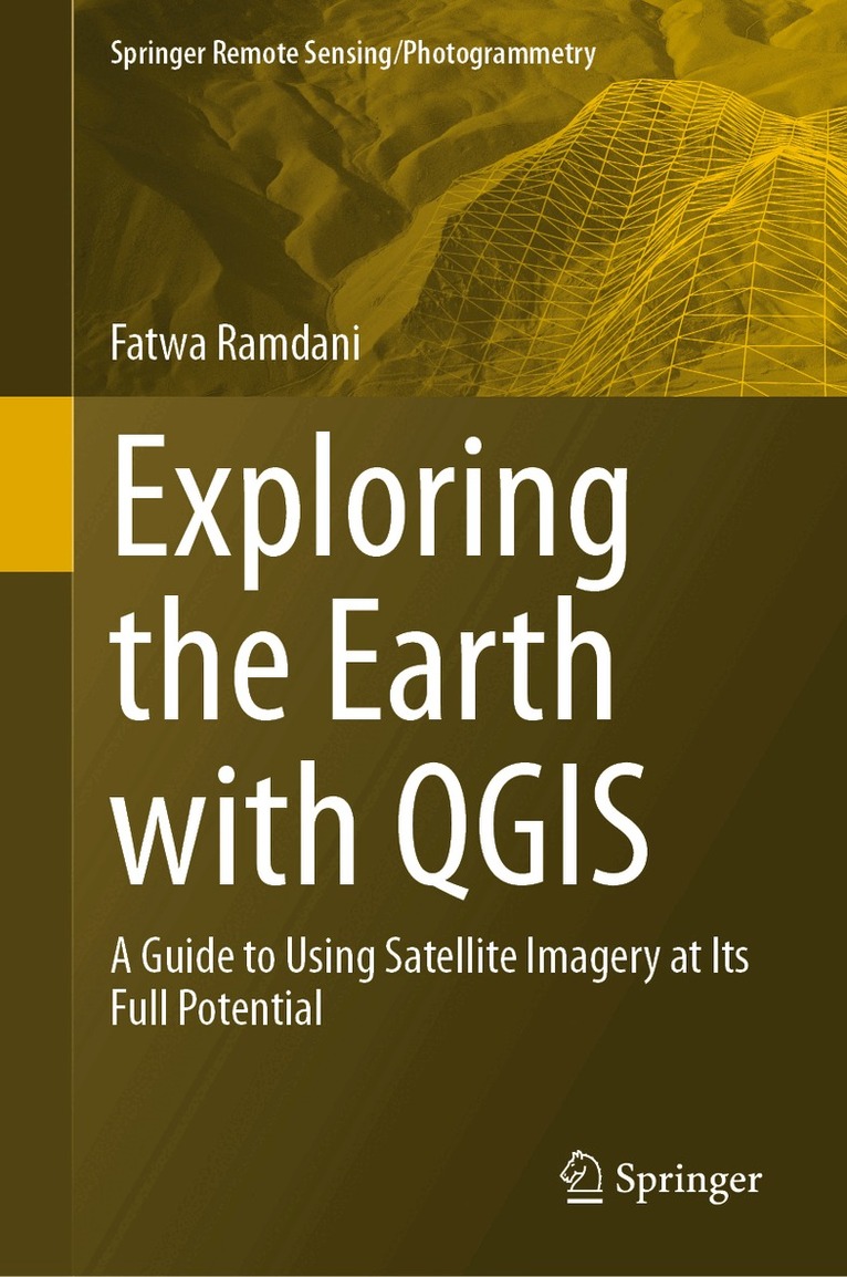
Exploring the Earth with QGIS
A Guide to Using Satellite Imagery at Its Full Potential
Inbunden, 2023
1745 kr
Lägg i varukorg
With the rapid advancements in satellite technology, earth remote sensing has become an indispensable tool for a wide range of applications, from environmental monitoring to disaster management. However, the vast amount of data generated by these satellites can be overwhelming for many researchers …
Exploring the Earth with QGIS
A Guide to Using Satellite Imagery at Its Full Potential
Häftad, 2024
1745 kr
Lägg i varukorg
With the rapid advancements in satellite technology, earth remote sensing has become an indispensable tool for a wide range of applications, from environmental monitoring to disaster management. However, the vast amount of data generated by these satellites can be overwhelming for many researchers …
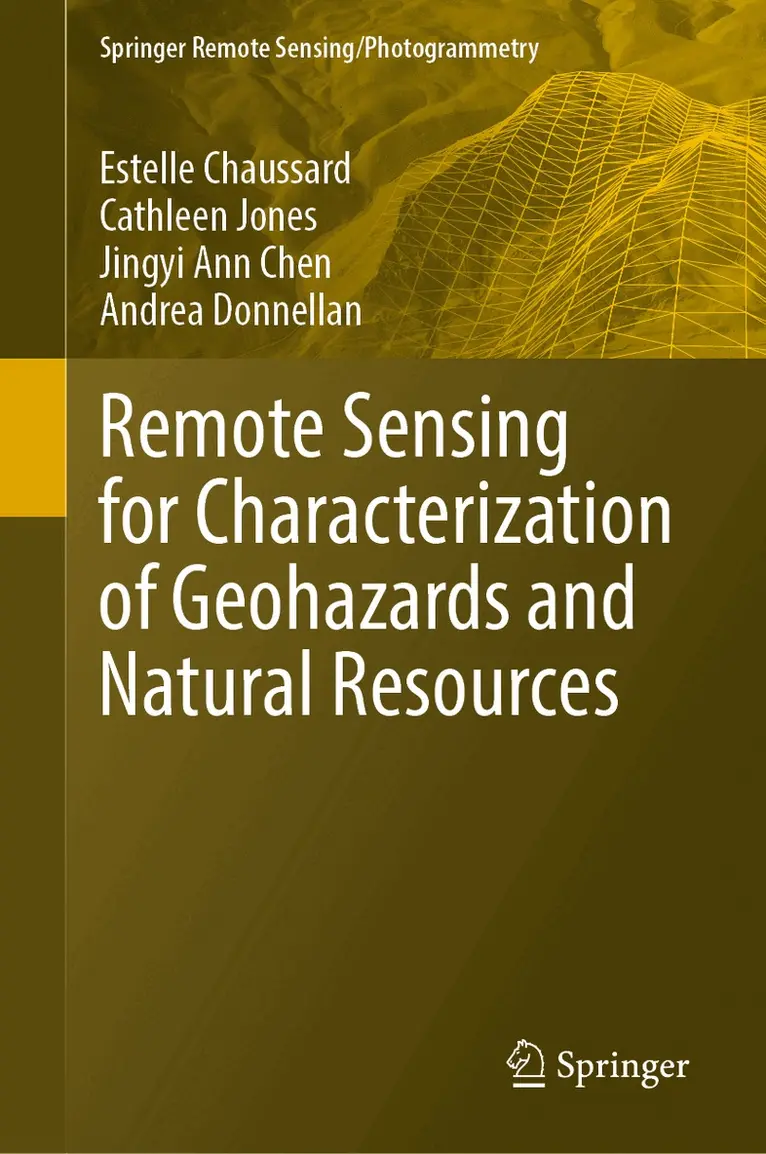
Remote Sensing for Characterization of Geohazards and Natural Resources
Av Estelle Chaussard, Cathleen Jones m. fl.
Inbunden, 2024
1636 kr
Lägg i varukorg
This book provides insights from a geoscientist’s perspective into the benefits and the potential of remote sensing methods to address problems with a high social impact: identifying the drivers of geohazards and developing new methods for monitoring natural resources. The fields covered include …
Remote Sensing for Characterization of Geohazards and Natural Resources
Av Estelle Chaussard, Cathleen Jones m. fl.
Häftad, 2025
1527 kr
Kommande
This book provides insights from a geoscientist’s perspective into the benefits and the potential of remote sensing methods to address problems with a high social impact: identifying the drivers of geohazards and developing new methods for monitoring natural resources. The fields covered include …
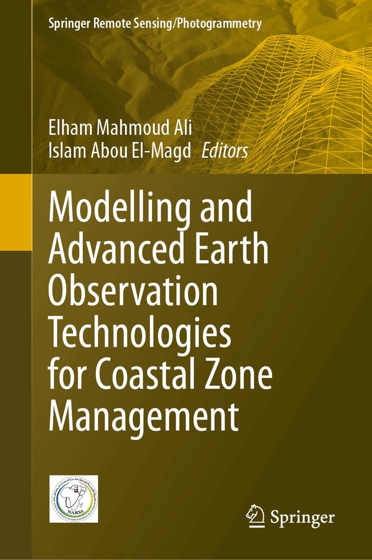
Modelling and Advanced Earth Observation Technologies for Coastal Zone Management
Av Elham Mahmoud Ali, Islam Abou El-Magd
Inbunden, 2025
1853 kr
Kommande
This volume provides readers with the tools to unlock the potential of Earth observation (EO) technologies to transform coastal zone management. This comprehensive guide delves into how EO technologies can be used monitor and manage coastal areas, emphasizing sustainable land use and development. …
Modelling and Advanced Earth Observation Technologies for Coastal Zone Management
Av Elham Mahmoud Ali, Islam Abou El-Magd
Häftad, 2026
1853 kr
Lägg i varukorg
This volume provides readers with the tools to unlock the potential of Earth observation (EO) technologies to transform coastal zone management. This comprehensive guide delves into how EO technologies can be used monitor and manage coastal areas, emphasizing sustainable land use and development. …
Revealing Ecosystem Services Through Geospatial Technologies
Beyond the Surface
Av Onisimo Mutanga, Prem Chandra Pandey m. fl.
Inbunden, 2025
1749 kr
Lägg i varukorg
This book covers the quantification of forests, grasslands, and woodlands ecosystem services from the supply side (e.g., regulatory and provisioning services) to the demand side, including human cultural needs. The Millennium Ecosystem Assessment (MA, 2005) defines ecosystem services as simply the …
Coastal Ecosystems from Space
Mapping and Analysis Using Open-Source GIS and Satellite Imagery
Inbunden, 2026
2191 kr
Lägg i varukorg
This book presents a comprehensive and accessible account of coastal ecosystem monitoring and management using open-source remote sensing data and Geographic Information Systems (GIS), with a strong focus on community engagement and sustainability. It is organised into three interconnected parts …
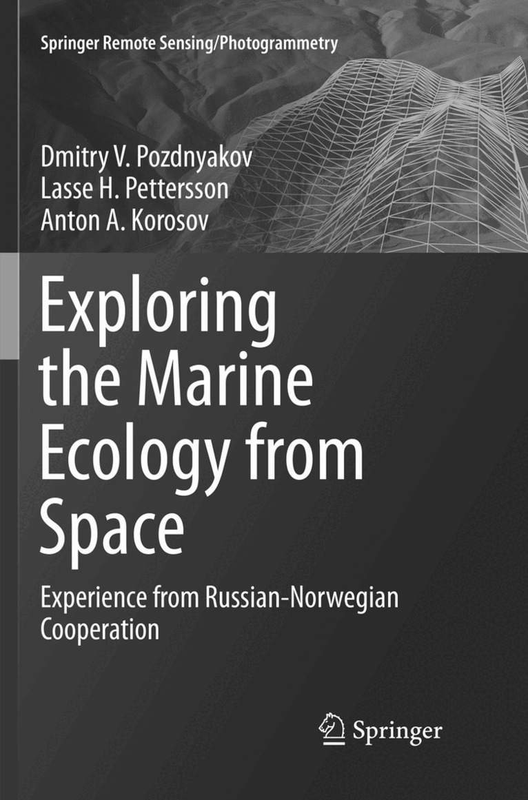
Exploring the Marine Ecology from Space
Experience from Russian-Norwegian cooperation
Av Dmitry V. Pozdnyakov, Lasse H. Pettersson m. fl.
Inbunden, 2017
1419 kr
Lägg i varukorg
This book provides results of spatial and temporal distributions of water quality parameters and marine primary production and its relationship with the driving atmospheric, ocean circulation and hydrobiological mechanisms established through a synergistic use of multi-spectral region spaceborne …
Earth Science Satellite Applications
Current and Future Prospects
Inbunden, 2016
1636 kr
Lägg i varukorg
The combined observational power of the multiple earth observing satellites is currently not being harnessed holistically to produce more durable societal benefits. We are not able to take complete advantage of the prolific amount of scientific output and remote sensing data that are emerging …
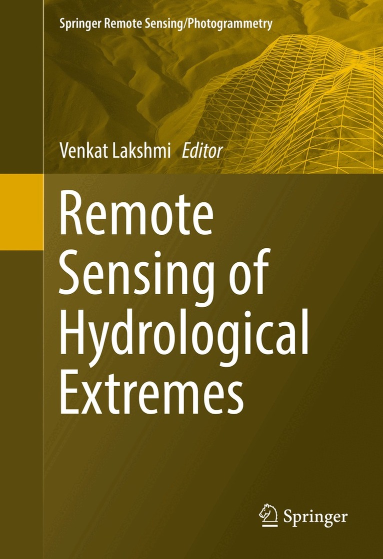
Remote Sensing of Hydrological Extremes
Inbunden, 2016
1853 kr
Lägg i varukorg
This volume provides in-depth coverage of the latest in remote sensing of hydrological extremes: both floods and droughts. The book is divided into two distinct sections – floods and droughts – and offers a variety of techniques for monitoring each. With rapid advances in computer modelling and …
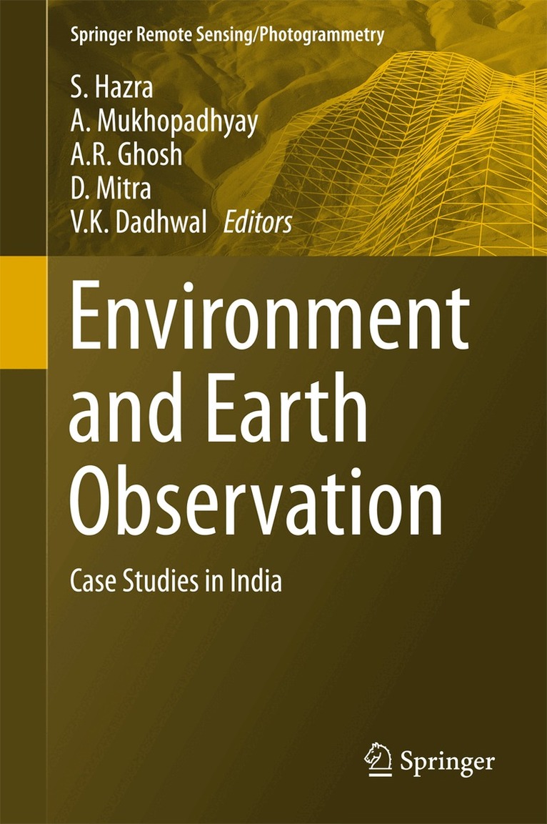
Environment and Earth Observation
Case Studies in India
Av S. Hazra, A. Mukhopadhyay m. fl.
Inbunden, 2016
1527 kr
Lägg i varukorg
This book presents relevant and contemporary research on the remote sensing of landscapes, agriculture & forestry, geomorphology, coasts & oceans, natural hazards and wild habitats. It highlights the application of remote sensing in understanding natural processes and oceanic features, as well as …
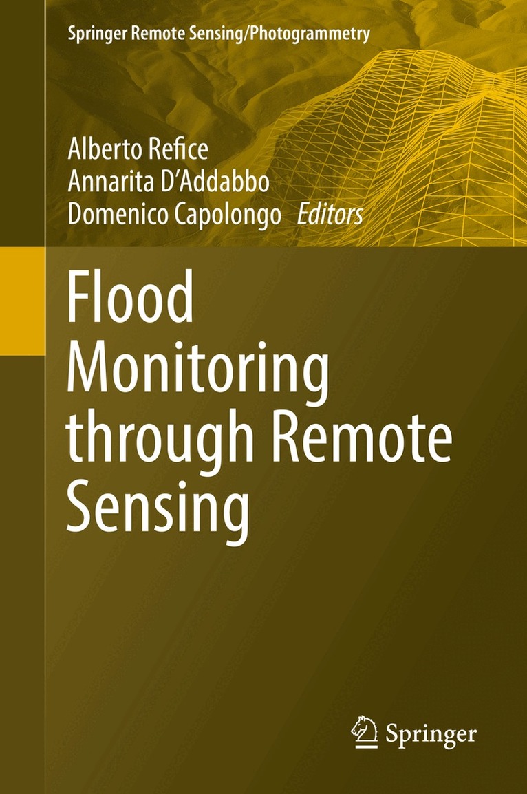
Flood Monitoring through Remote Sensing
Av Alberto Refice, Annarita D'Addabbo m. fl.
Inbunden, 2017
1636 kr
Lägg i varukorg
This book is an overview of current state of the art about monitoring of inundation events through remote sensing. A complete approach to efficient and precise flood monitoring requires multiple fields of expertise, from image processing to hydrologic monitoring. This volume details the latest …
Land-Atmospheric Research Applications in South and Southeast Asia
Av Krishna Prasad Vadrevu, Toshimasa Ohara m. fl.
Inbunden, 2018
2179 kr
Lägg i varukorg
This edited volume sheds new light on the impact of rapid Land Use/Cover Changes (LU/CC) on greenhouse gases (GHG’s) and aerosol emissions in South and Southeast Asia. Several countries in South/Southeast Asia have the highest population growth rates in the world, which is the main cause for LU/CC. …
Remote Sensing of Clouds and Precipitation
Inbunden, 2018
1853 kr
Lägg i varukorg
This book presents current applications of remote sensing techniques for clouds and precipitation for the benefit of students, educators, and scientists. It covers ground-based systems such as weather radars and spaceborne instruments on satellites. Measurements and modeling of precipitation are at …
Exploring the Marine Ecology from Space
Experience from Russian-Norwegian cooperation
Av Dmitry V. Pozdnyakov, Lasse H. Pettersson m. fl.
Häftad, 2018
1419 kr
Lägg i varukorg
This book provides results of spatial and temporal distributions of water quality parameters and marine primary production and its relationship with the driving atmospheric, ocean circulation and hydrobiological mechanisms established through a synergistic use of multi-spectral region spaceborne …