• Fri frakt över 249 kr
  • •
  • Snabba leveranser
  • •
  • Billiga böcker
Kundservice

Du är på sajten för privatpersoner.

Företag, bibliotek eller offentlig verksamhet?

Du handlar på classic.bokus.com, där alla dina funktioner finns intakta.
Till classic.bokus.com
Bokus logotyp. Gå till startsidan.
  • Erbjudanden
  • Nyheter
  • Student
  • Topplistor
  • Barn & ungdom
  • Bokus Play
  • E-böcker
  • Pocketböcker
  • Spel & pussel

10% rabatt på allt med kod: NYSTART10 →

Sidfot

Mina sidor

    Hjälp

    • Kundservice
    • Vanliga frågor och svar
    • Frakt och leverans
    • Retur vid ångerrätt
    • Reklamera vara
    • Betalning
    • Köpvillkor
    • Allmänna villkor
    • Information om webbplatsens tillgänglighet

    Om Bokus

    • Om oss
    • Pressrum
    • För studenter
    • För företag
    • För bibliotek och offentlig verksamhet
    • För leverantörer
    • Hållbarhet

    Populärt

    • Aktuella erbjudanden
    • Presentkort
    • Studentlitteratur
    • Nya böcker
    • Topplistor
    • Signerade böcker
    • Engelska böcker

    Inspiration

    • Boktips
    • BookTok
    • Populära bokserier
    • Barnbokskaraktärer
    • Populära författare
    Logotyp för Bokus
    Följ oss på Facebook (extern länk)Följ oss på Instagram (extern länk)Följ oss på YouTube (extern länk)Följ oss på TikTok (extern länk)
    bokus @ CookiesAnpassa cookiesIntegritetspolicyKöpvillkor
    Till Citymail hemsida (extern länk)Till Budbee hemsida (extern länk)Till Postnord hemsida (extern länk)Till Schenker hemsida (extern länk)Till Early Bird hemsida (extern länk)Till Walleys hemsida (extern länk)
    1. Naturvetenskap och teknik
    2. Geovetenskap
    3. Miljövetenskap och miljöpolitik

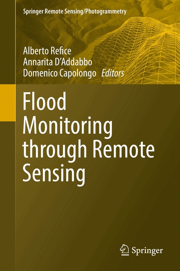
    Flood Monitoring through Remote Sensing

    AvAlberto Refice,Annarita D'Addabbo

    Inbunden, Engelska, 2017

    Del i serien Springer Remote Sensing/Photogrammetry

    1 626 kr

    Beställningsvara. Skickas inom 10-15 vardagar. Fri frakt över 249 kr.

    Beskrivning

    This book is an overview of current state of the art about monitoring of inundation events through remote sensing. A complete approach to efficient and precise flood monitoring requires multiple fields of expertise, from image processing to hydrologic monitoring. This volume details the latest remote sensing techniques for flood monitoring and mapping, including use of optical data from geostationary sensors and LEO spacecraft, synthetic aperture radar (SAR) data analysis, and data fusion. Detailed case studies from a variety of subject experts illustrate these tools and techniques. Accurate monitoring of flood events is increasingly necessary to gain insight about both causes and remedies. Floods are one of the most destructive hazards to the human populations, they can occur practically everywhere on the Earth surface, and each year cause considerable harm and damage to infrastructures. The recent Flood directive in European Countries is contributing to a more quantitative approach to flood hazard and risk evaluation.

    Produktinformation

    • Utgivningsdatum:2017-12-01
    • Mått:155 x 235 x 18 mm
    • Vikt:500 g
    • Format:Inbunden
    • Språk:Engelska
    • Serie:Springer Remote Sensing/Photogrammetry
    • Antal sidor:209
    • Upplaga:17001
    • Förlag:Springer International Publishing AG
    • ISBN:9783319639581

    Utforska kategorier

    • Miljövetenskap och miljöpolitik inom Naturvetenskap och teknik
    • Geografi inom Naturvetenskap och teknik
    • Hydrologi inom Naturvetenskap och teknik

    Mer om författaren

    Alberto Refice is a Researcher at CNR-ISSIA (Consiglio Nazionale delle Ricerche - Istituto di Studi sui Sistemi Intelligenti per l'Automazione), in Bari, Italy.His main interests concern advanced processing techniques for remotely sensed data, especially from synthetic aperture radar (SAR). He is involved in several activities and projects on remote sensing data analysis, funded by national and international entities, mainly focused on applications involving monitoring of environmental hazards, geo-hydrological processes, and landscape evolution.Annarita D’Addabbo is a Researcher at CNR-ISSIA (Consiglio Nazionale delle Ricerche - Istituto di Studi sui Sistemi Intelligenti per l'Automazione), in Bari, Italy.Her research activity is focused on the theoretical and experimental analysis of different classification methodologies, statistical models and machine learning techniques, applied to land cover change detection problems and to the monitoring of natural hazards from remote sensing data. She is involved in national and international projects concerning the development of automatic tools devoted to environmental hazard detection and mapping, including landslides and flood.Domenico Capolongo is Associate Professor of Physical Geography and Geomorphology at the Earth and Environmental Science department University of Bari, Italy. His studies concern the processes responsible for shaping the Mediterranean landscapes. In particular, he focuses on the spatial and temporal distributions of geomorphological processes at different scales in a high-rate evolving environment. He is involved in development and application of  remote sensing and computer simulation techniques, as tools for qualitative and quantitative insight into geomorphological systems and landscape dynamics. Dr. Capolongo is a Member of the Italian Association of Geomorphology (AIGEO).

    Innehållsförteckning

    • Chapter1. Methods, techniques and sensors for precision flood monitoring through remote sensing.-Chapter2. Remote sensing as a tool for analysing channel dynamics and geomorphic effects of floods.- Chapter3. The use of DEM-based approaches to derive a priori information on flood-prone areas.- Chapter4. River Flood Forecasting System: An Intedisciplinary Approach.- Chapter5. Monitoring flood extent and area through multi-sensor, multi-temporal remote sensing: the Strymonas (Greece) river flood.- Chapter6. Adaptive SAR image processing techniques to support flood monitoring from Earth Observation data.- Chapter7. ­Flood Mapping in Vegetated and Urban Areas and other Challenges: Models and Methods.- Chapter8. Data fusion through Bayesian methods for flood monitoring from remotely sensed data.