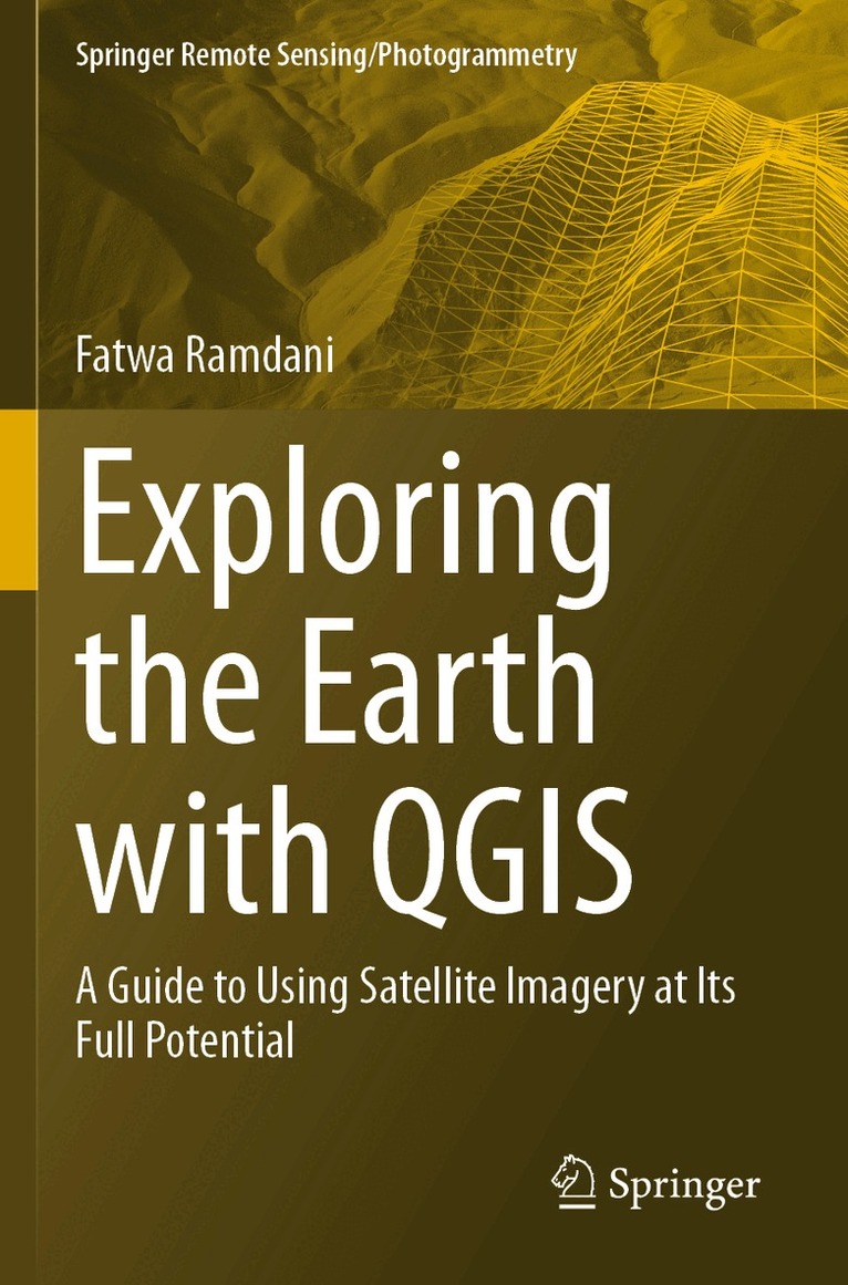
Häftad, Engelska, 2024
Exploring the Earth with QGIS
A Guide to Using Satellite Imagery at Its Full Potential
Del i serien Springer Remote Sensing/Photogrammetry
1730 kr
Beställningsvara. Skickas inom 10-15 vardagar. Fri frakt över 249 kr.
Beskrivning
Produktinformation
- Utgivningsdatum: 2024-11-23
- Mått: 155 x 235 x 14 mm
- Vikt: 388 g
- Format: Häftad
- Språk: Engelska
- Serie: Springer Remote Sensing/Photogrammetry
- Antal sidor: 232
- Förlag: Springer International Publishing AG
- ISBN: 9783031460449
Utforska kategorier
Mer om författaren
Dr. Fatwa Ramdani currently serves as a Professor at the University of Tsukuba in Japan. His research primarily focuses on environmental impact assessment, specifically leveraging earth observation data to investigate matters concerning human influence on the environment and issues of sustainability. His dedication to this field has resulted in the publication of 7 books and over 100 peer-reviewed articles in conferences and journals. He is affiliated with esteemed organizations such as the IEEE Geoscience and Remote Sensing Society (IGARSS), Japan Society of Photogrammetry and Remote Sensing (JSPRS), Remote Sensing Society of Japan (RSSJ), and European Geoscience Union (EGU). He actively serves as a reviewer for various journals including Nature Communications, International Journal of Remote Sensing, Climatic Change, Remote Sensing of Environment, and Global Environmental Change.
Betyg & recensioner
0 recensioner
Inga recensioner tillgängliga.